Via ferrata from Toline to Corna Trentapassi
Circular route that from the Toline di Pisogne leads to the summit of Corna Trentapassi. Along the summit ridge, an equipped path with exciting passages has been set up. The via ferrata represents only a short section of the itinerary. Technically not demanding, but not trivial either, it is recommended for expert hikers.
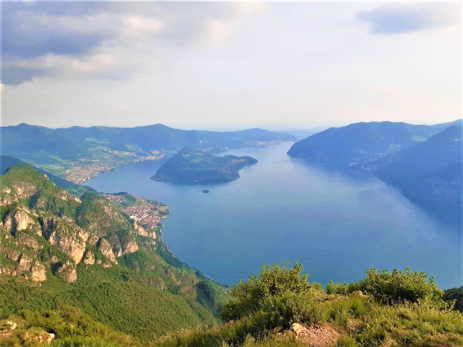
Approach path
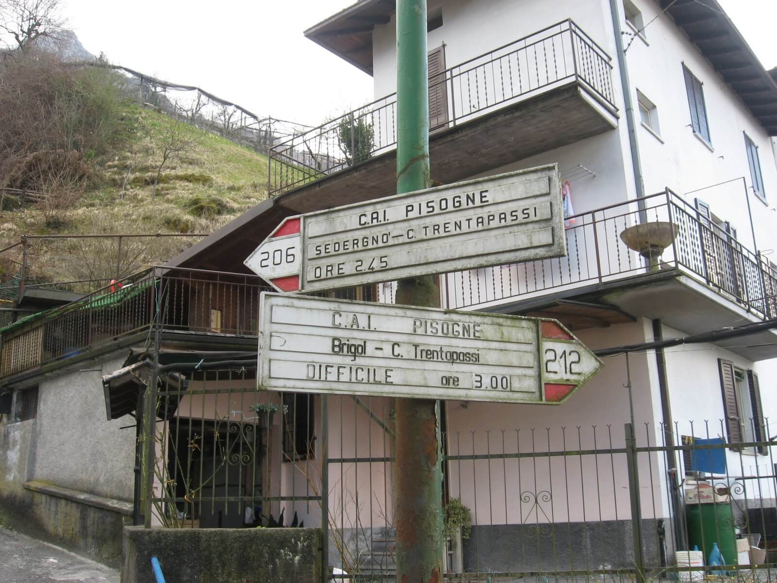
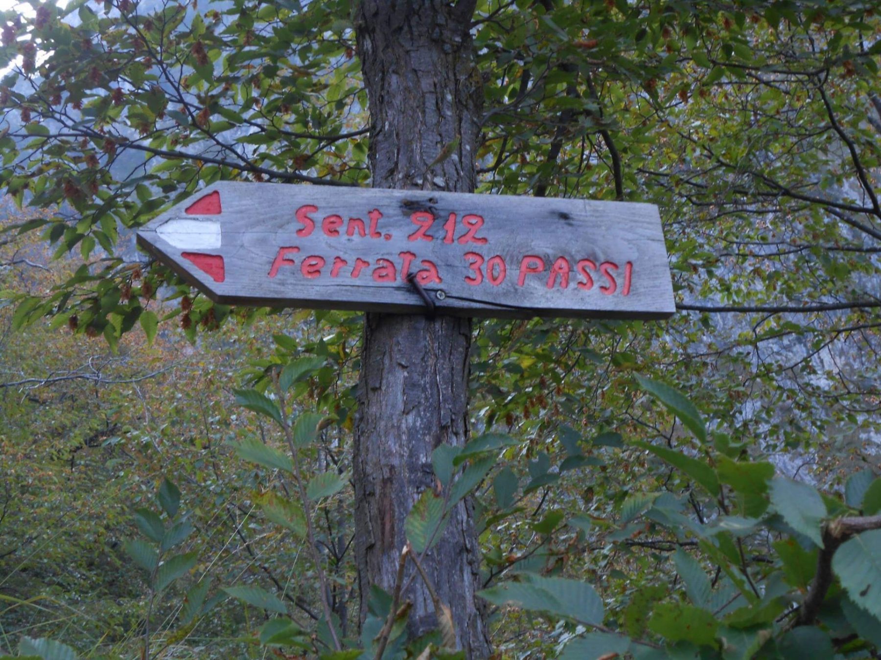
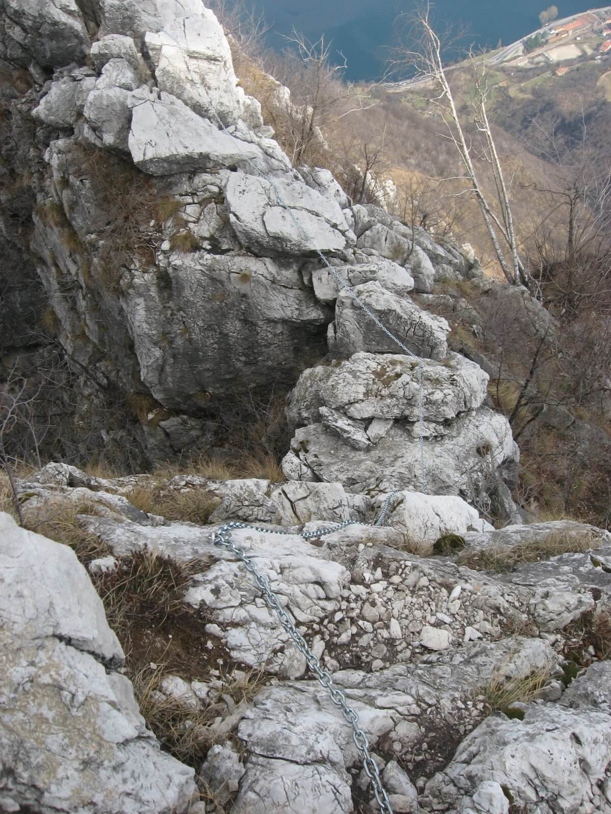
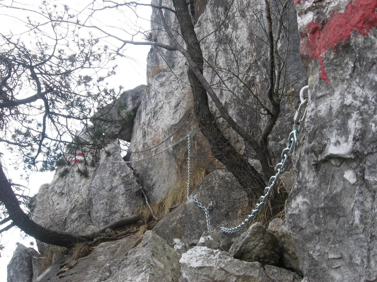
The route begins at the entrance of the hamlet, where a small car park is located. From here you head to the right along Via Canale, shortly finding yourself in front of a small bridge. Turn right and take CAI path 212, starting the climb into the woods. Continue until you reach a crossroads, where it is advisable to keep right, as the path is less demanding. Continuing in this direction, you reach a flat stretch, where it is advisable to wear a harness. In fact, after passing some rocks, you reach a yellow sign and therefore the beginning of the via ferrata (1 hour and 45 minutes from the car park).
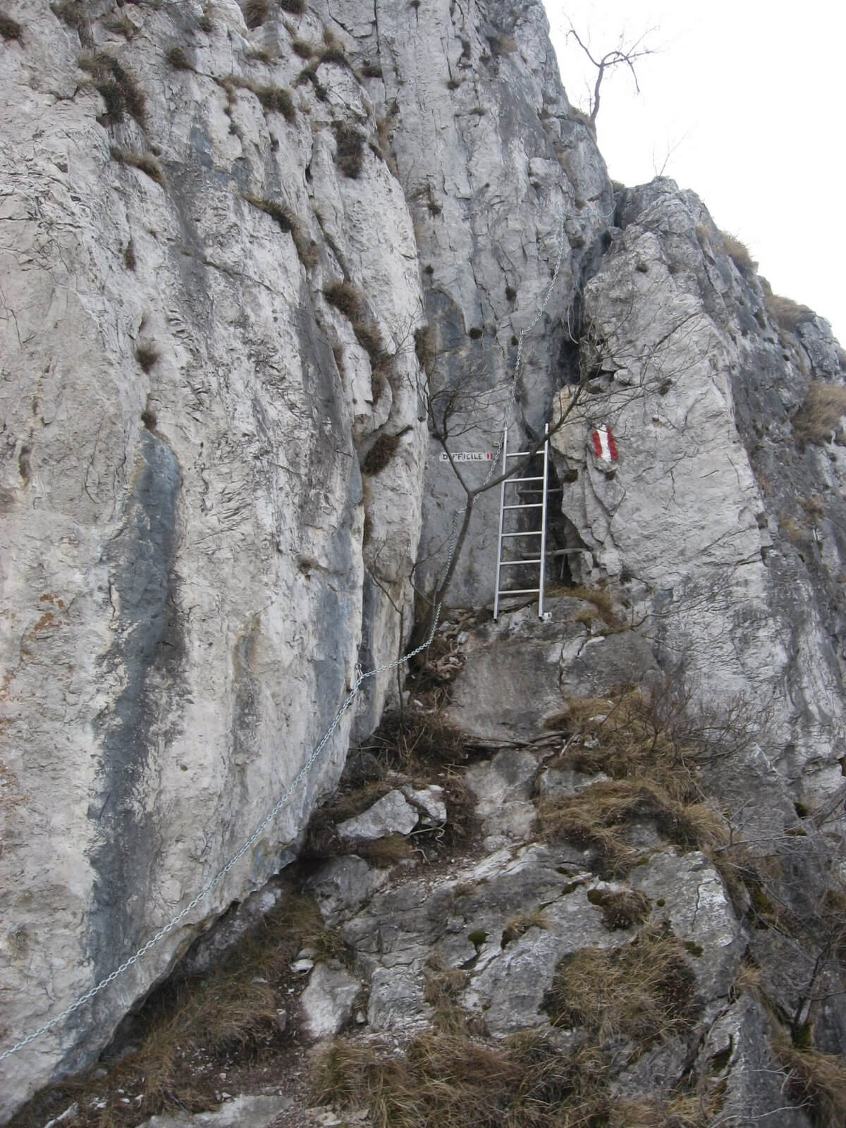
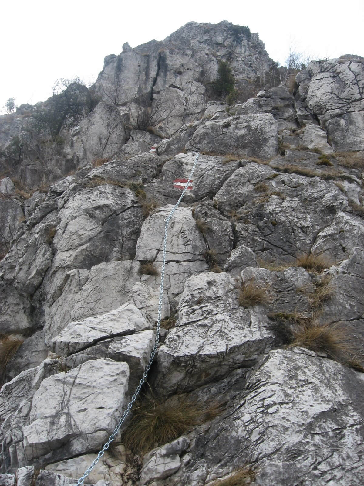
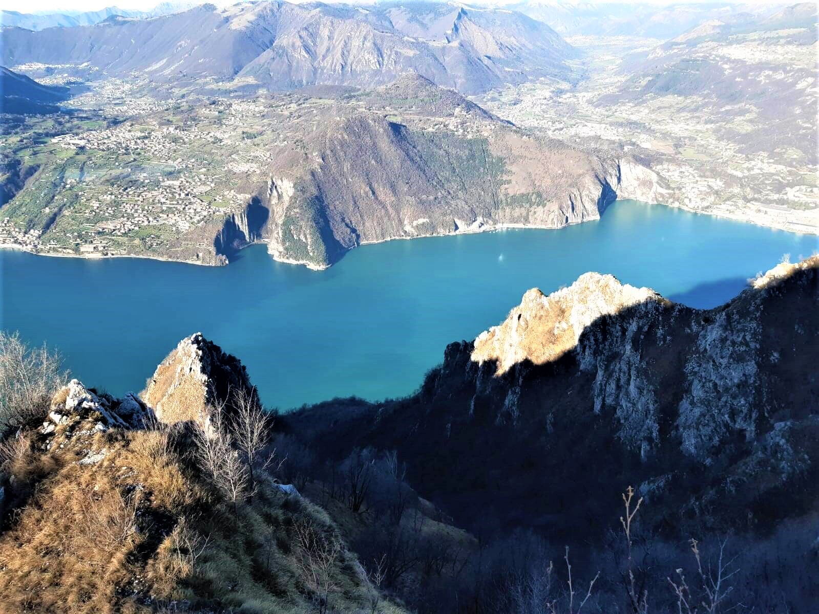
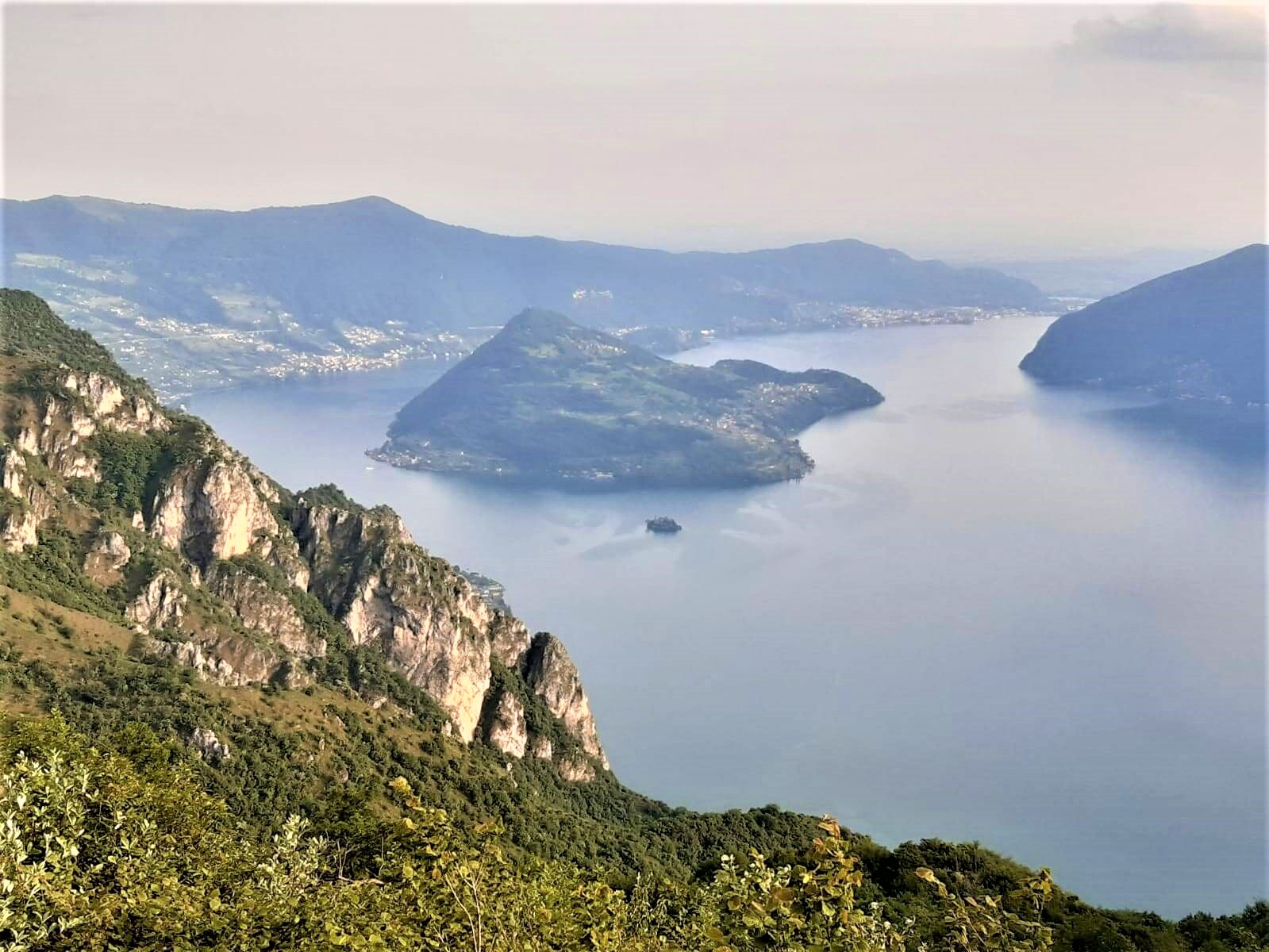
At the end of the equipped section, which lasts 1 hour and has a height difference of 100 metres, to reach the top of Corna Trentapassi you must continue along the signs on the right side of the ridge, descending to a saddle where you start climbing again. Once you reach a crossroads, continue straight on rocks (1st steps) to the summit (1247 m), or to the left along the gentler CAI 205 path (in both cases approximately 30 minutes from the end of the via ferrata).
For the descent, follow the usual uphill path from Zone, which goes past the pre-summit of Trentapassi on the left, where there is a cross, and reaches a small saddle at the entrance to the forest. Here you will find the trail signs indicating the possibility of descending westwards to Vello di Marone, southwards to Zone, eastwards to Croce di Zone or northwards to Toline (CAI path 206). This last path, very beautiful although steep, is the quickest to return to the starting point. After about an hour’s walk you reach a crossroads: turning left you quickly reach the hamlet of Sedergnò from which, on a cemented mule track, you return to the bridge where you took the path at the start and, quickly, to the car park.
DETAILS
- Difficulty: difficult (EE)
- Duration: 4h 45 min
- Distance: 8,1 km
- Difference in altitude: +1020 m
- Starting point: Via Canale, Toline di Pisogne
- Arrival point: Via Canale, Toline di Pisogne
- Trail number: 212, 205, 206
For a complete description of the path please download the attached file or visit www.ferrate365.it
Trust the experience of:
Scarica i file della mappa

Puoi aprire il file gpx
con l’app outdooractive


