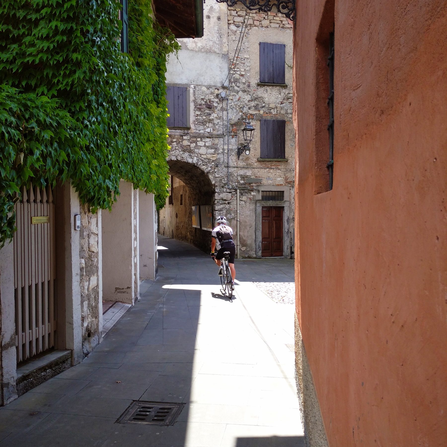
Greenway of the Oglio River
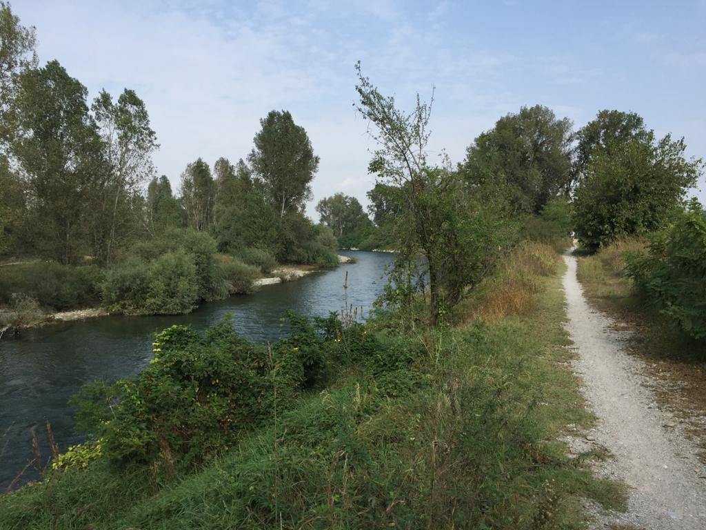
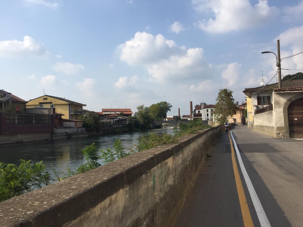
The Greenway along the river Oglio, awarded as “the most beautiful cycle path in Italy” by the Italian Green Road Award Guide Prize in 2019, is 280 km long with a difference in height of 1800 meters.
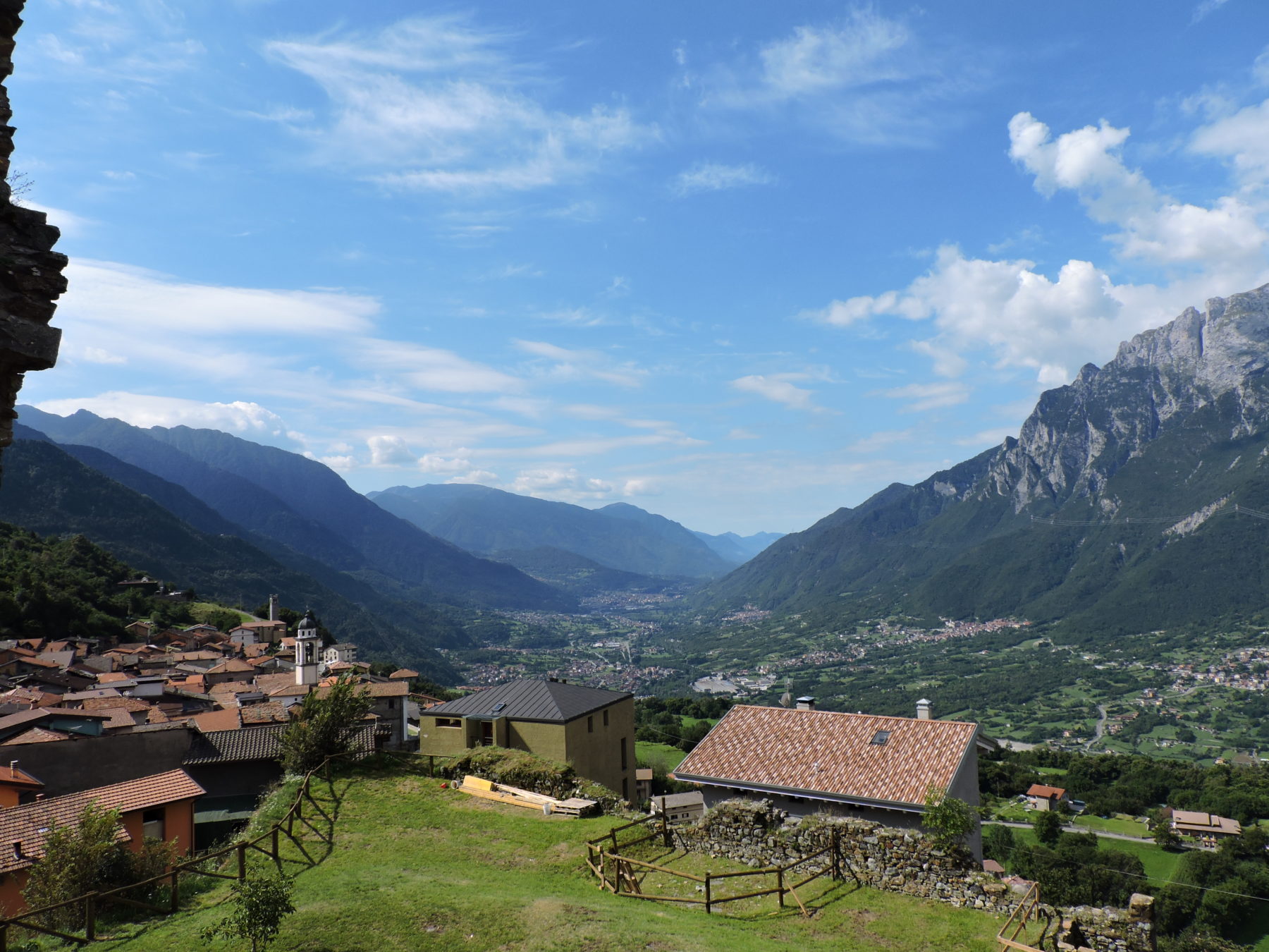
It starts from Passo del Tonale (1888 metres above sea level) and, passing through Valcamonica, Lake Iseo, Franciacorta and the River Oglio Parks, it follows the course of the river and reaches San Matteo delle Chiaviche, on the river Po.
DE –Der Radweg des Flusses Oglio wurde im Jahr 2019 von der Jury des Italian Green Road Award als „schönster Radweg Italiens“ nominiert; er ist 280 km lang mit einem Höhenunterschied von rund 1800 Höhenmetern.
Der Weg beginnt am Passo del Tonale (1888 Meter über dem Meeresspiegel) und führt über Valcamonica, Iseosee, Franciacorta und die Oglio-Parks dem Flusslauf nach San Matteo delle Chiaviche am Fluss Po.
Useful info / nützliche Info
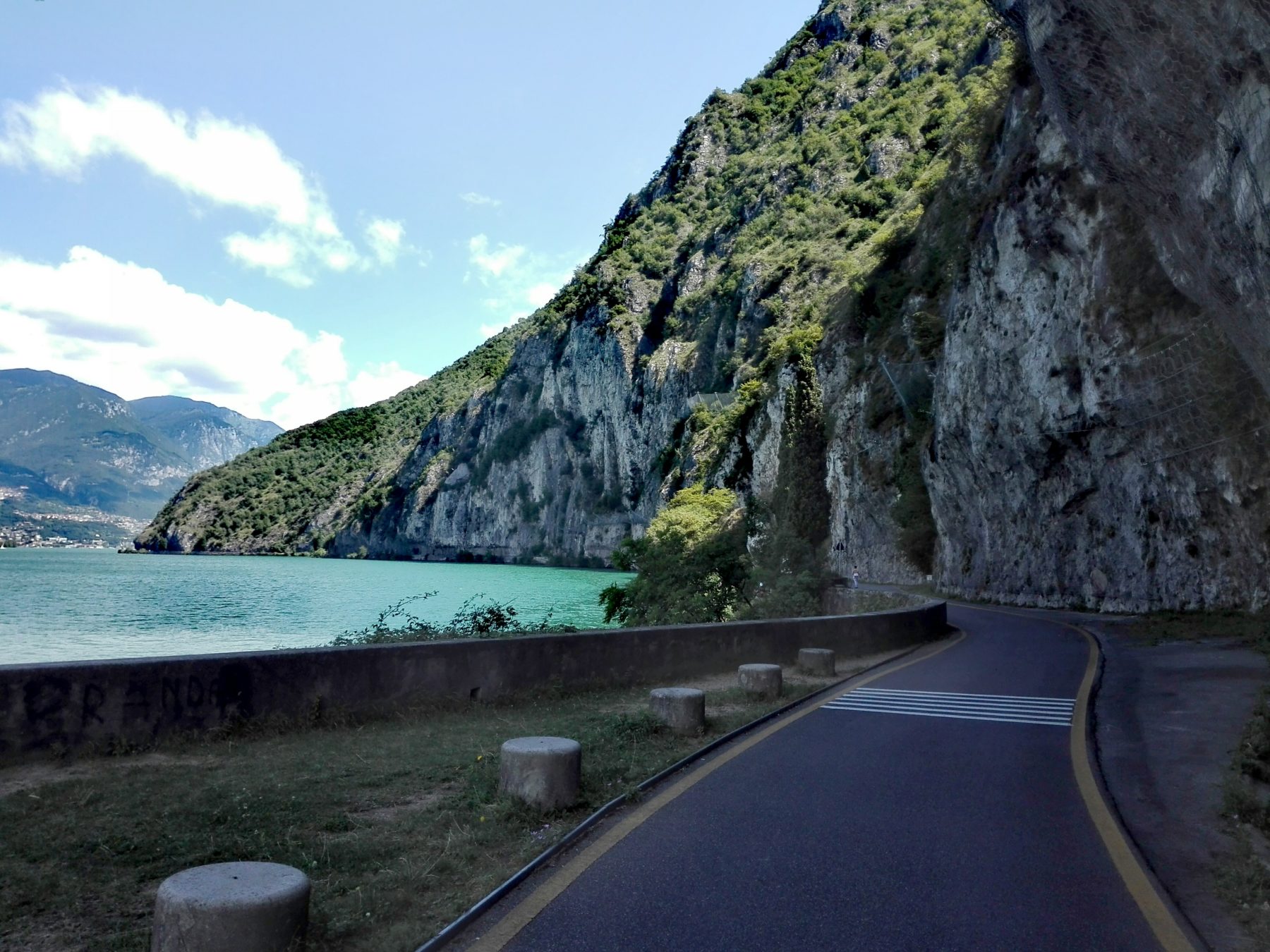
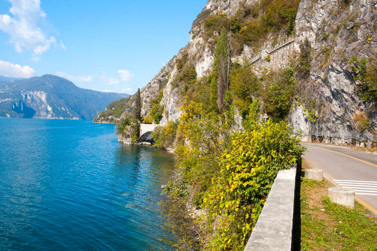
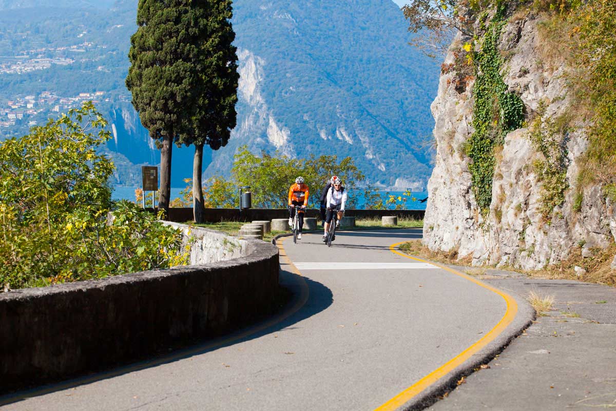
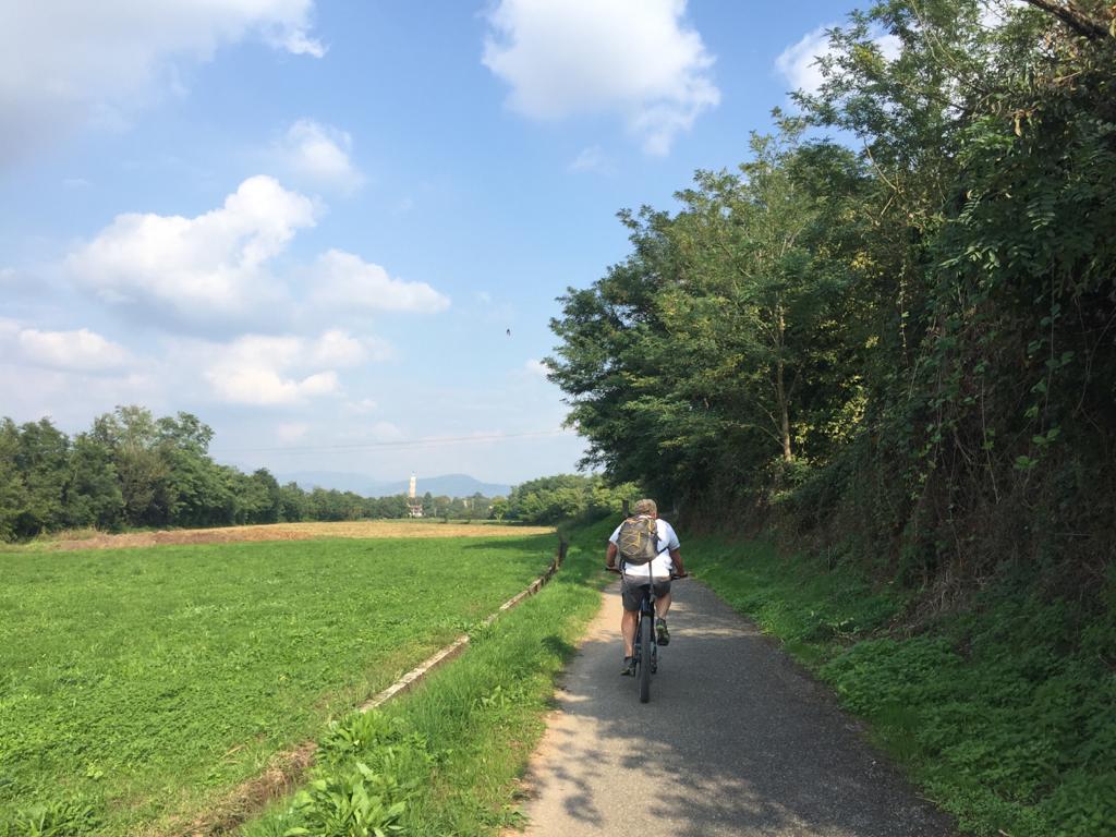
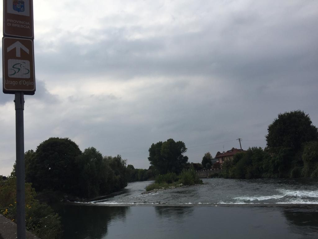
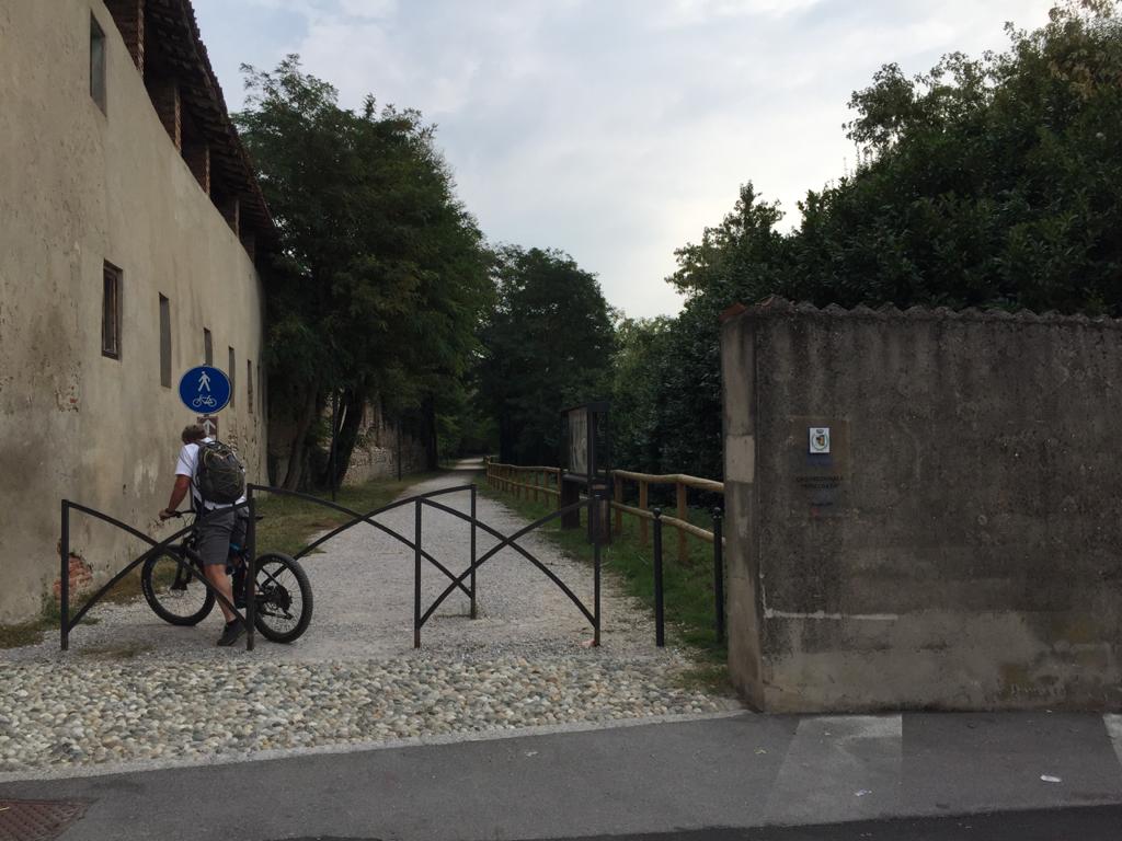
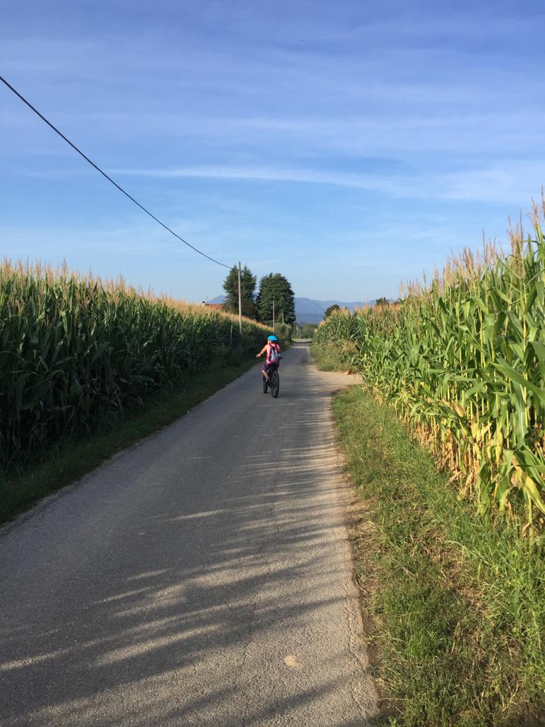
The itinerary (marked by vertical and horizontal road signs with the River Oglio cycle path’s logo) winds along cycle path and on dirt roads and it is suitable for all types of bicycles and cyclists.
For further information click here.
DE –Die Route, die durch vertikale und horizontale Schilder mit dem Logo des Radwegs des Flusses Oglio gekennzeichnet wird, schlängelt sich entlang eines Radwegs und unbefestigter Straßen, die für alle Arten von Fahrrädern und Radfahrern geeignet sind.
Für weitere Informationen klicken Sie hier.
DETAILS
- Distance: 274 km
- Difference in height: +1800 m
- Starting point: Passo del Tonale
- Arrival point: S. Matteo delle Chiaviche (MN)
- Trail sign: Ciclovia dell'Oglio - Po/Tonale
Book now:
Bike rental
Iseo
Iseo Bike rents city bikes, mountain bikes, pedal assisted electric bicycles, for individuals, famil...
 BOOK NOW
Monte Isola by night – bike tour
Iseo
“Monte Isola by night” is an experience that combines sport, local flavours and stunning...
BOOK NOW


