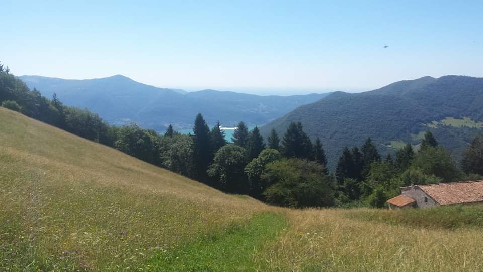
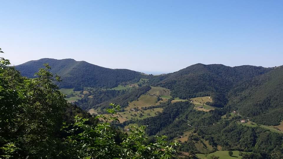
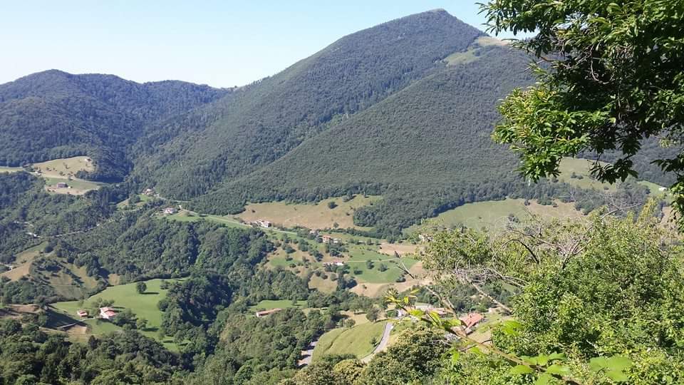
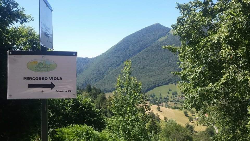
Violet Route in Vigolo
The path
Take the agro-forestry-pastoral road towards Col de Ru – 725; continue until you cross the path of connection to the Seradino-Foppelle forest road; once you have reached the locality of Foppelle, cross the meadow that connects to path 724 towards Col del Ru – Punta del Bert; when reaching Col de Ru, turn left onto the connecting path to the agro-forestry-pastoral road towards Bratta, and you will reach the point of arrival.
How to arrive and where to park
Follow the direction to Lake Iseo and towards Lovere or Sarnico and continue on the SP 469 to Tavernola Bergamasca. In the centre of the village follow the signs to reach Vigolo.
Parking space in Bratta.
Credits: Pro Loco Vigolo
DETAILS
- Difficulty:
Easy - Duration:
2 h - Distance:
6,9 km - Elevation gain:
+243 m - Starting point:
Area Camper, Località Bratta - Arrival point:
Area Camper, Località Bratta, Vigolo - Trail number:
725/724


