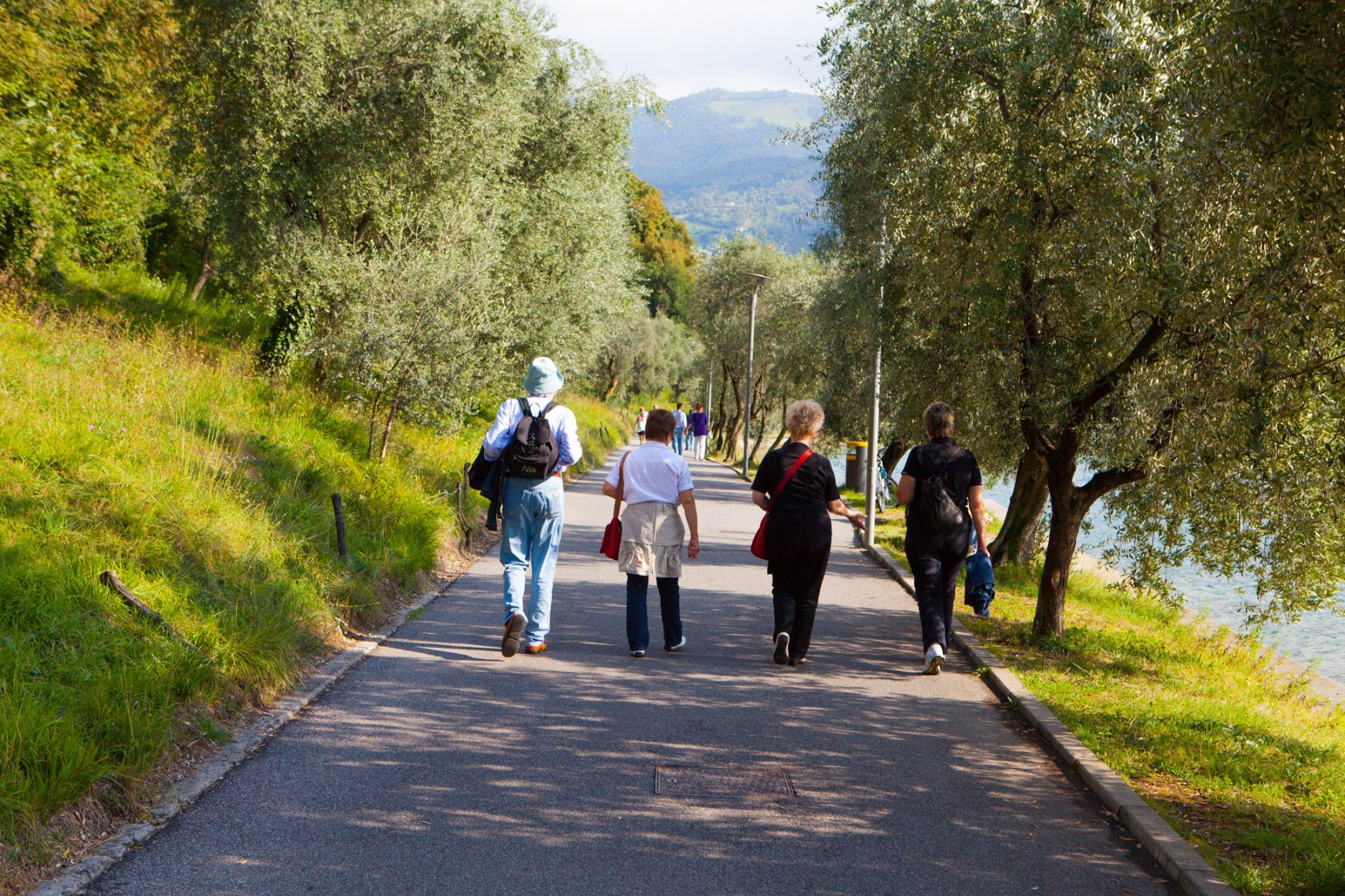
Tour of Monte Isola on foot
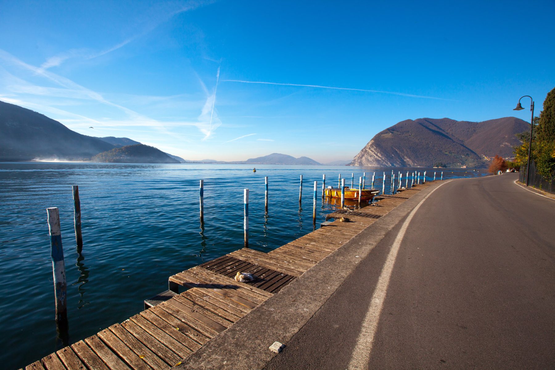
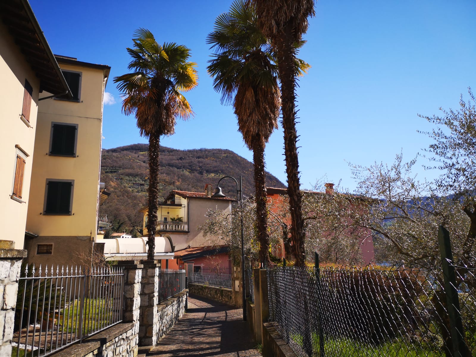
One of the most beautiful villages in Italy, Monte Isola is the biggest populated European lake island. It has a surface of 4.5 square km, a perimeter of 9 km and an altitude of about 600 m. On the slopes of the mountain and by the lake there are 11 towns connected by narrow roads on which just the municipal bus and motorbikes can run as all cars are forbidden except for public utility vehicles. This is thus the ideal place for walks and bike rides.
DE – Monte Isola ist eines der schönsten Dörfer Italiens und die größte bewohnte Seeinsel Europas. Sie hat eine Fläche von 4,5 km², einen Umfang von 9 km und ist etwa 600 Meter hoch. Es gibt 11 bewohnte Zentren, die durch schmale Straßen verbunden sind. Autos sind verboten, daher ist Monte Isola der ideale Ort zum Wandern.
The trail / der Weg
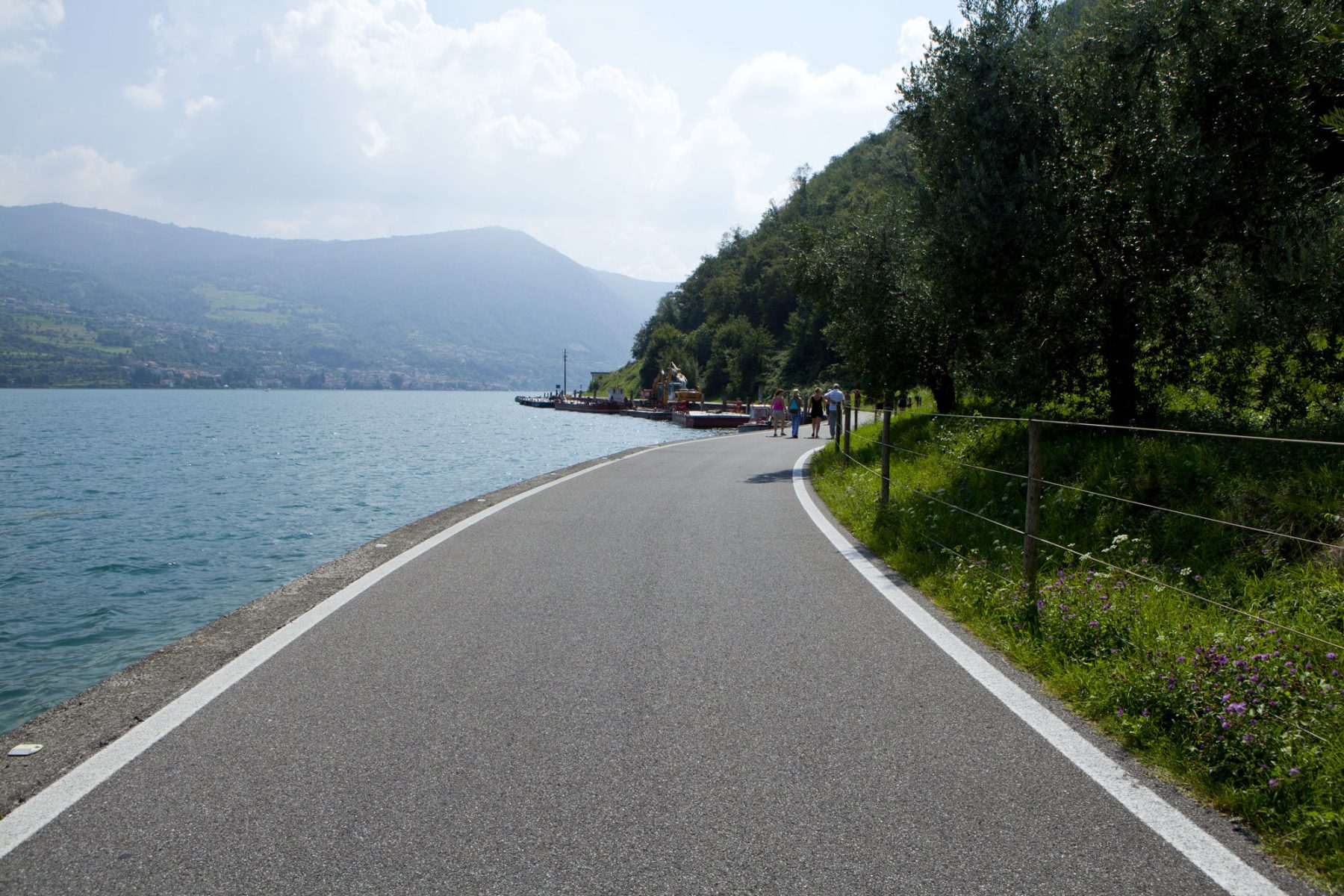
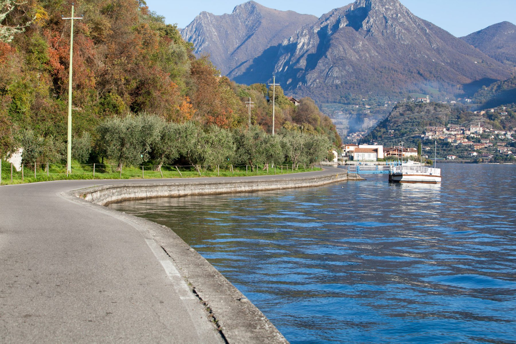
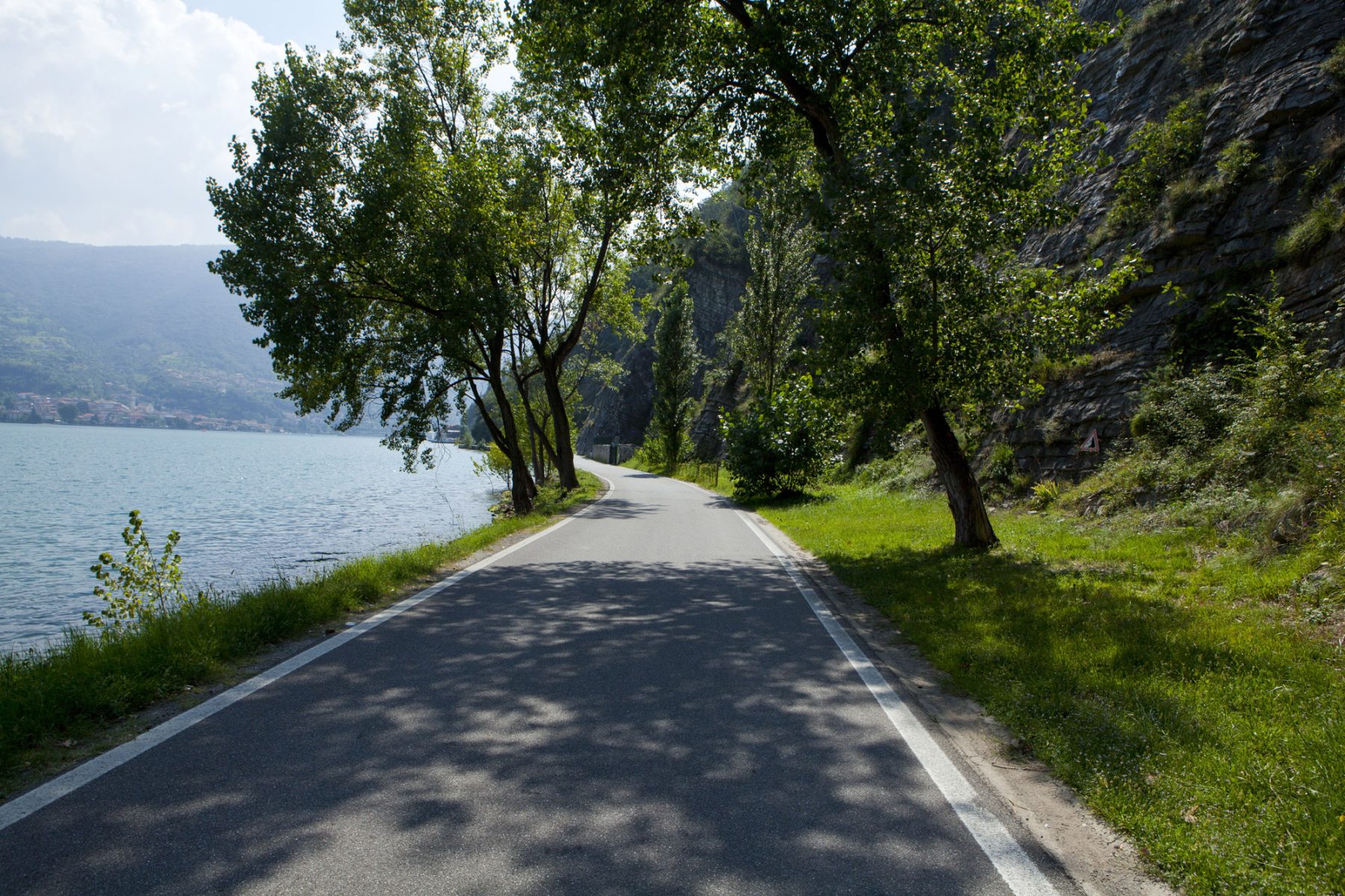
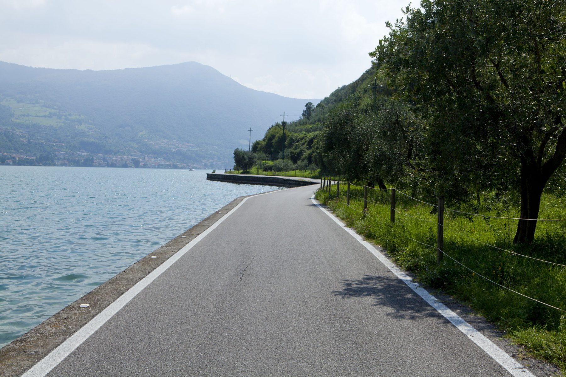
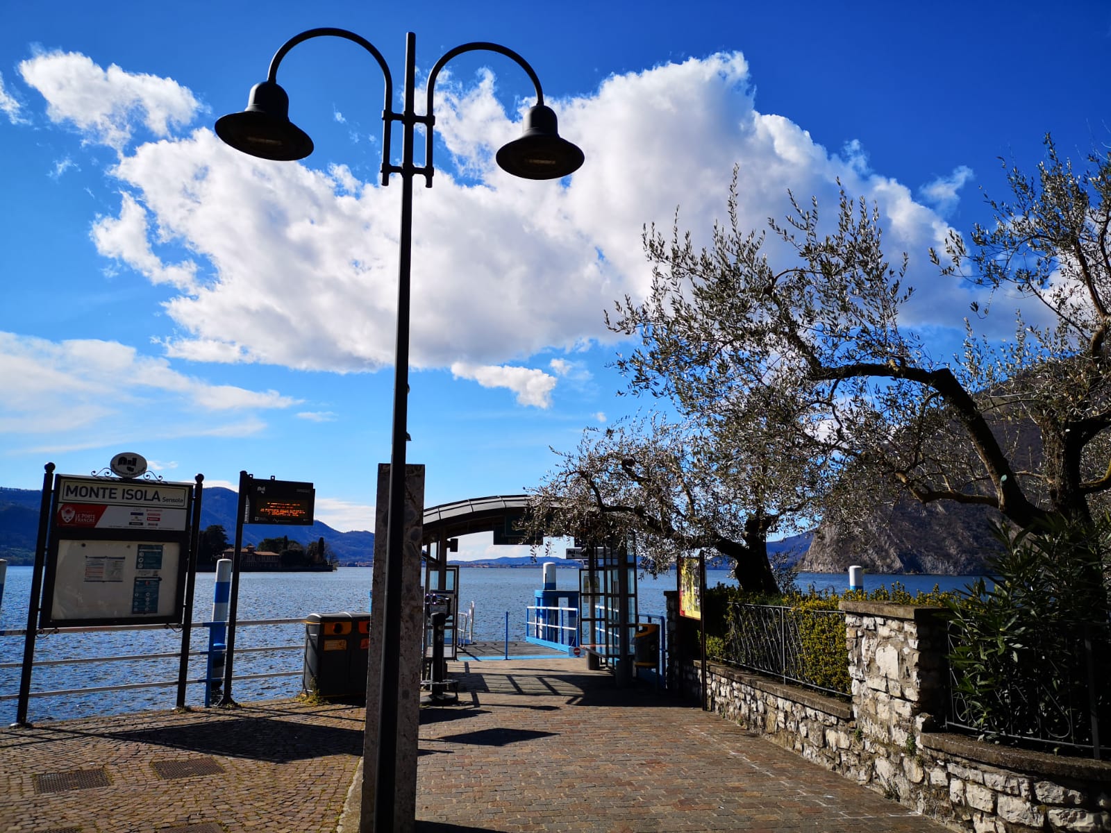
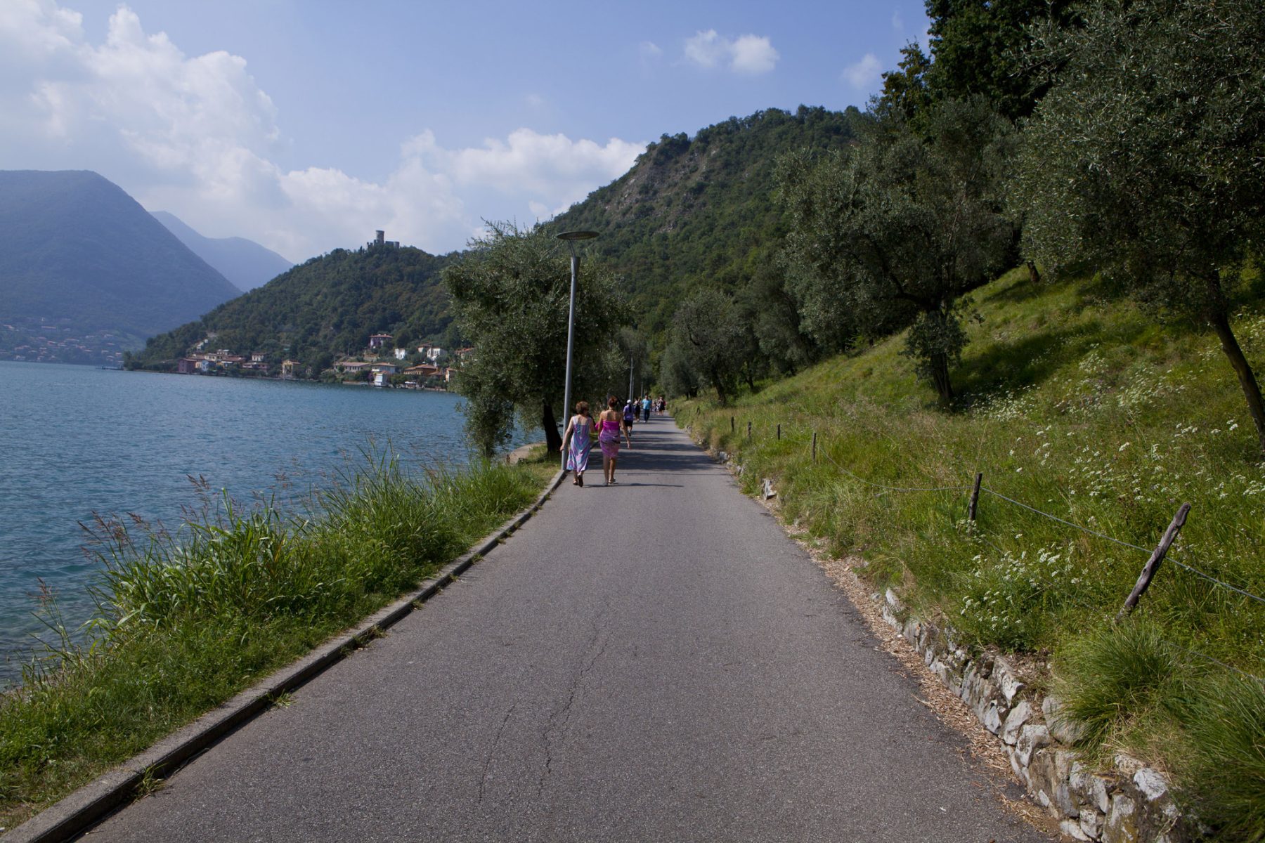
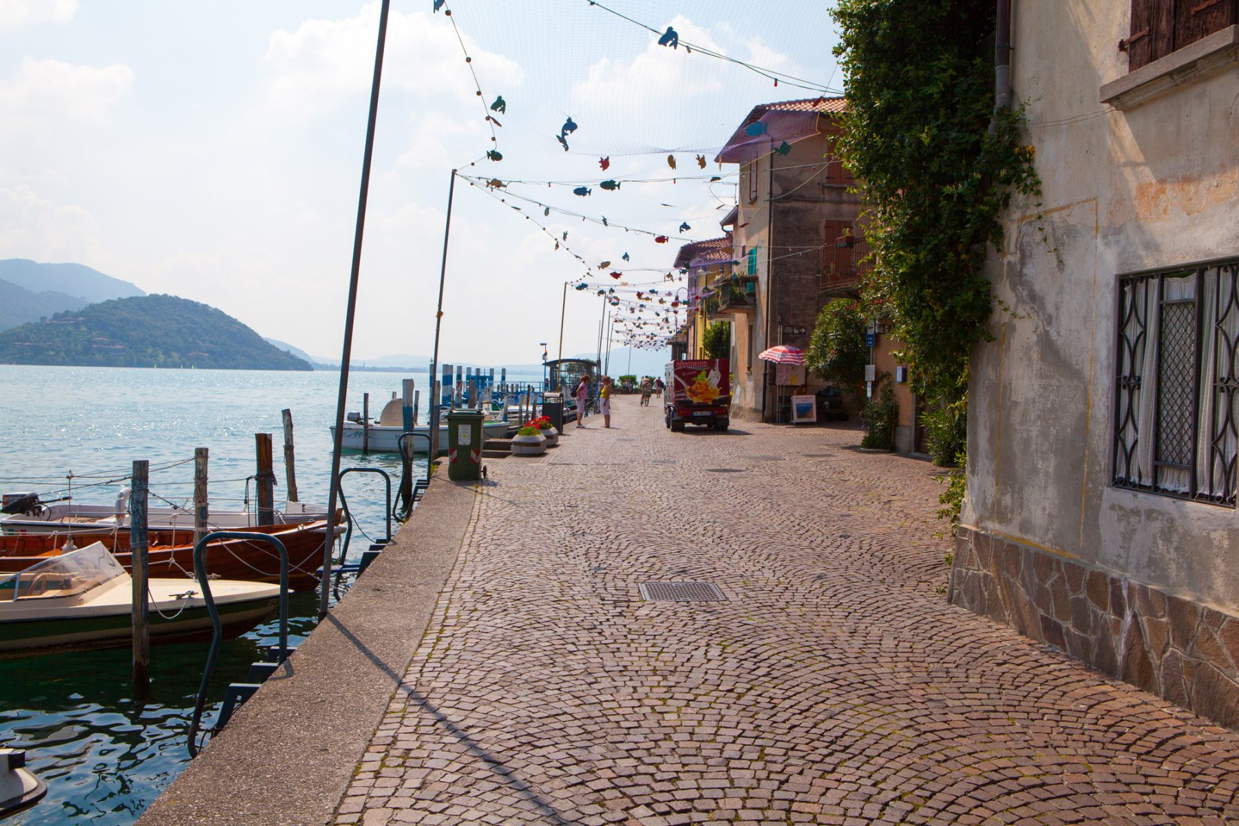
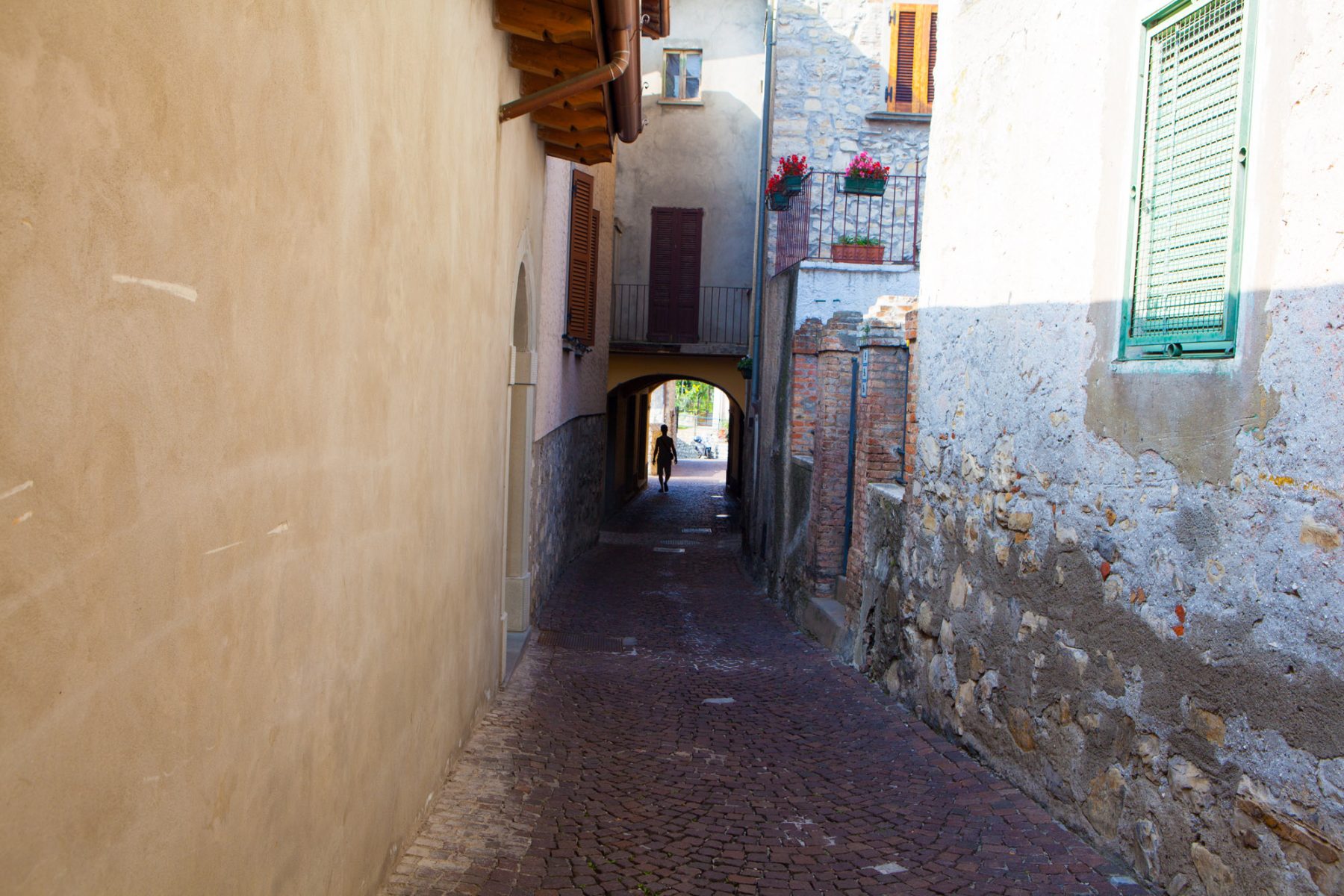
The most common itinerary is the tour of the island, which usually starts from Peschiera Maraglio. Following the coastal road clockwise, you will walk among the olive trees to Sensole, from where you can see the nearby small island of San Paolo. The road then steepens, leading to Menzino, where you can admire the majestic Oldofredi-Martinengo Fortress. Heading north, pass through the small village of Sinchignano, then reach Siviano, the “capital” of the island, a fortified town with tower houses and narrow streets. From here, the bravest can tackle a difficult ascent to the ancient villages of Cure and Masse, famous for the artisanal production of Monte Isola’s salami. From Cure, a cobbled road takes to the Madonna della Ceriola Sanctuary in twenty minutes, from which one can enjoy a breathtaking view. For those stopping in Siviano, a descent leads to Carzano, from where one can observe the island of Loreto. Once taken again the coastal road, the track ends back in Peschiera Maraglio.
DE – Peschiera Maraglio ist normalerweise der Ausgangspunkt der Inselrundfahrt. Wenn man der Küstenstraße im Uhrzeigersinn folgt, führt ein Spaziergang zwischen den Olivenbäumen nach Sensole, von wo man die nahe gelegene Insel San Paolo bewundern kann. Die Straße wird dann steil und führt in die Stadt Menzino, wo die majestätische Rocca Oldofredi-Martinengo steht. Weiter nach Norden trifft man auf die kleine Stadt Sinchignano und weiter nach Siviano, der “Hauptstadt” der Insel, einem befestigten mittelalterlichen Dorf mit Häusern, Türmen und engen Gassen. Von hier aus führt ein anspruchsvoller Aufstieg zu den alten Dörfern Cure und Masse, die für die Herstellung von Monte Isola Salami bekannt sind. Von Cure aus erreicht eine gepflasterte Straße in zwanzig Minuten das Heiligtum Madonna della Ceriola, das von der Spitze des Berges dominiert und den Touristen eine atemberaubende Aussicht bietet. Für diejenigen, die in Siviano anhalten, führt eine Abfahrt nach Carzano, von wo aus man die Insel Loreto bewundern kann. Die Route endet mit der Rückkehr nach Peschiera Maraglio an der Küstenstraße.
Useful info / nützliche Info
The tour is suitable for everyone, also for bikes and families with strollers.
Monte Isola can be reached all year round by ferry (Navigazione Lago d’Iseo) – from Sulzano to the locality Peschiera Maraglio and from Sale Marasino to the locality Carzano – every 15/20 minutes.
There are also some scheduled boats that connect the island with Iseo. It is also possible board from the other ports of the lake during the Spring and Summer months.
DE – Der Weg ist für alle geeignet, einschließlich Fahrräder, und Familien mit kleinen Kindern.
Monte Isola kann das ganze Jahr mit den Fähren der Navigazione Lago d’Iseo – von Sulzano nach Peschiera Maraglio und von Sale Marasino nach Carzano – alle 15/20 Minuten erreicht werden.
Es gibt auch einige geplante Boote, die die Insel mit Iseo verbinden. Im Frühjahr und Sommer kann man auch von den anderen Häfen des Sees aus an Bord gehen.
DETAILS
- Difficulty:
Easy - Duration:
2h 30 min - Distance:
9,4 km - Elevation gain:
+80 m - Starting point:
Peschiera Maraglio, Monte Isola - Arrival point:
Peschiera Maraglio, Monte Isola


