Trekking from Fonteno to Monte Creò
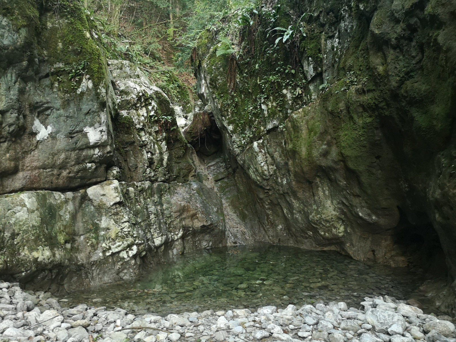
In the Fonteno valley it is possible to make pleasant excursions on paths and mule tracks that represent the witnesses of a peasant world that is slowly disappearing and from which it is possible to admire a wonderful panorama.
DE – Im Fonteno-Tal gibt es Wege und Saumpfaden, die das Zeugnis einer langsam verschwindenden Bauernwelt darstellen.
The trail / der Weg
From Piazza Belvedere walk in the historic center, until you reach the sixteenth-century church of San Rocco, where you turn left and take Via Fonte, which leads to the fountain of Coren.
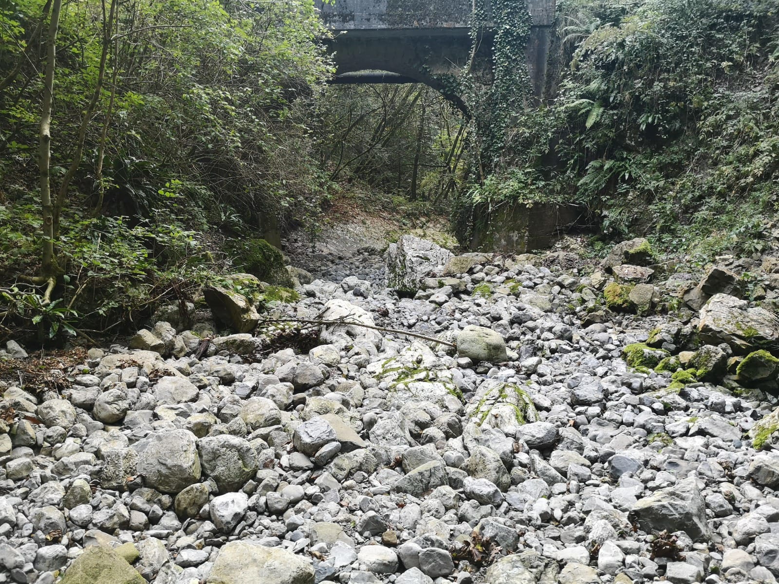
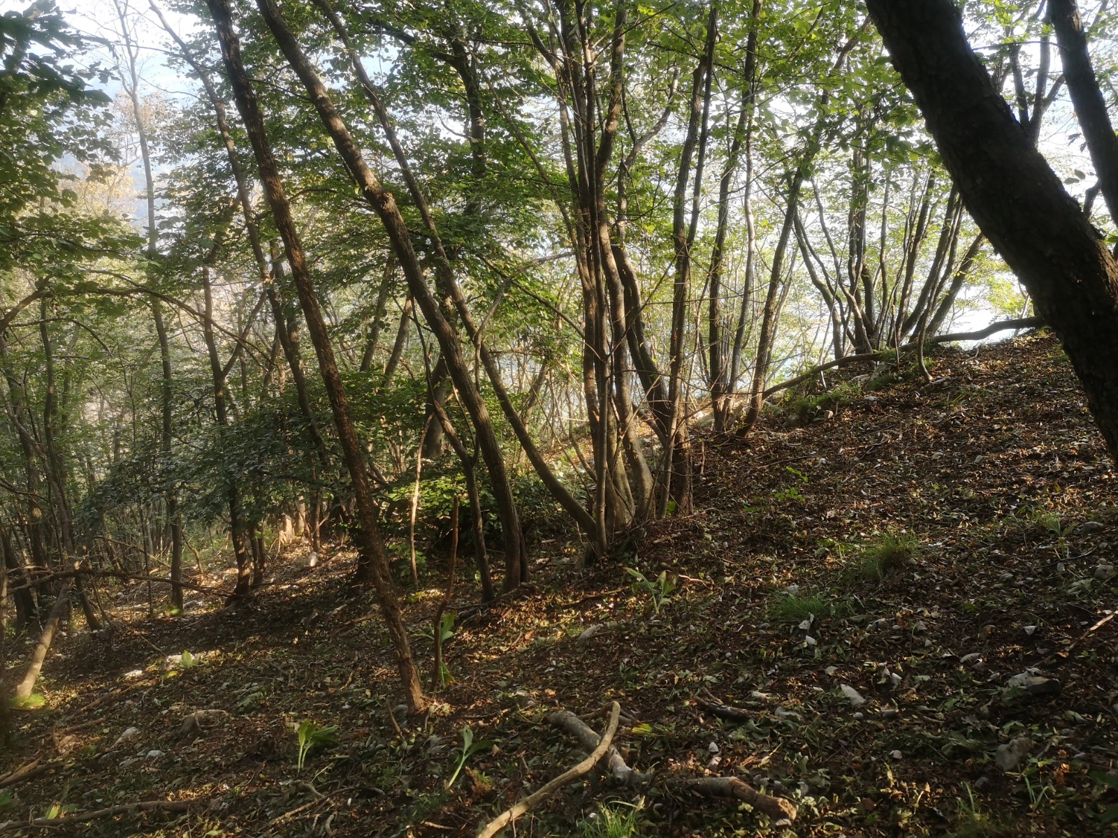
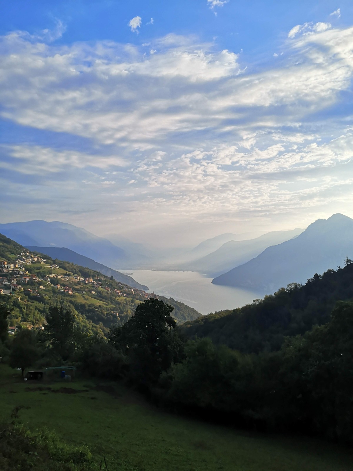
From here you start to climb, until you cross a bridge that leads to the opposite side of the valley. Following the road, go up through chestnut woods, until you reach the localities of Lof and Tuf, where the asphalt gives way to concrete and, shortly after, turns into a path. The route continues uphill in the woods until you reach the foot of the ridge, leaving room for some clearings where the view opens onto Lake Iseo and the surrounding mountains.
Monte Creò (1,106 m) is disfigured by a series of television repeaters and it is also located in private land, so the recommended itinerary does not allow you to reach the summit, but only to approach it.
DE – Von der Piazza Belvedere geht man in das historische Zentrum, bis man die kleine Kirche San Rocco aus dem 16. Jahrhundert erreicht, wo man links abbiegt und in die Via Fonte einbiegt, die zum Coren-Brunnen führt.
Von hier aus beginnen die Höhenmeter zu steigen, bis man eine Brücke überquert, die auf die gegenüberliegende Talseite führt. Der Straße folgend geht es bergauf durch Kastanienwälder bis zu den Ortschaften Lof und Tuf, wo der Asphalt in Beton übergeht und kurz darauf in einen Weg übergeht. Die Route führt weiter bergauf durch den Wald bis zum Fuß des Bergrückens und lässt Platz für einige Lichtungen, von denen aus sich der Blick auf den Iseosee und die umliegenden Berge öffnet.
Der Monte Creò (1.106 m) wird durch eine Reihe von Fernsehrepeatern verunstaltet und befindet sich ebenfalls auf privatem Grund, so dass man auf der empfohlenen Route den Gipfel nicht erreichen, sondern nur anfahren kann.
How to arrive and where to park / Anreise und Parkplätze
Fonteno can be reached by taking the SS 42 of the Cavallina Valley up to Endine Gaiano, where you turn right towards Solto Collina. Just before entering the town, turn right at the crossroads and continue for about 4km until reaching the main square of Fonteno.
Alternatively, for those arriving from Lake Iseo, it is possible to take the coastal road SP 469 to Riva di Solto, from here follow the signs for Solto Collina and then Fonteno.
Parking space in Piazza Belvedere in Fonteno, or at the entrance of the town in Piazza della Pace.
DE – Fonteno ist durch die Strada Statale 42 della Valle Cavallina erreichbar. Man fährt bis nach Endine Gaiano, wo man rechts in Richtung Solto Collina ab biegt. Bevor man das Dorf erreicht, biegt man rechts an einer Kreuzung ab und fährt ca. 4 km weiter, bis man den Hauptplatz von Fonteno erreicht.
Für diejenigen, die vom Iseosee anreisen, ist es möglich, die Küstenstraße SP 469 nach Riva di Solto zu nehmen. Von hier aus folgt man den Schildern nach Solto Collina und dann nach Fonteno.
Man kann das Auto auf Piazza Belvedere in Fonteno parken, oder am Eingang des Dorfs, auf Piazza della Pace.
Credits: Valter Agliati
DETAILS
- Difficulty:
Easy - Duration:
1h 40 min - Distance:
3,6 km - Elevation gain:
+505 m - Starting point:
Piazza Belvedere, Fonteno - Arrival point:
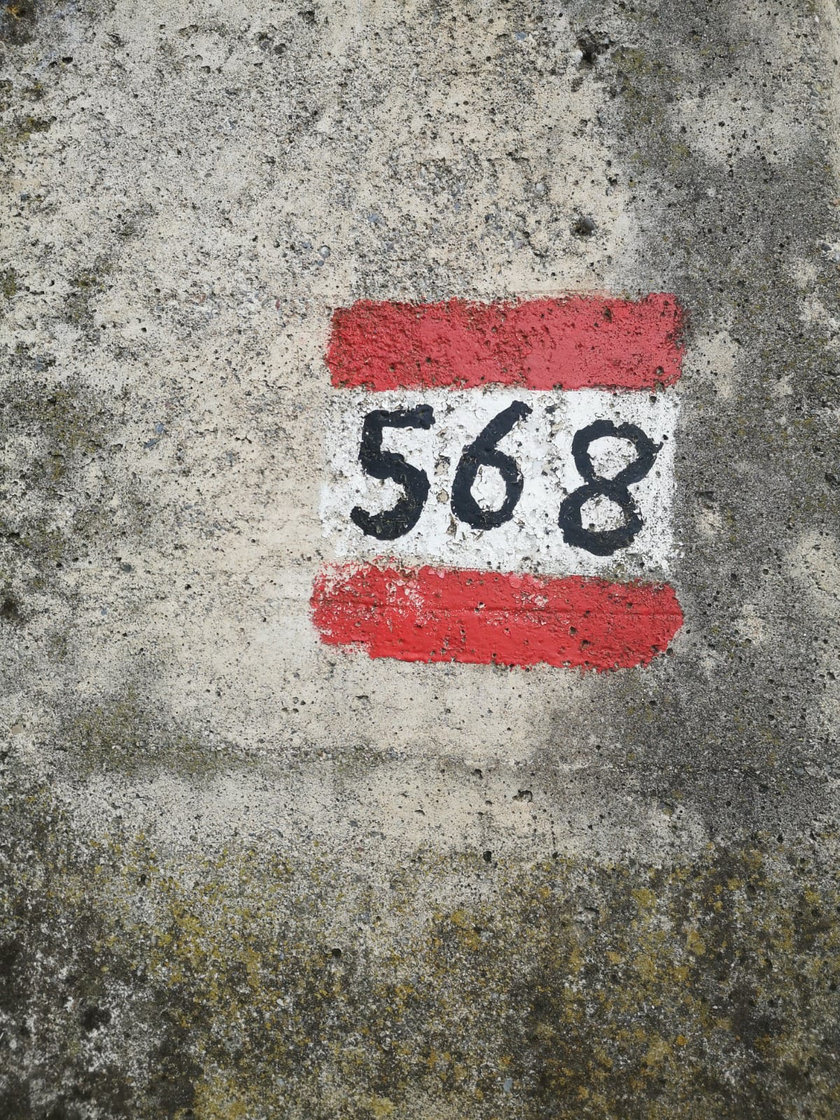
Monte Creò - Trail number:
568/701


