Trekking in the Piramidi di Zone Nature Reserve
The reserve / das Naturschutzgebiet
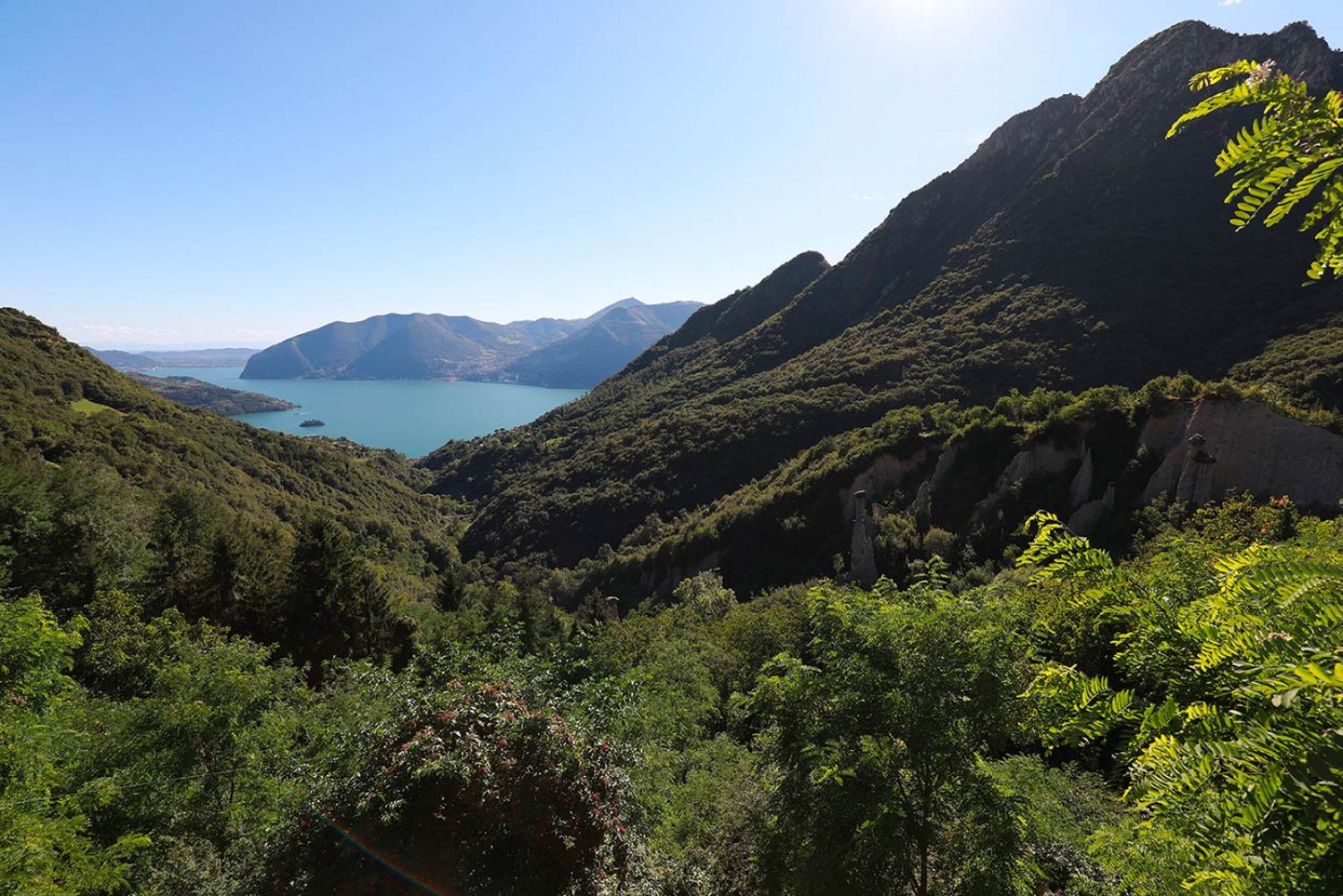
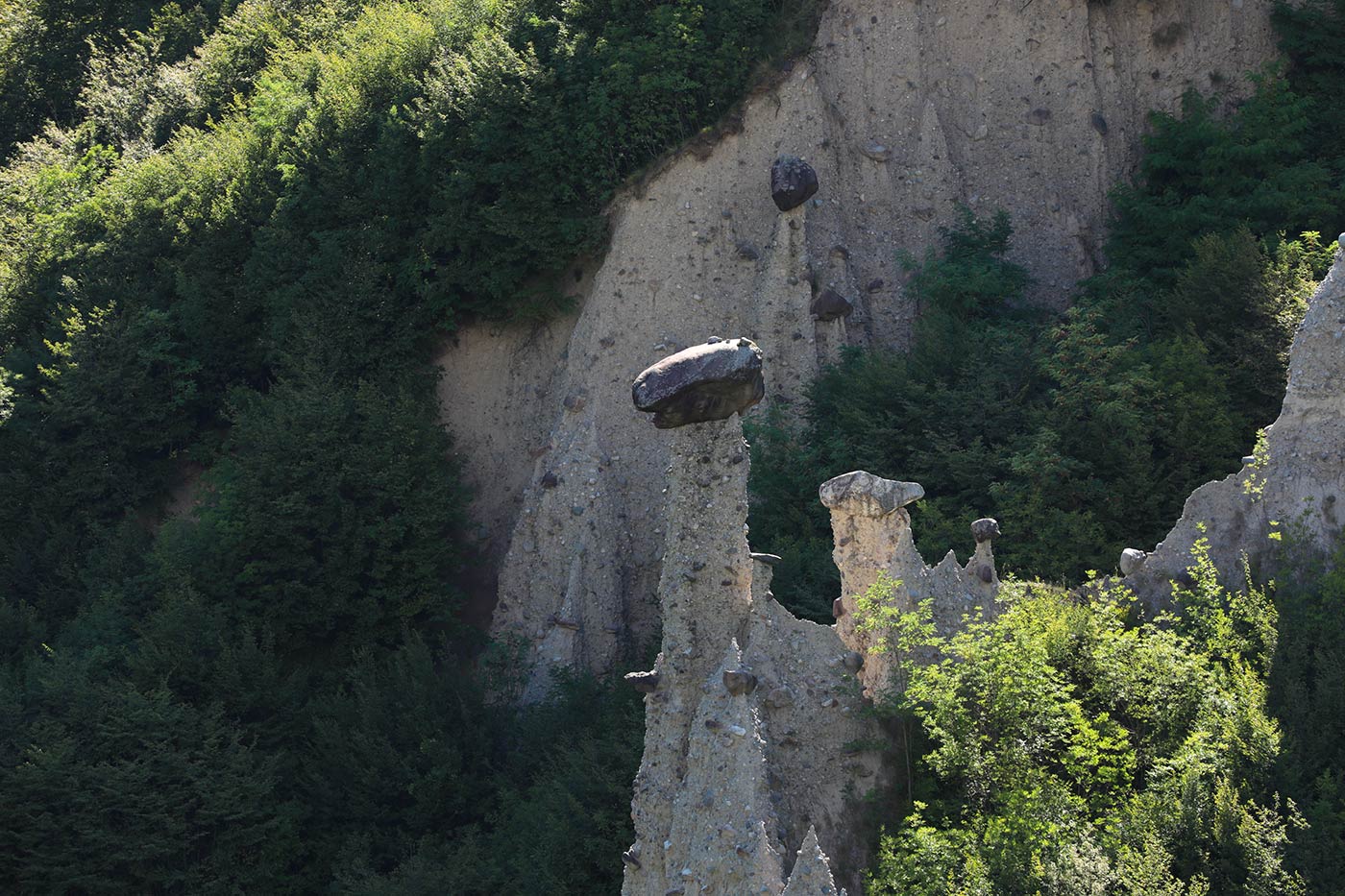
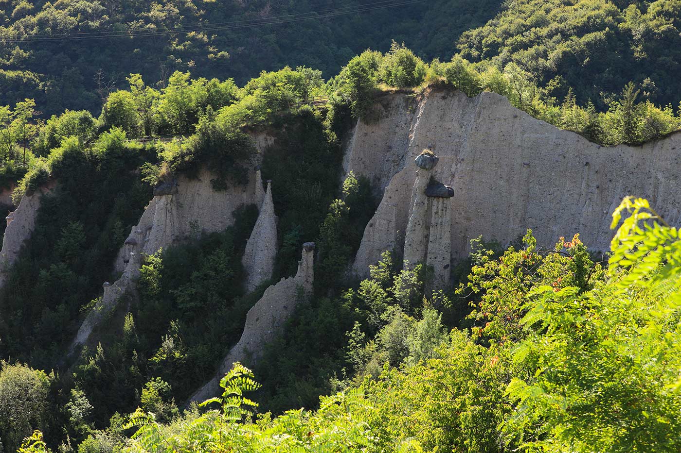
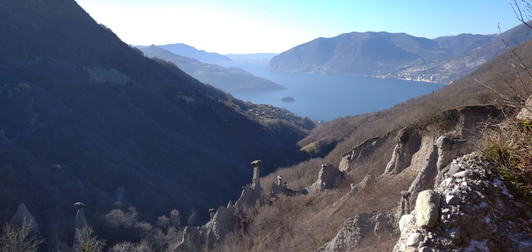
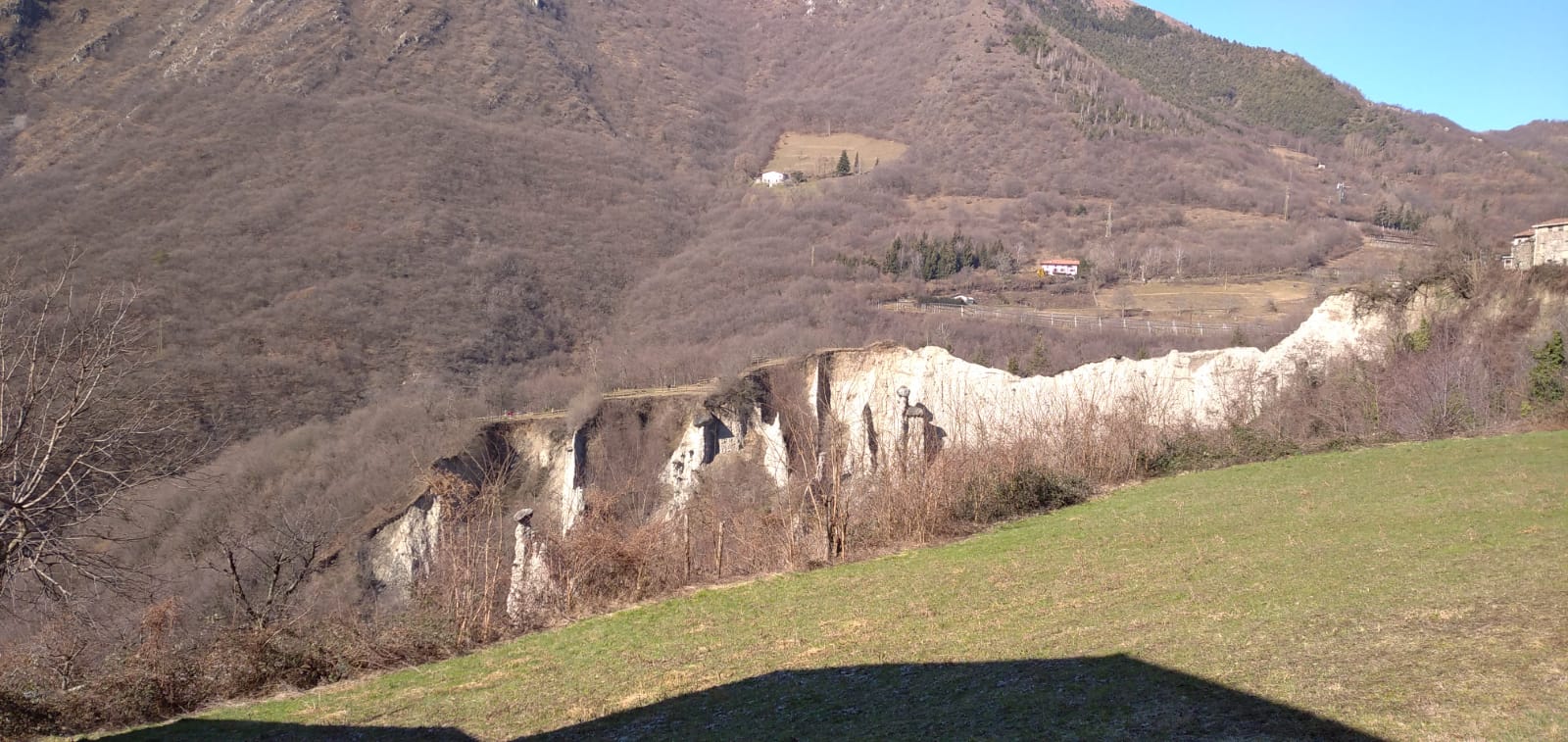
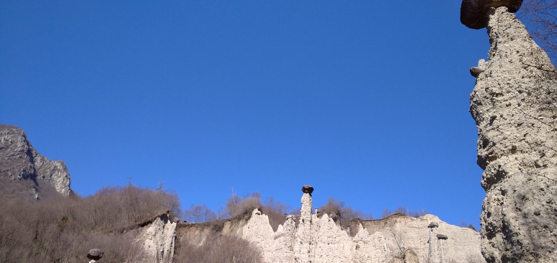
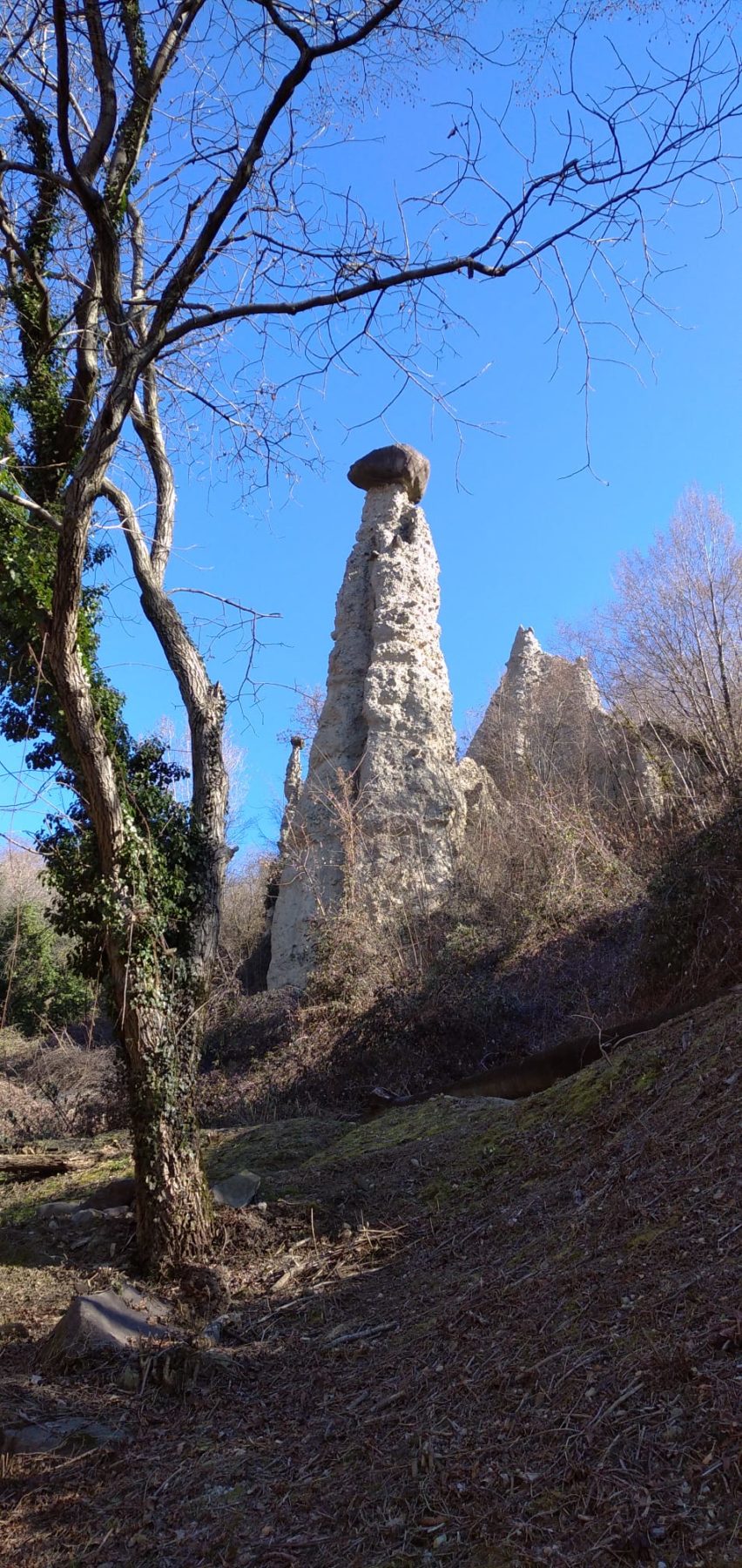
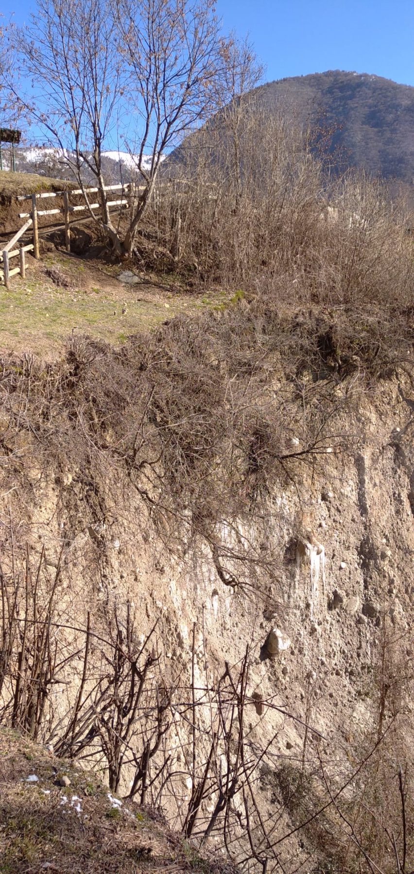
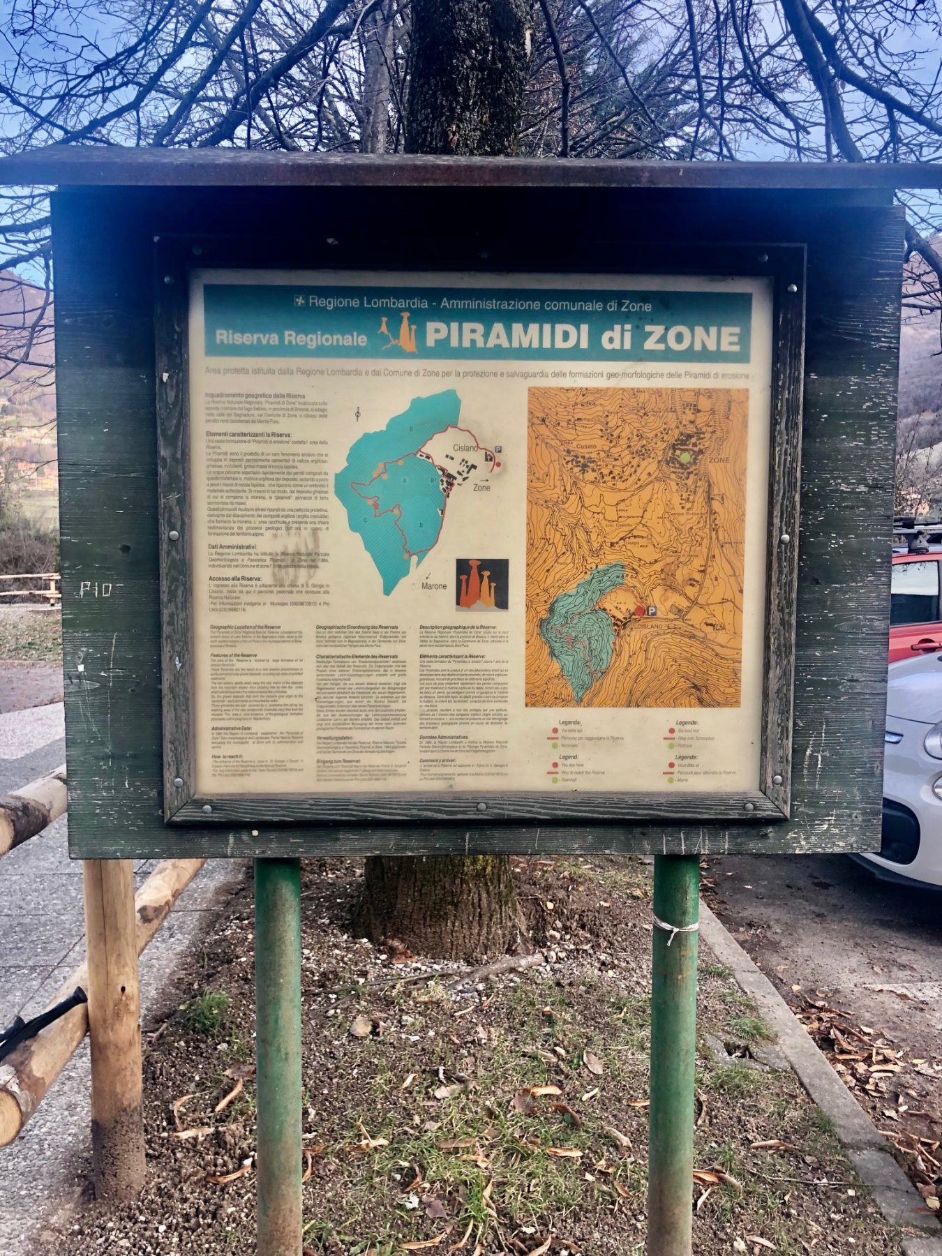
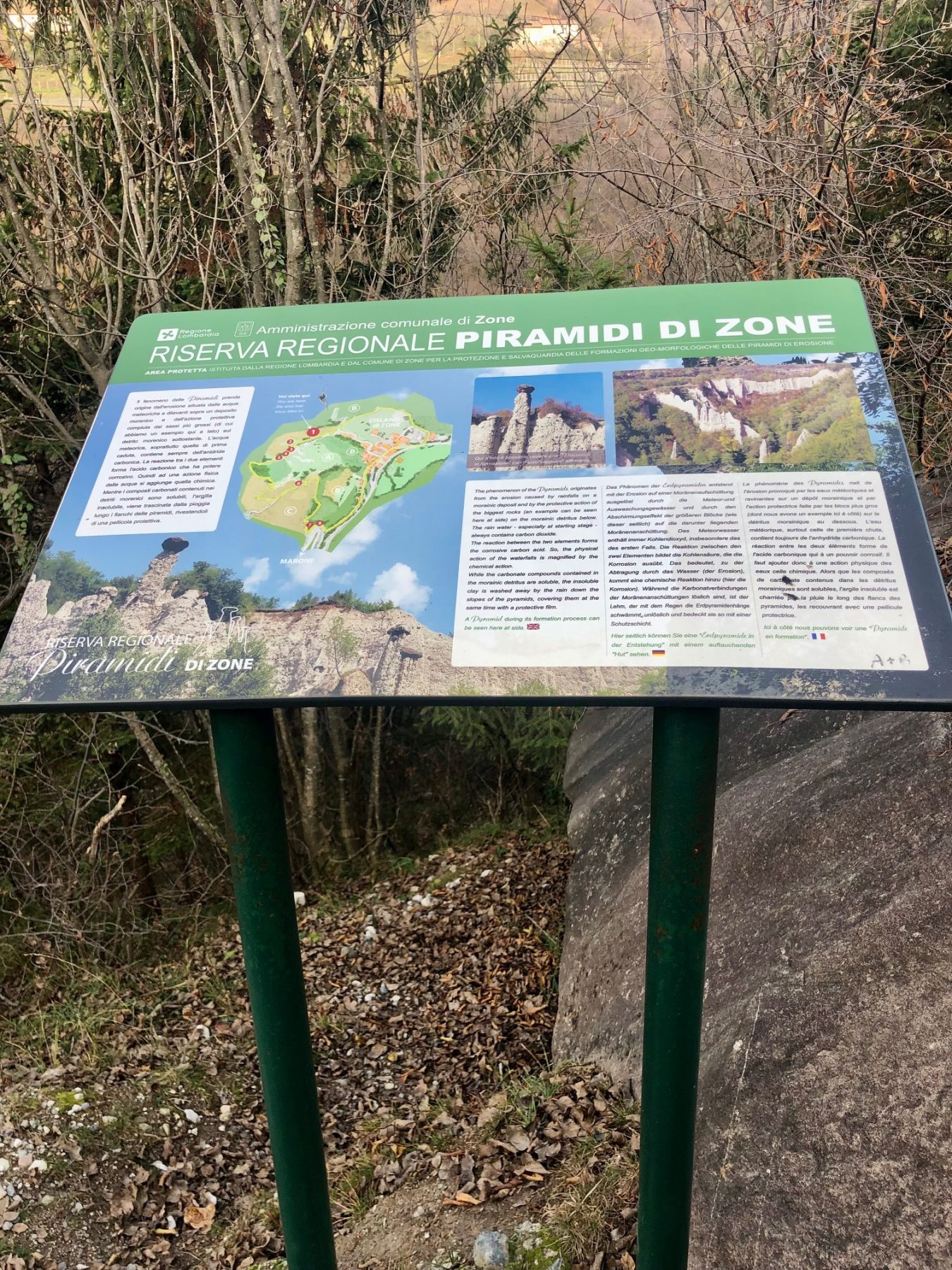
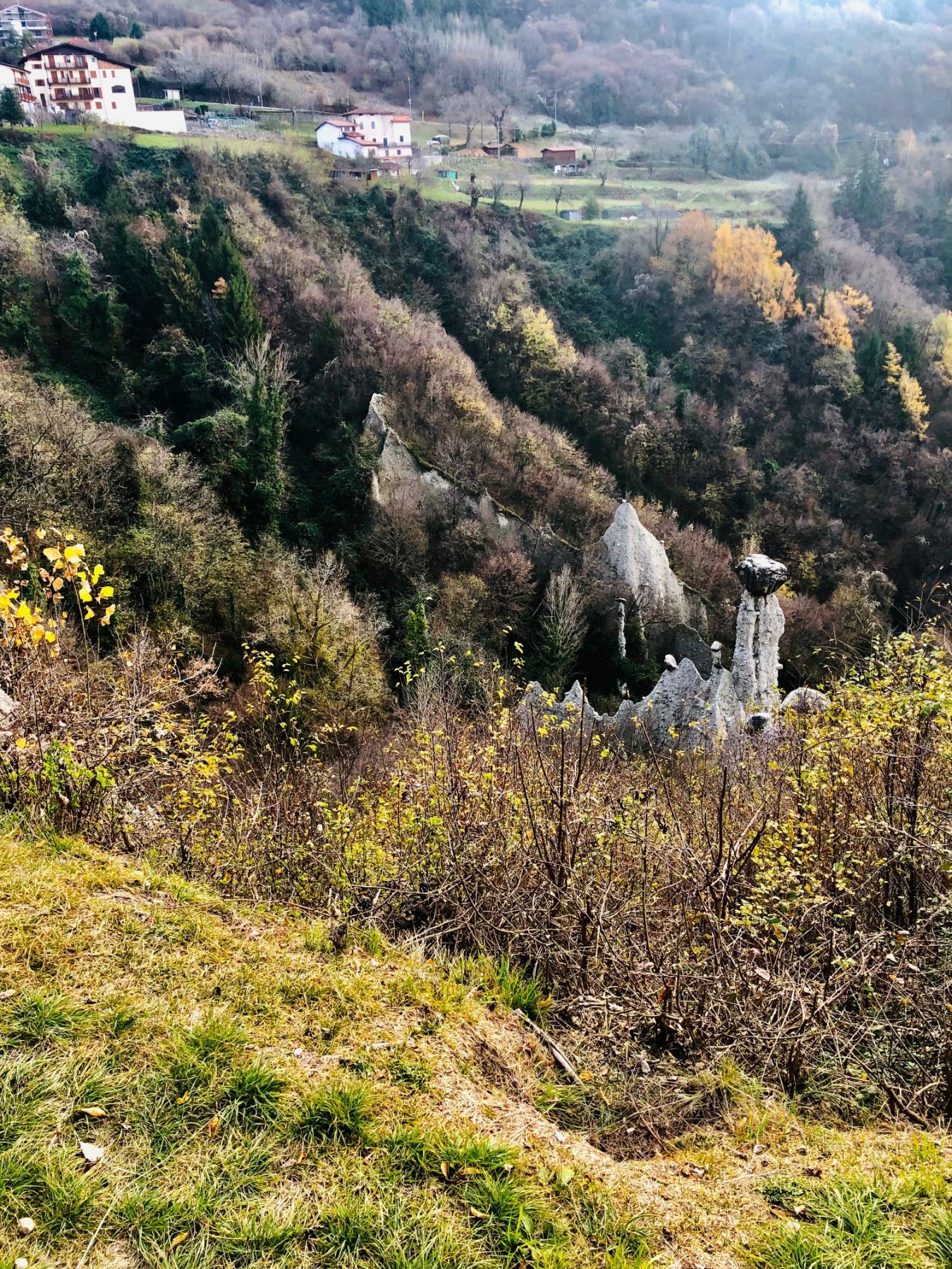
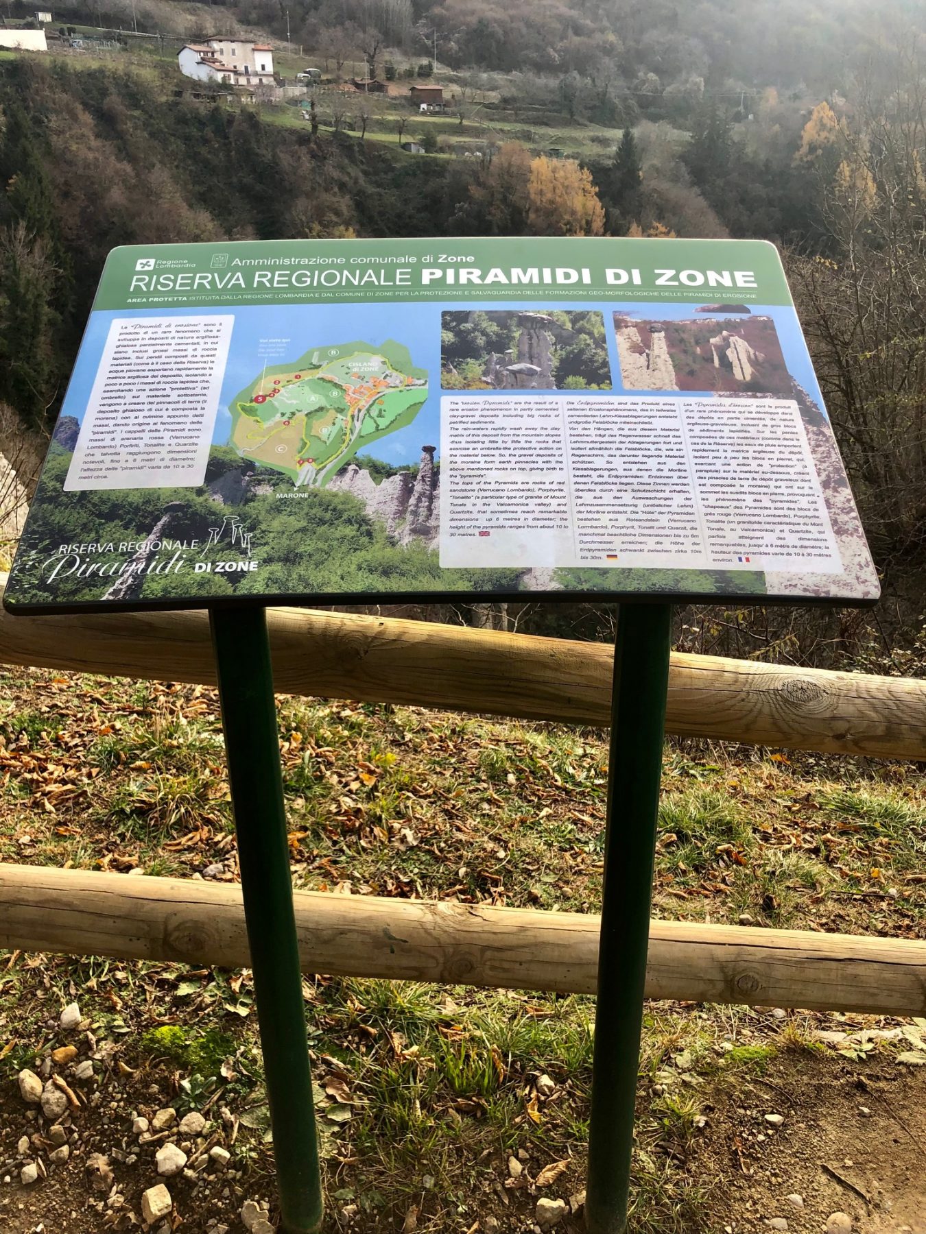
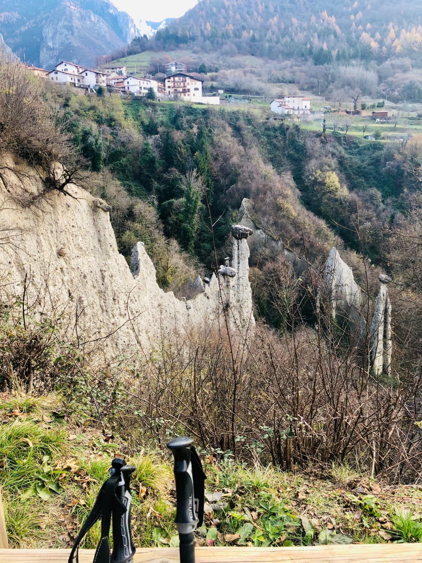
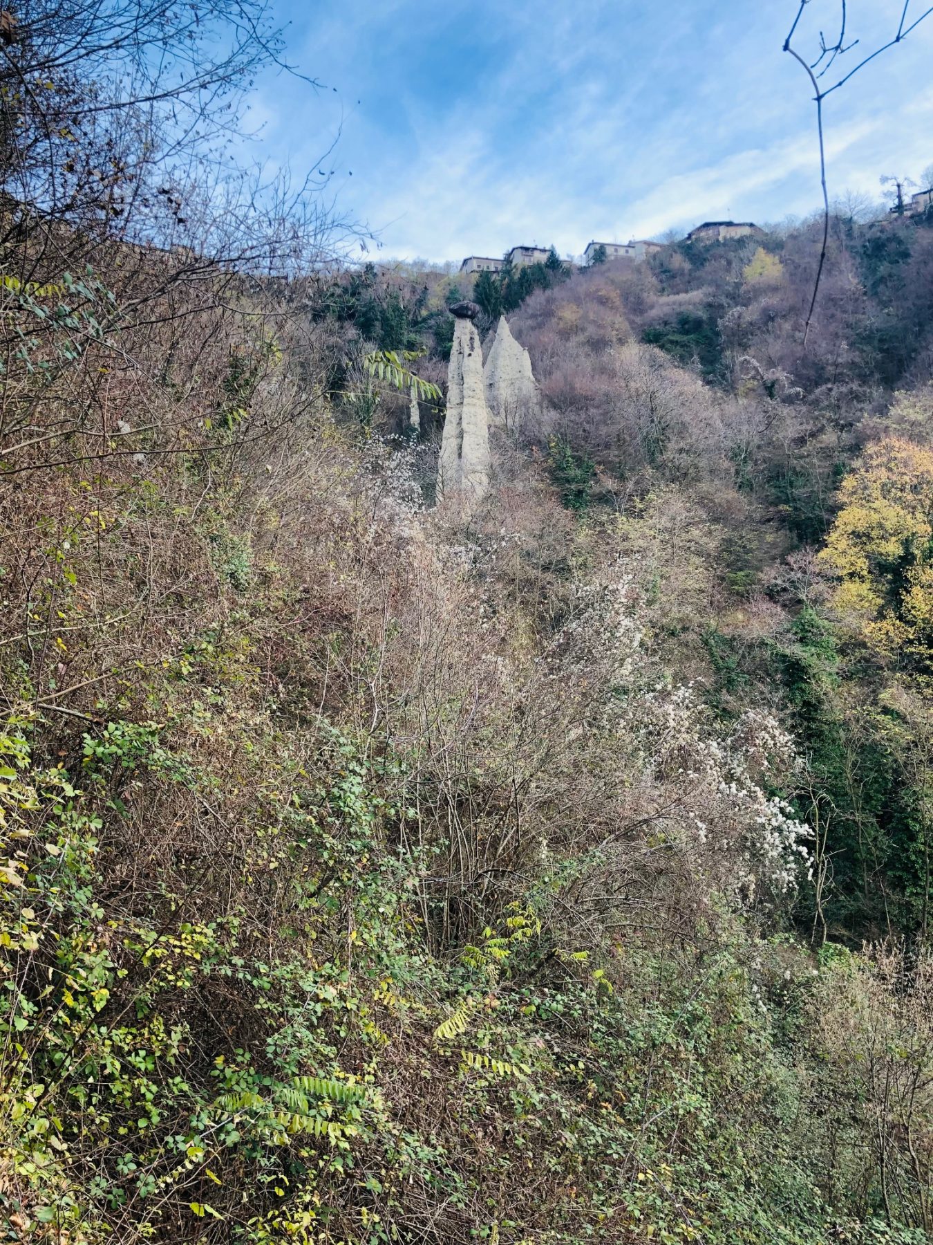
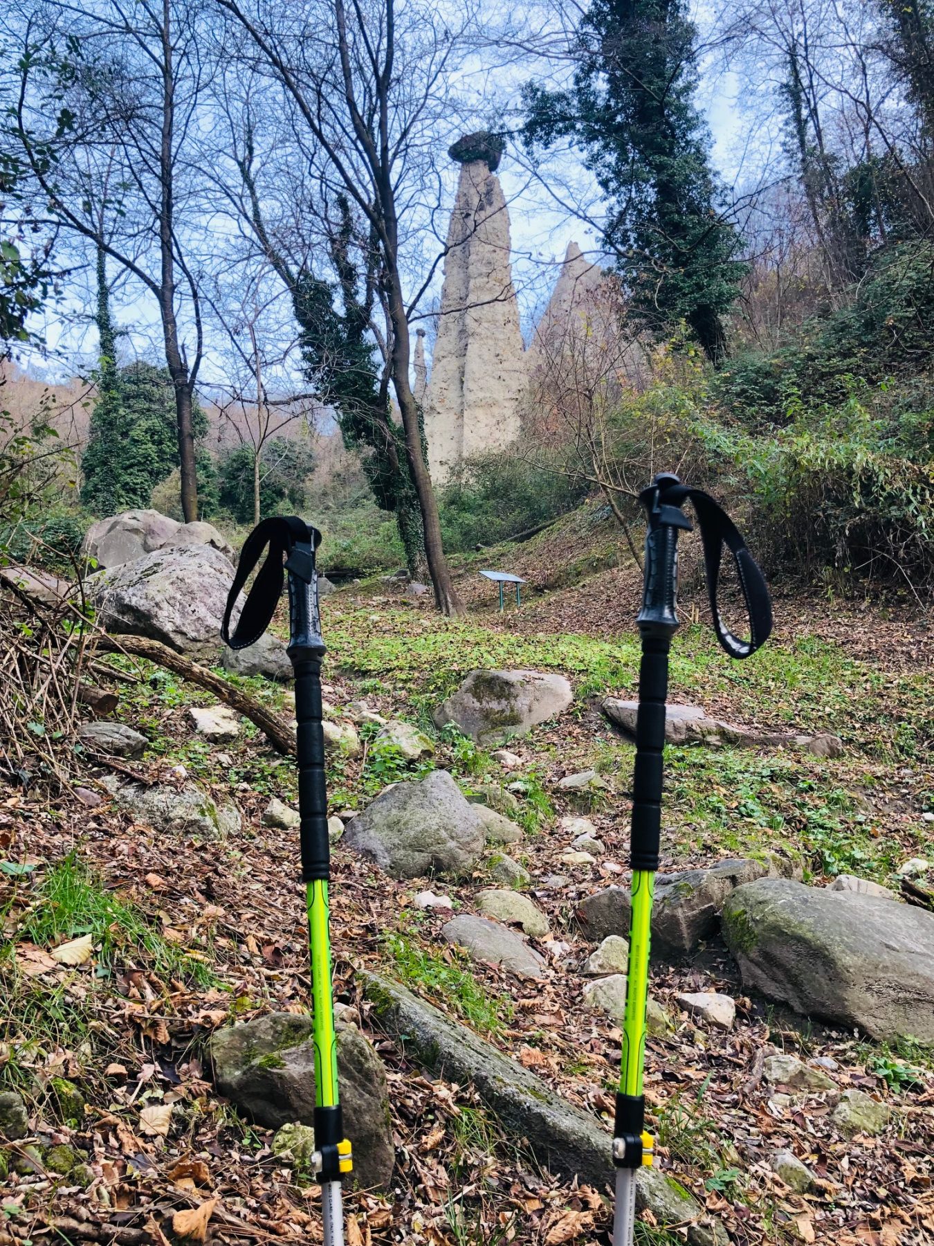
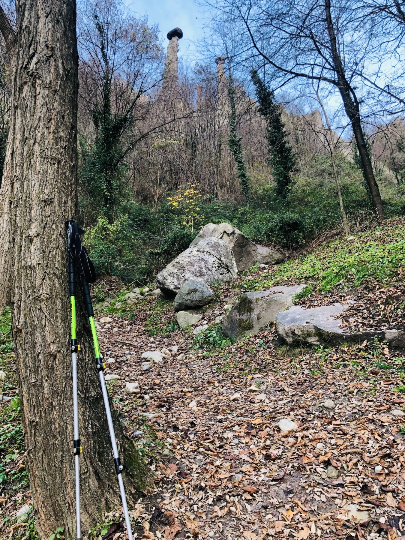
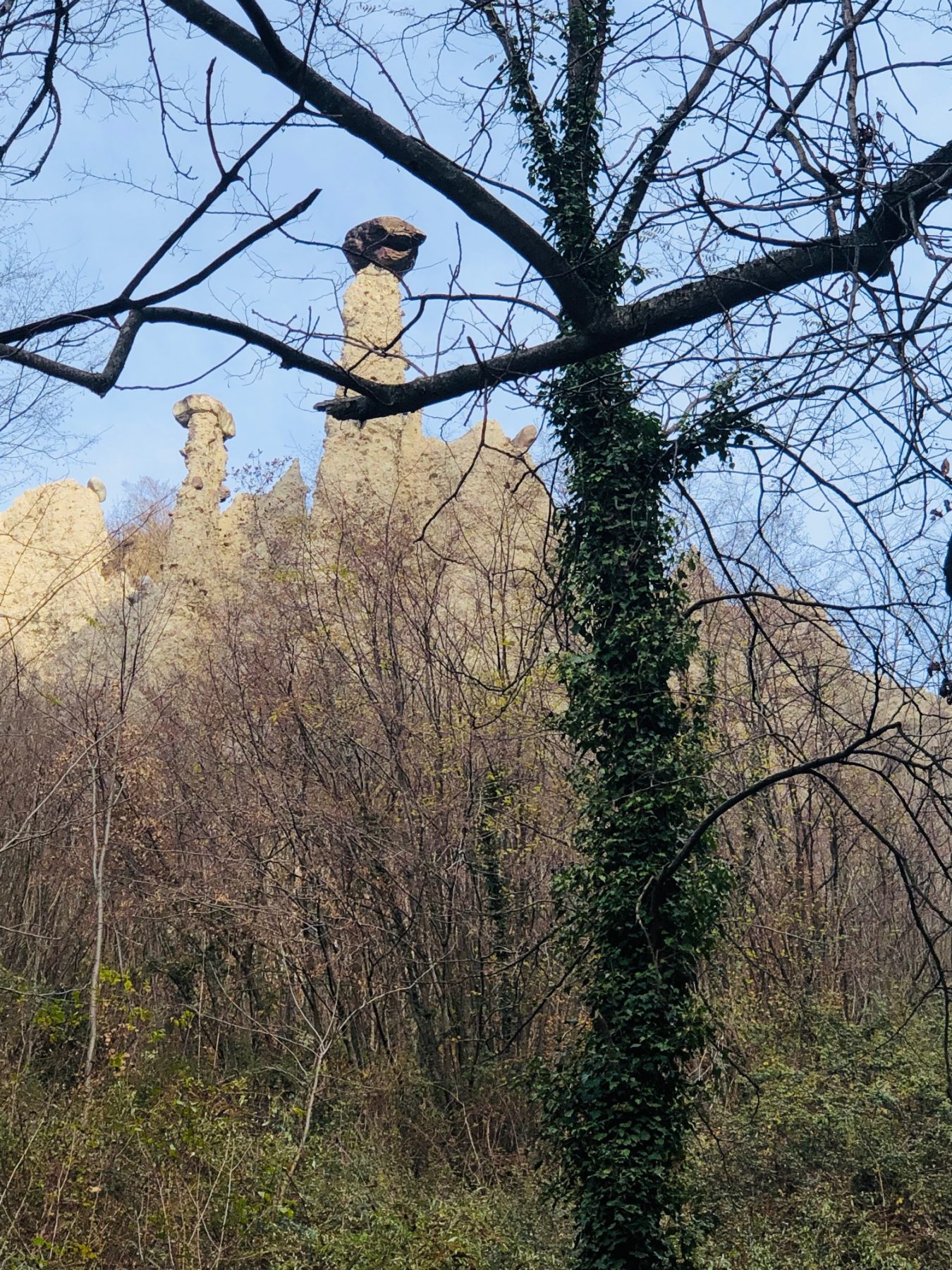
The Reserve, which was established in 1984, takes its name from the particular shape that the morainic deposit of sand, boulders and pebbles has acquired over the centuries, transforming itself into a tongue of rock up to 30 meters high, with large masses lying on their top to act as protective shields. To increase this protective action, there is a film made up of insoluble clay around the earth pyramid, which is carried by the water along the sides of the structure. The erosion process, produced by atmospheric agents, is continuous and visible within a few decades.
DE – Das 1984 gegründete Naturschutzgebiet hat seinen Namen von der besonderen Form, die die morainische Ablagerung von Sand, Felsbrocken und Kieselsteinen im Laufe der Jahrhunderte angenommen hat und die sich in eine bis zu 30 Meter hohe Felszunge verwandelt, auf deren Oberseite große Massen liegen, um als Schutzschilde zu wirken. Um diese Schutzwirkung zu erhöhen, befindet sich um die Erdpyramide ein Film aus unlöslichem Ton, der vom Wasser entlang der Seiten der Struktur getragen wird. Der durch atmosphärische Einflüsse verursachte Erosionsprozess ist innerhalb weniger Jahrzehnte kontinuierlich und sichtbar.
The trail / der Weg
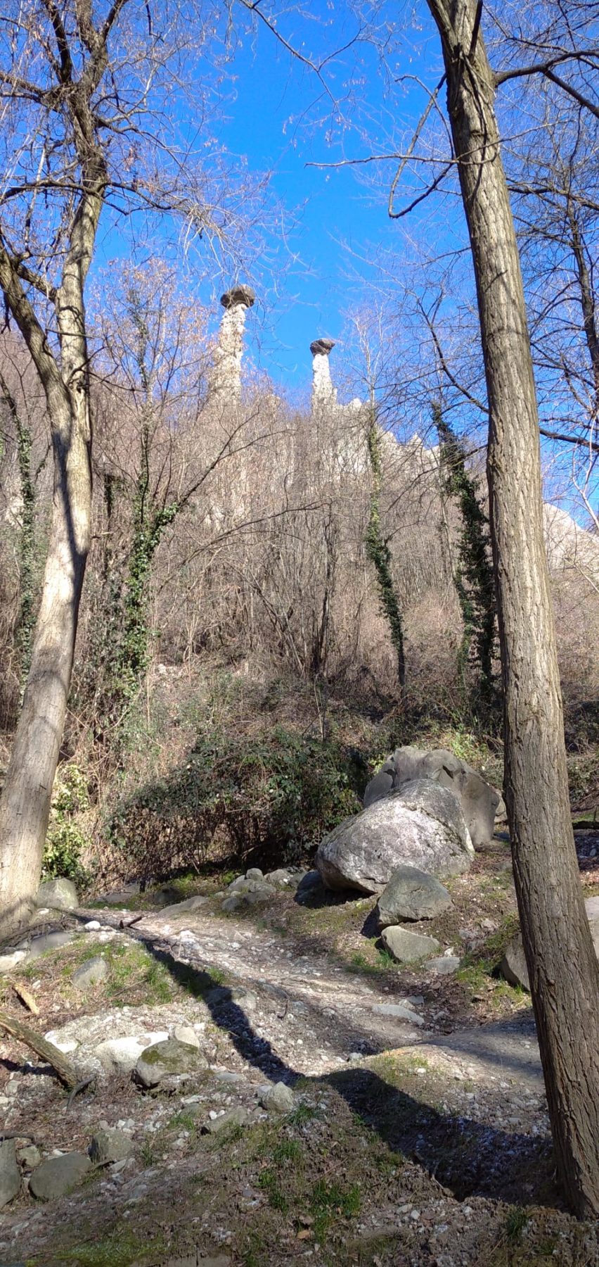
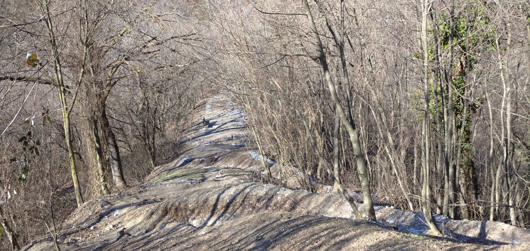
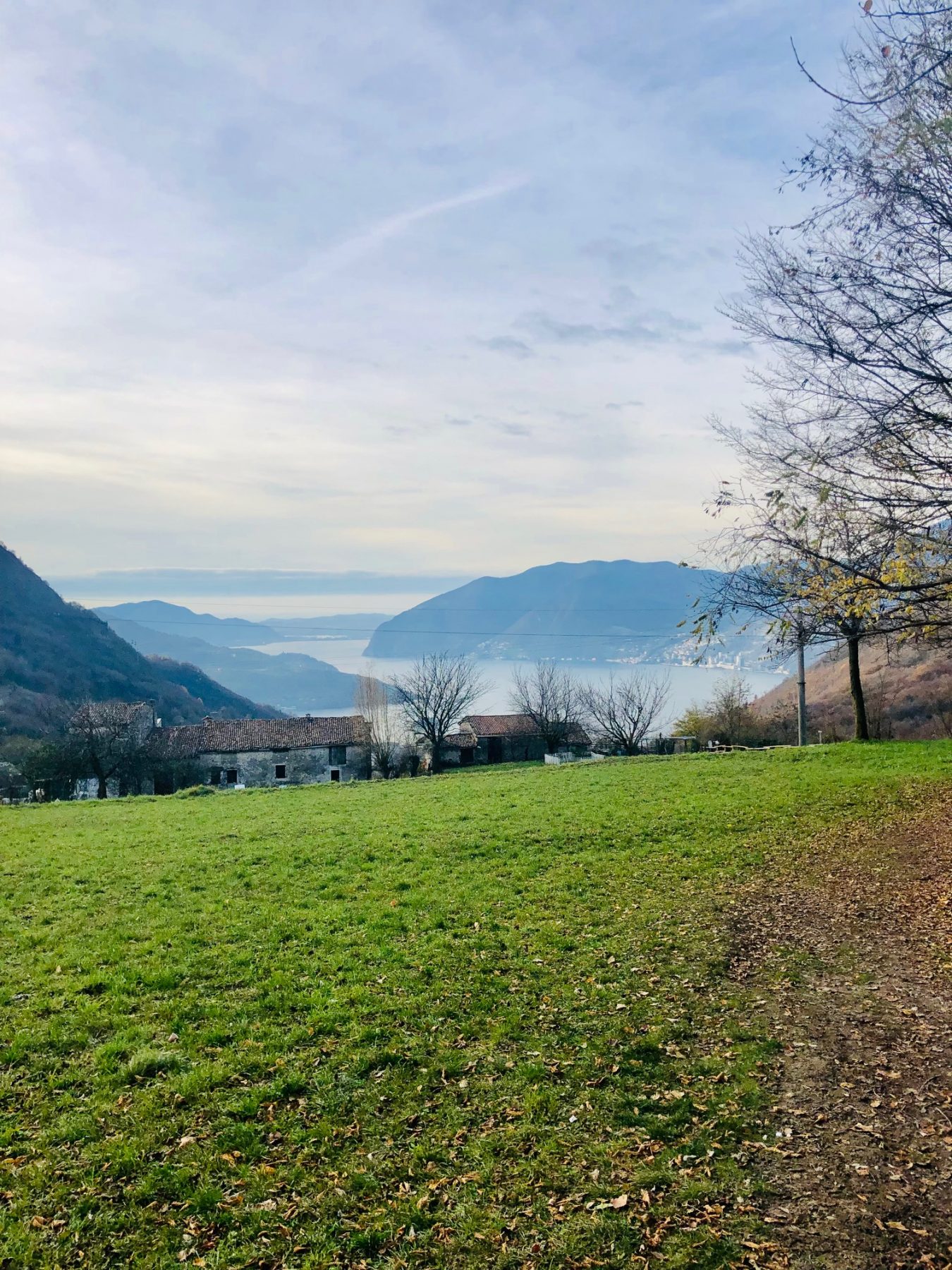
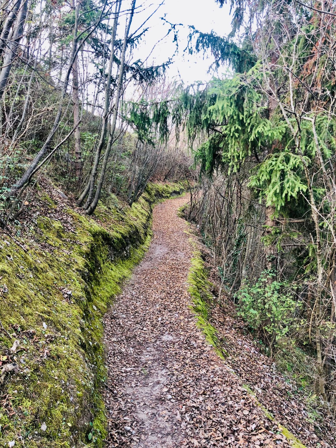
Inside the Reserve, at a height between 400 and 600 meters above sea level, there is a ring route of medium difficulty, which allows you to closely admire the pyramids and erratic boulders which, presumably, in millions of years will become earth pyramids.
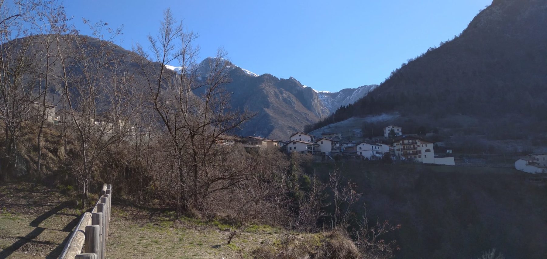
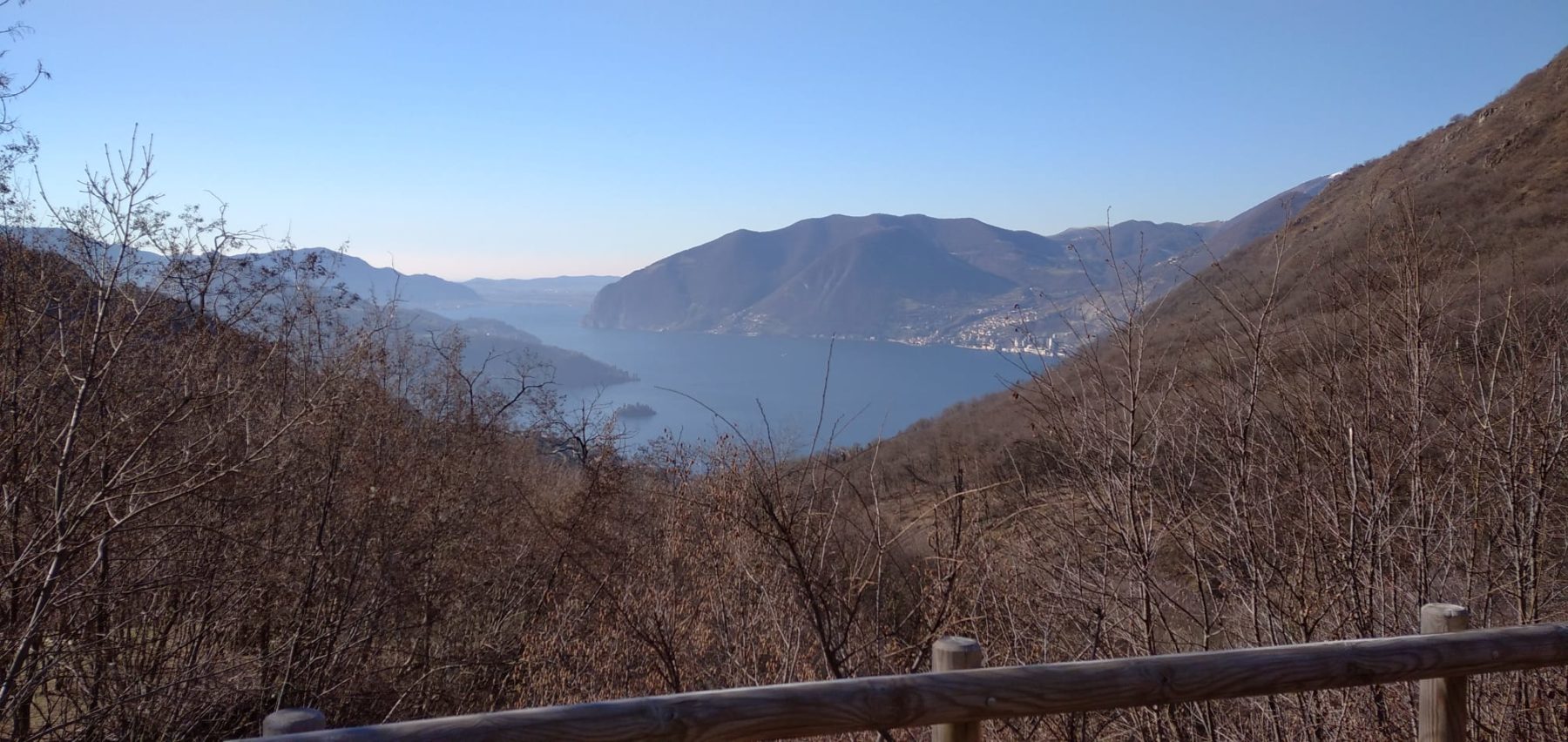
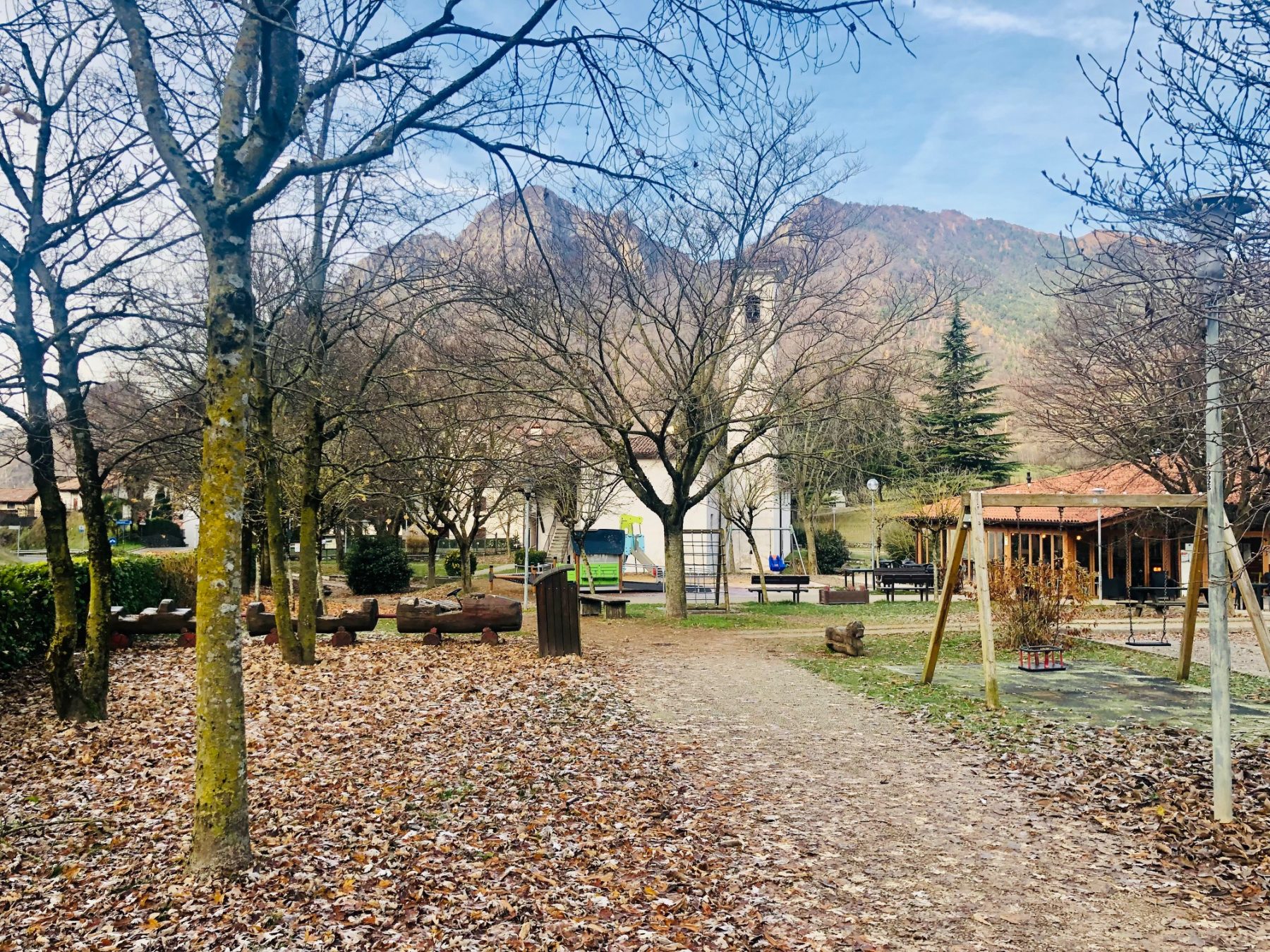
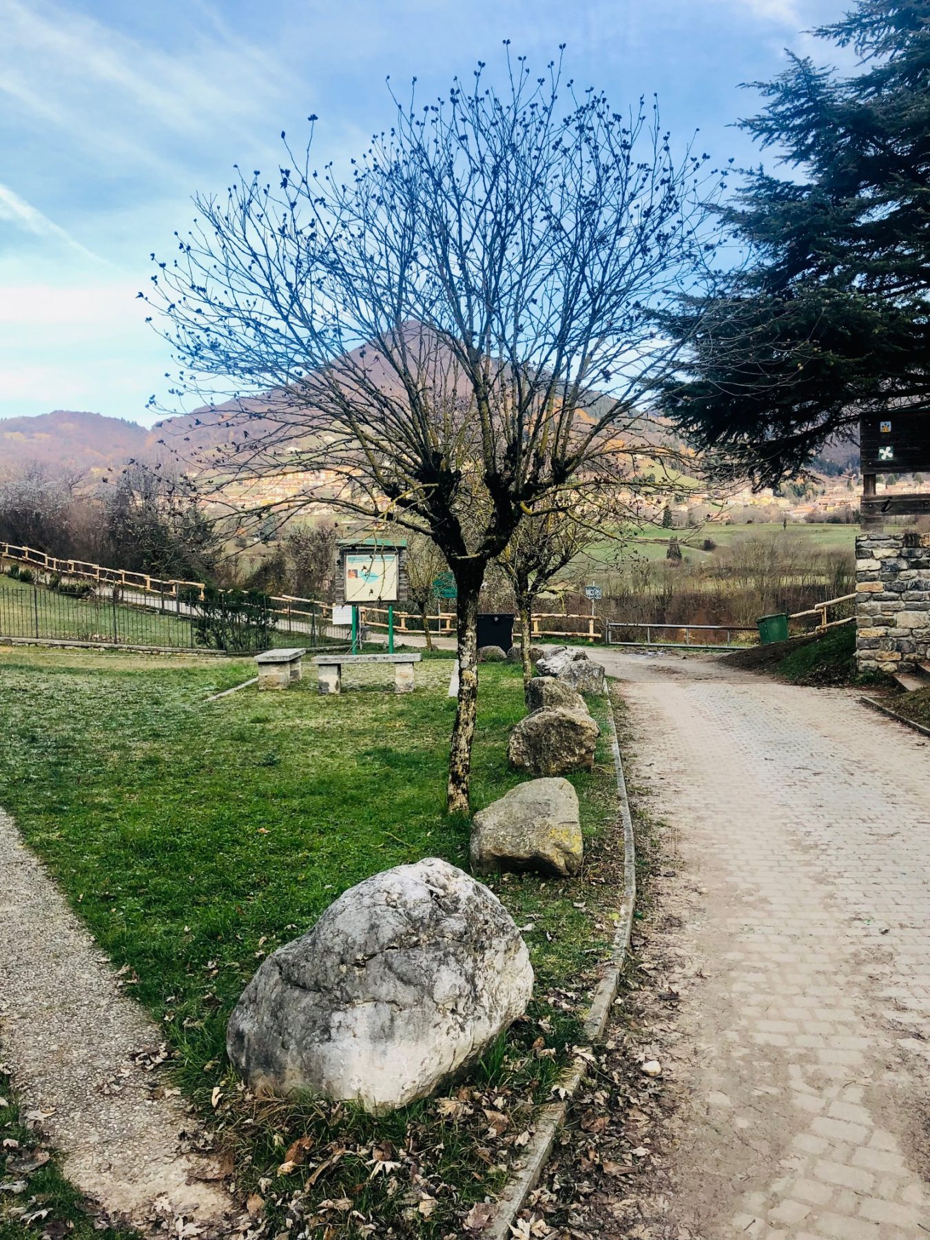
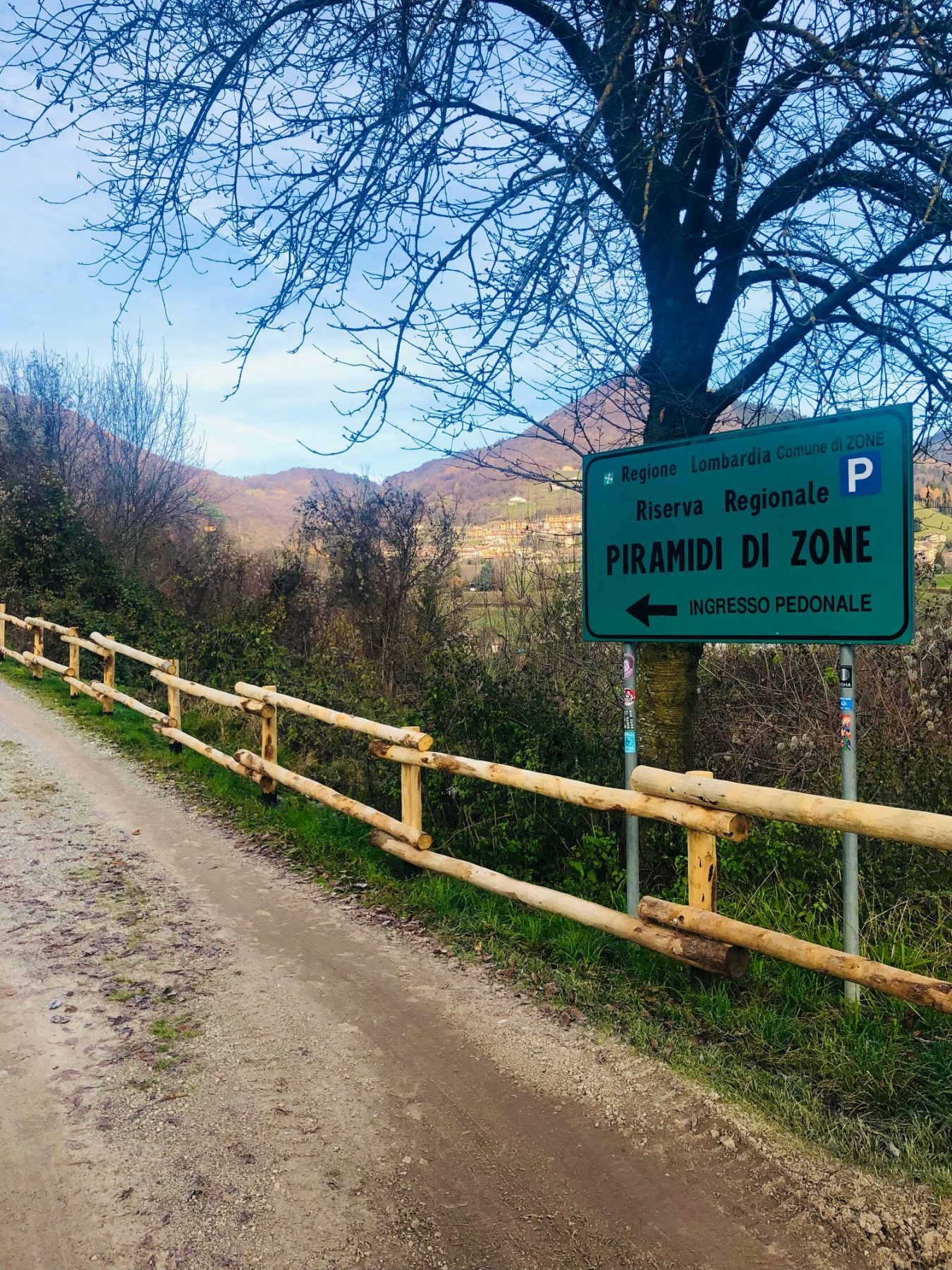
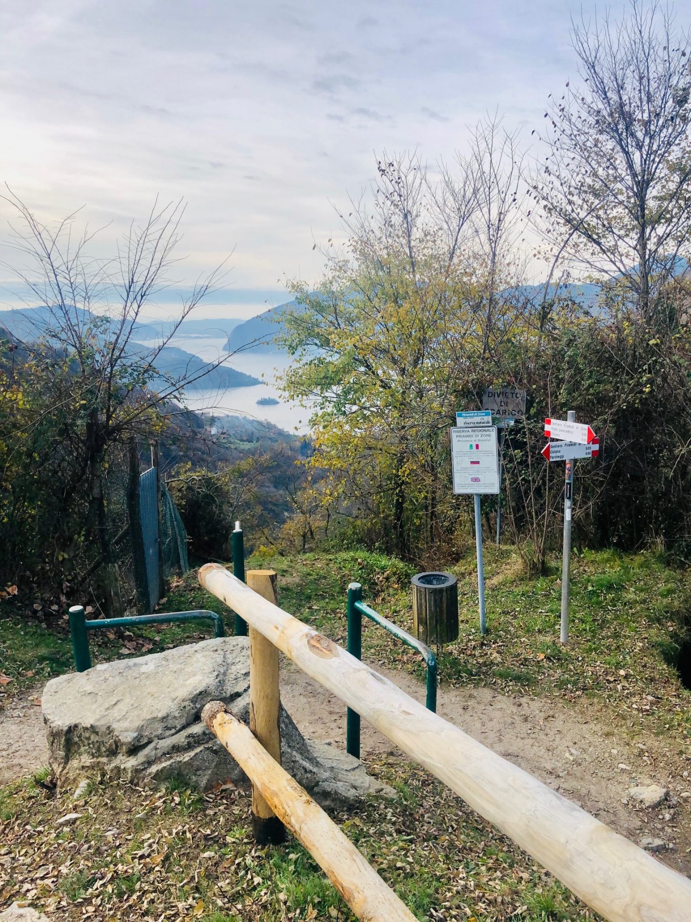
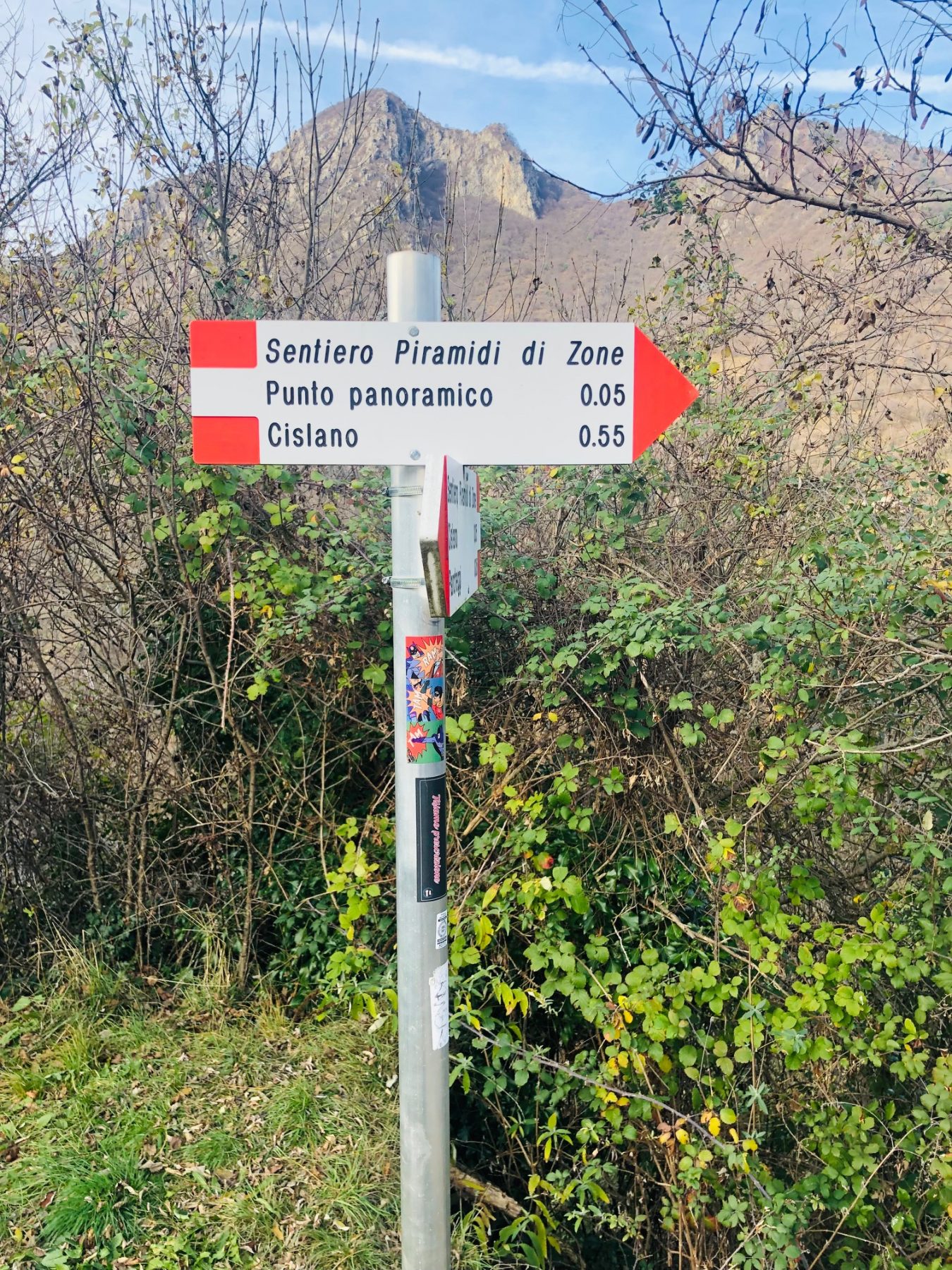
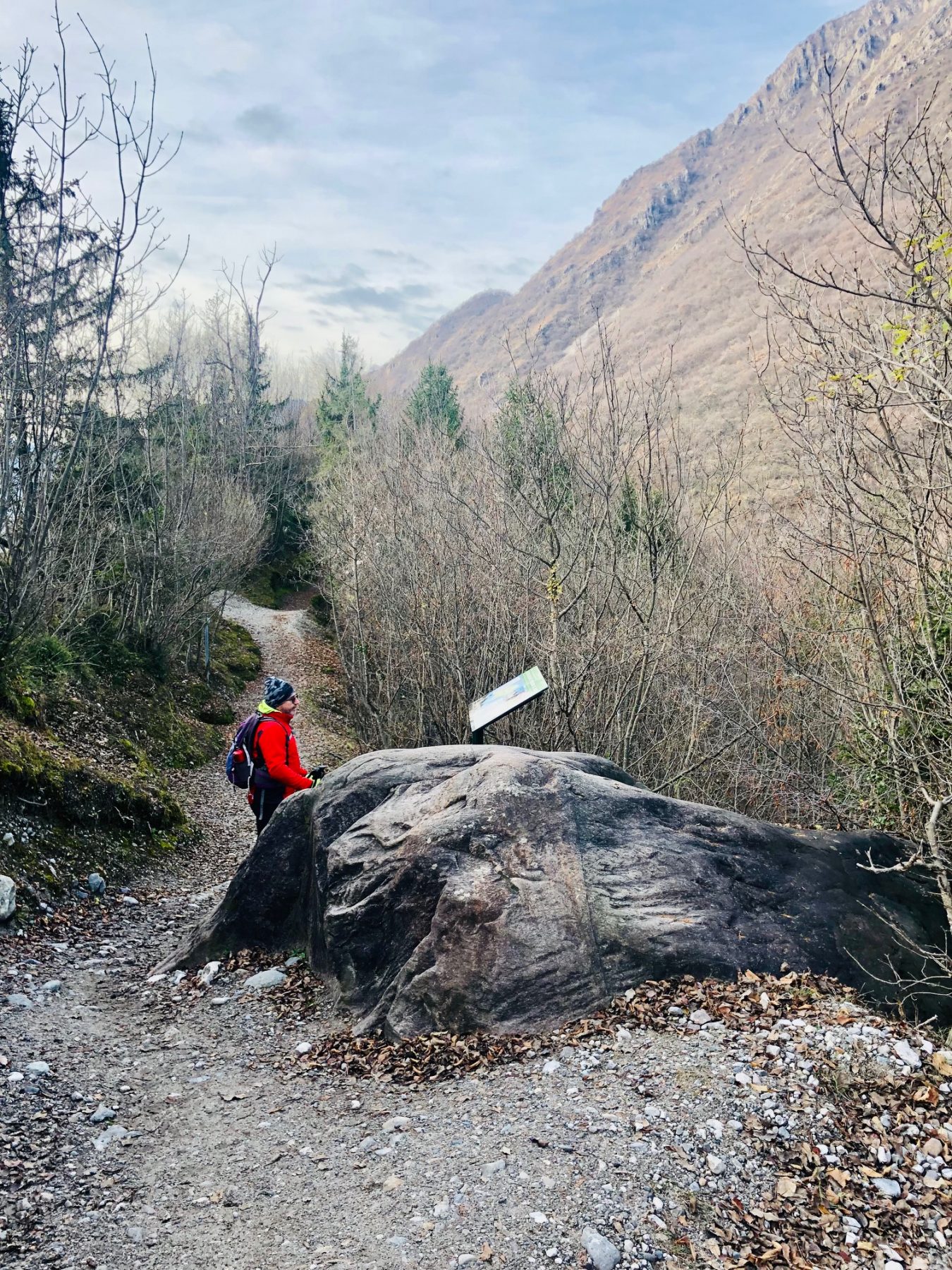
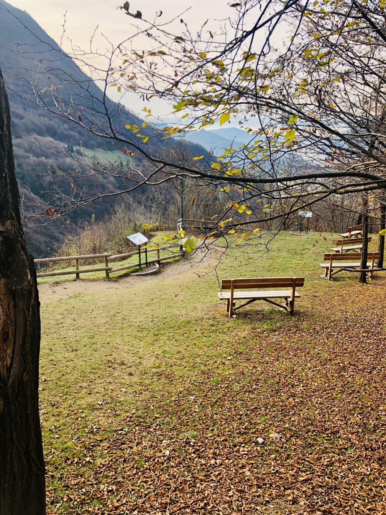
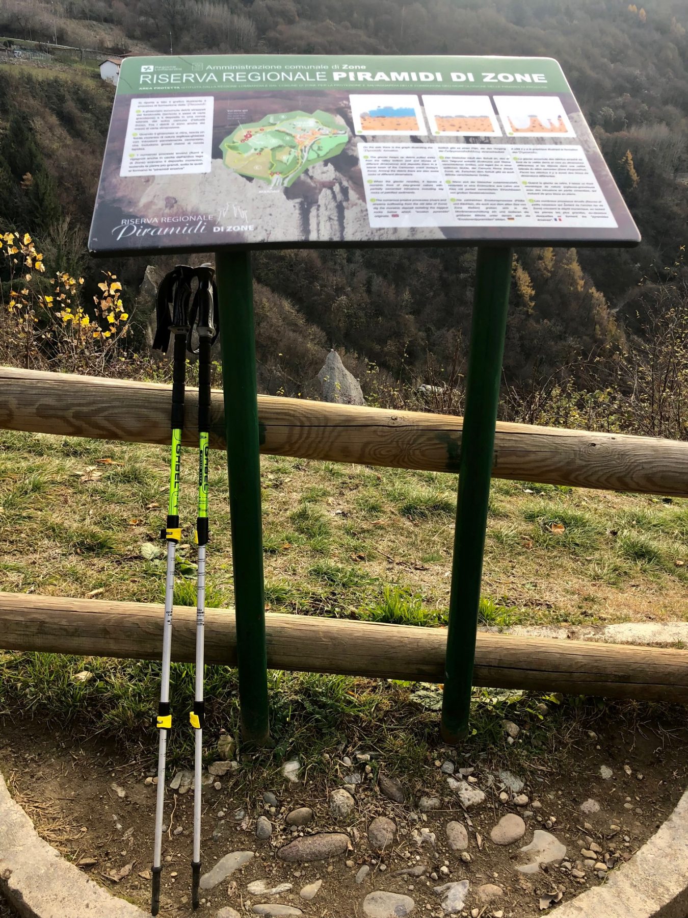
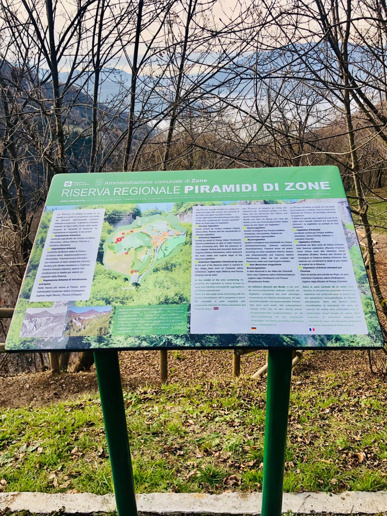
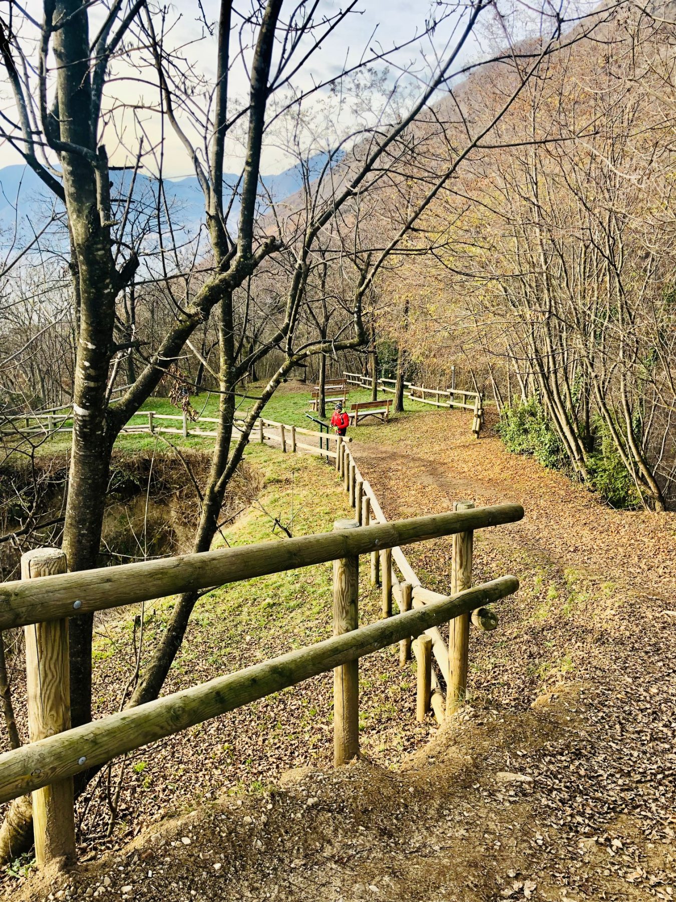
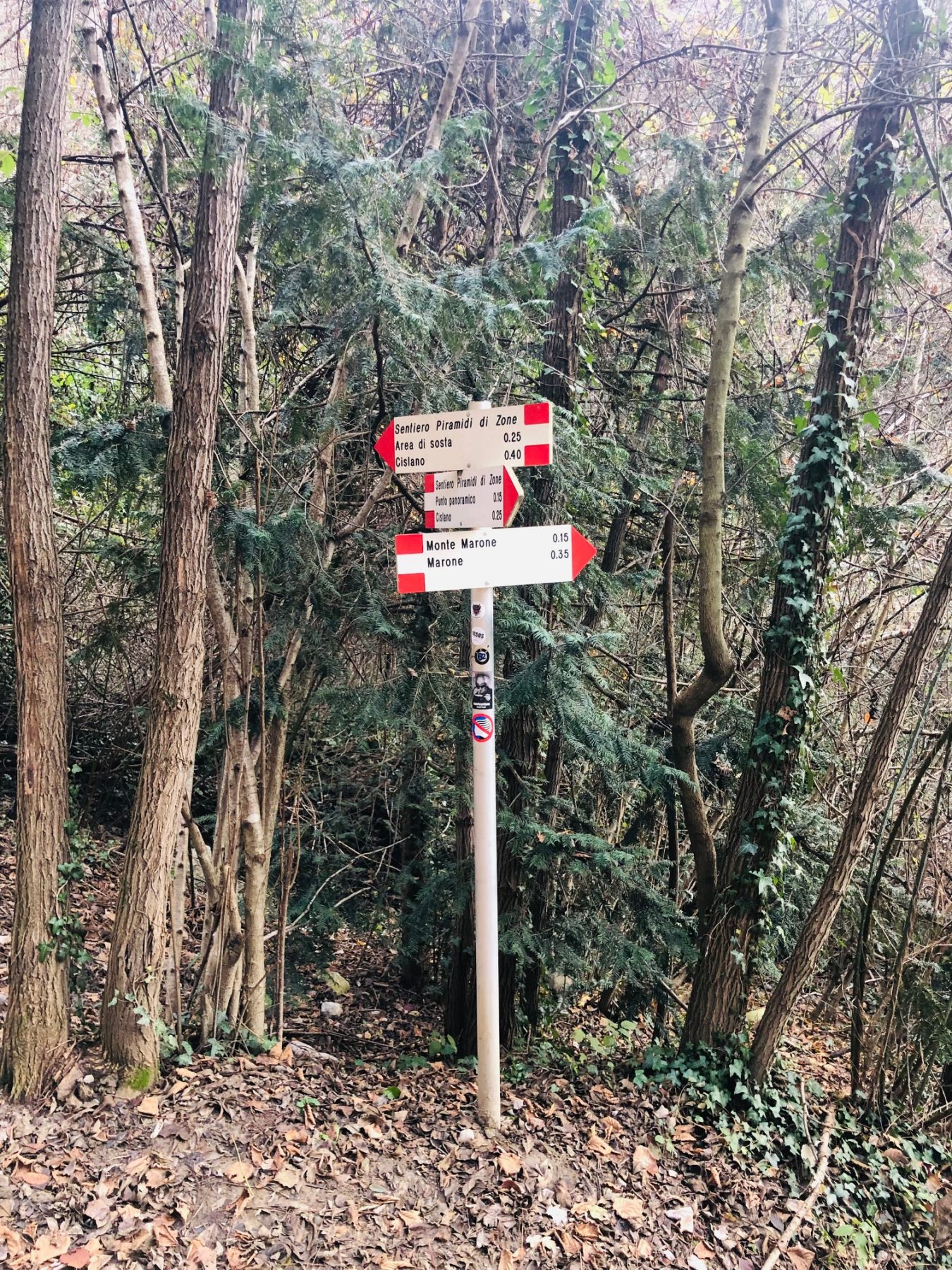
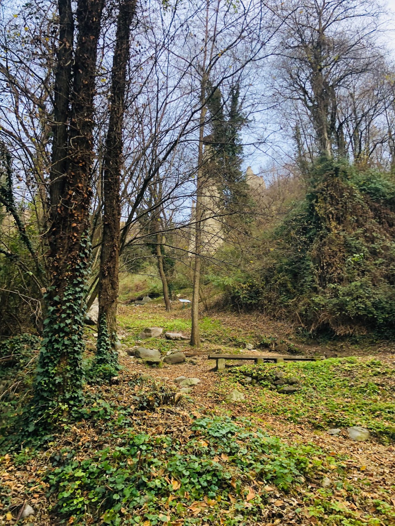
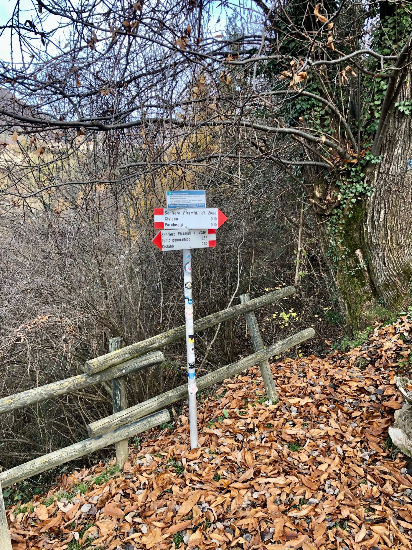
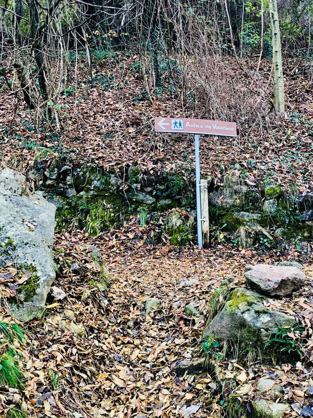
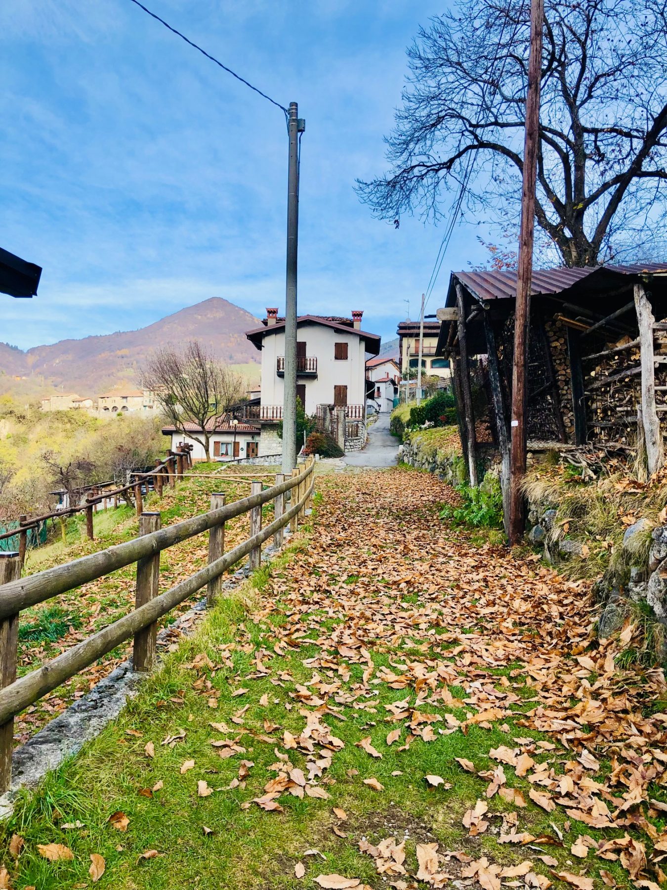
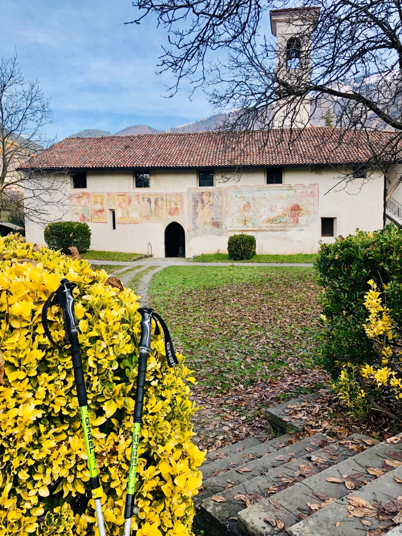
The Church of San Giorgio in Cislano is the starting point of the itinerary. Park the car and pass the small children playground in the direction of the church, take the path on the right, at the beginning of which there is a green panel with the words “Pedestrian entrance to the Regional Reserve of the Pyramids”. After a few minutes you will reach the actual entrance, where a sign indicates to continue descending the path on the right. Soon you will reach the first erratic boulder with its explanatory panel and then the first of several viewpoints on the pyramids, which you will meet along the path for now always downhill. When you reach the crossroads “Monte Marone” on the right and “Sentiero delle Piramidi” on the left, you naturally turn left and the path will now be uphill until the end. Along the way there are three other viewpoints, the last of which is located next to the provincial road that leads to Zone, where there is also a fountain. Continue along the path on the left, which soon crosses and joins the Antica Strada Valeriana. Turn left again and follow it to the small town of Cislano and then to the arrival point.
DE – Innerhalb des Naturschutzgebiets, auf einer Höhe zwischen 400 und 600 Metern über dem Meeresspiegel, gibt es eine Ringroute mit mittlerem Schwierigkeitsgrad, die es ermöglicht, die Pyramiden und Findlinge, die vermutlich in Millionen von Jahren zu Erdpyramiden werden, aus der Nähe zu bewundern .
Ausgangspunkt der Ringroute ist die Kirche San Giorgio in Cislano. Man parkt das Auto und geht den kleinen Spielplatz in Richtung Kirche vorbei; man nimmt den Weg rechts, an dessen Beginn eine grüne Tafel mit der Aufschrift “Fußgängereingang zum Naturschutzgebiet der Pyramiden” steht. Nach wenigen Minuten erreicht man den eigentlichen Eingang, wo ein Schild rechts den Abstieg des Weges anweist. Bald erreicht man den ersten Findling mit seiner Erklärungstafel und dann den ersten von mehreren Aussichtspunkten auf die Pyramiden, die sich entlang des Weges vorerst immer bergab treffen. An der Kreuzung „Monte Marone“ rechts und „Sentiero delle Piramidi“ links biegt man natürlich links ab und der Weg führt nun bis zum Ende bergauf. Unterwegs gibt es drei weitere Aussichtspunkte, von denen sich der letzte neben der Provinzstraße befindet, die nach Zone führt, wo sich auch ein Brunnen befindet. Man folgt dem Weg auf der linken Seite, der bald die Antica Strada Valeriana kreuzt und anschließt. Man biegt erneut links ab und folgt dieser bis zum Ortsteil Cislano und dann bis zum Ausgangspunkt.
How to arrive and where to park / Anreise und Parkplätze
On the coastal road ex SP510, once you reach Marone, turn in the direction of Zone.
On the provincial road 510 Brescia / Valle Camonica, exit Colpiano, turn right towards Zone.
Parking space at the Reserve’s entrance, in via Sebino, località Cislano.
DE – Auf der Küstenstraße SP510, sobald man Marone erreicht hat, biegt man in Richtung Zone.
Auf der Provinzstraße 510 Brescia / Valle Camonica nimmt man die Ausfahrt Colpiano und biegt man rechts in Richtung Zone ab.
Parkplatz am Eingang des Naturschutzgebiets in via Sebino, Cislano.
Useful info / nützliche Info
Entrance to the Zone Pyramids Nature Reserve costs 2 euros for all visitors aged 7 and over.
Tickets can be purchased at “Il Chiosco Food & Drink da Fabietto” or at the “Le Piramidi” bar-restaurant.
Download the regulation here.
Avoid the trail in periods of rain and snow that make the path rather dangerous and also during the hottest hours in the Summer.
Not recommended for families with very young children and elderly people not used to walking.
Near the Church of San Giorgio there are a large parking space, an Infopoint, a café and a garden with games for children.
ACHTUNG!
Wir weisen darauf hin, dass der Besucherweg im Pyramiden-Regionalpark aufgrund von Renovierungs- und Sicherungsarbeiten vom 20. November 2023 bis zum 15. Januar 2024 dauerhaft und vollständig für den Fußgängerverkehr gesperrt ist.
Weitere Informationen finden Sie in der von der Stadt Zone erlassenen Verordnung Nr. 16-2023, indem Sie HIER klicken.
DE – Der Eintritt in das Naturschutzgebiet Zone Pyramids kostet für alle Besucher ab 7 Jahren 2 Euro.
Tickets können im „Il Chiosco Food & Drink da Fabietto“ oder im Bar-Restaurant „Le Piramidi“ erworben werden.
Laden Sie die Verordnung hier herunter.
Der Weg ist in Perioden von Regen und Schnee zu vermeiden, und auch währen der heißesten Stunden im Sommer.
Nicht empfohlen für Familien mit sehr kleinen Kindern und für ältere Menschen, die an Laufen nicht gewöhnt sind.
In der Nähe der Kirche San Giorgio gibt es einen großen Parkplatz, einen Informationspunkt, ein Café und einen Garten mit Spielen für Kinder.
DETAILS
- Difficulty:
Medium - Duration:
1 h - Distance:
2,5 km - Elevation gain:
+ 160 m - Starting point:
Via Sebino, Zone - Arrival point:
Via Sebino, Zone


