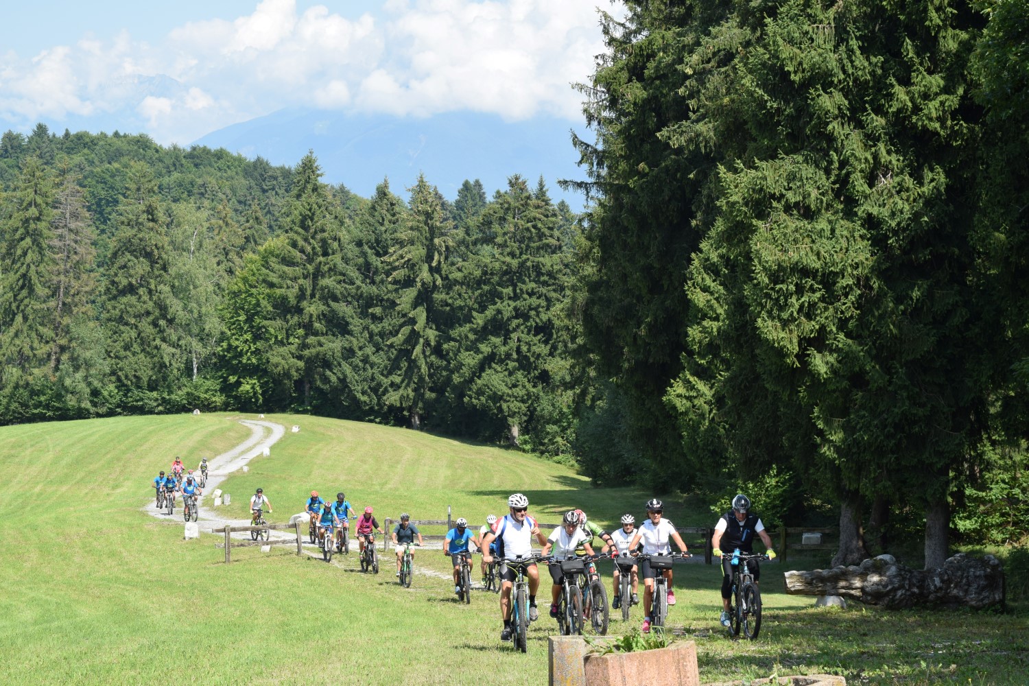
MTB Bossico – red path
Medium/easy route, suitable for beginners who have done a few excursions and for athletes who want to improve their performance by repeating the ride several times as there are stretches of single track, dirt roads and technical descents.
DE – Mittelschwere/leichte Route, geeignet für Anfänger und für Sportler, die ihre Leistung verbessern möchten, indem sie die Fahrt mehrmals wiederholen, da es Abschnitte mit Singletrails, unbefestigten Straßen und technischen Abfahrten gibt.
The trail / der Weg
The route, starting from the tourist office of Bossico’s Pro Loco in Via Giardini, continues between arcades and partially paved streets of the historic center, until it reaches the edge of the pine forest where, in a square, a large bulletin board gives information on MTB and Nordic Walking trails.
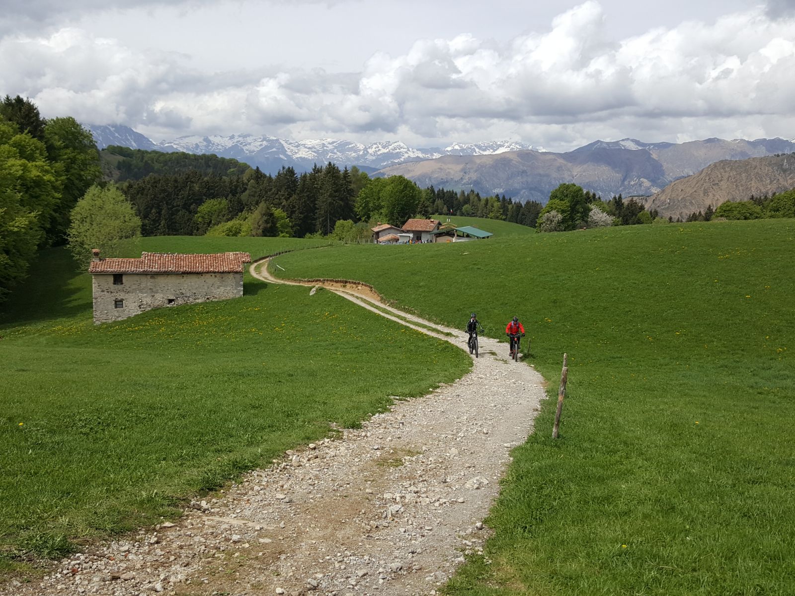
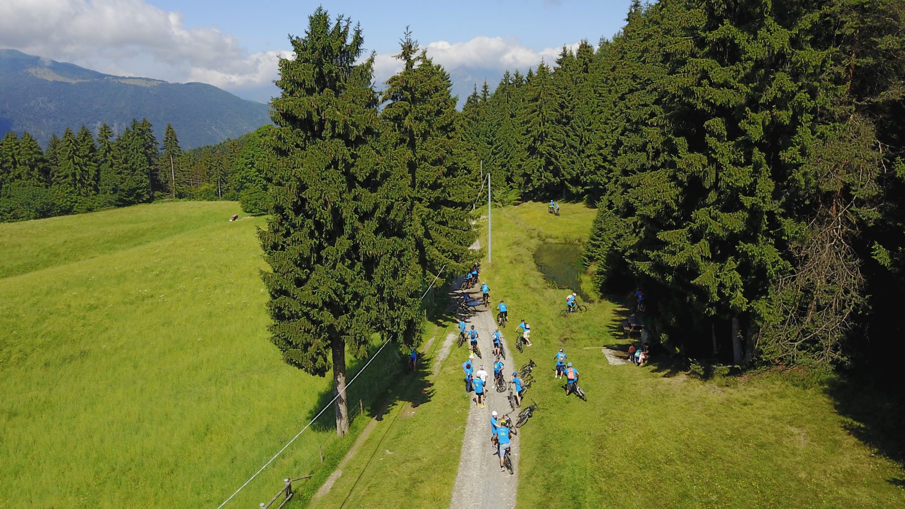
The ride continues along a dirt road up to the second crossroads, where you take the uphill path that indicates Loc. Gavazzano, a clearing with a refreshment area.
From here continue to the point where a sign leads you to turn left onto a narrow path through the woods that arrives at the Chiesetta dei Caduti/Pozza d’Ast, a clearing in the wood equipped with a large shed, tables and benches, water, a small church dedicated to the fallen in war and a pond.
Then continue downhill in the woods until you reach Loc. Tre Santelle and then in the village, on Via Roma, in the direction of the sports field, to then reach the starting point.
DE – Die Route, die am Touristen Information des Pro Loco Bossico in Via Giardini beginnt, führt weiter zwischen Arkaden und teilweise gepflasterten Straßen des historischen Zentrums, bis man den Rand des Pinienwaldes erreicht, wo auf einem Platz eine große Informationstafel steht, mit Informationen zu MTB- und Nordic-Walking-Strecken.
Die Fahrt geht weiter auf einem unbefestigten Weg bis zur zweiten Kreuzung, wo man den ansteigenden Weg nimmt, der auf die Ortschaft Gavazzano hinweist, eine Lichtung mit einem Erfrischungsbereich.
Von hier aus weiter bis zu dem Punkt, an dem man nach links auf einen schmalen Pfad durch den Wald abbiegt, der zur Chiesetta dei Caduti/Pozza d’Ast führt, einer Lichtung im Wald, die mit einem großen Schuppen, Tischen und Bänken, Wasser, eine kleine Kirche, die den Kriegsgefallenen gewidmet ist, und eine Pfütze.
Dann weiter bergab im Wald bis zum Ortsteil Tre Santelle und dann im Dorf auf der Via Roma in Richtung Sportplatz, um dann den Ausgangspunkt zu erreichen.
How to arrive and where to park / Anreise und Parkplätze
Follow the signs for Lake Iseo and then for Lovere. Take the SP 53 of Valle Borlezza and continue following the signs for Bossico.
Parking space at Bossico’s sports field.
DE – Man folgt der Beschilderung zum Iseosee und weiter nach Lovere. Man nimmt die SP 53 von Valle Borlezza und folgt weiter den Schildern nach Bossico.
Parkplätze m Sportplatz von Bossico.
Useful info / nützliche Info
Recommended MTB with knobby tires (dirt road and white roads), water bottle, gloves, helmet and technical cycling clothing.
DE – Empfohlenes MTB mit Stollenreifen (Schotterpiste und weiße Straßen), Wasserflasche, Handschuhe, Helm und technischer Fahrradbekleidung.
DETAILS
- Duration: 1h 25 min
- Distance: 8,7 km
- Difference in height: +325 m
- Starting point: Via Giardini, 1, Bossico
- Arrival point: Via Giardini, 1, Bossico
- Credits: Pro Loco Bossico
Book now:
As smooth as river Oglio – bike and kayak
Lovere
This experience is suitable for everyone who wishes to spend an alternative day, doing a little move...
 BOOK NOW
Monte Isola by night – bike tour
Iseo
“Monte Isola by night” is an experience that combines sport, local flavours and stunning...
BOOK NOW
Along the cycle route of the River Oglio…my own way! – 4 nights
Lovere
The cycle path of the Oglio river was nominated by the jury for the Green Road Award “the most...
BOOK NOW
Bike rental
Iseo
Iseo Bike rents city bikes, mountain bikes, pedal assisted electric bicycles, for individuals, famil...
BOOK NOW


