Circular tour Monte Vignole, Corna Trentapassi and Passo Croce di Zone from Cusato
This circular itinerary allows you to reach Monte Vignole and Corna Trentapassi from Cusato (Zone). You then return to the starting point passing through Passo Croce di Zone and, subsequently, via the “Salve Regina” path.
DE – Diese Rundtour ermöglicht es, von Cusato (Zone) aus den Monte Vignole und die Corna Trentapassi zu erreichen. Über den Passo Croce di Zone und anschließend über den Weg „Salve Regina“ kehrt man zum Ausgangspunkt zurück.
The trail / der Weg
Park your car in Cusato di Zone. The parking spaces are to be paid with a “scratch and park” method; a postcard available at the commercial activities indicated on the sign. Leave the car park and follow the uphill road for about thirty metres; at another small car park, turn left onto Via Ciclamino. Continue until you reach a crossroads where, on the stone wall of the house opposite, there is a barely visible sign indicating the CAI 229 path to Monte Vignole.
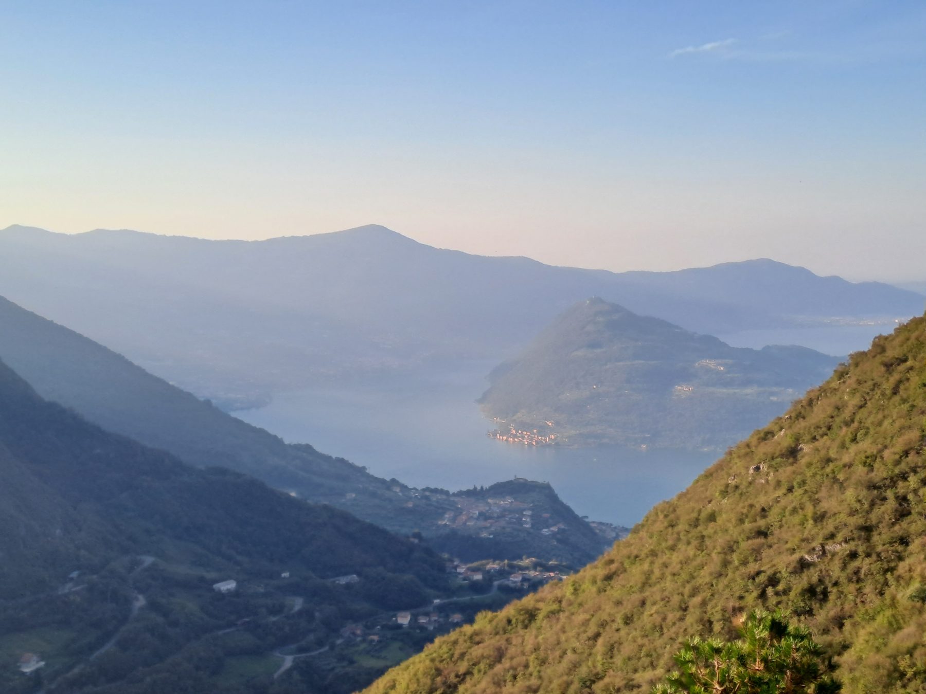
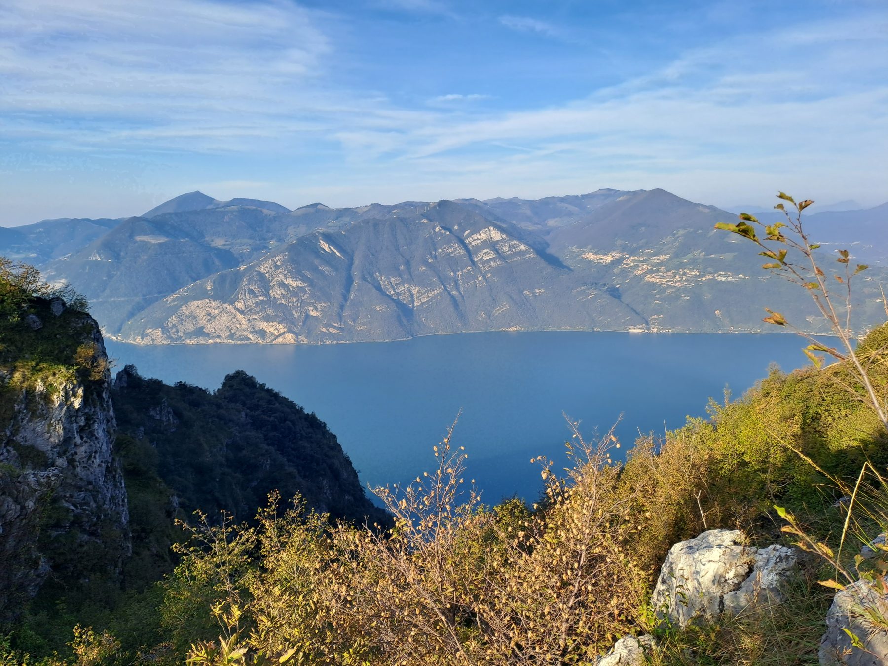
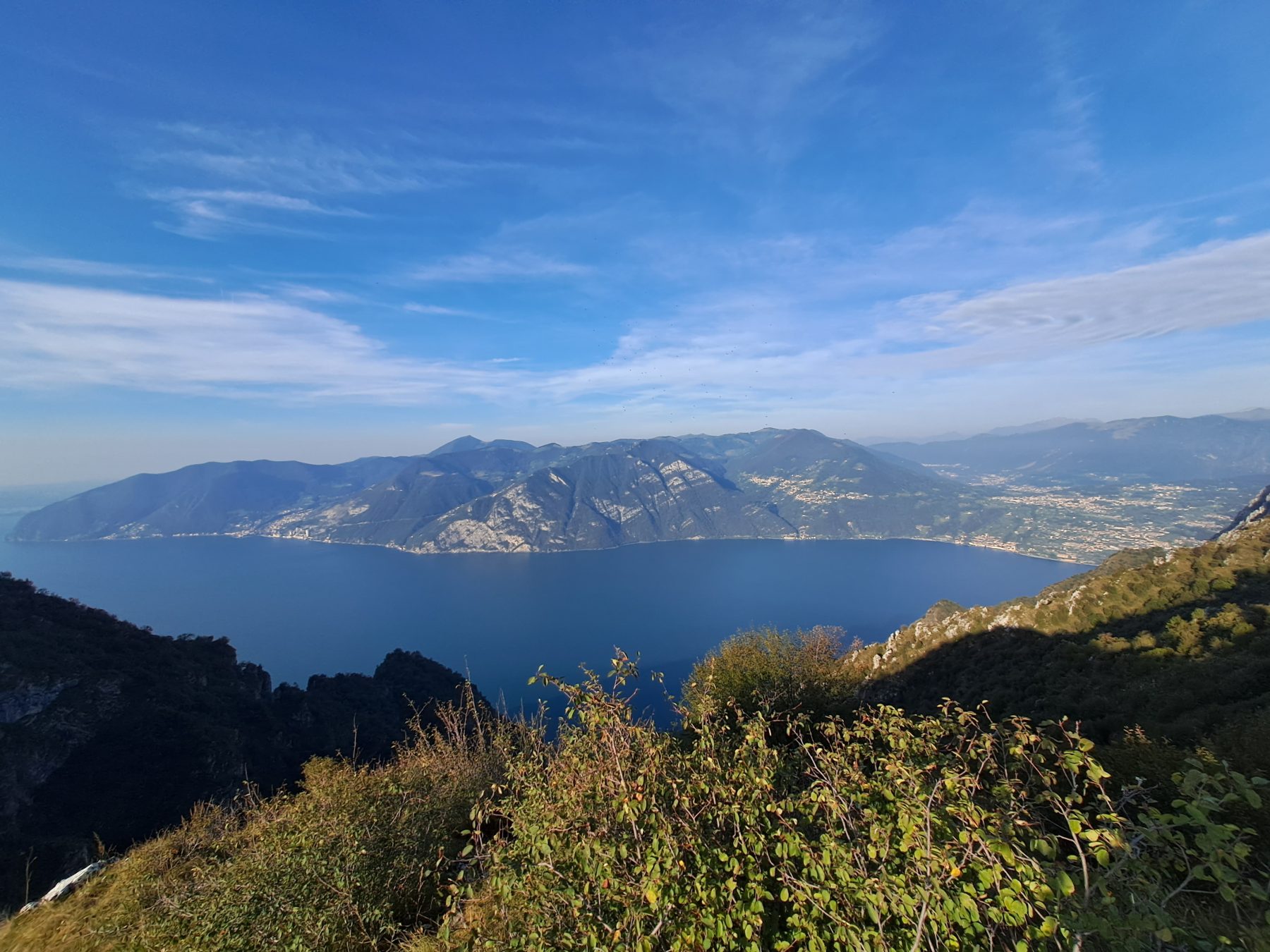
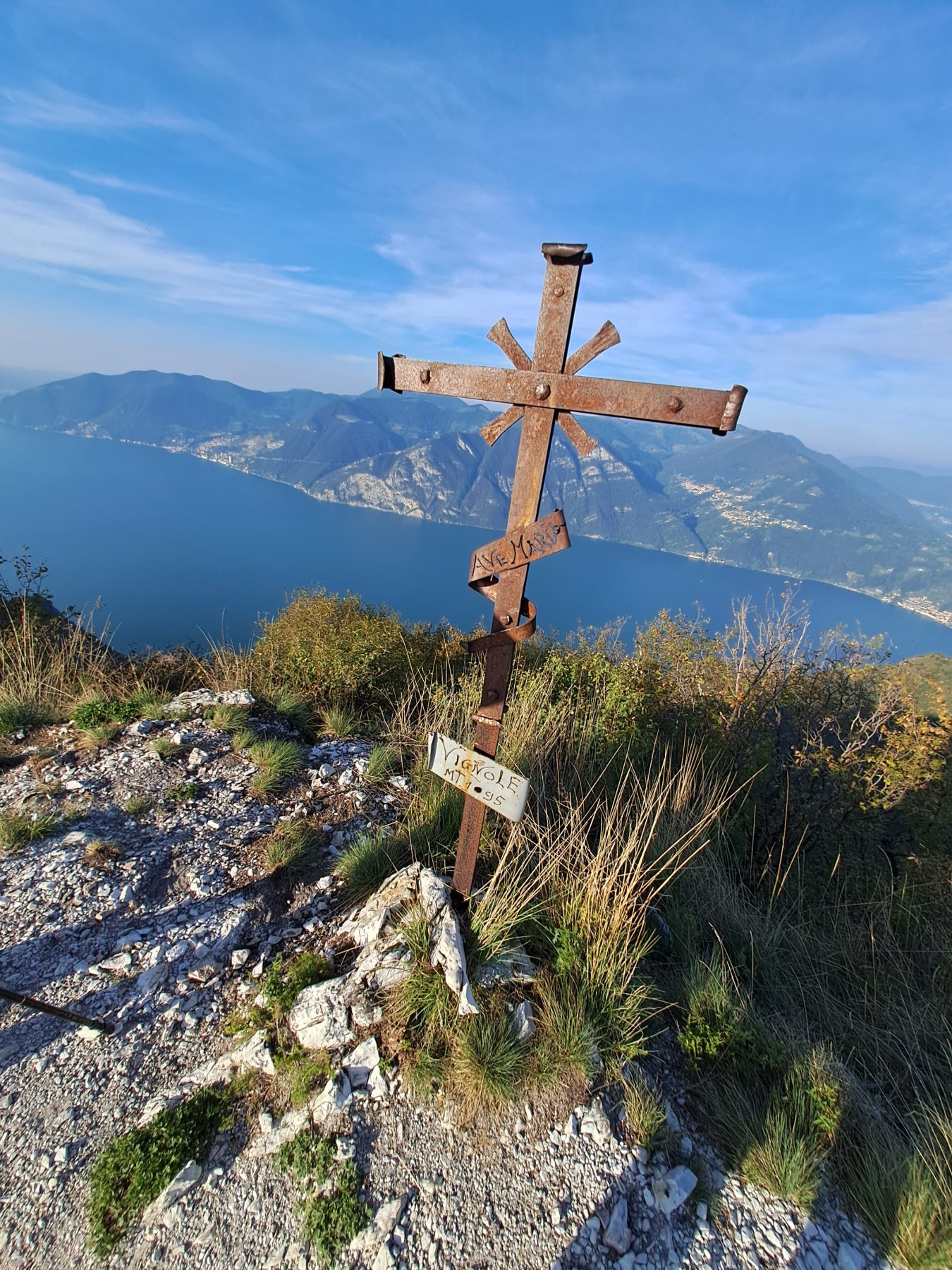
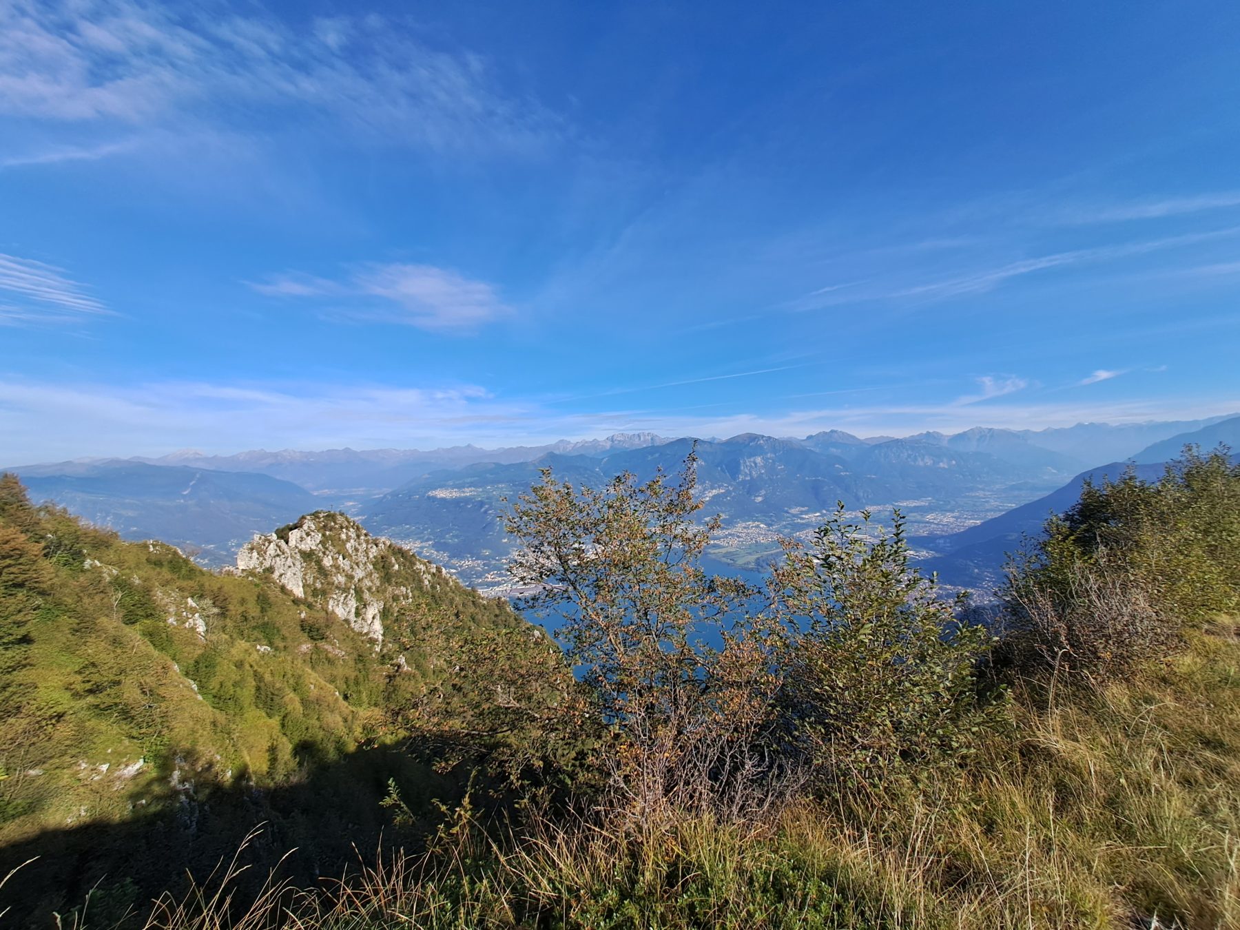
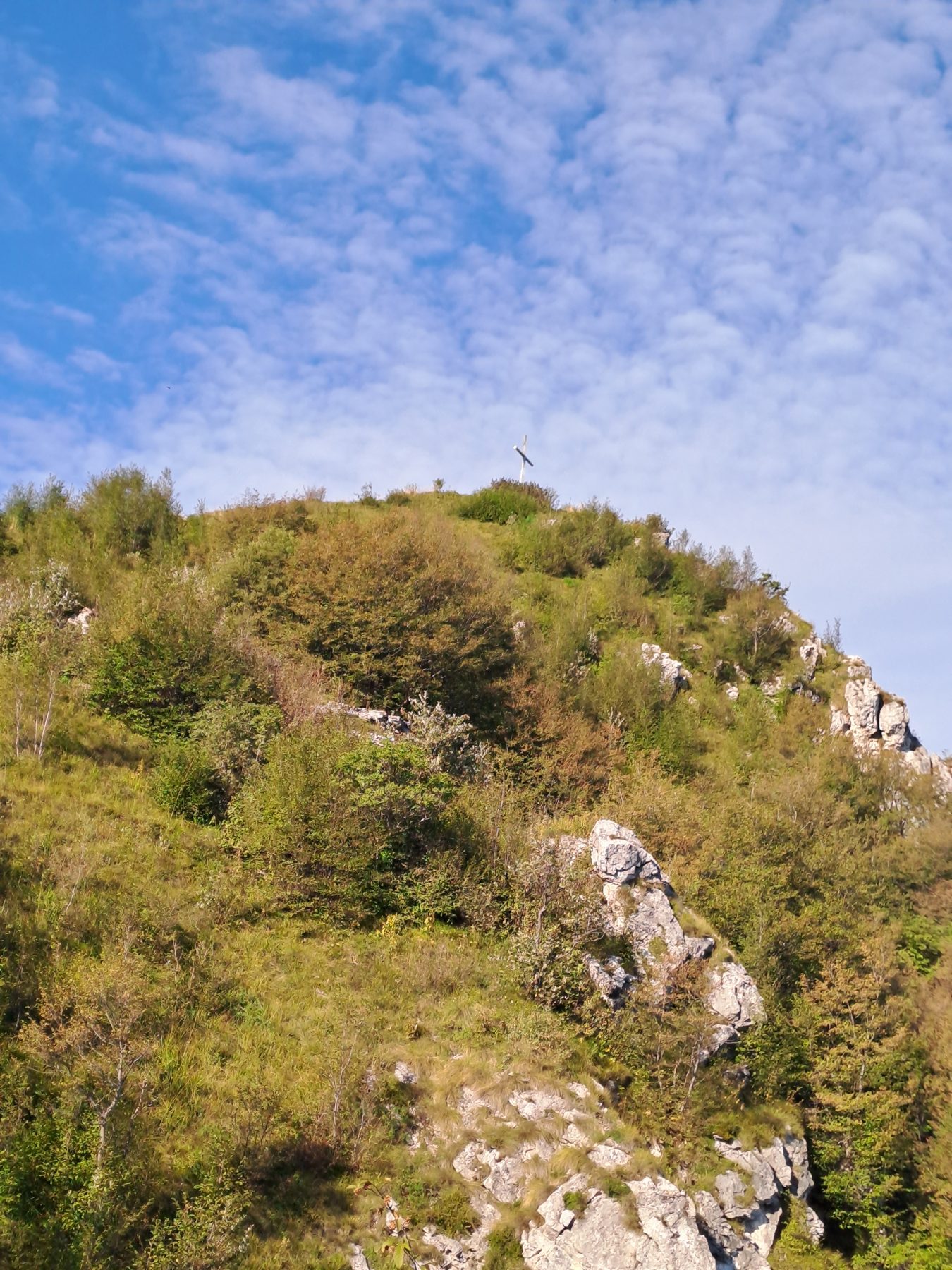
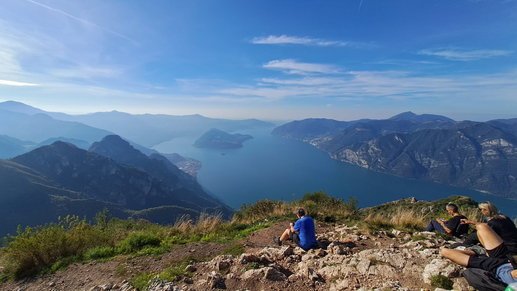
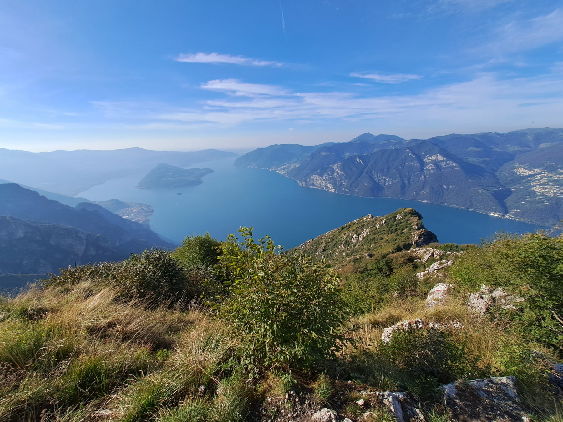
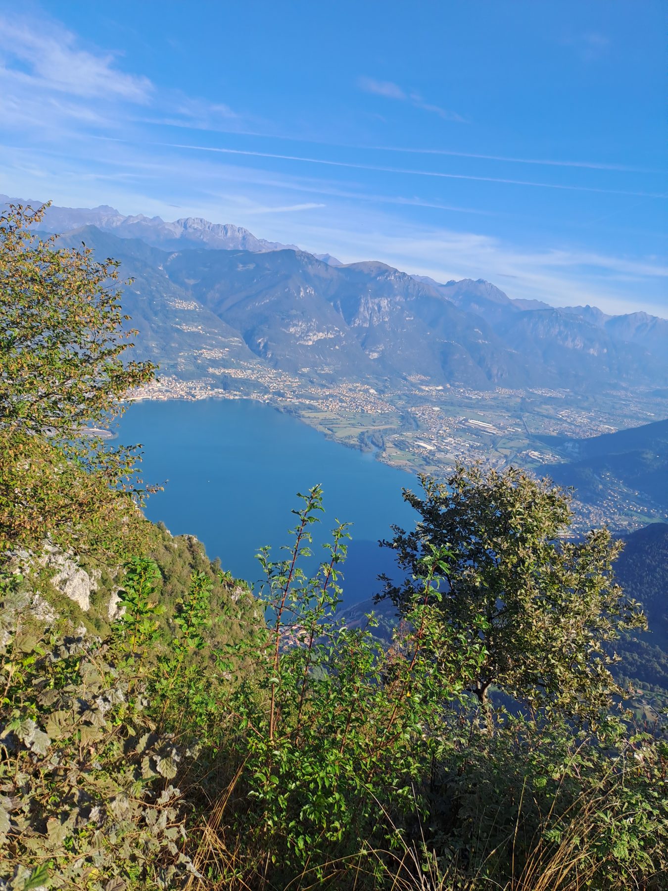
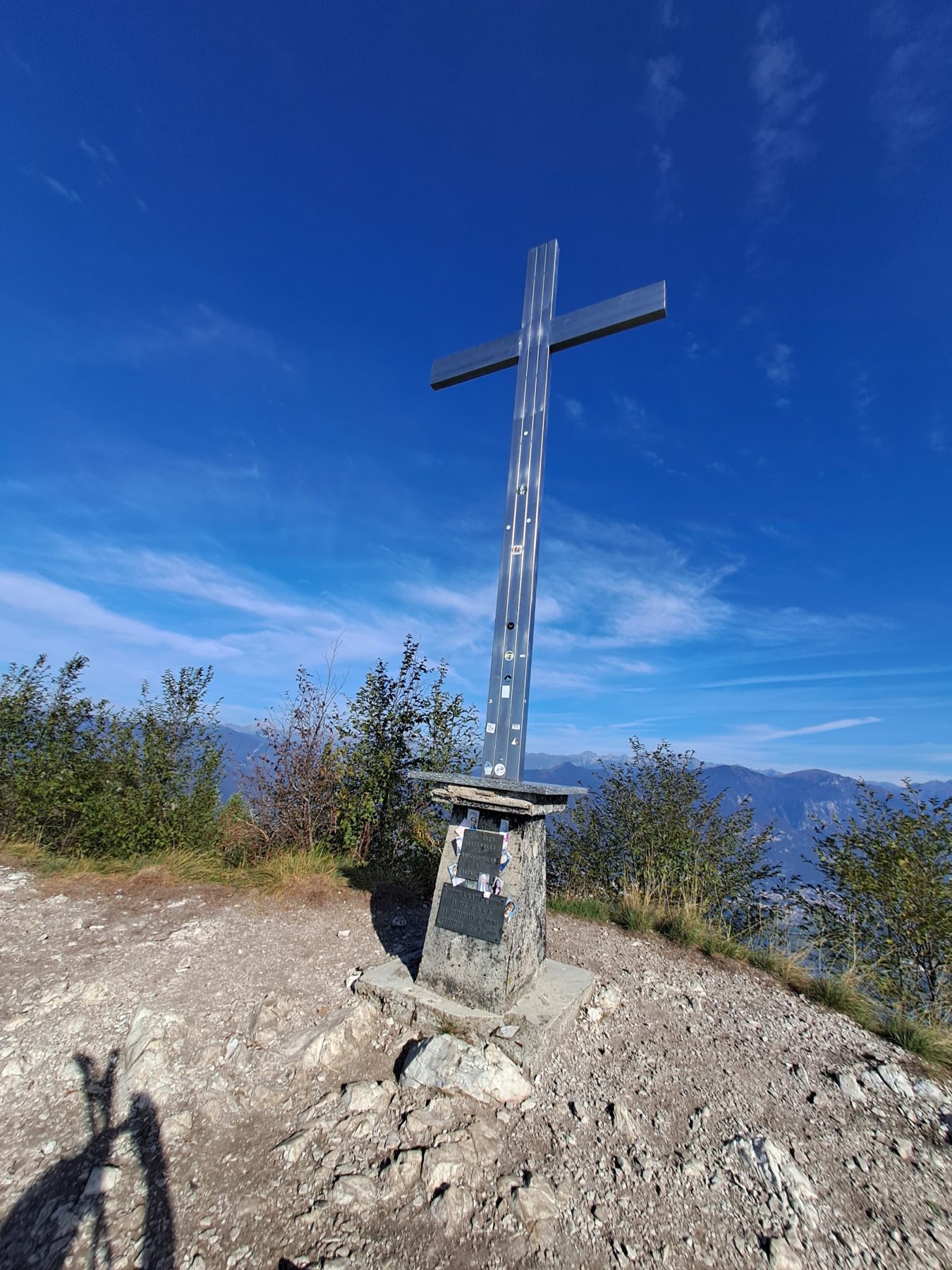
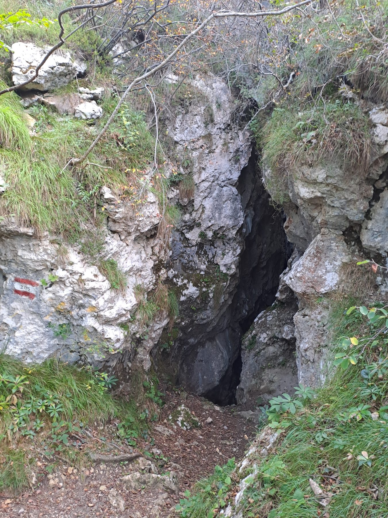
Turn right and, after passing a small picnic area, turn left and take a steep climb on a paved road. Continue through the woods, always following the white and red trail signs on trees and stones. Once out of the woods, Lake Iseo and Montisola appear for the first time. Continue entering the woods again until the “forcellino del Gadöl”, where on the left you go to Monte Cunicolo, while on the right you continue towards Monte Vignole. The route becomes steep and rocky and, in some sections, it is necessary to use your hands. To the right of the path, the view of the lake is spectacular and makes you forget fatigue and anxiety. Having reached the top of the rock face, the path quickly leads to the summit of Monte Vignole, where a cross is placed. Also from here, the view is wide, spanning 360 degrees over the lake, the town of Zone, and the surrounding mountains.
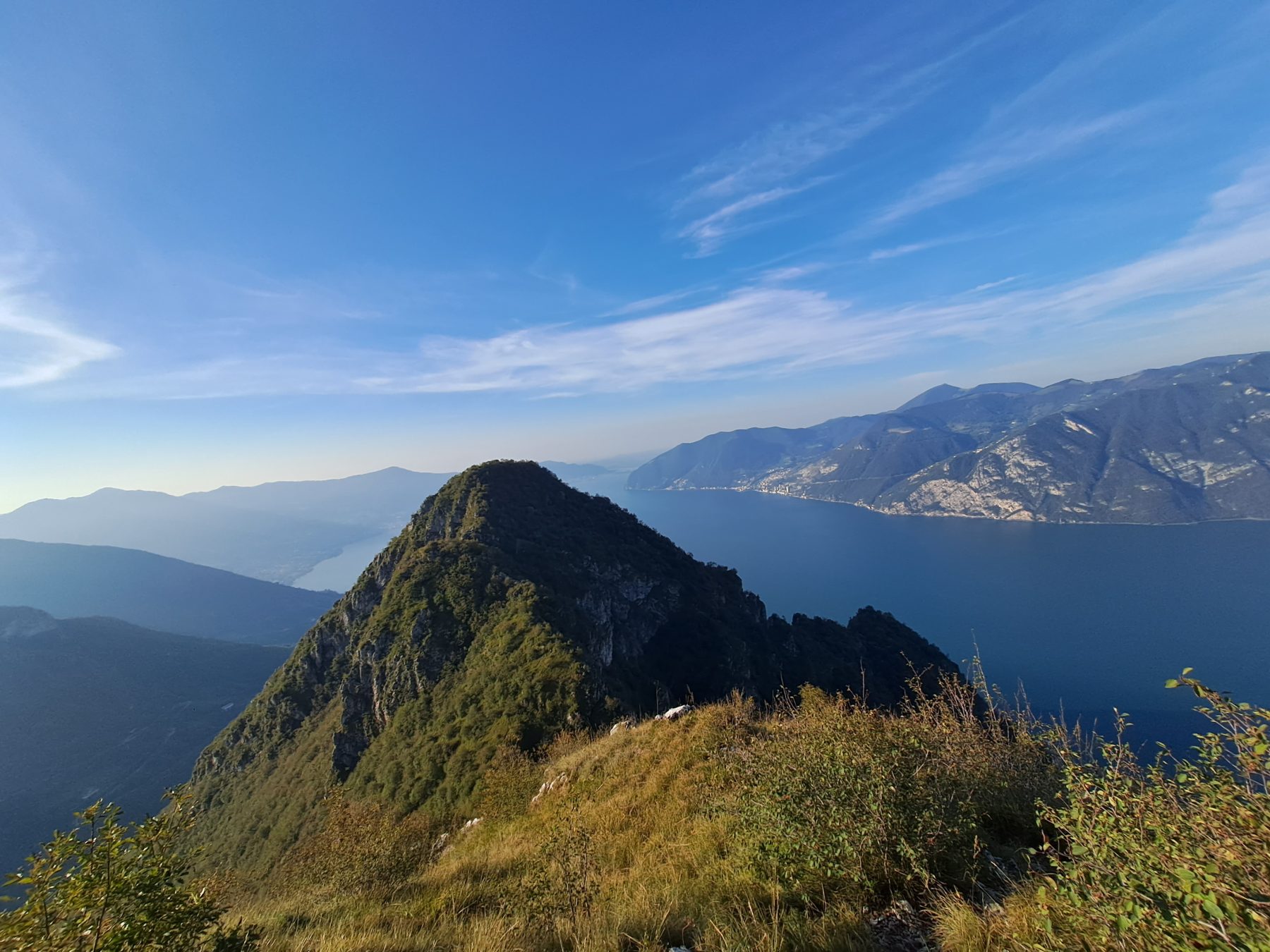
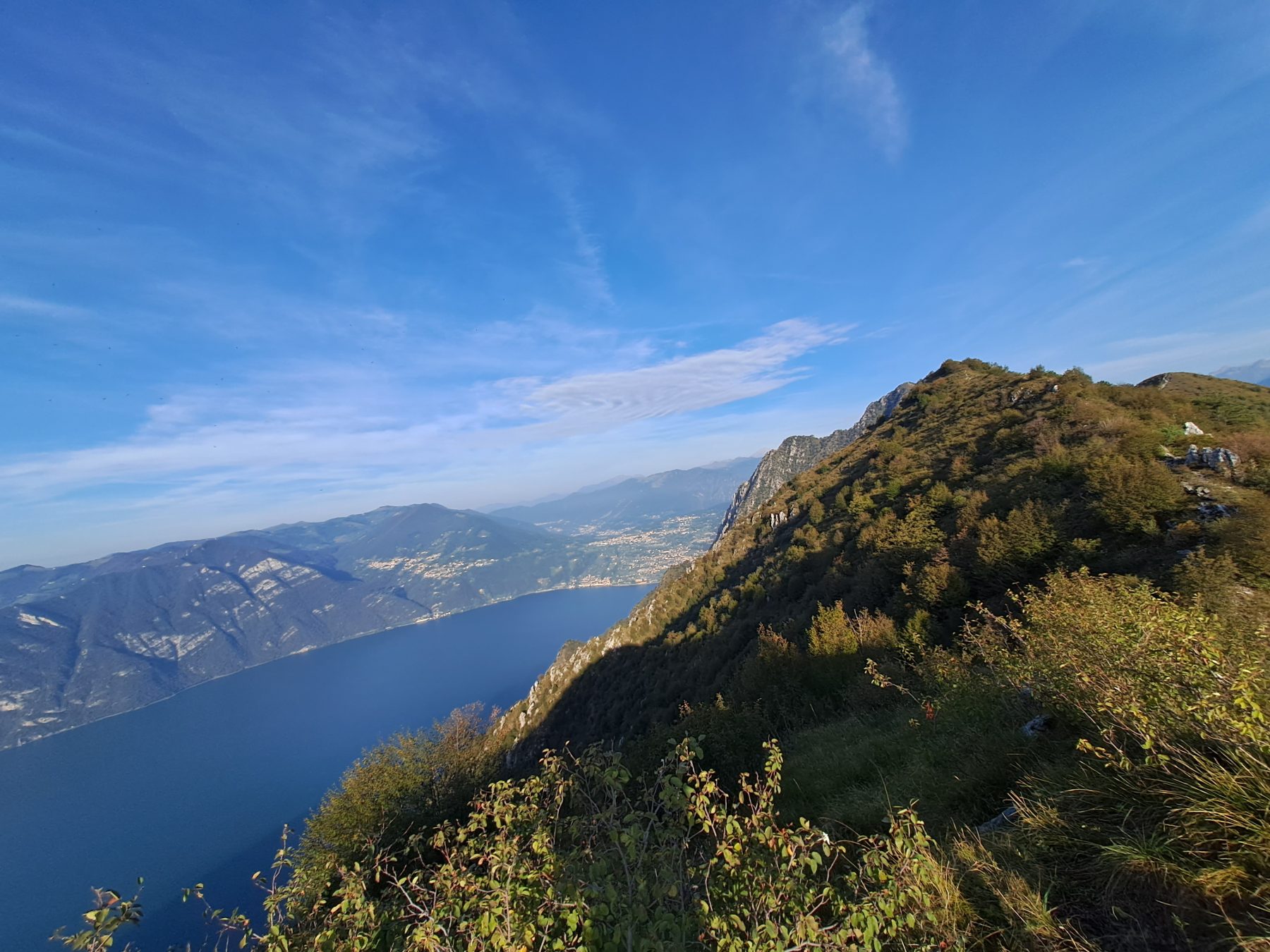
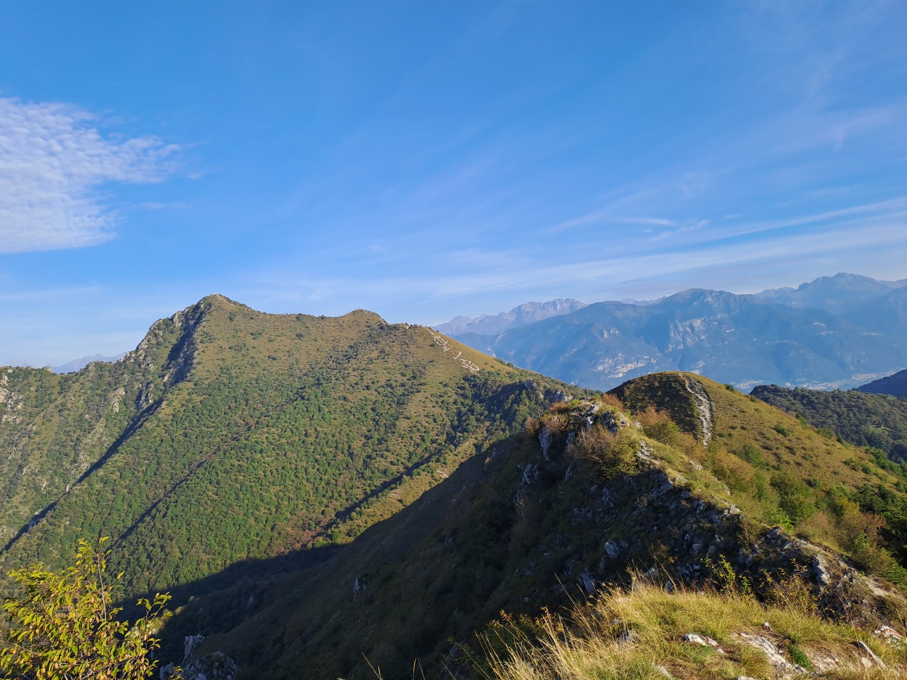
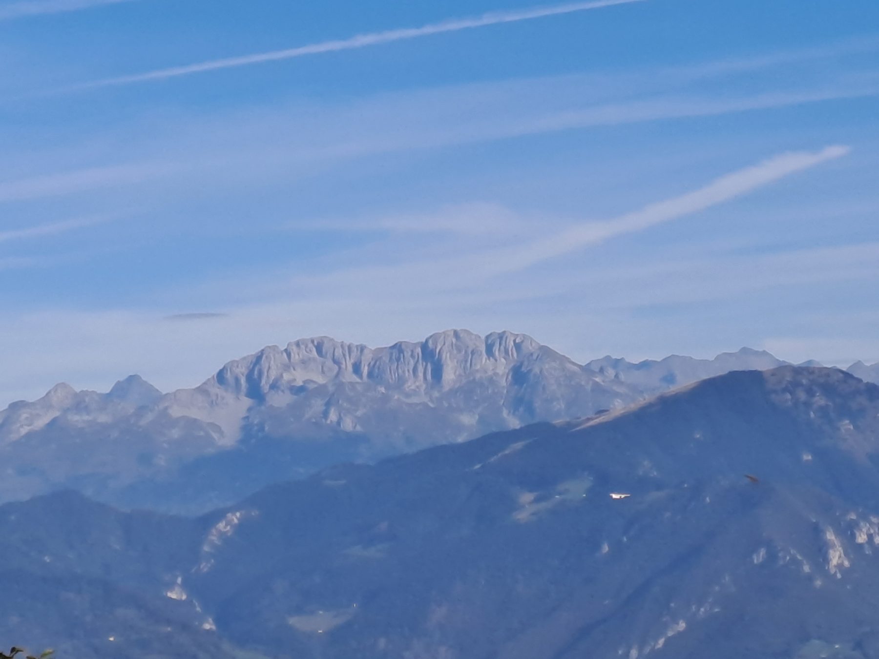
Continue along the ridge, sometimes on grass and sometimes on rock, up to a crossroads where, on the right, trail sign 229A takes you back to the starting point, while the left path leads to Trentapassi. Here begins a small rocky ridge which is perhaps the most fascinating and adrenaline-filled part of the itinerary, at the end of which, out of the woods, the steep ascent to Corna Trentapassi begins. Another twenty minutes and you reach the large steel cross located on the summit. It is time to rest and admire the view.
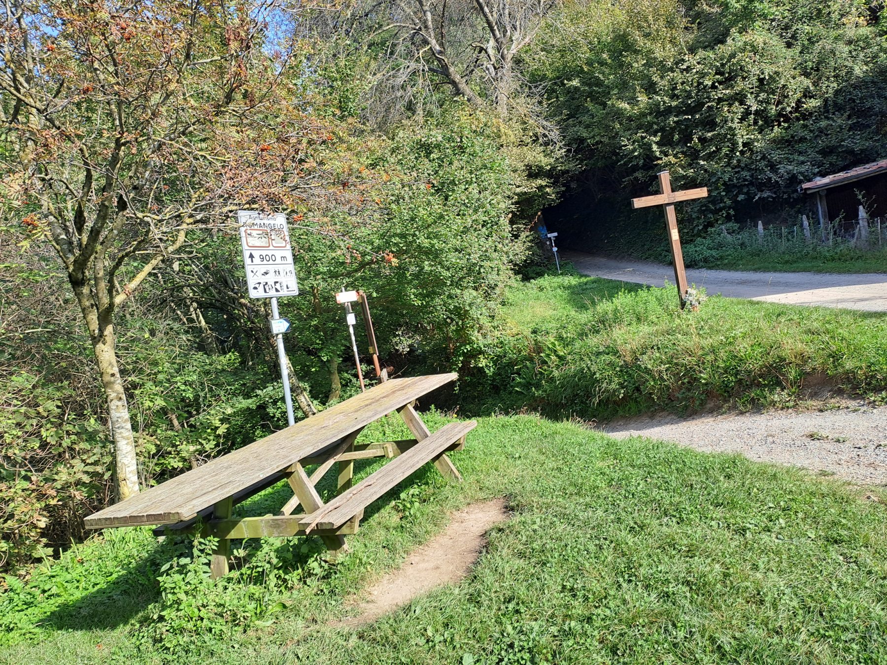
The return path corresponds to the one that was used before up to the woods. Anyone who has not done it while climbing up can reach the cross at the pre-summit by descending. Once you reach the first trees, at the crossroads, take the left path on a slight up and down until you reach a crossroads, where there is a table with wooden benches. Go past it, continuing straight and paying attention to the signs to avoid the hunting lodge. The path leads into a beautiful hornbeam and oak forest which at times allows you to see the north shore of Lake Iseo. You emerge at the Corce di Zone, where there is another table with benches and a wooden cross.
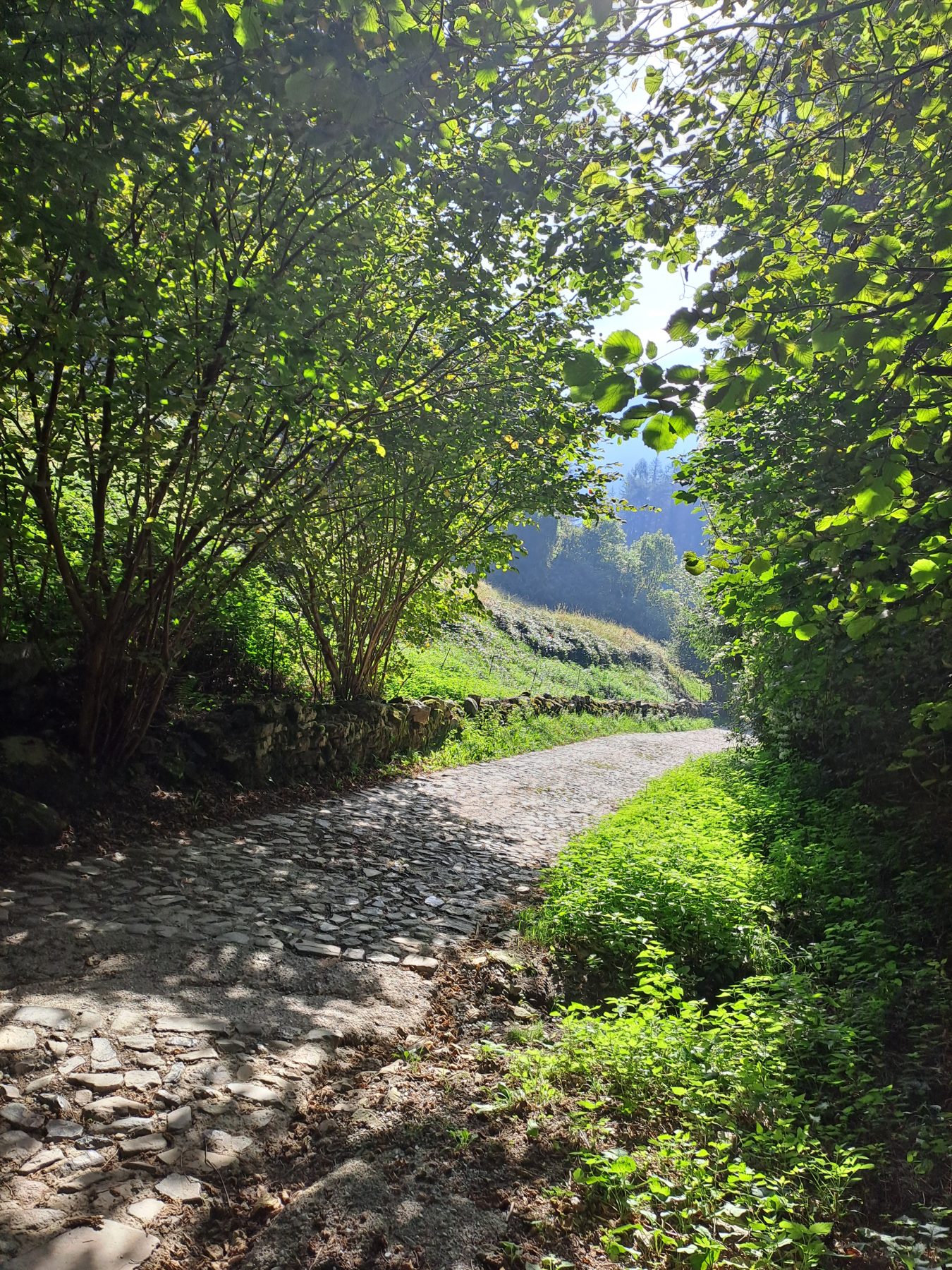
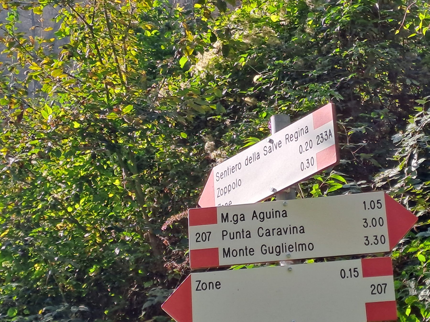
Continue going down to the right along a cobbled road for approximately 300 metres, until you reach, again on the right, the trail sign for the “Salve Regina” path. Taking it, you enter a beautiful fir forest and then emerge into a large meadow. Crossing it, you reach the road that goes down to Cusato. Once you reach a small car park, continue straight on via Trentapassi until the intersection with the first street that you took at the beginning (Via Campagnola), and then straight on Via Aldo Moro until the car park.
DE – Man parkt das Auto in Cusato di Zone. Die Bezahlung des Parkens erfolgt per „Scratch and Park“-Methode, einer Postkarte, die bei den auf dem Schild angegebenen Gewerbeflächen erhältlich ist. Man verlässt den Parkplatz und folgt der bergauf führenden Straße etwa dreißig Meter lang. Man biegt an einem weiteren kleinen Parkplatz links in die Via Ciclamino ein. Man geht weiter bis zu einer Kreuzung, an der sich an der Steinmauer des gegenüberliegenden Hauses ein kaum sichtbares Schild befindet, das auf den Weg CAI 229 zum Monte Vignole hinweist.
Man biegt rechts ab und nachdem man an einem kleinen Picknickplatz vorbeigekommen ist, biegt man links ab und nimmt einen steilen Anstieg auf einer Betonstraße. Weiter geht es durch den Wald, immer den weiß-roten Wegweisern auf Bäumen und Steinen folgend. Sobald man den Wald verlässt, tauchen zum ersten Mal der Iseosee und Montisola auf. Man geht weiter in den Wald hinein bis zur “forcellino del Gadöl”, wo man links zum Monte Cunicolo und rechts weiter in Richtung Monte Vignole gelangt. Der Weg wird steil und steinig und in einigen Abschnitten ist es notwendig, die Hände zu benutzen. Rechts vom Weg ist der Blick auf den See spektakulär und lenkt von Müdigkeit und Ängsten ab. Oben an der Felswand angekommen, führt der Weg schnell zum Gipfel des Monte Vignole, wo ein Kreuz aufgestellt ist. Auch von hier aus ist der Blick weit und reicht von 360 Grad über den See, die Stadt Zone und die umliegenden Berge.
Man geht weiter entlang des Bergrückens, manchmal auf Gras, manchmal auf Felsen, bis zu einer Kreuzung, wo man rechts der Wegweiser 229A zurück zum Ausgangspunkt führt, während der Weg links nach Trentapassi führt. Hier beginnt ein kleiner Felsrücken, der vielleicht der faszinierendste und adrenalingeladenste Teil der Route ist, an dessen Ende, aus dem Wald heraus, der steile Aufstieg zur Corna Trentapassi beginnt. Nach weiteren zwanzig Minuten erreicht man das große Stahlkreuz auf dem Gipfel. Es ist Zeit, sich auszuruhen und die Aussicht zu bewundern.
Der Rückweg entspricht dem Hinweg hinauf zum Wald. Wer es noch nicht beim Aufstieg geschafft hat, kann durch den Abstieg zum Kreuz am Vorgipfel gelangen. Sobald man die ersten Pflanzen erreicht hat, nimmt man an der Kreuzung den linken Weg mit leichtem Auf und Ab, bis man zu einer Kreuzung gelangt, an der ein Tisch mit Holzbänken steht. Man geht daran vorbei, geradeaus weiter und passt auf die Hinweisschilder, um das Jagdschloss zu meiden. Der Weg führt in einen wunderschönen Hainbuchen- und Eichenwald, der zeitweise einen Blick auf das Nordufer des Iseosees ermöglicht. Man erreicht das “Croce di Zone”, wo ein weiterer Tisch mit Bänken und ein Holzkreuz stehen.
Man geht weiter nach rechts auf einer gepflasterten Straße etwa 300 Meter lang bergab, bis man erneut auf der rechten Seite das Wegweiser für den Weg „Salve Regina“ erreicht. Man gelangt damit in einen wunderschönen Tannenwald und gelangt dann auf eine große Wiese. Wenn man sie überquert, erreicht man die Straße, die nach Cusato hinunterführt. Sobald man einen kleinen Parkplatz erreicht hat, fährt man geradeaus über Via Trentapassi bis zur Kreuzung mit der ersten Straße, die man am Anfang genommen hat (Via Campagnola), und dann geradeaus über Via Aldo Moro bis zum Parkplatz.
How to arrive and where to park / Anreise und Parkplätze
Follow the signs for Lake Iseo, take the Provincial Road SP 510 – towards Darfo Boario Terme – exit Zone. Continue until the town center and then follow the signs for Cusato S. Antonio.
Parking in Cusato S. Antonio, in Via Trentapassi or in Via Aldo Moro.
DE – Man folgt den Schildern zum Iseosee, nimmt die SP 510 – Richtung Darfo Boario Terme – Ausfahrt Zone. Man fährt weiter bis zum Stadtzentrum und folgt dann der Beschilderung nach Cusato S. Antonio.
Parkplatz in Cusato S. Antonio, in Via Trentapassi oder in Via Aldo Moro.
Useful info / nützliche Info
Path 229, used for climbing, has some particularly exposed sections. You may need to use your hands to hold on tightly to the rocks on the Monte Vignole ridge.
The use of trekking shoes and poles is recommended.
DE – Weg 229 weist einige besonders ausgesetzte Abschnitte auf. Eventuell muss man sich mit den Händen an den Felsen des Monte Vignole-Kamms festhalten.
Die Verwendung von Trekkingschuhen und ggf. Stöcken wird empfohlen.
Credits: Massimo Colosio
DETAILS
- Difficulty:
Difficult - Duration:
3h 30 min - Distance:
8,7 km - Elevation gain:
+818 m - Starting point:
Via Aldo Moro, Zone - Arrival point:
Via Aldo Moro, Zone - Trail number:
229, sentiero "Salve Regina"


