Oil Road
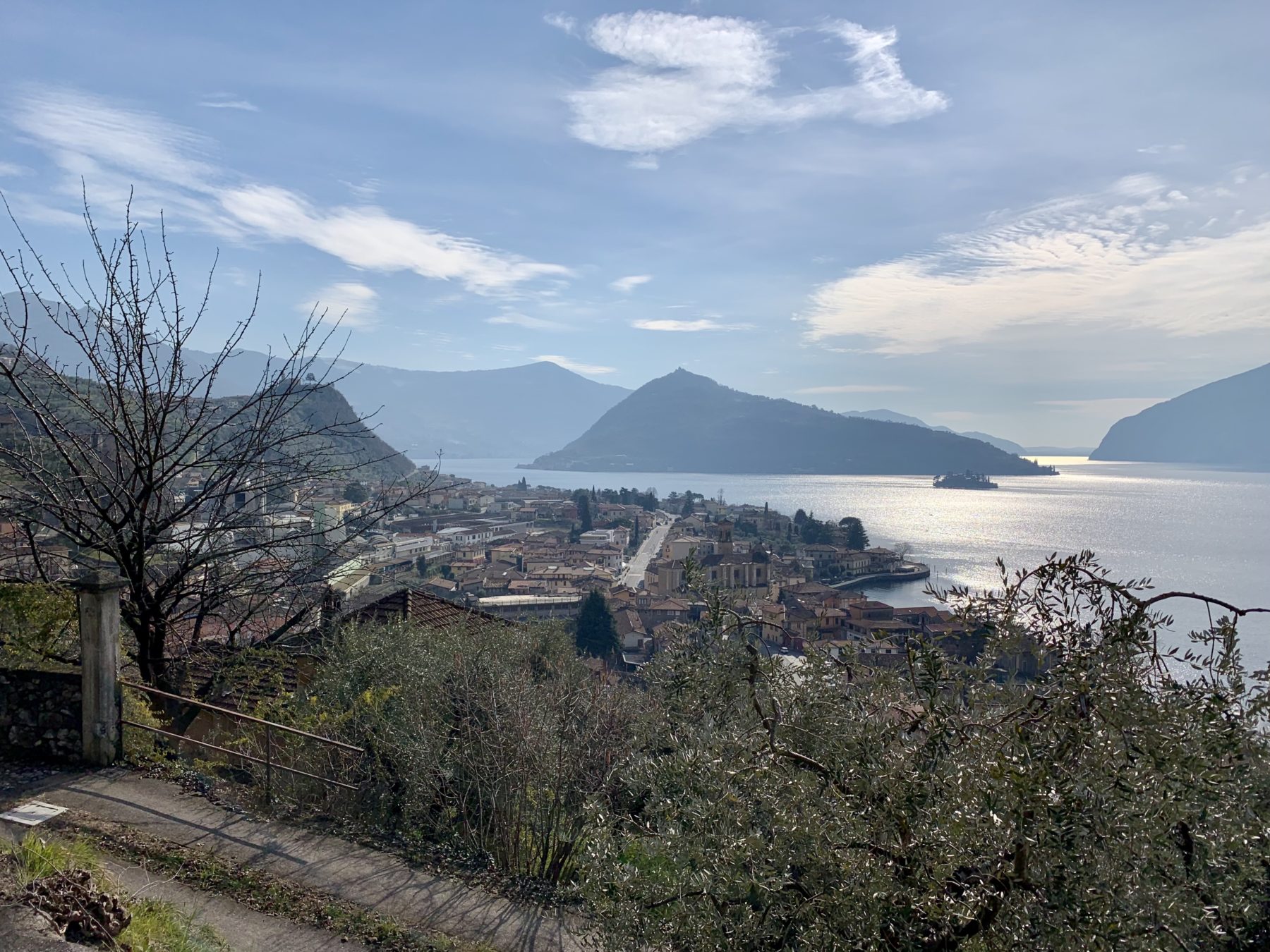
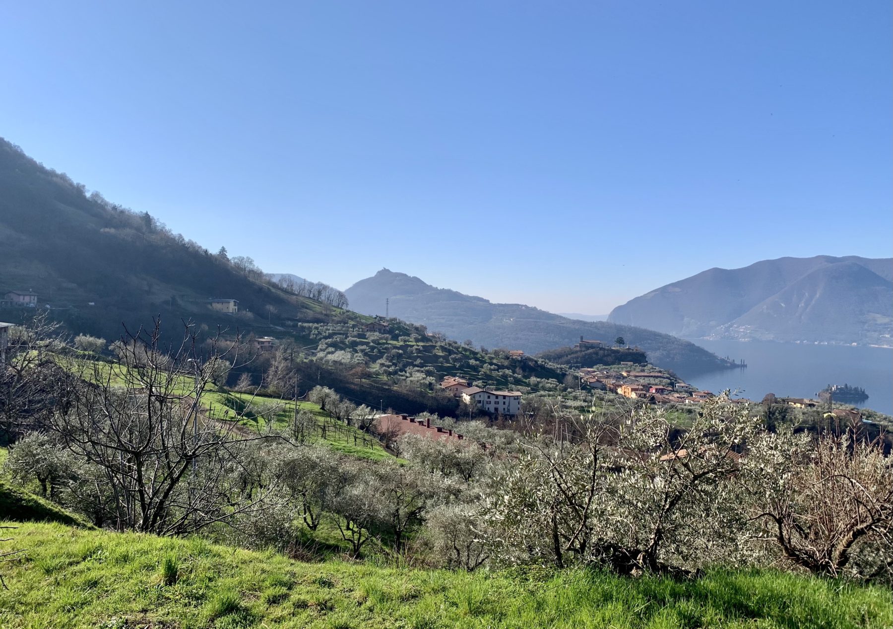
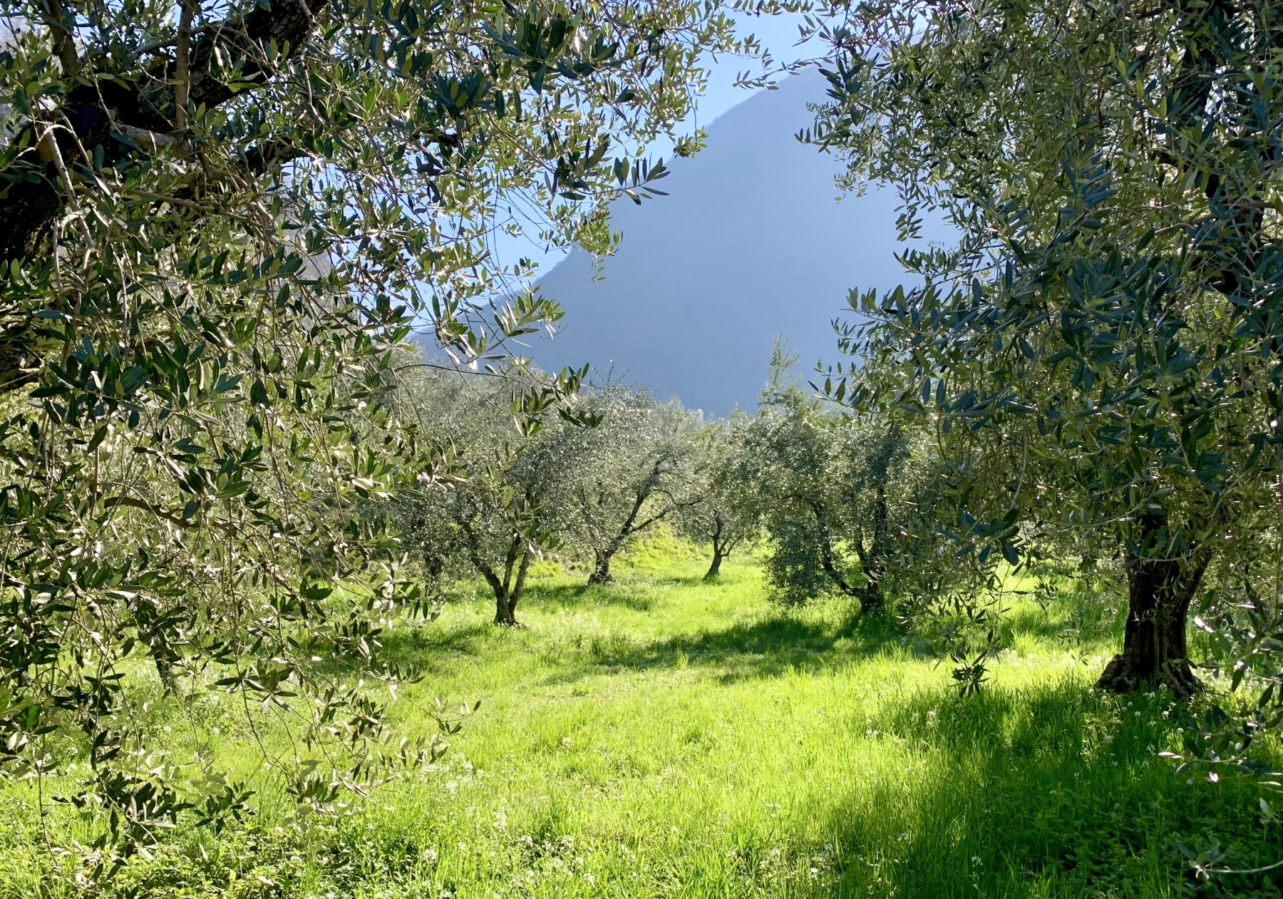
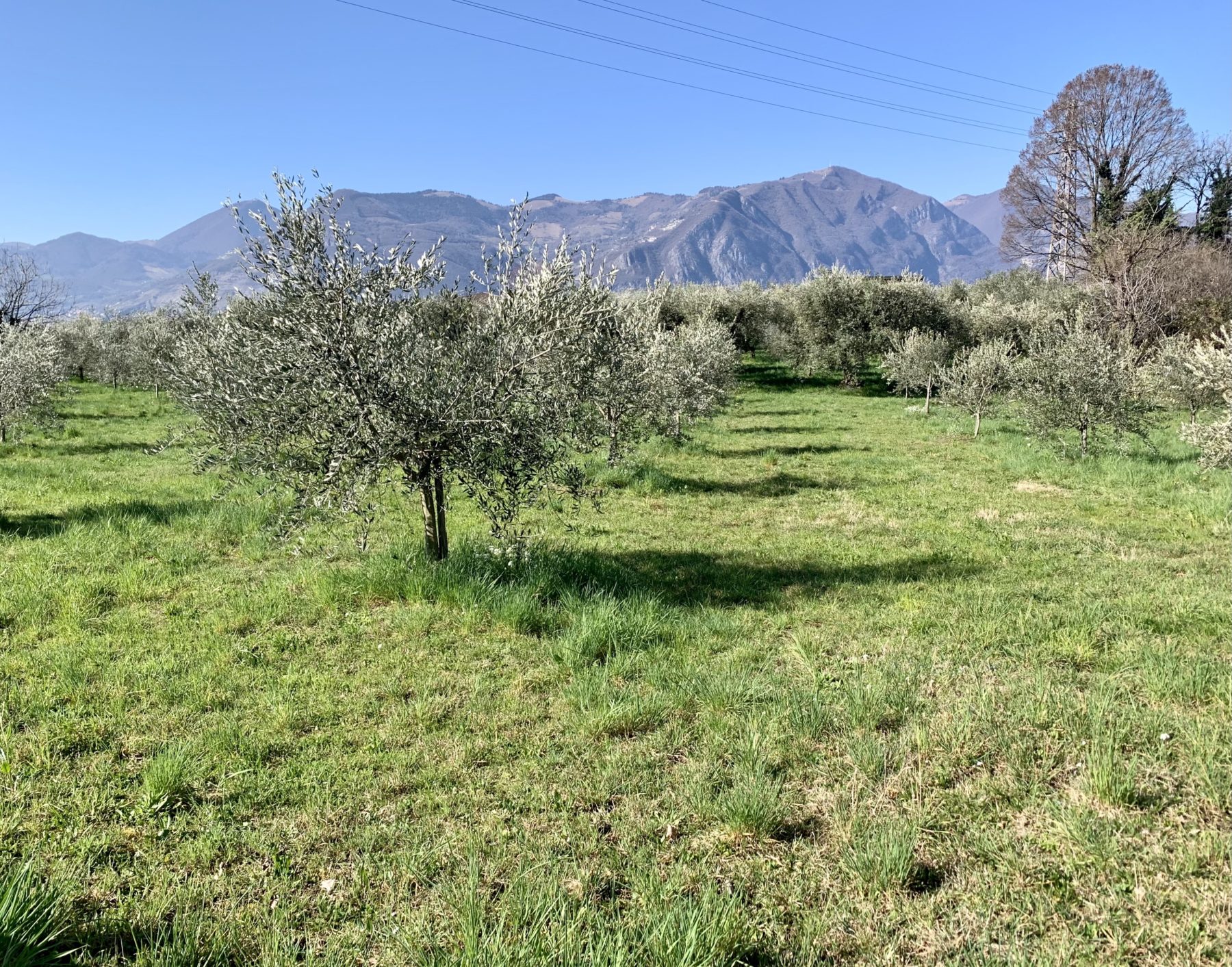
The Oil Road (Strada dell’Olio) is a 13-kilometre itinerary within the municipality of Marone. It was created by the municipal administration to promote sustainable tourism and enhance typical local products. The route allows visitors to discover the companies that produce extra virgin olive oil and to taste their products while enjoying fantastic views of Lake Iseo.
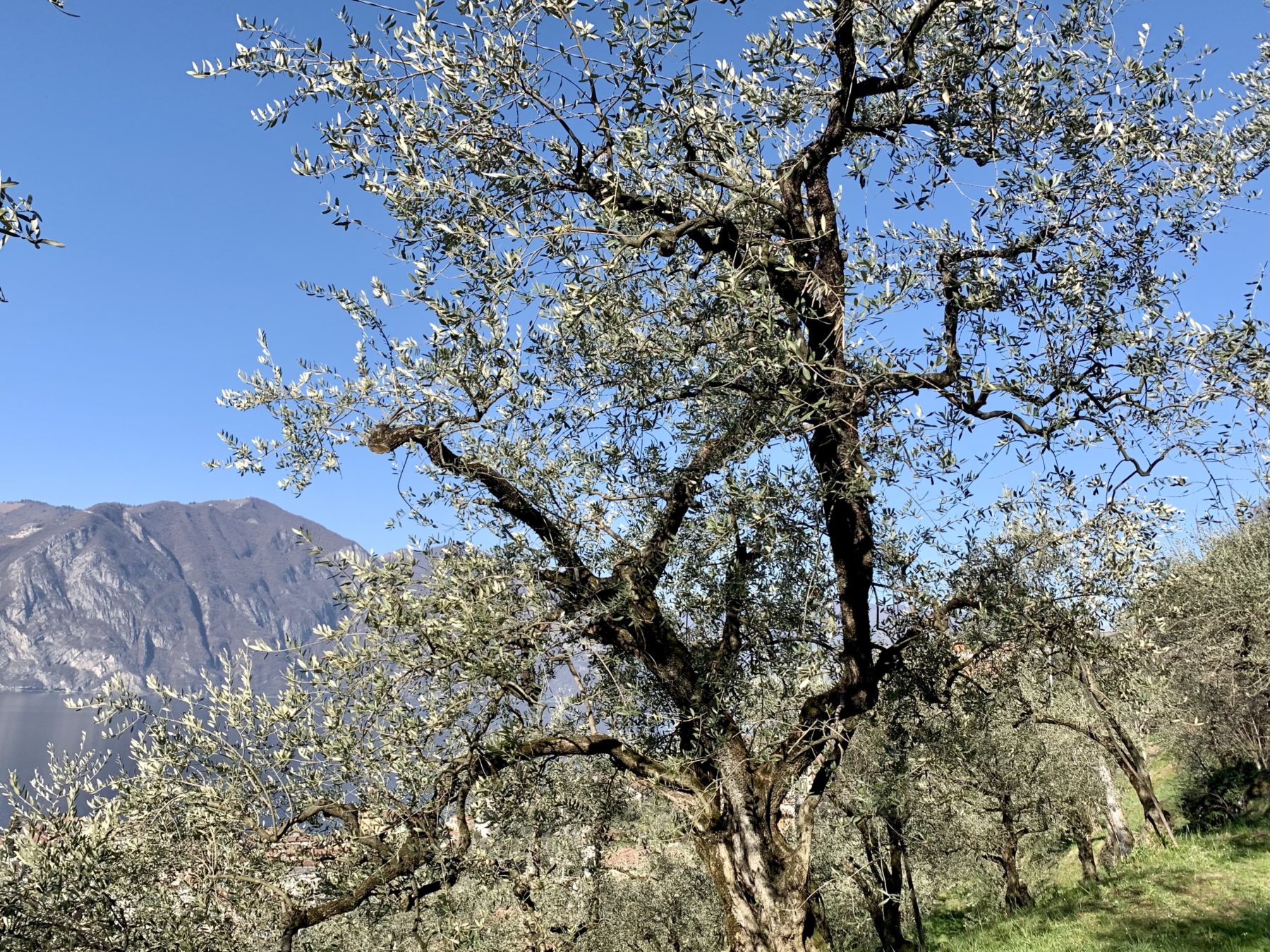
Marone is located in a particular position on the eastern shore of the lake, therefore it enjoys an extremely mild microclimate that has favored the cultivation of olive trees and thus the production of extra virgin olive oil since the 1960s. On the municipal territory today there are 17,000 olive trees and all the cultivars necessary for the production of D.O.P. Laghi Lombardi extra virgin olive oil. The town has been a member of the “Città dell’Olio” Association since 2001.
DE – Die Strada dell’Olio ist eine etwa 13 Kilometer lange Route innerhalb der Gemeinde Marone. Die Route wurde von der Stadtverwaltung im Hinblick auf die Förderung eines nachhaltigen Tourismus und die Verbesserung typischer lokaler Produkte erstellt und ermöglicht es den Besuchern, die Öl produzierenden Unternehmen zu entdecken und Verkostungen zu genießen, während sie einen fantastischen Blick auf den Iseosee genießen.
Marone befindet sich an einer besonderen Stelle am Ostufer des Sees und verfügt daher über ein äußerst mildes Mikroklima, das seit den sechziger Jahren des 20. Jahrhunderts den Anbau von Olivenbäumen und damit die Herstellung von Olivenöl begünstigt. Auf dem Gemeindegebiet gibt es heute 17.000 Olivenbäume und alle Sorten, die für die Herstellung von Olivenöl extra vergine D.O.P. Die Stadt ist seit 2001 Teil des italienischen Vereins „Città dell’Olio“.
The trail / der Weg
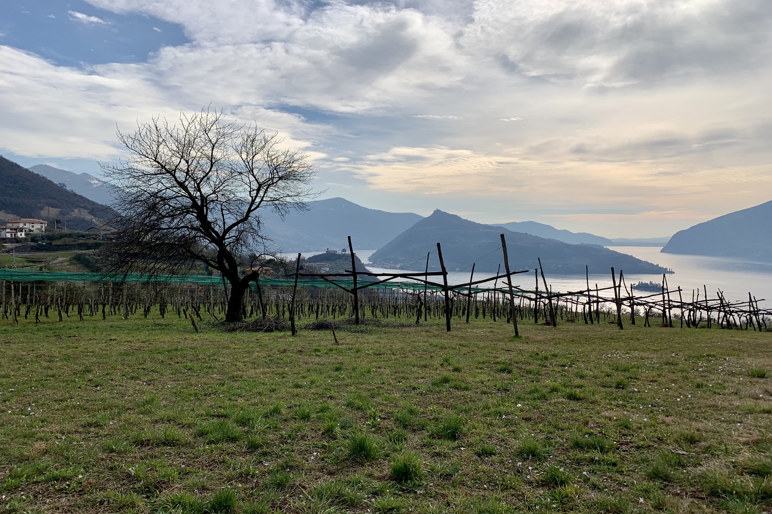
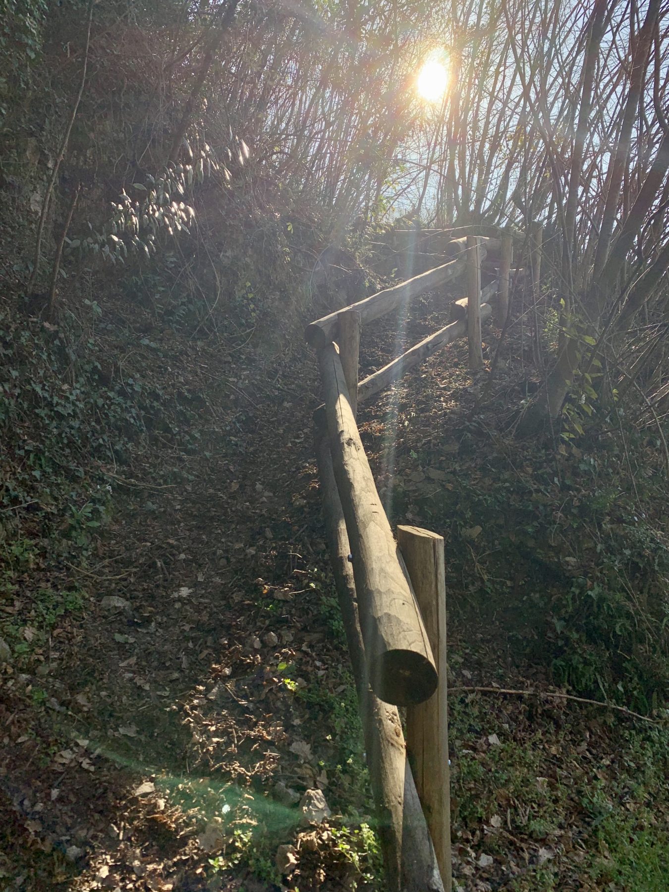
The recommended itinerary starts from the Infopoint, in via Roma 42. Walking on the right side of the main road, take via Risorgimento and follow the Bagnadore stream up to the old dolomite quarry, where you turn left. Here begins an uphill stretch on a mule track which, between dry stone walls and panoramic views of the lake, leads to the locality of Monte Marone. Continuing on the paved road you will arrive at the intersection with the provincial road that leads to Zone, the point where the descent begins. It is now necessary to walk a stretch of about 600 meters on the provincial road without sidewalks: special attention is recommended. Just before a hairpin bend, turn left into via Zone, at an information panel on the Strada dell’Olio. After a few meters, take a downhill path that is part of the Antica Strada Valeriana and you will arrive in Colpiano. Go down towards the Church of San Bernardo da Chiaravalle, located in the center of the district. Go up via Mazzini, and turn right, then you will find yourself again on the provincial road and you will see a big roundabout. Get past the roundabout and continue downhill towards via Valpitana, that leads to the centre of Pregasso. From this point it is possible to take via Garibaldi and reach the town centre through a shorter path. If one continues on the circular route, cross the locality of Pregasso, where you can admire the Church of San Pietro, with a priceless view of Monte Isola. It then is necessary to follow once again the signs of the Valeriana which, through a stepped path, leads to the locality of Vesto. At the end of the steps, turn left and, after a few meters, leave the path to descend on the paved road. From here it is also possible to make a small detour and take the Valeriana to reach some olive groves. The circular route continues descending from via Gandane for 400 meters, turning right and following the entire length of via Caraglio, which leads to the cemetery. From there, an underpass leads to via Cristini, cross the road and turn right, following the path on the side of the main road. After the monument dedicated to the Alpini, turn left in a small street that leads to the Rosselli Park and then on the lakeside promenade, in front of the Church of San Martino di Tours. At the end of the promenade turn right in via Makallè, and reach then the starting point.
DE – Die empfohlene Route beginnt am Infopoint in via Roma 42. Man geht auf der rechten Seite der Hauptstraße über via Risorgimento und folgt dem Verlauf des Bagnadore-Baches bis zum alten Dolomitsteinbruch, wo man links abbiegt. Hier beginnt eine Steigung auf einem Saumpfad, der zwischen Trockenmauern und Panoramablick auf den See zum Ortsteil Monte Marone führt. Wenn man auf der asphaltierten Straße weiterfährt, erreicht man die Kreuzung mit der Provinzstraße, die zur Zone führt, wo der Abstieg beginnt. Es ist jetzt notwendig, eine Strecke von etwa 600 Metern auf der Provinzstraße ohne Bürgersteige zurückzulegen: Besondere Aufmerksamkeit wird empfohlen. Man biegt kurz vor einer Haarnadelkurve an einer Informationstafel an der Strada dell’Olio links in via Zone ab. Nach einigen Metern nimmt man einen Abfahrtsweg, der Teil der Antica Strada Valeriana ist, und kommt in Colpiano an. Nachdem man die Kirche San Bernardo überquert hat, fährt man über Mazzini nach rechts und biegt man erneut in die Provinzstraße und einen großen Kreisverkehr ein. Nachdem man den Kreisverkehrt passiert hat, fährt man bergab in Richtung via Valpintana, die zum Zentrum von Pregasso führt. Von hier aus ist es möglich, über via Garibaldi das Zentrum von Marone mit einer kürzeren Route zu erreichen. Wenn man sich dagegen dafür entscheidet, den Rundweg fortzusetzen, überquert man den Ortsteil. Man folgt erneut den Schildern der Via Valeriana und erreicht über einen Stufenweg die Ortschaft Vesto. Man biegt am Ende der Treppe links ab und verlässt nach einigen Metern den Weg, um auf der asphaltierten Straße abzusteigen. Es ist auch möglich, einen kleinen Umweg zu machen, um einige Olivenhaine zu erreichen. Die Rundstrecke führt 400 Meter von via Gandane hinunter, biegt dann rechts ab und erstreckt sich über die gesamte via Caraglio, die zum Friedhof führt. Von hier führt eine Unterführung zur via Cristini, überquert die Straße und biegt rechts ab. Man folgt dem Rad- und Fußgängerweg entlang der Hauptstraße. Nachdem man das Monumento ai Alpini passiert hat, biegt man links in eine kleine Straße ein, die zum Parco Rosselli führt, und dann am Seeufer entlang, vorbei an der Pfarrkirche, die dem Schutzpatron San Martino di Tours gewidmet ist. Man biegt am Ende des Seewegs rechts in via Makallè ab, um den Ausgangspunkt wieder zu erreichen.
Useful info / nützliche Info
There are two medium level rings in the hamlets of Colpiano and Vello.
The use of trekking shoes is recommended.
DE– In den Ortsteilen Colpiano und Vello gibt es zwei mittelschwere Ringe.
Die Verwendung von Trekkingschuhen wird empfohlen.
DETAILS
- Difficulty:
Easy - Duration:
2h 30min - Distance:
7,5 km - Elevation gain:
+236 m - Starting point:
Infopoint Marone - Arrival point:
Infopoint Marone
Book now:
Treasure hunt in Franciacorta
Franciacorta
A fun experience suitable for everyone in the vineyards of Franciacorta: a team orientation test bet...
 BOOK NOW
Scenic walk to the Big Bench in Franciacorta
Rovato
Among vineyards, woods, and breathtaking views, enjoy an authentic experience in the heart of Franci...
BOOK NOW


