

Grigna Stream
Access: Follow the road for Prestine from the Bienno cemetery; after a bridge, turn right and proceed for about 100 m. along the road that leads to the Tassara power plant. Park the first car. With the second, return to the road to Prestine and go up to Novali locality, at the next forks in the road always keep right, drive up an asphalt road with a steep incline, (white, red and green trail marker) go under a penstock and continue going up until you reach an altitude of about 880. There is a service area for parking on the right. 3 km. from the first vehicle. Descend towards the canyon, you will come upon a shelter for goats and a gate with fencing (close afterwards), then continue descending on the traces of a steep path with large shallow steps for 100 m. of altitude, go past a small valley on the left and keeping left you will find a boulder with a cairn. Take a path heading left that passes under a rock face and leads to the stream bed with ups and downs.
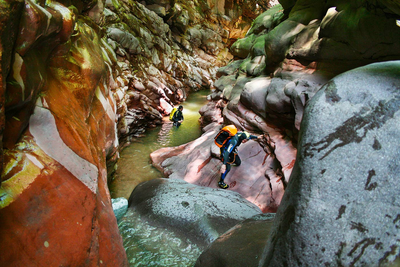
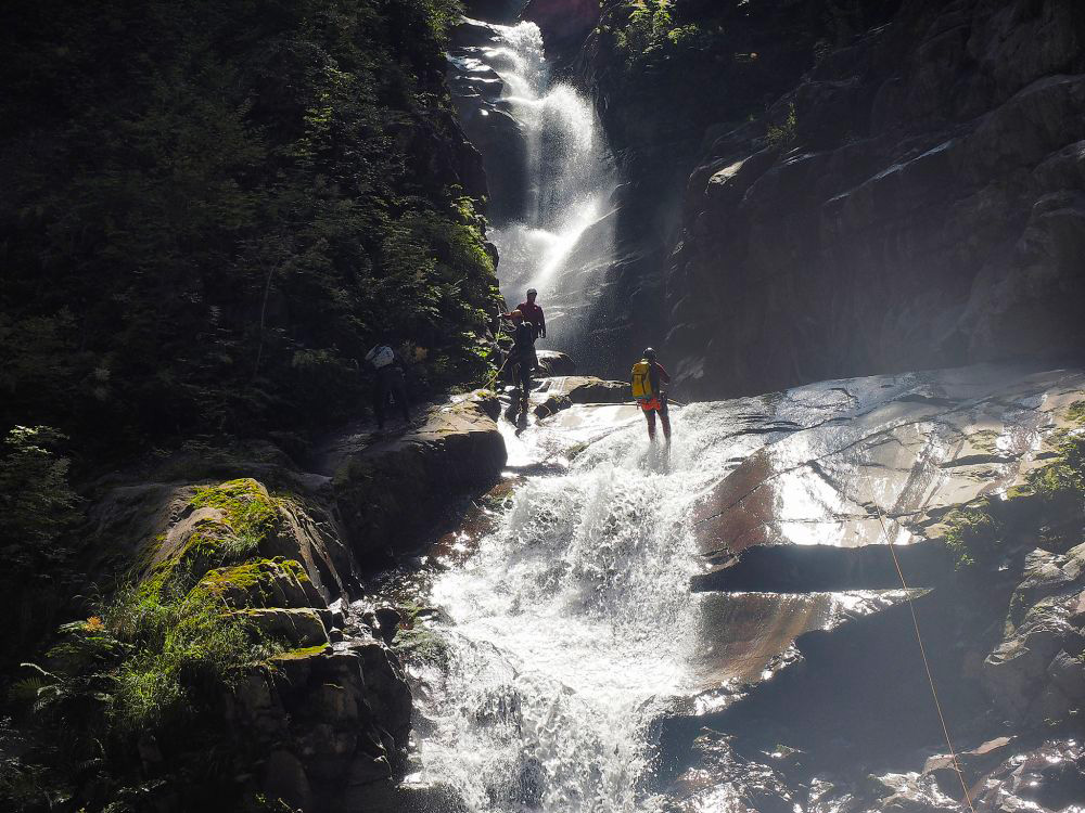
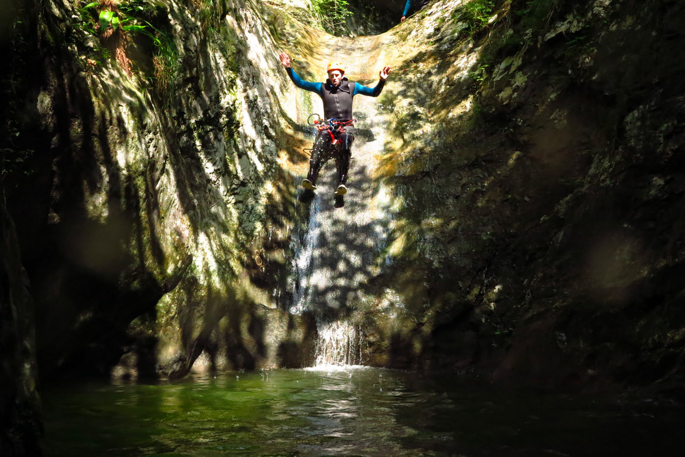
The first abseil is in the centre on the large boulder 18 m. until you reach a fine pothole. The second abseil of 18 m. is into a small and dry pothole. Third abseil of 22 m. to a large pothole, possibility of projecting onto a small terrace and jumping 8 m. Fourth abseil 25 m., keep right until you reach a flat area where there are two possibilities: a 20 m. abseil, or on the right, a jump of 6 or 8 m. to a ledge. Continue along the stream bed with a series of jumps and water slides max. 8 m. until you are under the wall of the power plant. From here, two possibilities: 1) climb left on a cement wall equipped with a fixed rope and follow the path, crossing the bridge over the Grigna stream and coming out at the guardian’s house; then follow the dirt road to your car. 2:) two more abseils, the first under the power plant drainpipe 8 m., the second just a little ahead 10 m. Follow the stream bed, pass under the bridge and continue until you find a path that rises on the right and leads to a dirt road and soon to your car.
DETAILS
- Difference in altitude: 200 m. from an altitude of 700 to almost 500. Actual length 2000 m
- Time for the descent: 3:30 h
- Approach times: 20 min
- Exit times: 20 min
- Longer waterfall: 25 m., v3 a4 III
- Beauty (1-4): 3,5
- Geology: Lombard verrucano
- Map: 1-25000, Lombard Prealps, Val Camonica, Presolana
- Water supply: rainwater, nival, be wary of the automated power plant (Tassara) intake upstream
- Best Time: from June to October
- Canyon Orientation : from NW to SE


