Trekking from Zone to Monte Vignole
Ring itinerary to reach the top of Monte Vignole (1095 meters above sea level) starting from Cusato S. Antonio, in the Municipality of Zone.
DE – Ringroute zum Gipfel des Monte Vignole (1095 Meter über dem Meeresspiegel), ausgehend von Cusato S. Antonio, in der Gemeinde Zone.
The trail / der Weg
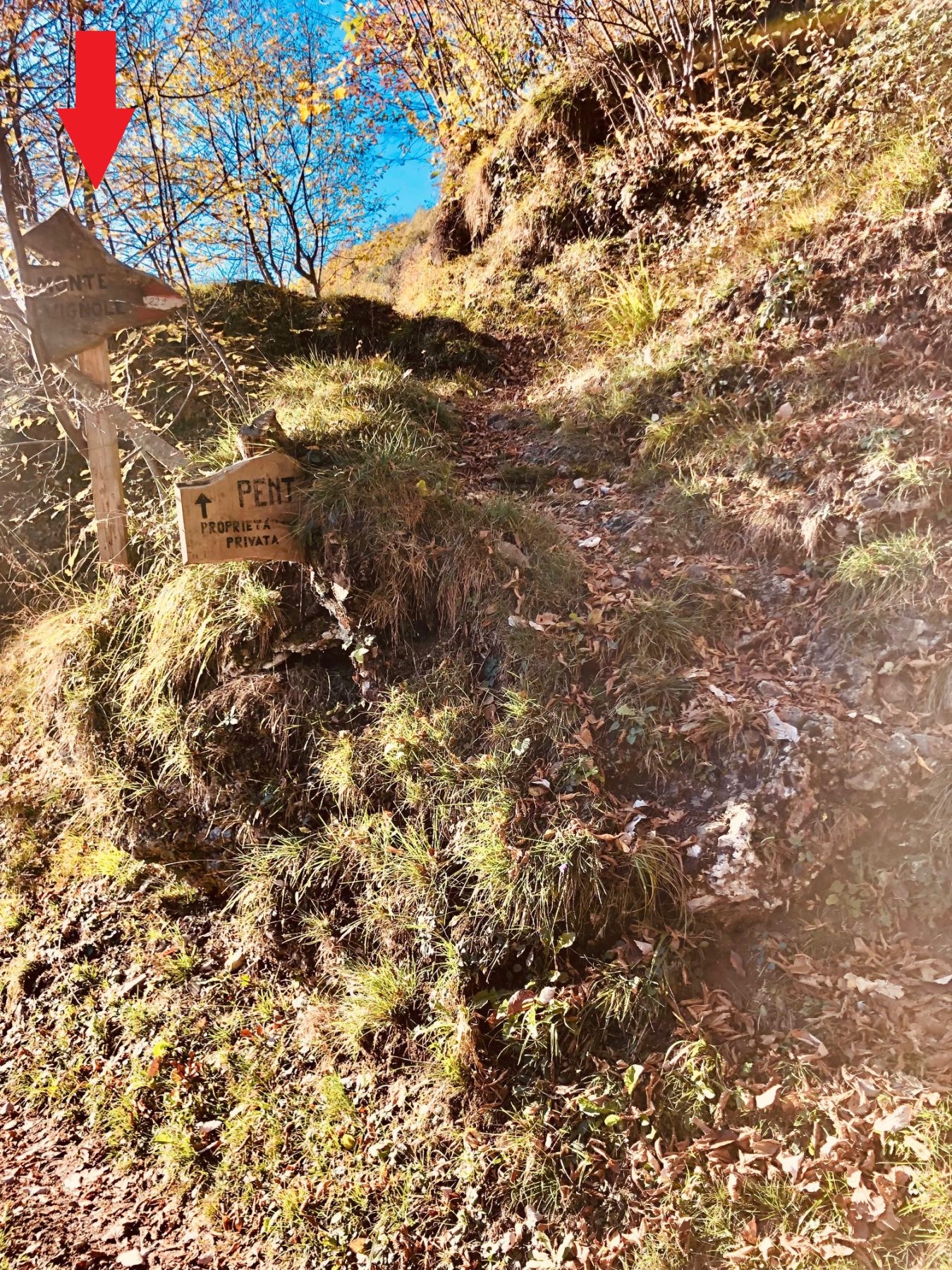
The route starts from the car park in Via Aldo Moro, where there are directions for reaching the Corna Trentapassi. Climb along the road for about thirty meters and turn left at another small parking lot, taking Via Ciclamino. Continue up to an intersection, where there is a small sanctuary placed on the stone wall of a house. Here it is necessary to turn right, paying attention to the signs indicating the path to Monte Vignole, which may be barely visible as they merge on the wall on which they are placed.
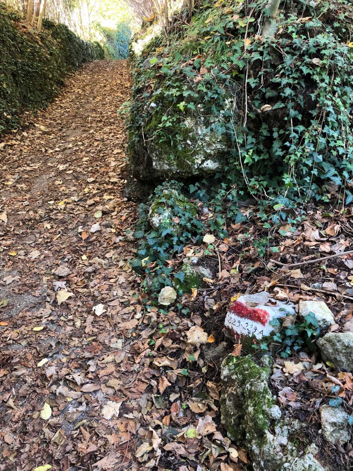
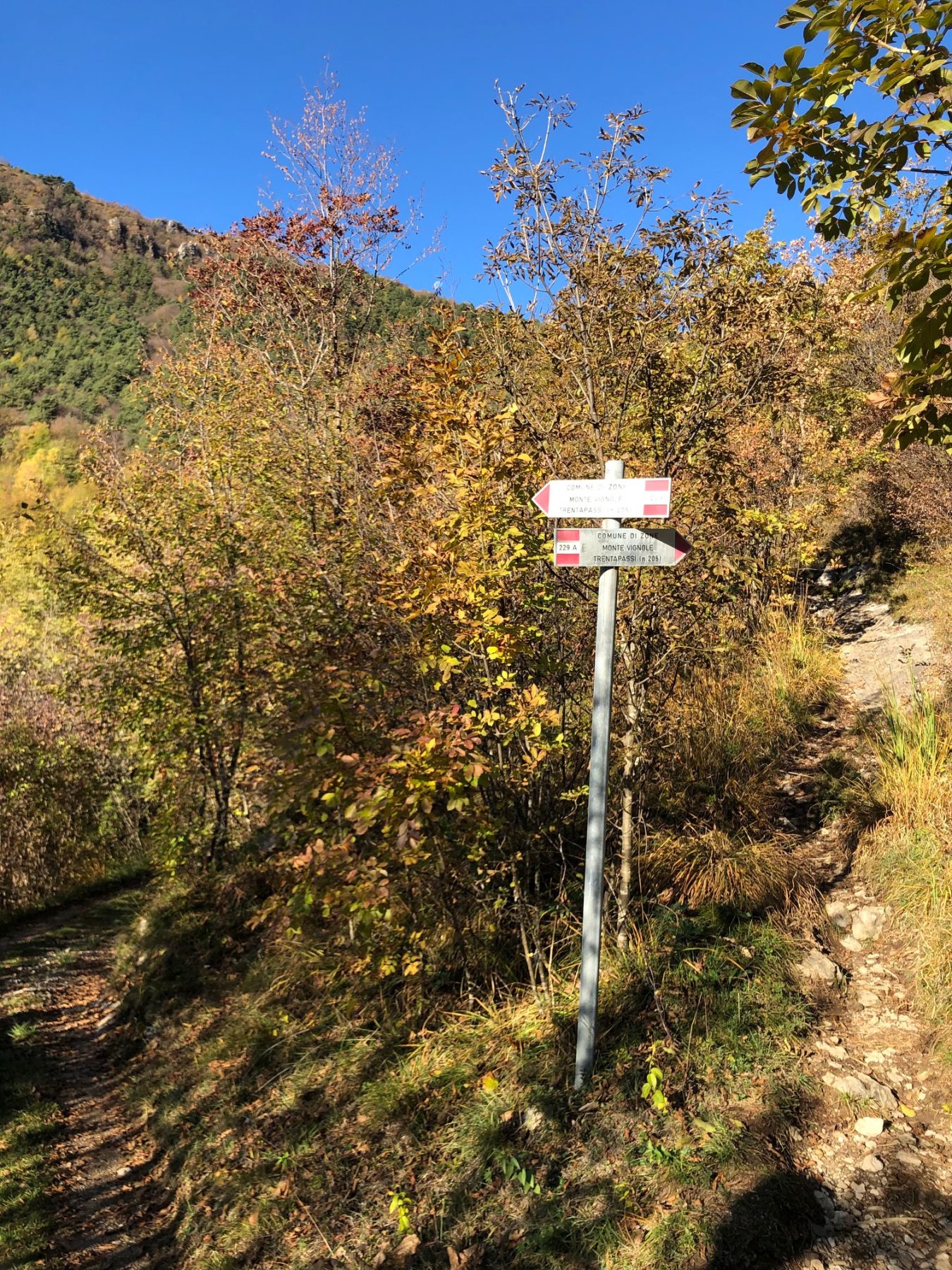
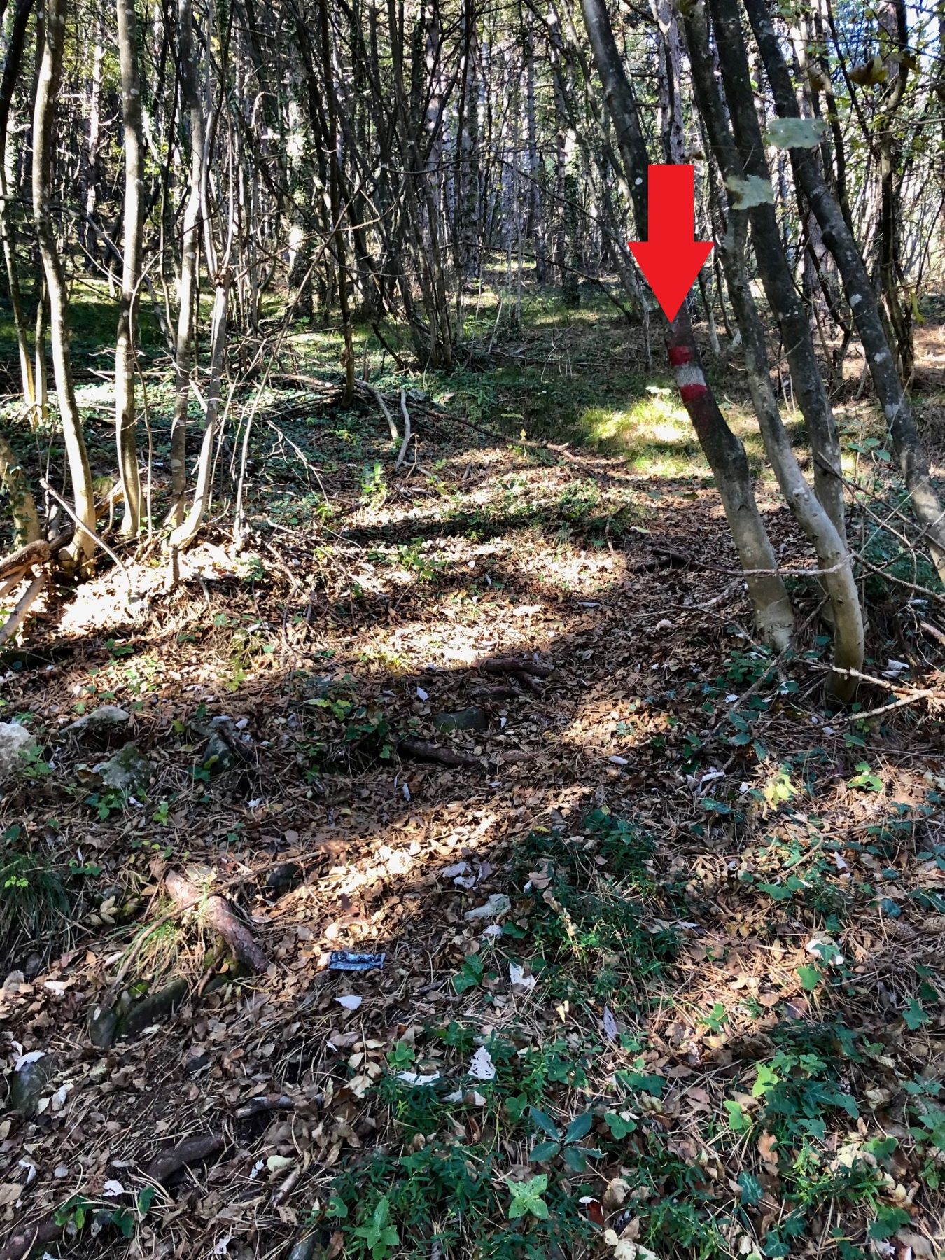
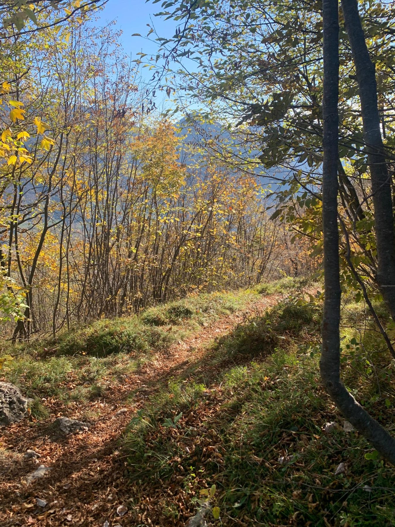
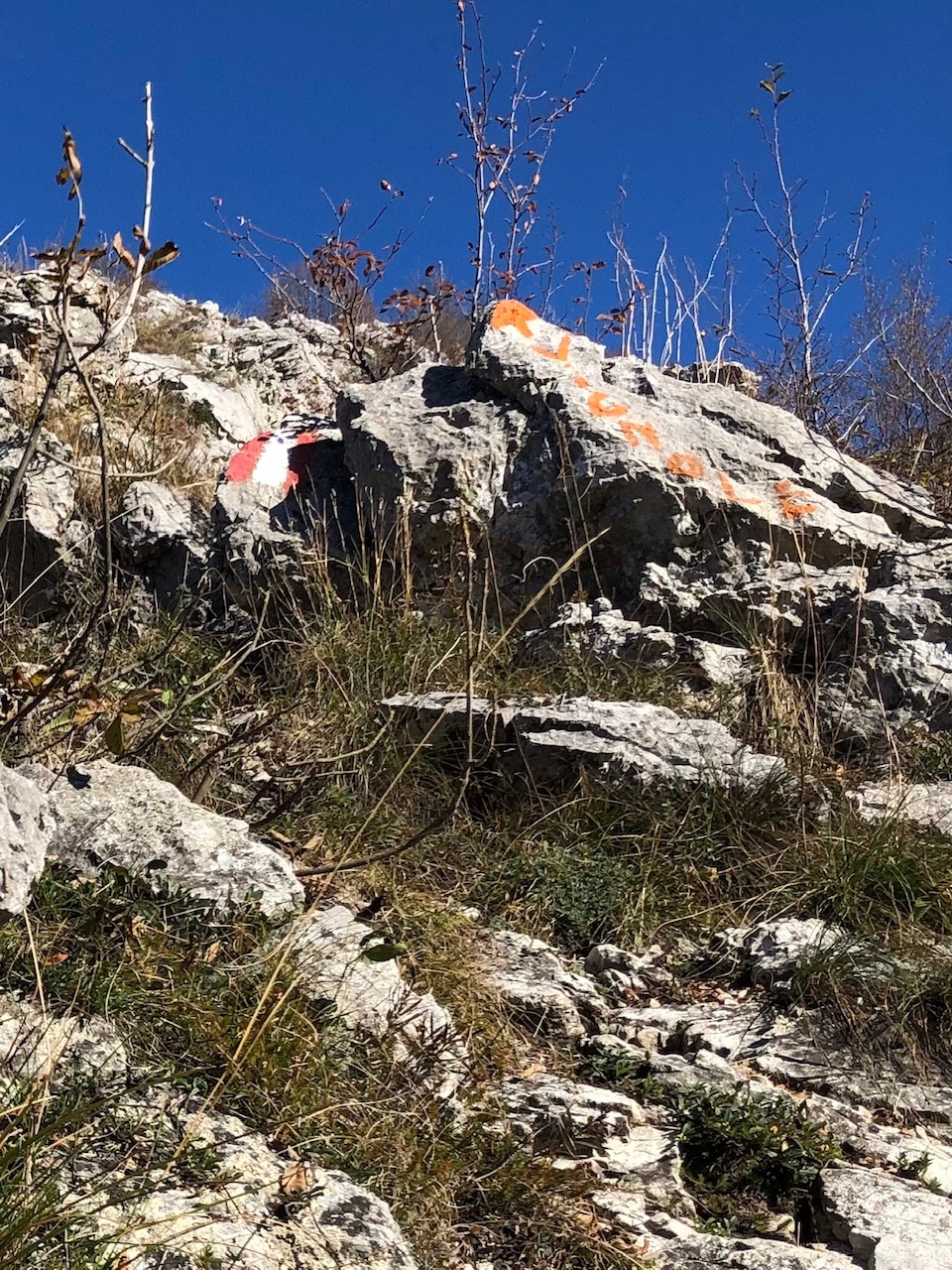
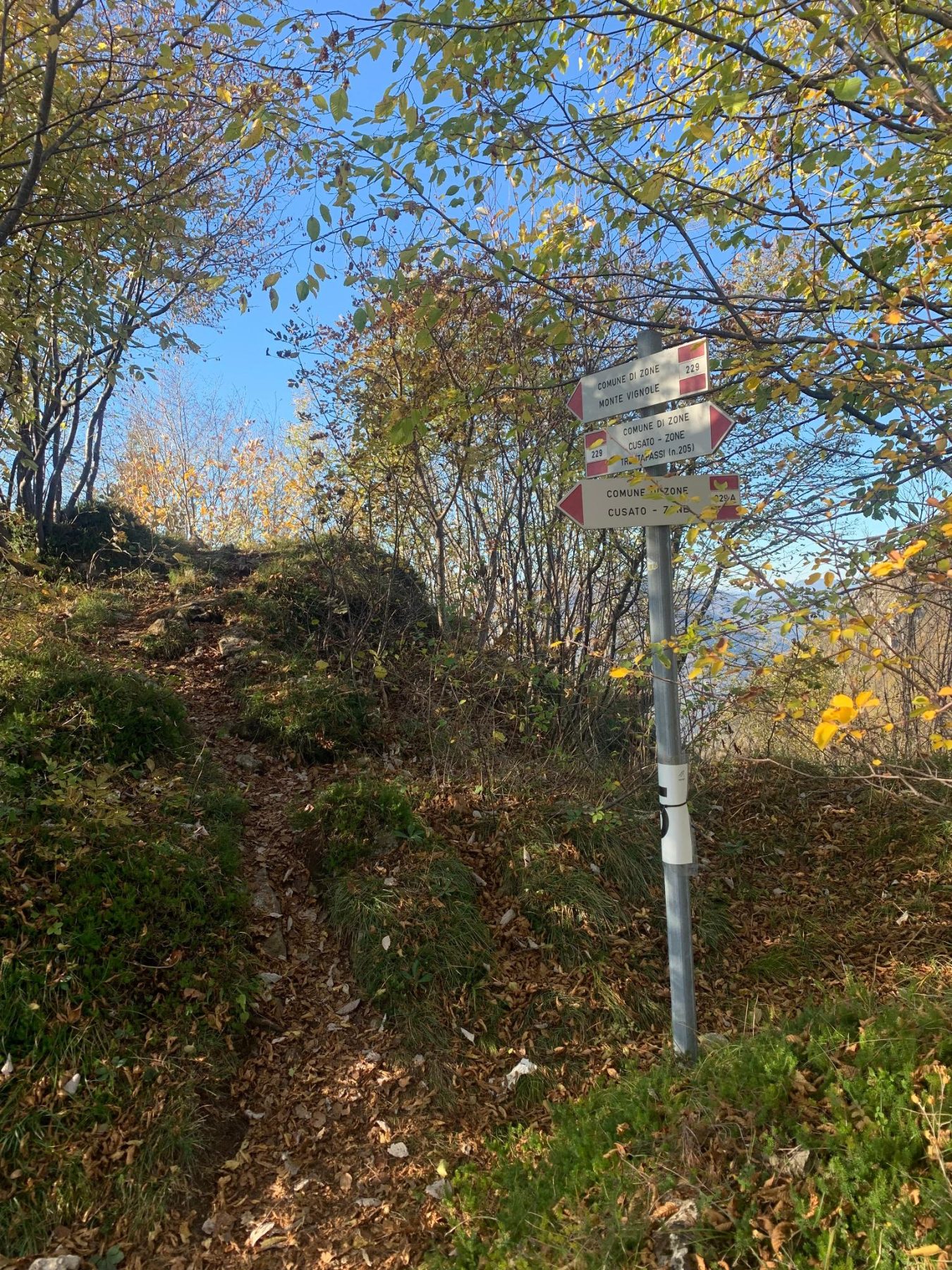
After a small picnic area, turn left and start the steep climb. At the crossroads where the CAI paths 229 and 229A signs are located, follow the 229, which goes left. Shortly after, in correspondence of a private property with a house, it is necessary to follow the indication of the path placed on a stone, on the right. You then enter a wood with oaks, firs, birches and some hornbeams. Here, you have to pay attention to the white and red signs placed on a stone and on a plant, which indicate that the path turns right.
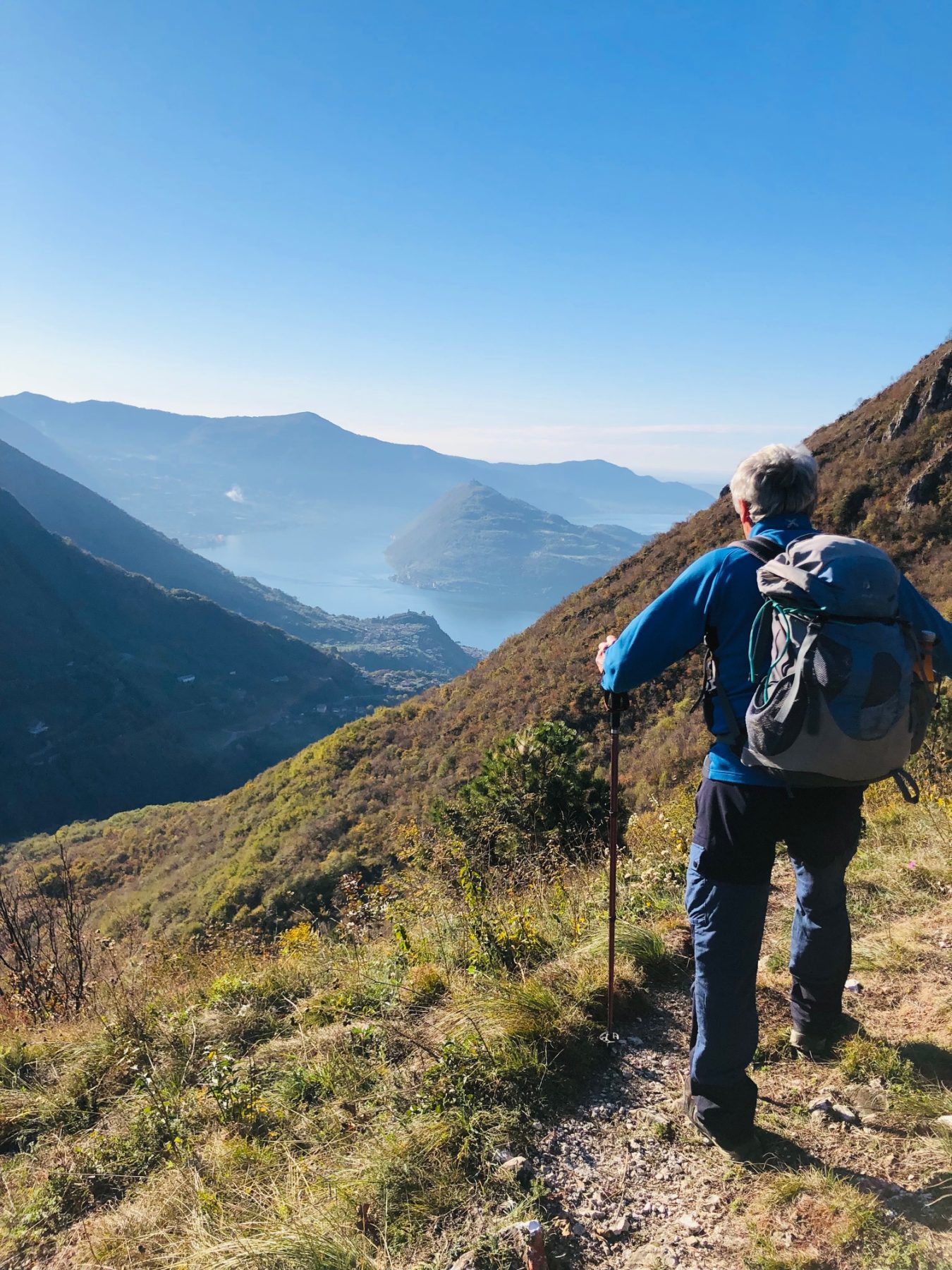
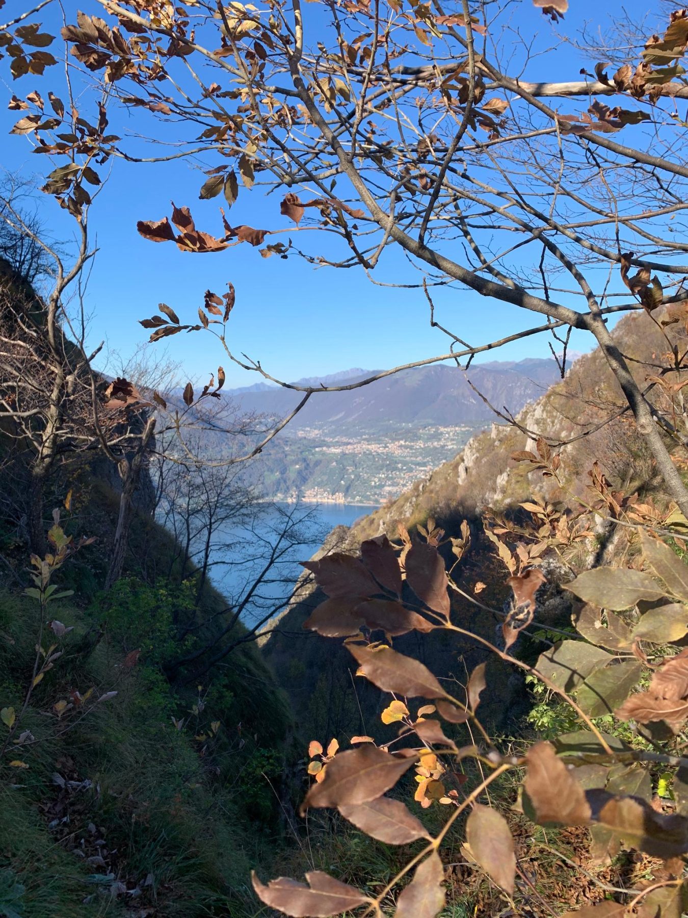
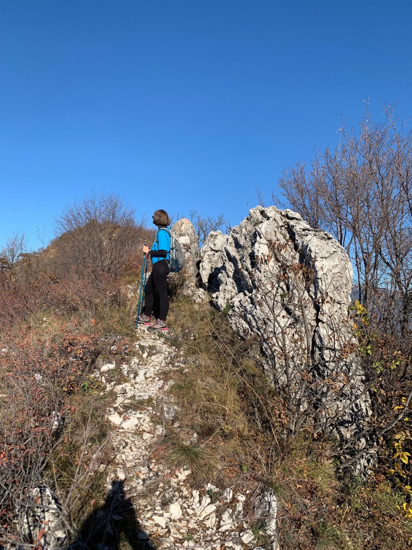
Outside the wood you will encounter the first views of Lake Iseo and Monte Isola. Continuing the climb you reach the “Forcellino del Gadöl”, where you turn right, always following the signs for Monte Vignole, of which you can see the first rocks.
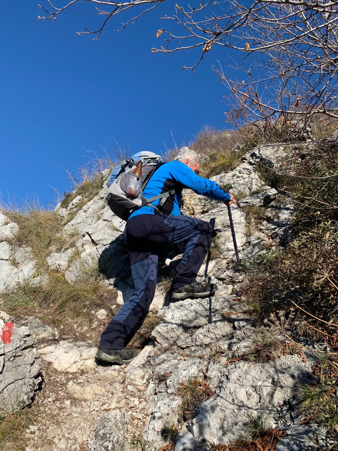
You then begin to walk along the crest of the mountain, which is the most demanding, but at the same time most scenic part of the itinerary. You may need to use your hands to cling to the rocks.
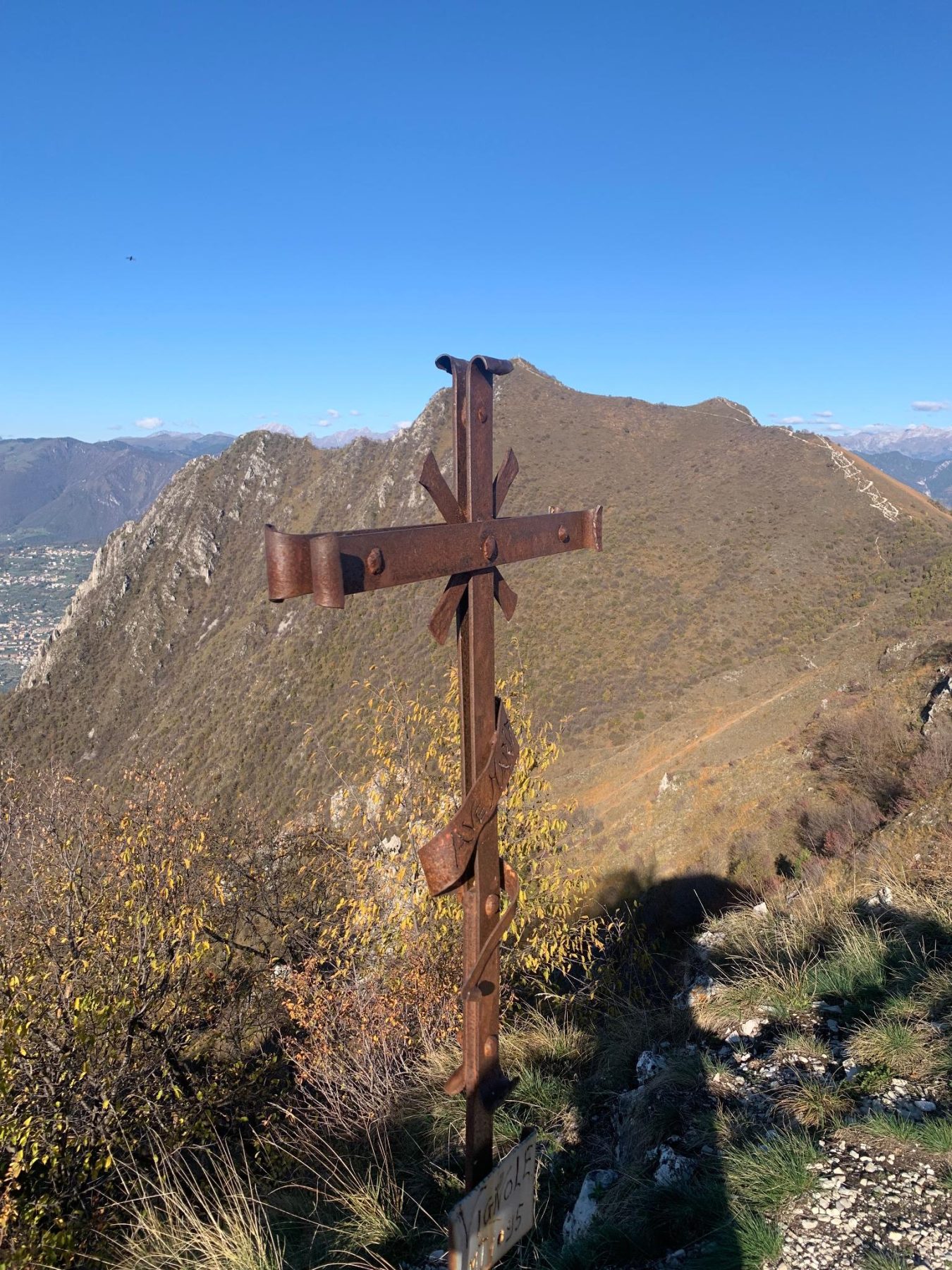
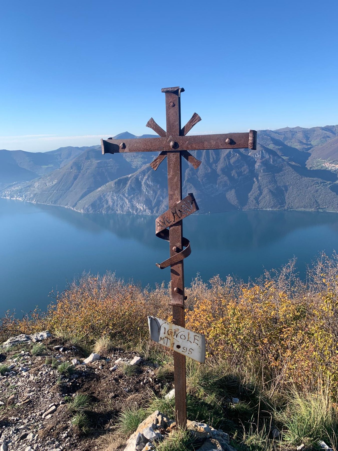
Once you reach the top – where a cross is placed – you can enjoy the wonderful view of Corna Trentapassi, Monte Guglielmo, Lake Iseo and the Pre-Alps. Then continue along the ridge and, after pleasant ups and downs, you arrive at a crossroads where you continue to the right, following the signs for path 229A towards the Municipality of Zone. The itinerary descends into the woods to the meeting point with path 229, used for the ascent, which is followed backwards until reaching the starting point.
DE – Die Route beginnt am Parkplatz in der Via Aldo Moro, wo eine Wegbeschreibung zur Corna Trentapassi steht. Man läuft etwa 30 Meter die Straße entlang und biegt an einem weiteren kleinen Parkplatz links in die Via Ciclamino ein. Man geht weiter bis zu einer Kreuzung, wo sich ein kleines Heiligtum an der Steinmauer eines Hauses befindet. Hier ist es notwendig, nach rechts abzubiegen und auf die Wegweiser zum Monte Vignole zu achten, die kaum sichtbar sind, da sie sich mit der Wand verbinden, auf der sie stehen.
Man biegt nach einem kleinen Picknickplatz links ab und beginnt den steilen Anstieg. An der Kreuzung, wo sich die CAI-Pfade 229 und 229A befinden, folgt man der 229, die nach links führt. Kurz danach, in Übereinstimmung mit einem Privatgrundstück mit einem Haus, ist es notwendig, der Markierung des Weges auf einem Stein auf der rechten Seite zu folgen. Dann betritt man einen Wald mit Eichen, Tannen, Birken und einigen Hainbuchen. Hier ist auf die weiß-roten Schilder auf einem Stein und einer Pflanze zu achten, die darauf hinweisen, dass der Weg nach rechts abbiegt.
Außerhalb des Waldes stoßt man auf die ersten Ausblicke auf den Iseosee und den Monte Isola. Wenn man den Aufstieg fortsetzt, erreicht man den Forcellino del Gadöl, wo man rechts abbiegt und immer den Schildern zum Monte Vignole folgt, von dem man die ersten Felsen sehen kann.
Man beginnt dann mit der Wanderung entlang des Bergkamms, dem anspruchsvollsten, aber gleichzeitig landschaftlich reizvollsten Teil der Route. Möglicherweise muss man die Hände verwenden, um sich an den Felsen festzuhalten.
Oben angekommen, wo ein Kreuz aufgestellt ist, kann man die herrliche Aussicht auf die Corna Trentapassi, den Monte Guglielmo, den Iseosee und die Voralpen genießen. Dann geht es weiter auf dem Kamm und nach einem angenehmen Auf und Ab zu einer Kreuzung, wo man rechts weitergeht und den Wegweisern des Weges 229A in Richtung der Gemeinde Zone folgt. Die Route führt hinunter in den Wald zum Treffpunkt mit Weg 229, der für den Aufstieg benutzt wird, dem man rückwärts folgt, bis man den Ausgangspunkt erreicht.
How to arrive and where to park / Anreise und Parkplätze
Follow the signs for Lake Iseo, take the SP 510 – direction Darfo Boario Terme – Zone exit. Continue to the center and then follow the signs for Località Cusato S. Antonio.
Free parking spaces in Cusato S. Antonio, in Via Trenta Passi or in Via Aldo Moro.
DE – Man folgt den Schildern zum Iseosee und nimmt die SP 510 – Richtung Darfo Boario Terme – Ausfahrt Zone. Man fährt weiter bis zum bewohnten Zentrum und folgt dann der Beschilderung zur Località Cusato S. Antonio.
Parkplatz in Cusato S. Antonio, in der Via Trenta Passi oder in der Via Aldo Moro.
Useful info / nützliche Info
Path 229, used for going up, has some particularly exposed sections. It may be necessary to use your hands to cling firmly to the rocks of Monte Vignole.
DE – Der Weg 229, der zum Klettern genutzt wird, hat einige besonders exponierte Stellen. Es kann notwendig sein, sich mit den Händen an den Felsen des Kamms des Monte Vignole festzuhalten.
DETAILS
- Difficulty:
Difficult - Duration:
2 h - Distance:
4,8 km - Elevation gain:
+378 m - Starting point:
Via Aldo Moro, Zone - Arrival point:
Via Aldo Moro, Zone - Trail number:
229/229A
Book now:
Monte Isola and Franciacorta with Susanna Allegri
Lovere
A few steps in Franciacorta, among vineyards and cellars, and in Monte Isola, where the road is comp...
 BOOK NOW
Treasure hunt in Franciacorta
Franciacorta
A fun experience suitable for everyone in the vineyards of Franciacorta: a team orientation test bet...
BOOK NOW
What comes out of the top hat
Lovere
FISH FROM THE HAT AND FIND OUT WHAT YOU HAVE WON! With Susanna Allegri Hiking and MTB guide Trekking...
BOOK NOW
Excursion to the Pyramids of Zone and Corna Trentapassi
Zone
Your perfect day among the natural beauties surrounding Lake Iseo! Ready for an excursion that takes...
BOOK NOW


