Corno panoramic trail
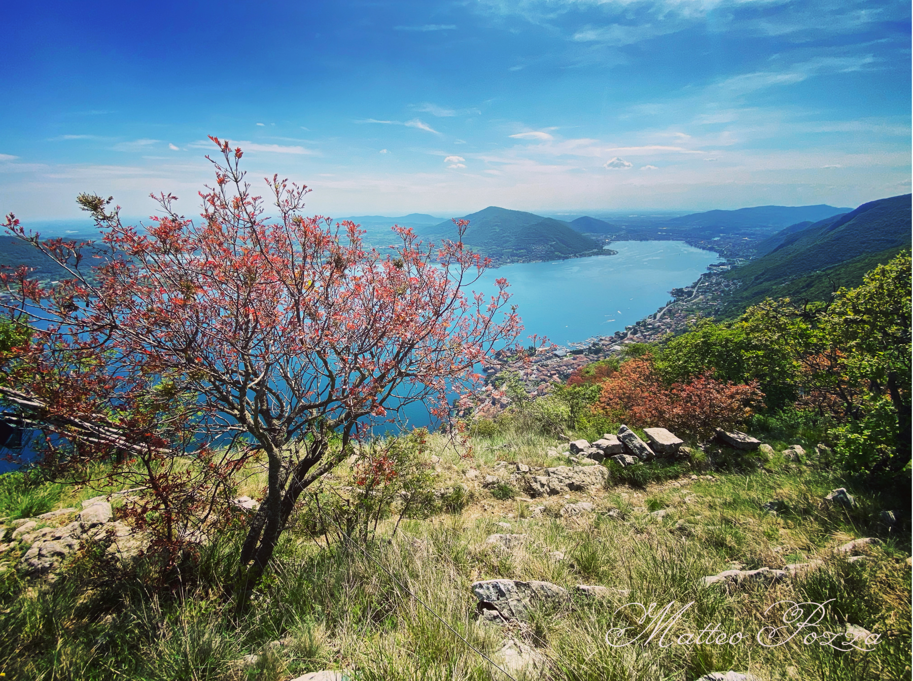
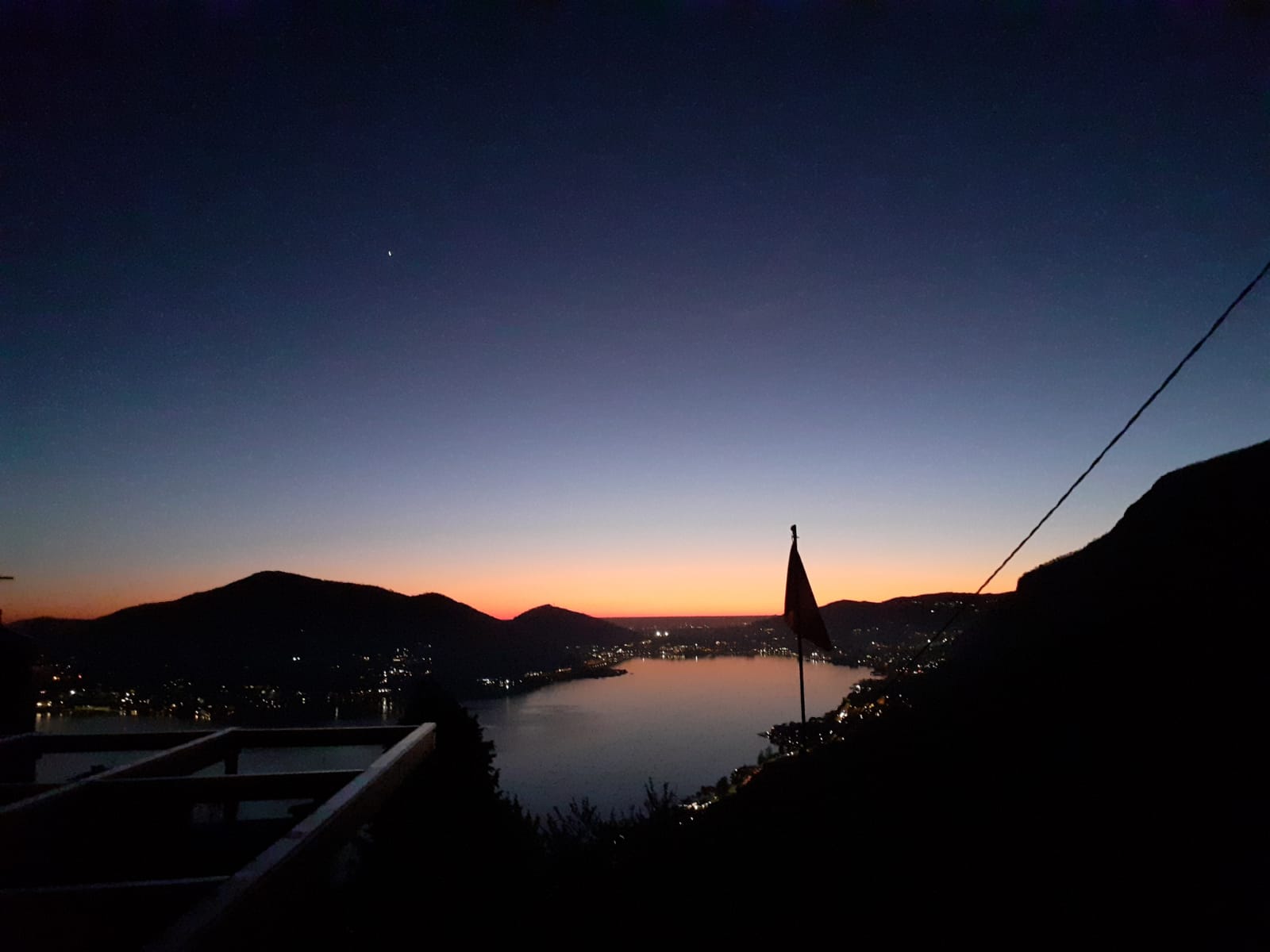
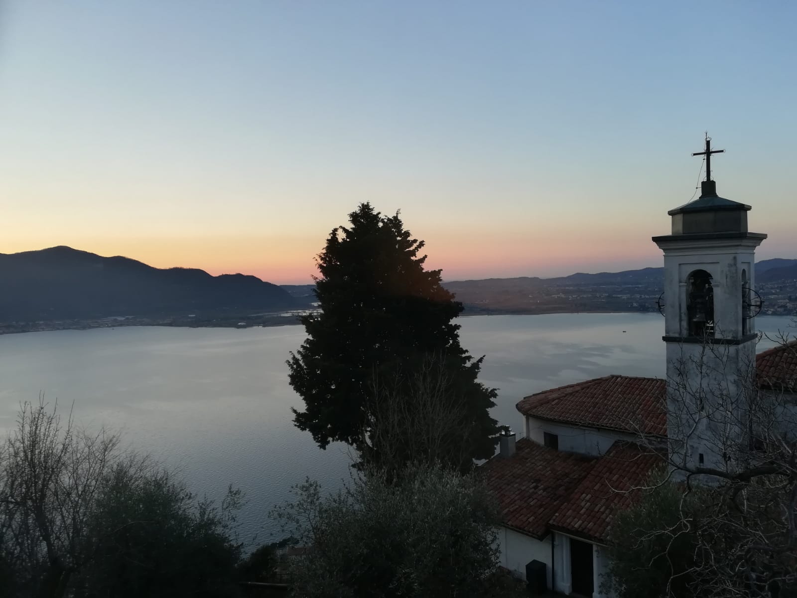
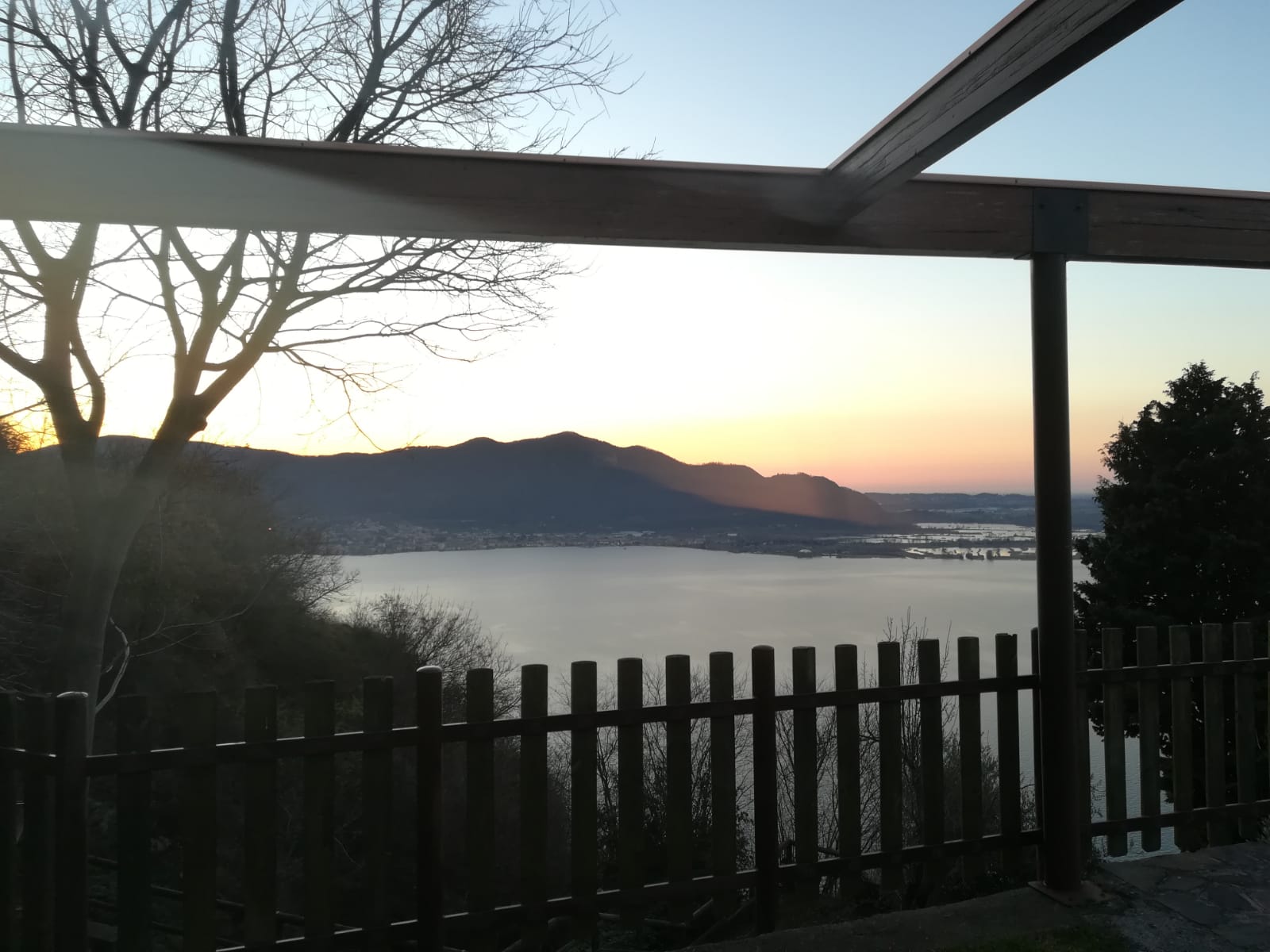
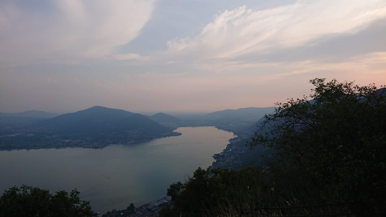
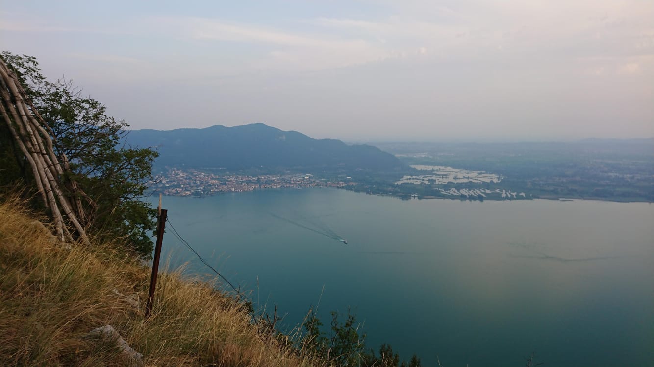
Excursion that from the center of Predore leads to the discovery of the Corno with breathtaking views of Lake Iseo.
DE-Ausflug, der vom Zentrum von Predore aus zur Entdeckung des Corno mit atemberaubenden Ausblicken auf den Iseosee führt.
The trail / der Weg
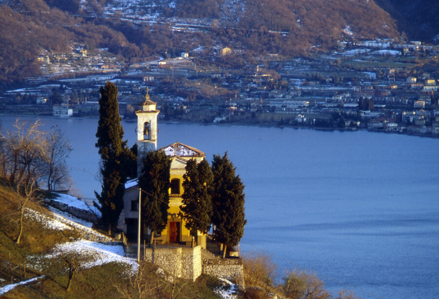
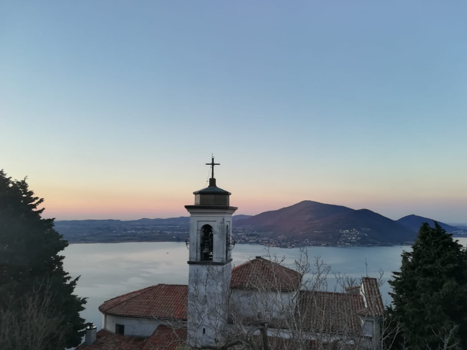
From Vittorio Veneto Square take the steep ascent on the right side of the Rino creek. Pass by the Medieval tower then take the road that goes uphill to the right until you get to the aqueduct. Go right. Take the stairs which will lead you to the Saint Gregorio sanctuary. Continue passing by it, then turn right. Follow the path uphill. Take the track nr. 707 which will lead you to Punta Alta. Then back down to the sanctuary and to the town centre on track nr. 734.
DE – Von Piazza Vittorio Veneto nimmt man die Straße, die in den oberen Teil der Stadt rechts vom Bach Rino führt. Man folgt der steilen Hauptstraße, nach dem mittelalterlichen Turm biegt man rechts ab und erreicht man das Aquädukt des Dorfs. Man geht dann weiter rechts. Nach einigen hundert Metern auf der rechten Seite wird man die Treppe finden, die zum Heiligtum von San Gregorio führt. Danach nimmt man die Straße, die nach Varasca führt. Hier beginnt der Weg mit einem horizontalen Kurs und moderaten Höhen und Tiefen, um in das Dorf von Tavernola zu gelangen. In der Nähe des „Case il monte“ nimmt man den Weg Nr. 707, der vom Ortsteil Moia aufsteigt. Anschließend erreicht man Punta Alta und folgt dem Wegweiser Nr. 734, der nach San Gregorio und dann in die Stadt absteigt.
How to arrive and where to park / Anreise und Parkplätze
Follow the signs to Lake Iseo and take the SP 469 road from Sarnico or to Lovere until you reach the centre of Predore.
Parking spaces in Piazza Vittorio Veneto or in Piazza Achille e Cesare Bortolotti.
DE – Man muss den Anfahrtbeschreibungen für den Iseosee folgen und die SP 469 von Sarnico oder Lovere bis zum Zentrum von Predore nehmen.
Parkplatz in Piazza Vittorio Veneto oder in Piazza Achille e Cesare Bortolotti.
Credits: Amministrazione Comunale, Gruppo Alpini e Proloco Eventi Predore
DETAILS
- Difficulty:
Medium - Duration:
3h 30 min - Distance:
7,5 km - Elevation gain:
+800 m - Starting point:
Piazza Vittorio Veneto, Predore - Arrival point:
Piazza Vittorio Veneto, Predore - Trail number:
733 - 707


