
Giro dei Colli Trail
16.8 km ring route with departure and arrival in the parking space of Piazza Fontane Vecchie, near Vigolo’s town hall.
DE – Dieser Rundgang ist 16,8 km lang, mit Abfahrt und Ankunft auf dem Parkplatz in Piazza Fontane Vecchie, in der Nähe vom Vigolos Rathaus.
The trail / der Weg
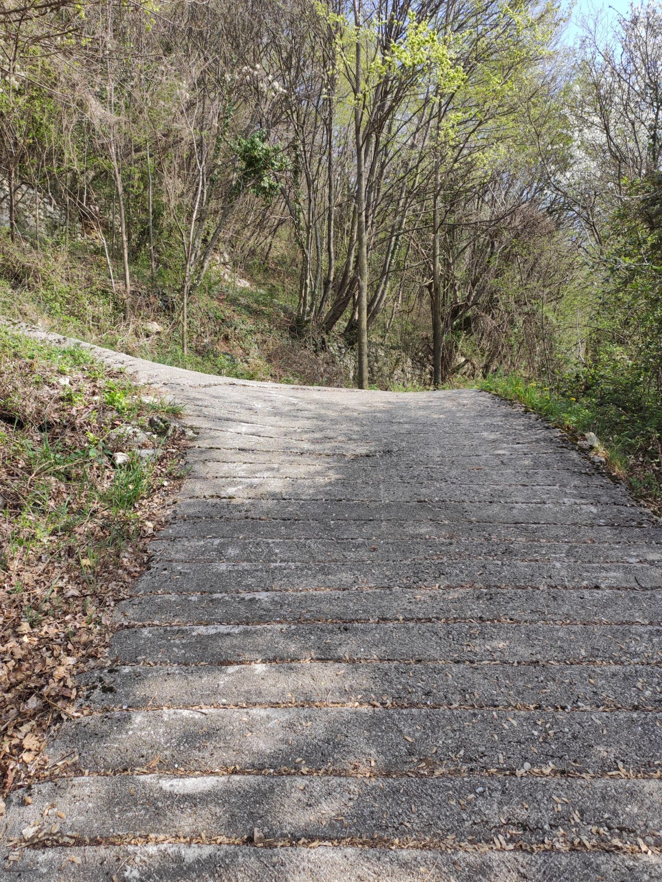
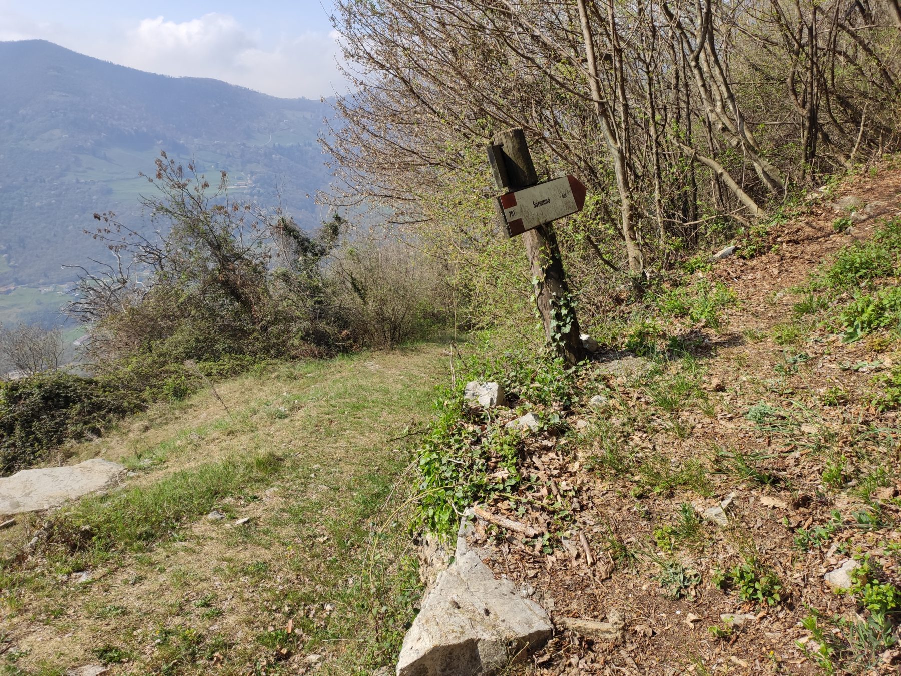
Take via Roma, turn left into via Monsignor Adobati and continue along via Costa up to the trail signpost 701 for Pozza Alta.
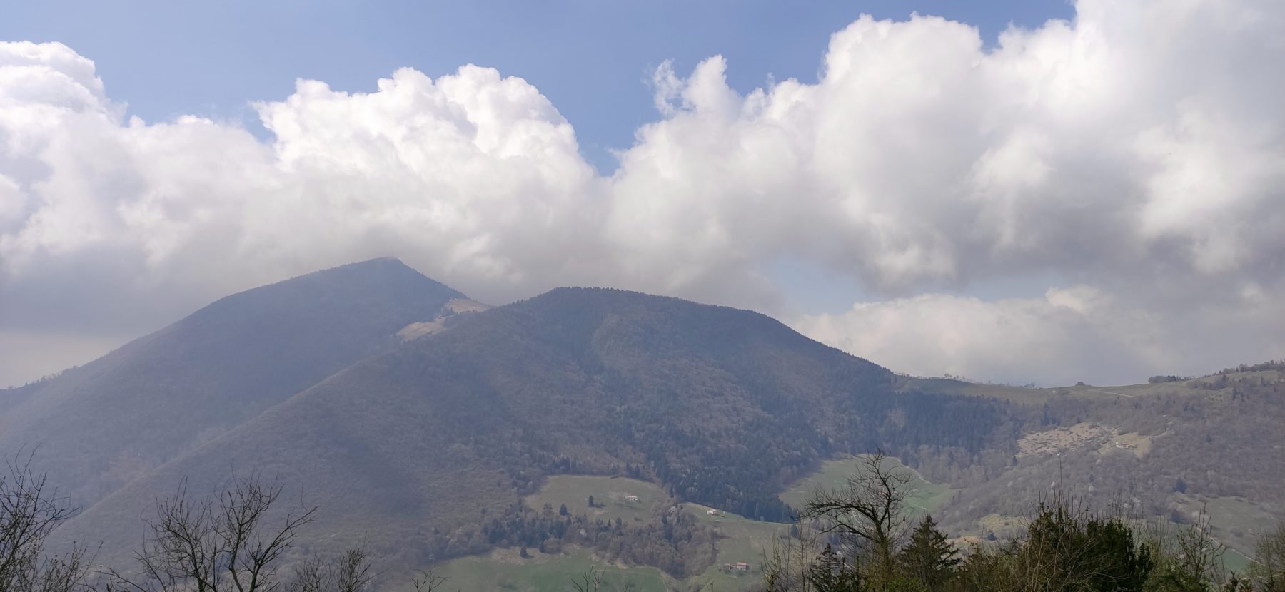
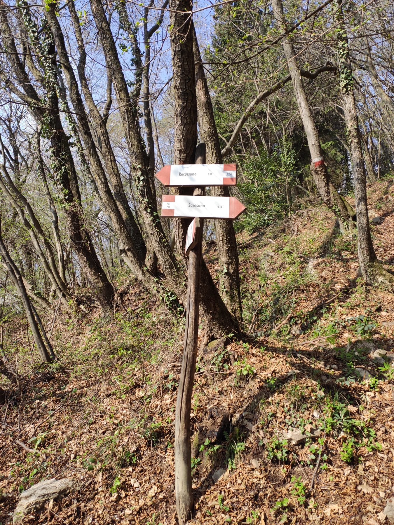
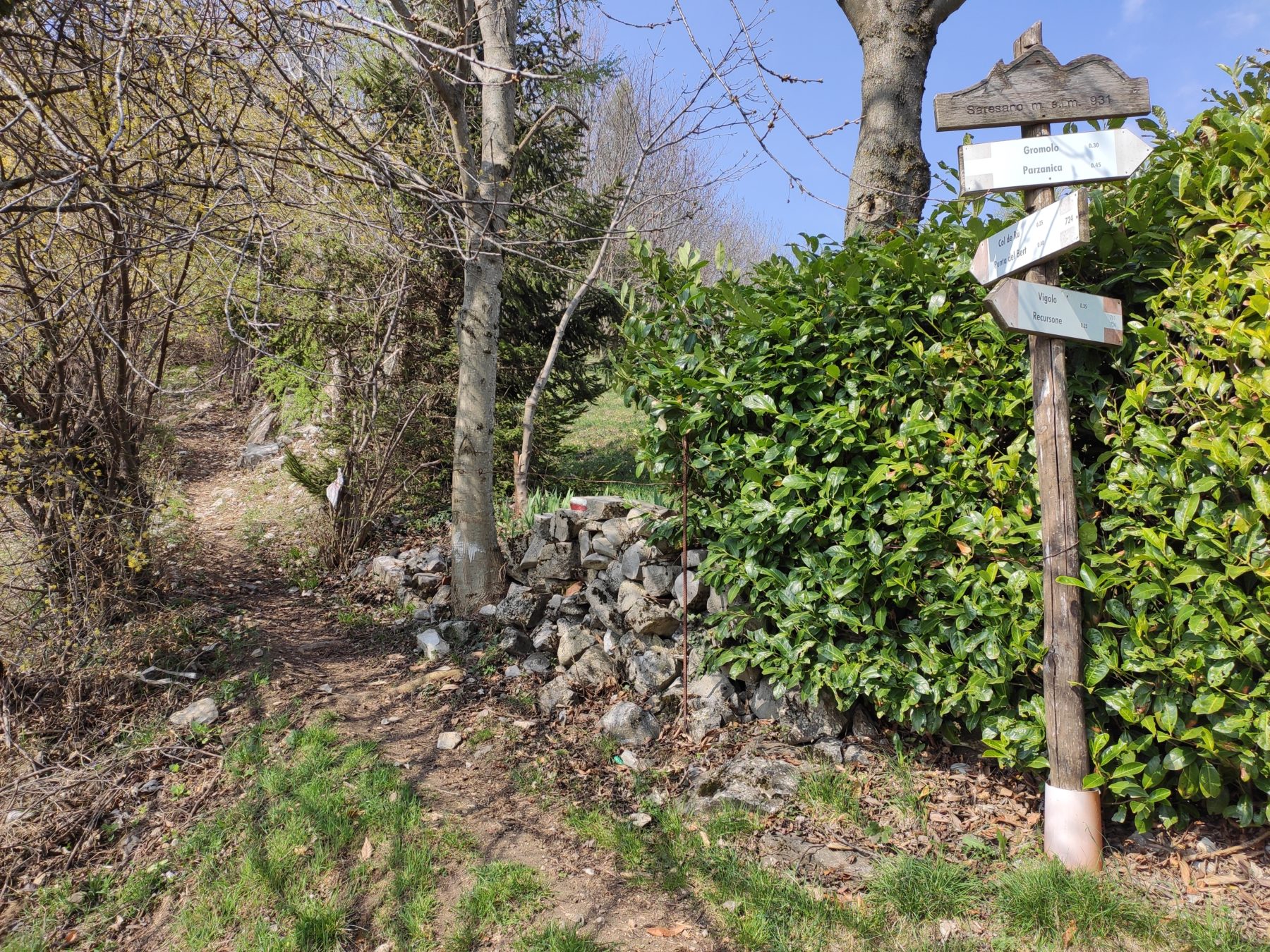
Take path 724, towards Foppelle – Monte Cremona – Col de RU – Colle Mandolino – Col Trei, follow the path 701 Punta del Bert – Colle Cargadura – Foppa di Volpe, turn left following the signpost TCP towards Colle Martinazzo – Colle Dedine and, continuing on path 727, you arrive at the Gombo Alto hut (1194 mt s.l.m.).
Then go down towards la Rolla (TCP) and follow path 757 towards Campolerone; take path 701 again that. from the bridge of Parmerano (552 mt), continues to Clogna and leads to the starting point.
DE – Man nimmt via Roma, man biegt links in via Monsignore Adobati ein und geht weiter über via Costa bis zur Wegmarkierung 701 nach Pozza Alta. Man nimmt den Weg 724 in Richtung Foppelle – Monte Cremona – Col de RU – Colle Mandolino – ColTrei. Danach folgt man dem Weg 701 Punta del Bert – Colle Cargadura – Foppa di Volpe, man biegt links ab und folgt dem Wegweiser TCP in Richtung Colle Martinazzo – Colle Dedine und, weiter auf dem Weg 727, erreicht man die Gombo Alto Hütte (1194 m über dem Meeresspiegel). Man geht dann in Richtung La Rolla (TCP) und folgt dem Pfad 757 in Richtung Campolerone. Man nimmt erneut den Weg 701, der von der Parmerano-Brücke (552 m) weiter nach Clogna und zum Ausgangspunkt führt.
How to arrive and where to park / Anreise und Parkplätze
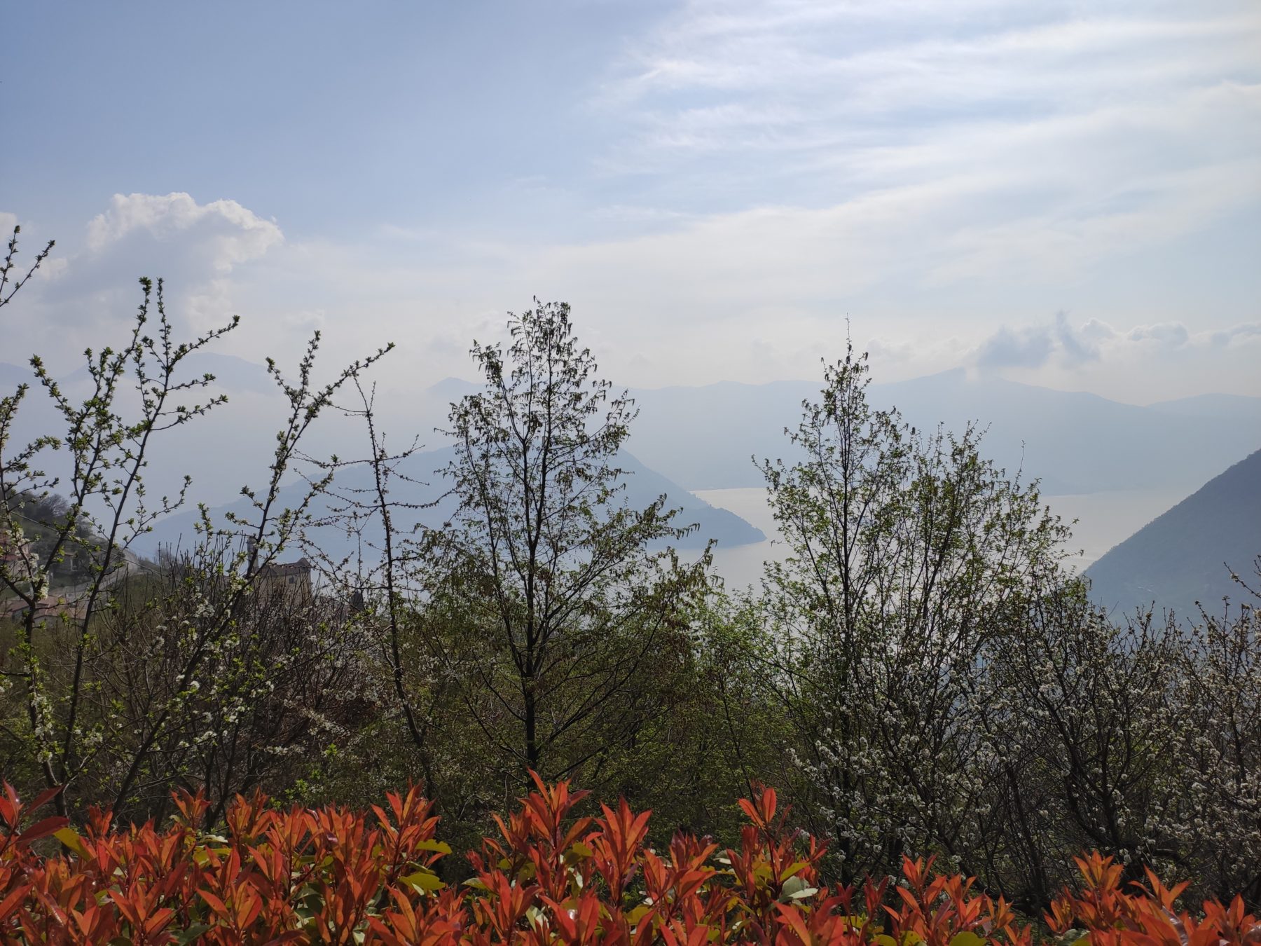
Follow the signs for lake Iseo, namely Sarnico or Lovere depending on where you are coming from. Go along the SP49 until Tavernola Bergamasca and take the SP78 until you reach Vigolo.
Parking space in Piazza Fontane Vecchie.
DE – Man muss den Schildern zum Iseosee folgen, insbesondere nach Sarnico oder Lovere. Man nimmt die Landstraße SP 469 nach Tavernola Bergamasca und fährt dann auf der Landstraße SP 78 weiter nach Vigolo.
Parkmöglichkeiten am Piazza Fontane Vecchie.
Credits: Pro Loco Vigolo
DETAILS
- Difficulty:
Medium - Duration:
4h 30 min - Distance:
16,8 km - Elevation gain:
+642 m - Starting point:
Piazza Fontane Vecchie, Vigolo - Arrival point:
Piazza Fontane Vecchie, Vigolo - Trail number:
701/724/TPC/727/757


