Trekking from Croce di Marone to Monte Guglielmo
This is the most common and shortest route to reach the top of Monte Guglielmo, the locals’ mountain.
DE – Es handelt sich von der üblichsten und kürzesten Route, um den Gipfel des Monte Guglielmo zu erreichen.
The trail / der Weg
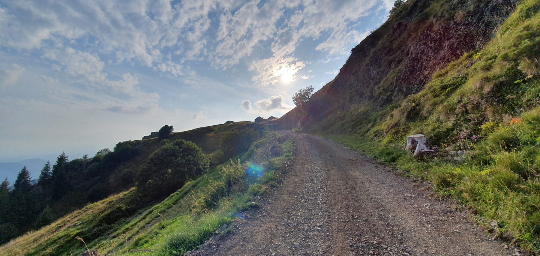
It starts with a moderate climb from the parking lot of theRifugio Croce di Marone and it continues along the mule track. At the first bend, on the right a steep stony path leads more quickly to the Rifugio Malpensata; the road is slightly longer but gentler.
In the locality Malpensata, the two paths join and continue briefly along the road to another crossroads where, on the left, a steep path with 3V white-blue trail markers shortens the path a lot compared to the main road. After a steep stretch in the woods, you reach a clearing from which you begin to admire the top of Monte Guglielmo. Continue on a slight sloping ground and then resume the climb up to a plain dedicated to pasture.
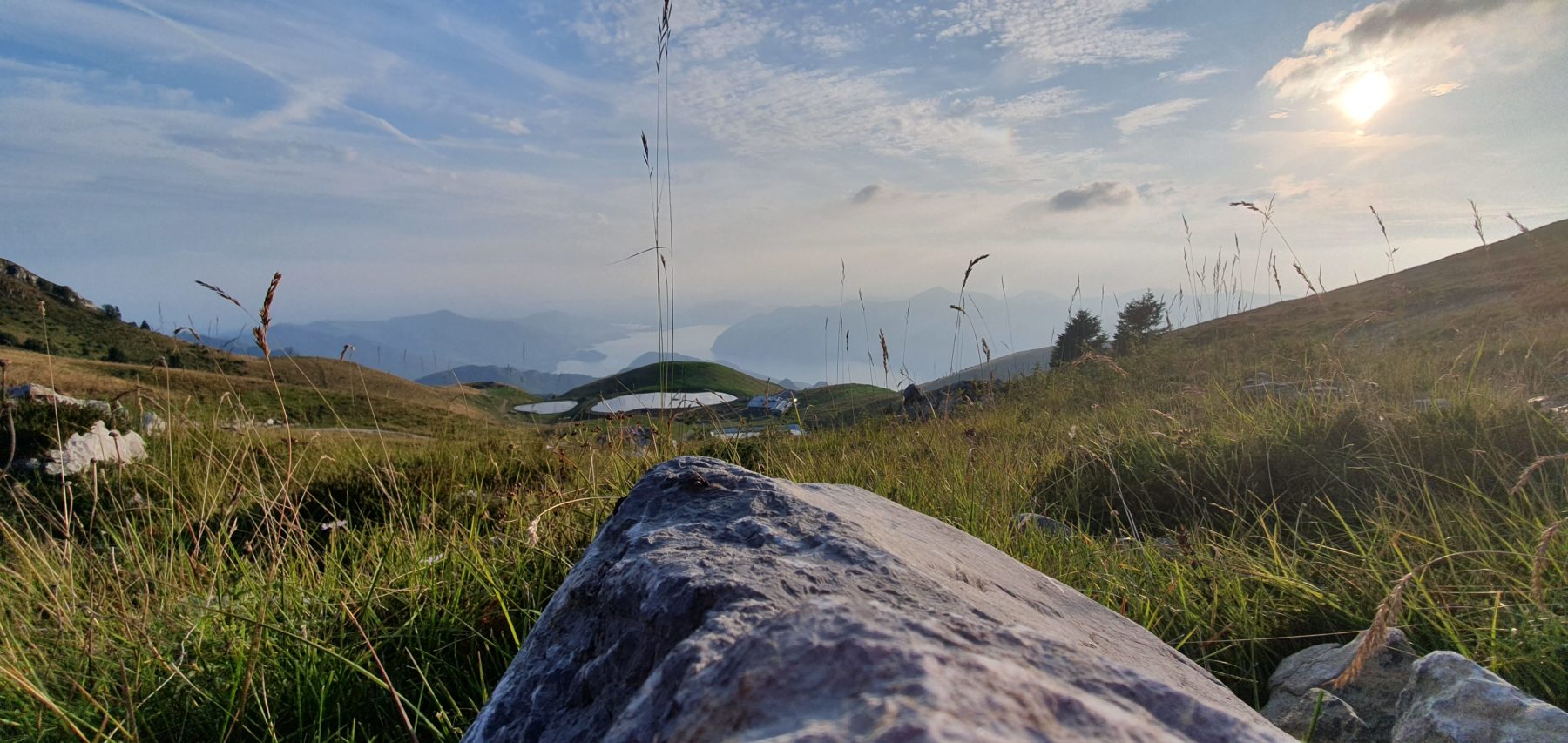
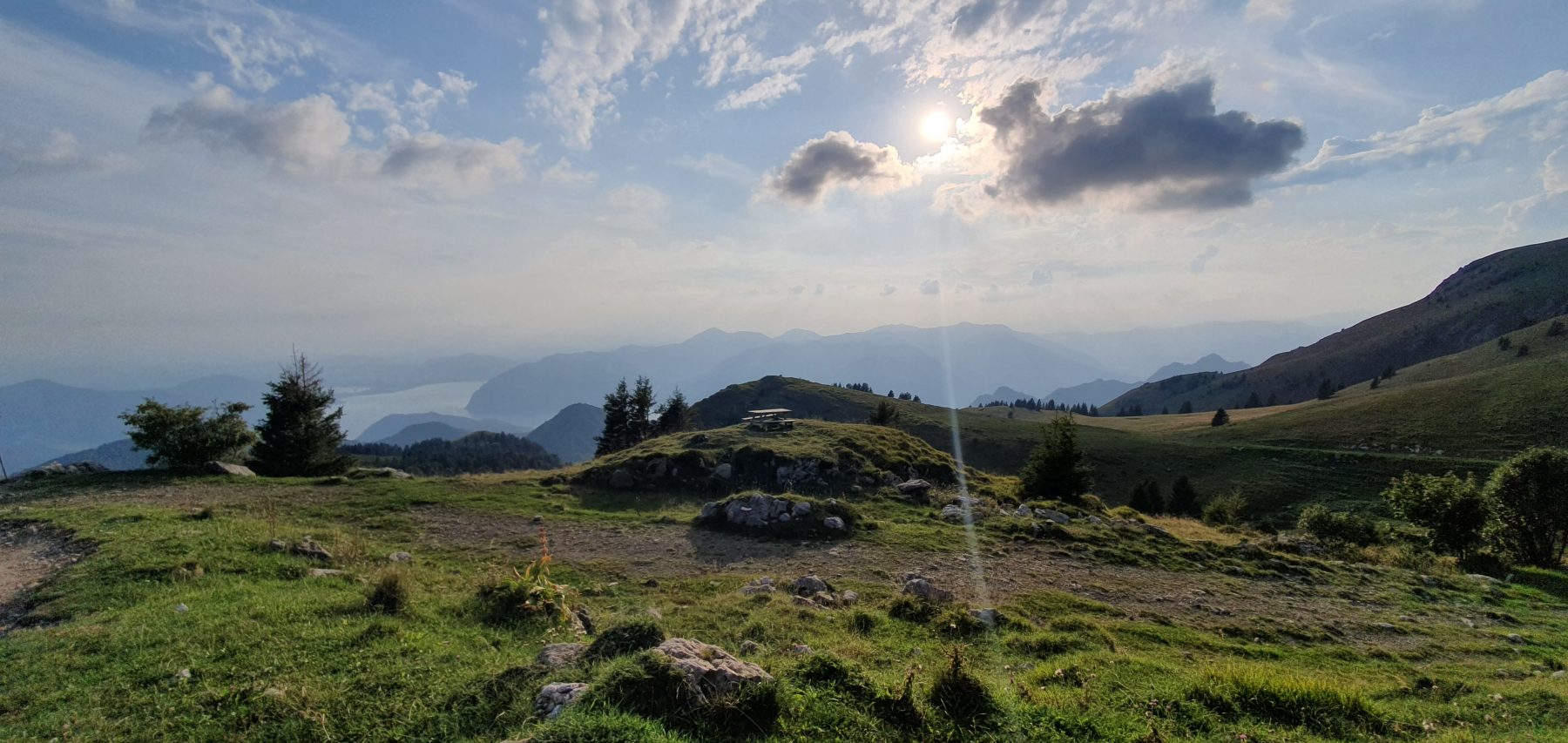
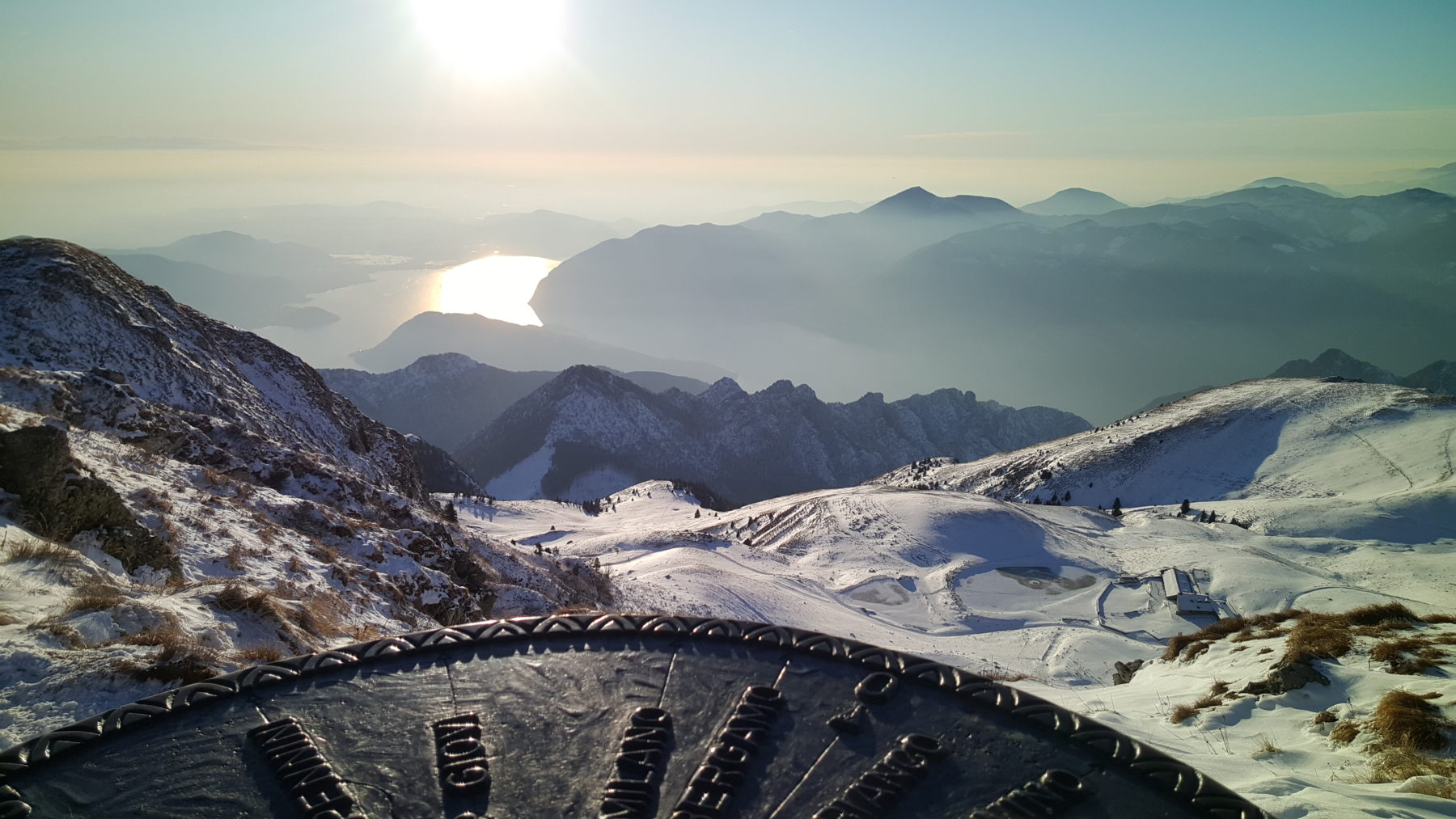
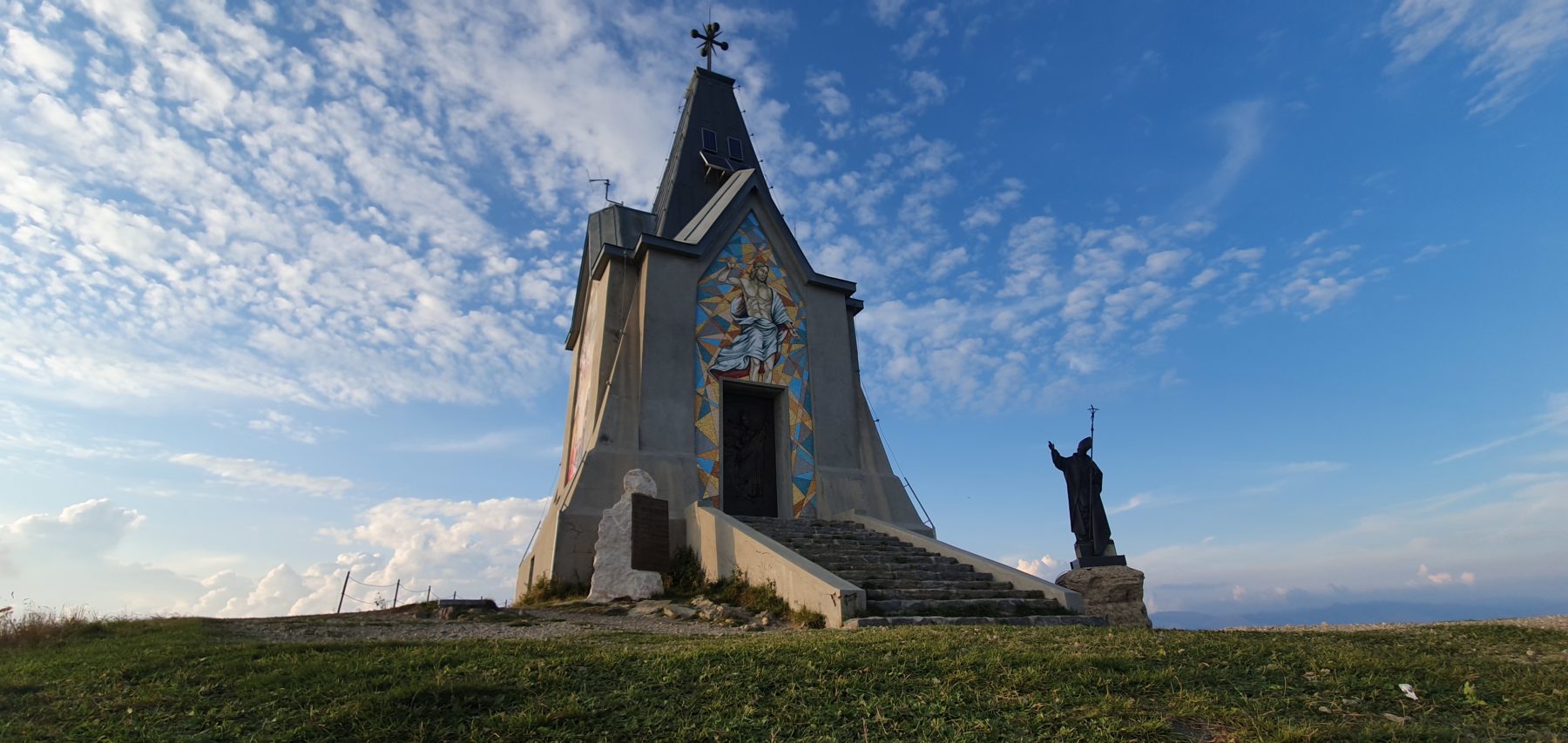
The path runs along a low wall to the Malga Guglielmo di Sotto, where you return on the mule track. From this point there are no further deviations. Continue along the road until you reach the pasture plateau and the Malga Guglielmo di Sopra, which is peculiar thanks to the presence of small lakes. Follow on the mule track that takes up again and leads to Malga Guglielmo di Sotto and, shortly after, to Rifugio Almici. On the right of the hut, a path goes up along the ridge and reaches in about ten minutes the top of Monte Guglielmo and the Monumento al Redentore, from which the view pays for every effort.
DE – Vom Parkplatz Rifugio Croce di Marone geht es zunächst mäßig bergauf und dann weiter über den Saumpfad. Bei der ersten Kurve führt rechts ein steiler steiniger Weg schneller zur Malpensata-Hütte; Die Straßenroute ist etwas länger, aber sanfter.
In der Località Malpensata vereinen sich die beiden Routen wieder und gehen kurz auf der Straße weiter, bis zu einer neuen Kreuzung, wo links ein steiler Weg mit einem weiß-blauen Wegweiser 3V abzweigt, der die Route im Vergleich zur Straße deutlich verkürzt. Nach einem steilen Abschnitt im Wald erreicht man eine Lichtung, von der aus man den Gipfel des Monte Guglielmo bewundern kann. Man geht weiter auf einem leichten Gefälle und dann weiter bergauf bis zu einer Ebene, die als Weideland dient.
Der Weg verläuft an einer niedrigen Mauer entlang bis zur Malga Guglielmo di Sotto, wo der Saumpfad wieder aufgenommen wird. Von diesem Punkt an gibt es keine weiteren Abweichungen. Man folgt der Straße weiter, bis man das Weideplateau und die Malga Guglielmo di Sopra erreicht, die sich durch ihre kleinen Seen auszeichnet. Weiter geht es auf dem Saumpfad, der wieder an Höhe gewinnt und zur Malga Guglielmo di Sotto und kurz darauf zum Rifugio Almici führt. Rechts von der Hütte führt ein Weg den Bergrücken hinauf und erreicht in etwa zehn Minuten den Gipfel des Monte Guglielmo und das Erlöserdenkmal, dessen Aussicht jede Anstrengung belohnt.
How to arrive and where to park / Anreise und Parkplätze
On the SP 510, take the exit for Colpiano-Zone. After some hairpin turns along the SP 32, turn right towards “Madonna della Rota”. The road continues narrow but paved and crosses the Opol Valley until you reach Rifugio Croce di Marone in about half an hour.
Parking is charged with “Gratta e Sosta” mode, available at the dispenser.
DE – Man nimmt auf der SP 510 die Ausfahrt Colpiano-Zone. Nach einigen Serpentinen entlang der SP 32 biegt man rechts in Richtung „Madonna della Rota“ ab. Die Straße führt weiter schmal, aber asphaltiert und durchquert das Opol-Tal in etwa einer halben Stunde, bis sie die Hütte Croce di Marone erreicht.
Das Parken wird mit der „Scratch and Park“-Methode bezahlt, die am dafür vorgesehenen Automaten erworben werden kann.
DETAILS
- Difficulty:
Medium - Duration:
2h 30 min - Distance:
5,7 km - Elevation gain:
+750 m - Starting point:
Rifugio Croce di Marone - Arrival point:
Monte Guglielmo - Trail number:
290/3V


