Waterfall Trail
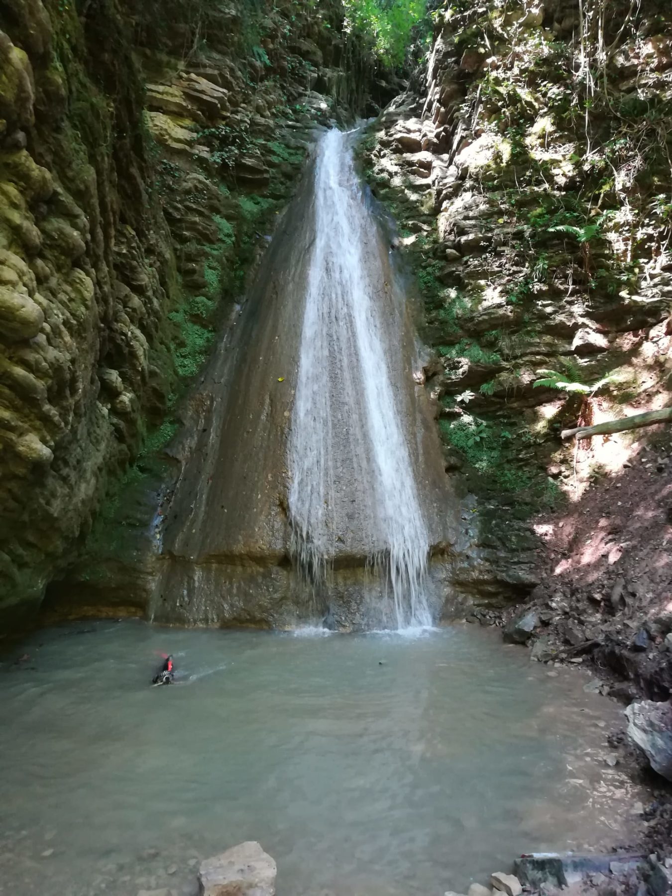
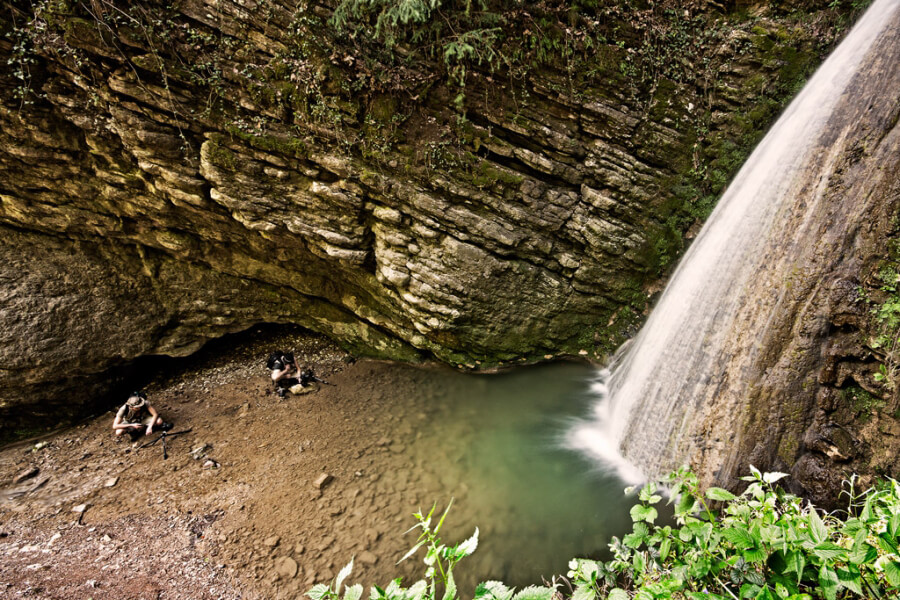
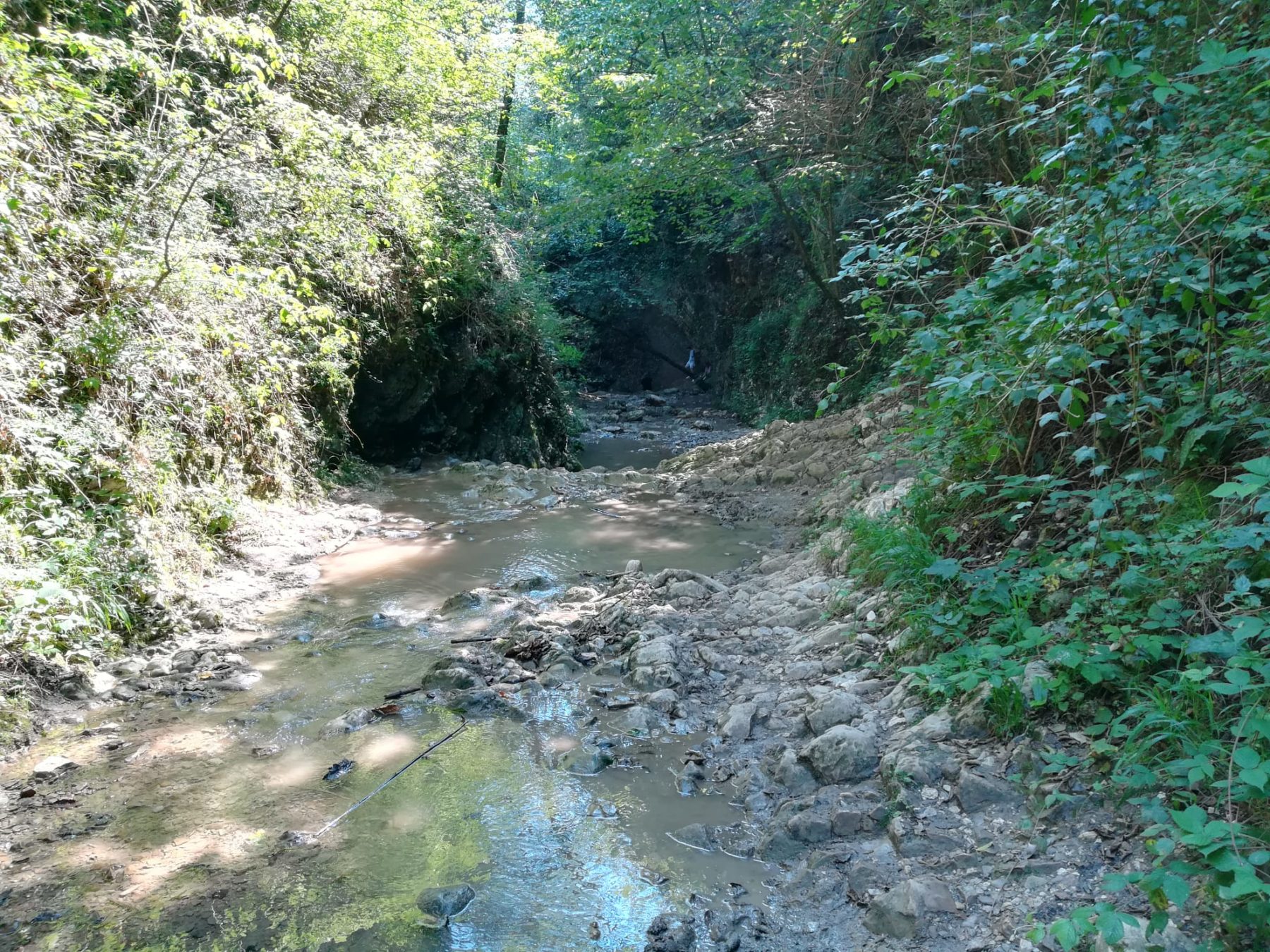
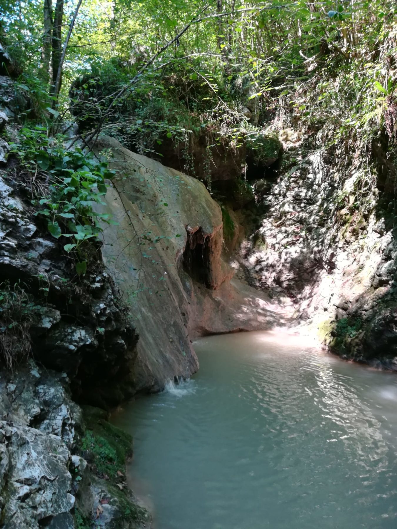
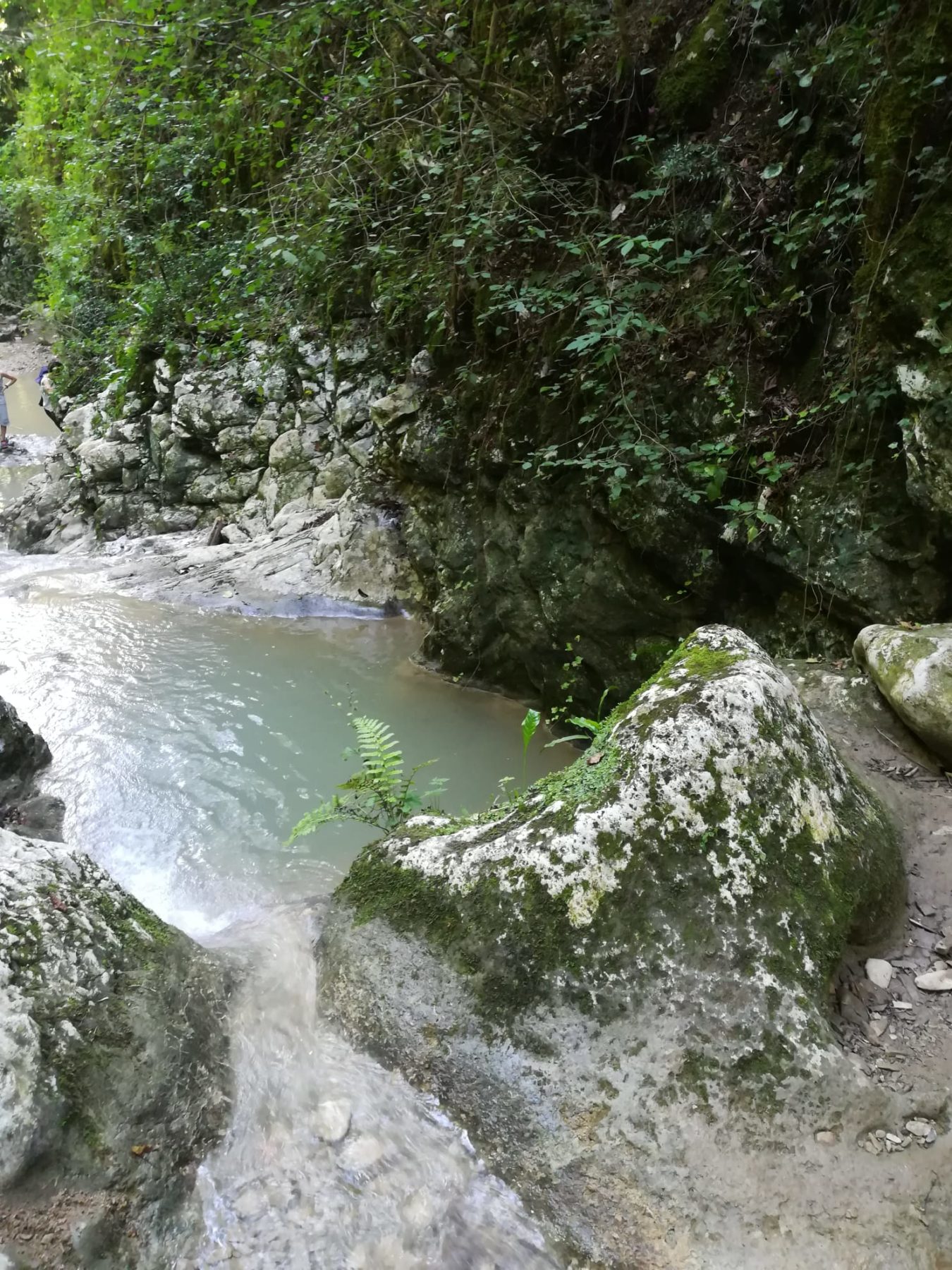
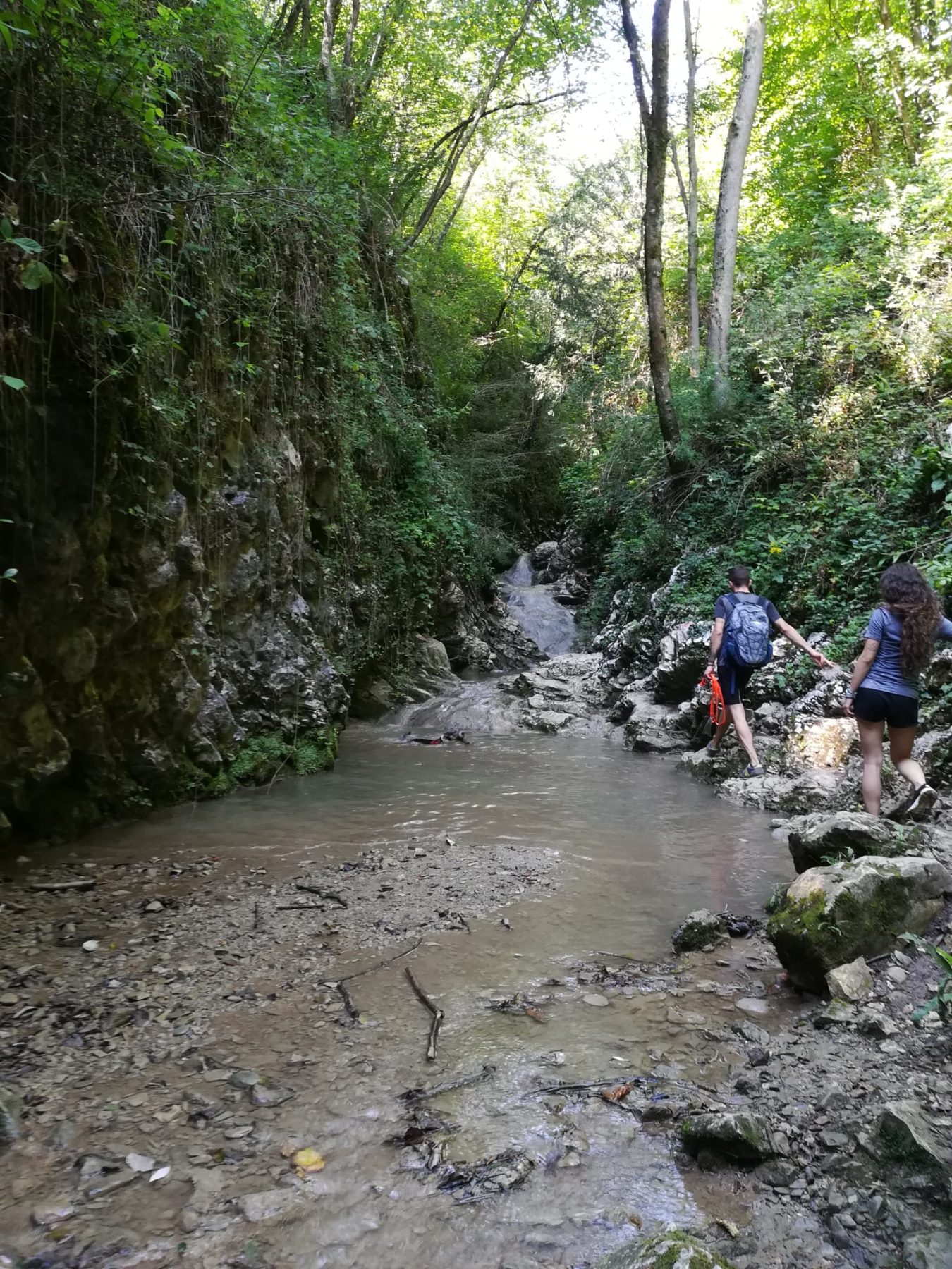
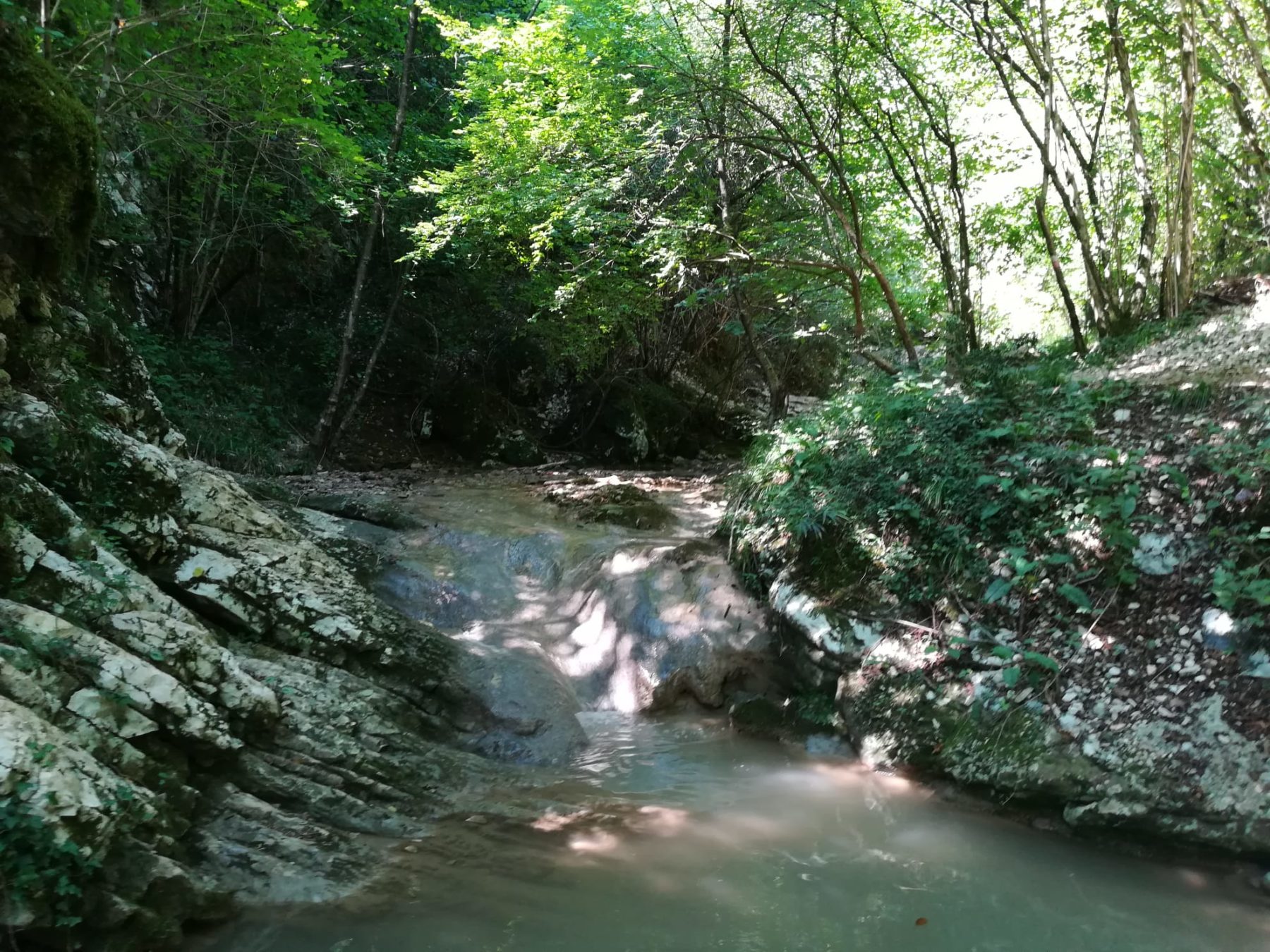
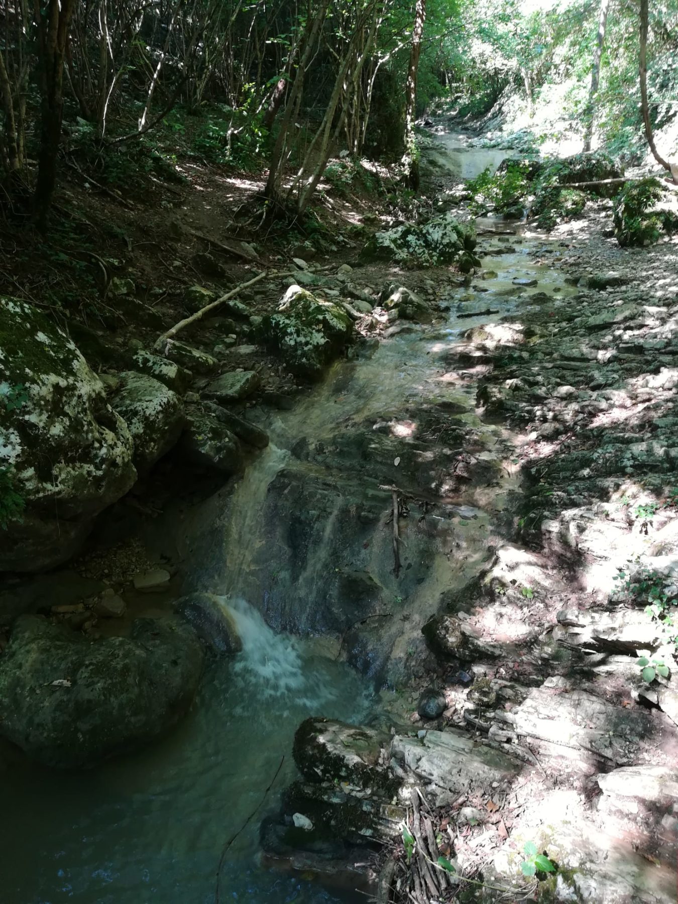
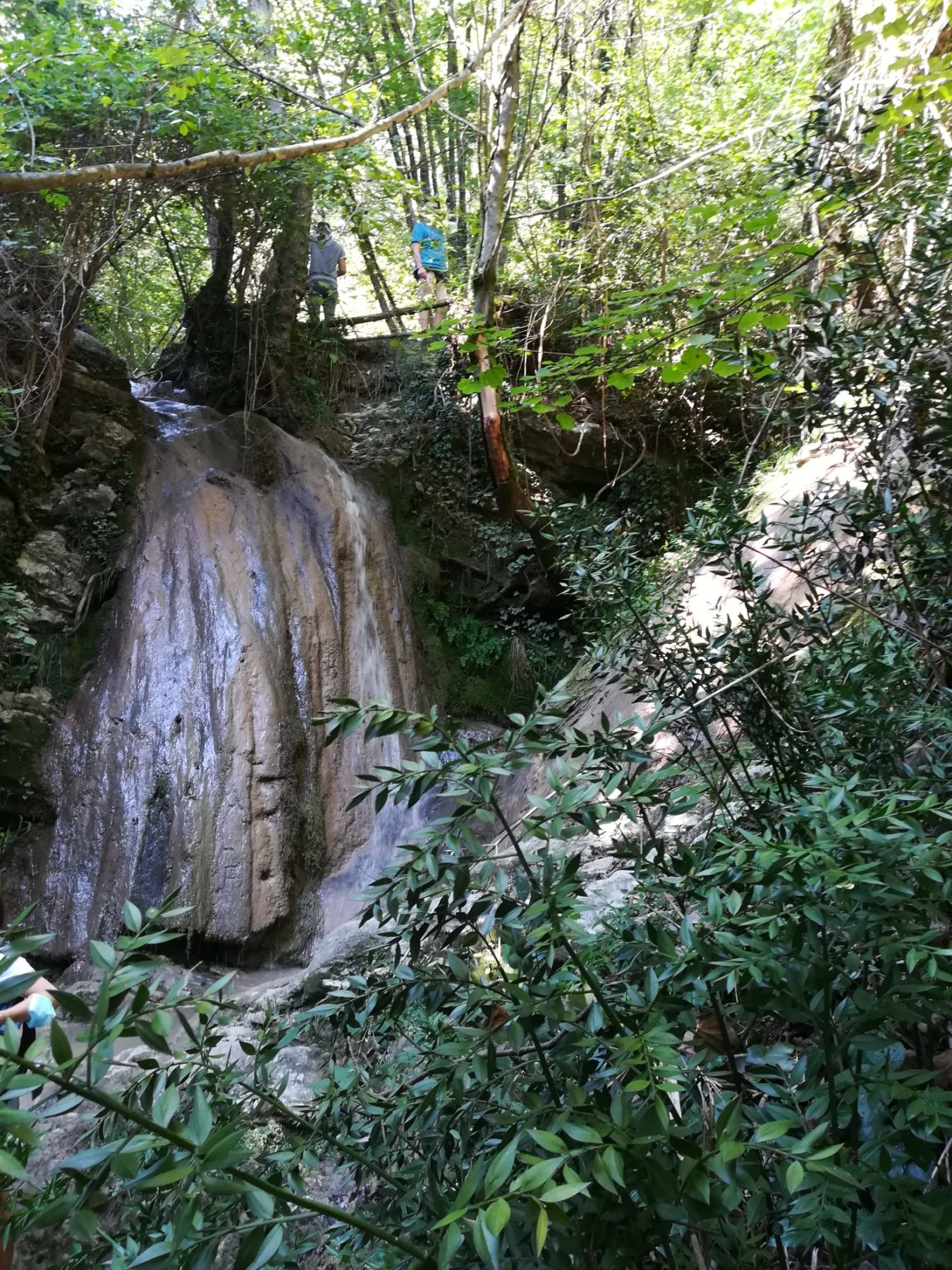
In the Valle di Gaina in Monticelli Brusati the Waterfall Trail is to be found; a naturalistic ring route of particular interest, characterised by the presence of a small canyon made by the erosion of the stream that flows in the area and by a series of small waterfalls.
DE – Im Valle di Gaina in Monticelli Brusati befindet sich der Wasserfallweg; eine naturalistische Ringroute von besonderem Interesse, gekennzeichnet von einer kleinen Schlucht, die durch die Erosion des in der Gegend fließenden Baches und einer Reihe kleiner Wasserfälle entstanden ist.
The trail / der Weg
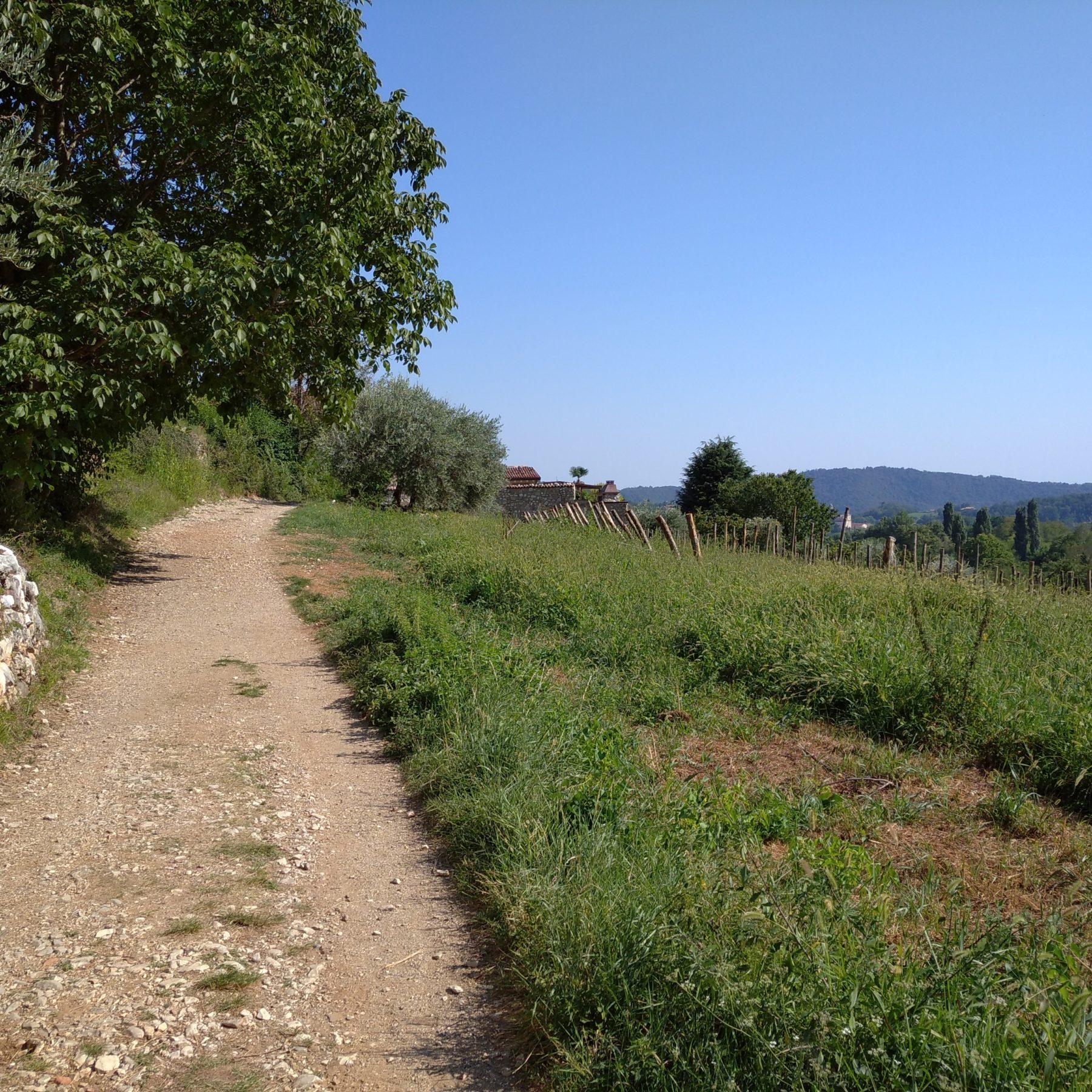
Once in the centre of Monticelli Brusati, leave your car in one of the four parking areas. Walk along Via Foina paying attention to traffic and pass the homonymous hamlet. Continue on the paved road to the intersection with Via Colombaia, where the road changes its name and becomes Via Gaina. The itinerary starts from the hamlet of Gaina, where a white and pink trail sign with the sign “SC” leads along a small road, first paved and then unpaved, to the suggestive stream. There are two proposed routes, but the one described in this case is indicated as “Variant for Experts” for the outward journey and “Variant B” for the return journey. The path descends towards the stream, crossing the small canyon. Passing under a niche in which a Madonnina is kept, alternating repeated passages of the watercourse, you will arrive at the first metal staircase located to the right of a waterfall. After going up, go ahead flanked by some rocky stratifications, crossing, with the help of chains and metal pegs, a narrow gorge worked by the water, until you reach another waterfall that closes the valley. Climb to the left, bypassing the waterfall with the use of a long chain: this is the most challenging passage of the path, to be faced with caution. Shortly after, the path reaches another suggestive waterfall, near which there is a head carved in the rock, called “Mostasù”. Climb the second metal staircase to the left of the waterfall and, after passing it, continue along a path equipped with plasticized metal cable, which leads back to the stream. You cross the watercourse and leave the wood, first reaching the masonry buildings and then a grassy clearing. From here, following the signs for “Variant B”, you go up the valley again for a while until you meet the stream again. Cross it for the last time, moving to the right bank and complete the tour by returning to Gaina.
DE – Im Zentrum von Monticelli Brusati angekommen, stellt man das Auto auf einem der vier Parkplätze ab. Man geht die via Foina entlang (pass auf den Verkehr) und passiert den gleichnamigen Weiler. Man folgt der asphaltierten Straße bis zur Kreuzung mit via Colombaia, wo die Straße ihren Namen ändert und in via Gaina übergeht. Die Route beginnt im Weiler Gaina, wo ein weiß-rosa Wegweiser mit dem Schild “SC” über eine kleine, zuerst asphaltierte und dann unbefestigte Straße zu dem eindrucksvollen Bach führt. Es gibt zwei vorgeschlagene Routen, die hier beschriebene ist jedoch als “Variante für Experten” für die Hinfahrt und “Variante B” für die Rückfahrt gekennzeichnet. Der Weg führt zum Bach hinab und überquert die kleine Schlucht. Unter einer Nische, in der eine Madonnina aufbewahrt wird, vorbei an wiederholten Passagen des Wasserlaufs, gelangt man zur ersten Metalltreppe, die sich rechts von einem Wasserfall befindet. Nach dem Aufstieg geht es weiter, flankiert von einigen felsigen Schichten, durchqueren mit Hilfe von Ketten und Metallpflöcken eine enge, vom Wasser bearbeitete Schlucht, bis man einen weiteren Wasserfall erreicht, der das Tal schließt. Nach links klettern, den Wasserfall mit einer langen Kette umgehen: Dies ist die schwierigste Passage des Weges, bei der man mit Vorsicht vorgehen sollte. Kurz darauf erreicht der Weg einen weiteren eindrucksvollen Wasserfall, in dessen Nähe sich ein in den Fels gehauener Kopf namens “Mostasù” befindet. Die zweite Metalltreppe links vom Wasserfall erklimmt und nach dem Passieren einen mit plastifizierten Metallkabeln ausgestatteten Weg weitergehen, der zurück zum Bach führt. Man überquert den Wasserlauf und verlässt den Wald, erreicht zuerst das Mauerwerk und dann eine grasbewachsene Lichtung. Von hier aus der Beschilderung “Variante B” folgend geht es wieder ein Stück talaufwärts bis man wieder auf den Bach trifft. Man überquert ihn zum letzten Mal, man bewegt sich zum rechten Ufer und beendet die Tour, indem man nach Gaina zurückkehrt.
How to arrive and where to park / Anreise und Parkplätze
For those arriving from Lake Iseo: take the SP 510 towards Brescia – Ome / Monticelli Brusati exit.
For those arriving from Brescia: take the SP 510 towards Lake Iseo, exit Ome / Monticelli Brusati.
Follow the signs for the center of Monticelli Brusati and for the 4 free parking spaces, which are located at different distances from the beginning of the path (P1 – 2.2 km; P2 – 1.9 km; P3 – 1.3 km; P4 – 1 km).
DE – Vom Iseosee: Man nimmt die SP 510 in Richtung Brescia – Ausfahrt Ome / Monticelli Brusati.
Aus Brescia: Man nimmt die SP 510 in Richtung Iseosee, Ausfahrt Ome / Monticelli Brusati.
Man muss der Beschilderung zum Zentrum von Monticelli Brusati und zu den 4 kostenlosen Parkplätzen folgen, die sich in unterschiedlichen Abständen vom Beginn des Weges befinden (P1 – 2,2 km; P2 – 1,9 km; P3 – 1,3 km; P4 – 1 km).
Useful info / nützliche Info
The Waterfall Trail can be done in all periods of the year, even though spring and summer are preferable and it is not advisable to take the path during rainy days. Given the particularity of the path, it is advisable to check its accessibility in advance.
The use of hiking boots and a carabiner to carry out the stretch of aided path is highly recommended.
DE – Der Wasserfallweg kann zu allen Jahreszeiten begangen werden, auch wenn Frühling und Sommer vorzuziehen sind und es nicht ratsam ist, den Weg an Regentagen zu begehen. Aufgrund der Besonderheit des Weges ist es ratsam, die Zugänglichkeit im Voraus zu überprüfen.
Die Verwendung von Wanderschuhen und einem Karabiner zur Durchführung der begehbaren Wegstrecke wird dringend empfohlen.
DETAILS
- Difficulty:
Medium - Duration:
2h 30 min - Distance:
4 km - Elevation gain:
+131 m - Starting point:
Gaina di Monticelli Brusati - Arrival point:
Gaina di Monticelli Brusati


