Tracing the battle of Fonteno
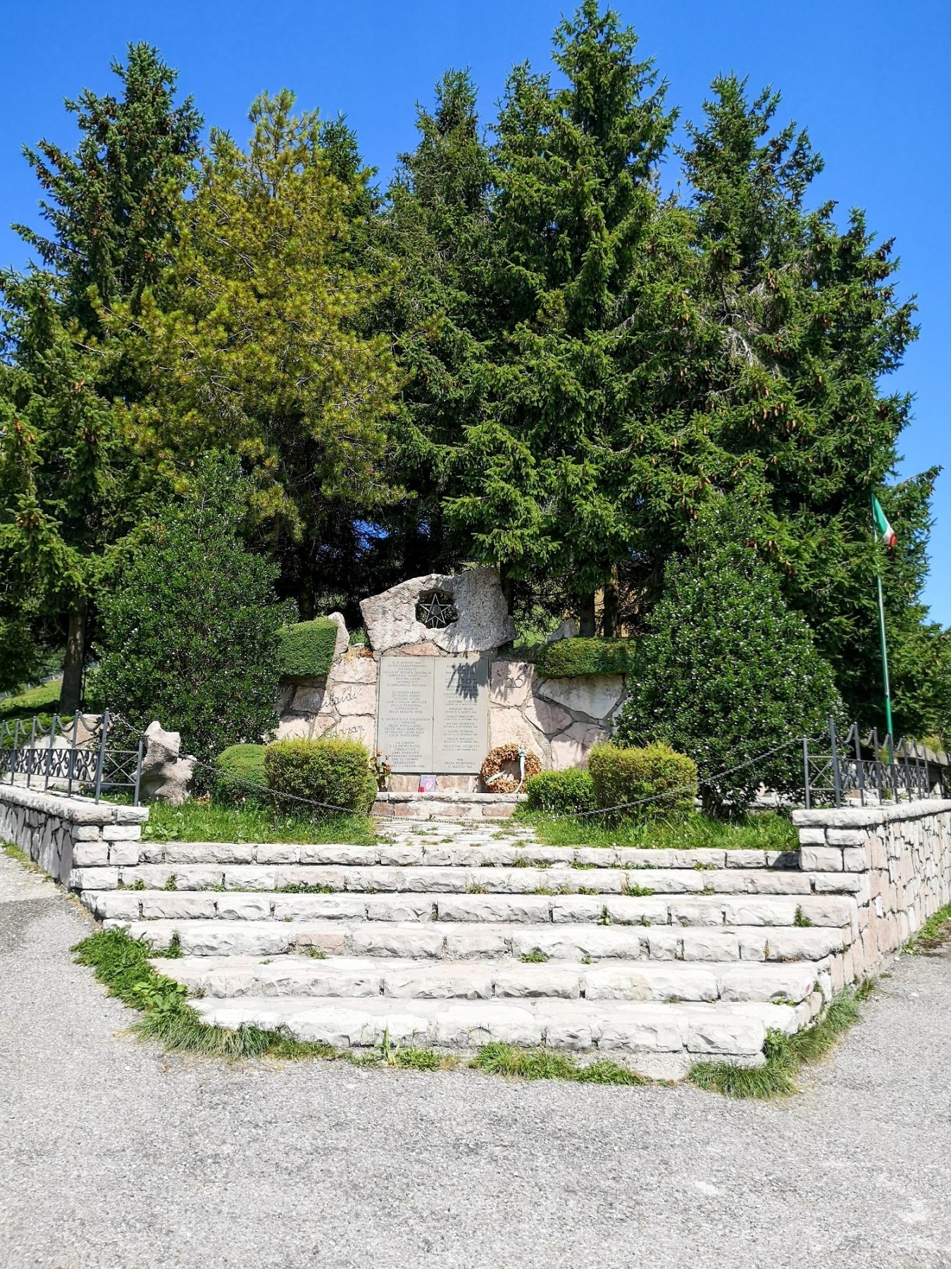
During the Resistance, the Colli di San Fermo assumed particular strategic importance because they allowed the control of the transit of German troops along the Strada Statale del Tonale in the stretch that ran through the Val Cavallina. The Battle of Fonteno on 31st August 1944 was one of the first field military actions by the partisans.
DE – Während des Widerstands erlangten die Hügel von San Fermo eine besondere strategische Bedeutung, da sie die Kontrolle über den Durchgang deutscher Truppen entlang der Staatsstraße Tonale in dem Abschnitt ermöglichten, der durch das Val Cavallina führte. Die Schlacht von Fonteno am 31. August 1944 war eine der ersten Feldkriegshandlungen der Partisanen.
The trail / der Weg
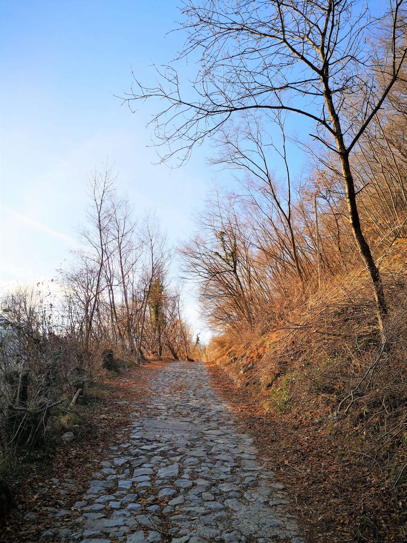
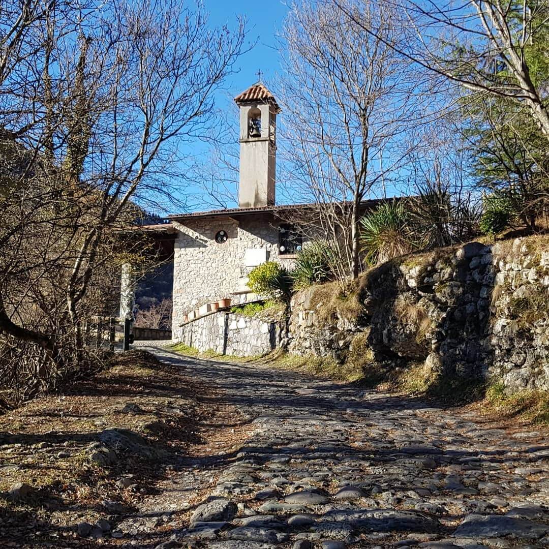
Starting from Piazza Ongaro, walk towards Via Campello, which you follow until the road becomes paved. This is the beginning of the Torrezzo mule track, along which there is the Santello, a small alpine church. At the first crossroads towards Pradetù, keep to the right. A few meters later you meet a second crossroads, where you keep to the left, along a flat stretch.
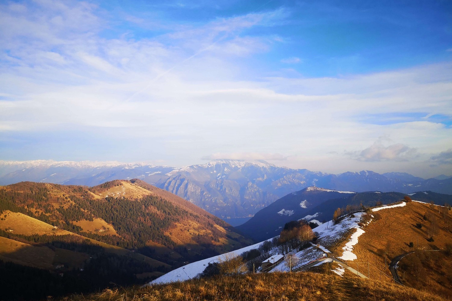
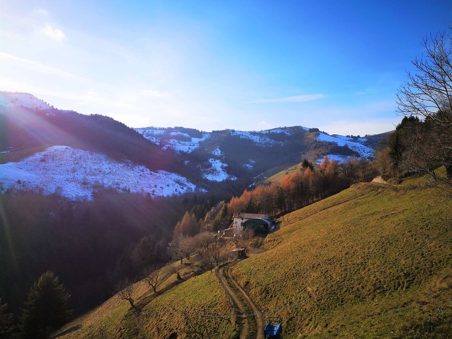
Continuing on the route you reach a covered rest area where you can learn about the abysses that have been discovered in the subsoil of the valley through the information panels. Continue until a new information sign on the caves (near an Enel cabin) and enter a fir forest. At the end of the forest, you are near the peak of Colletto, which is reached through a white road. At the end of the road there is also a geolabium.
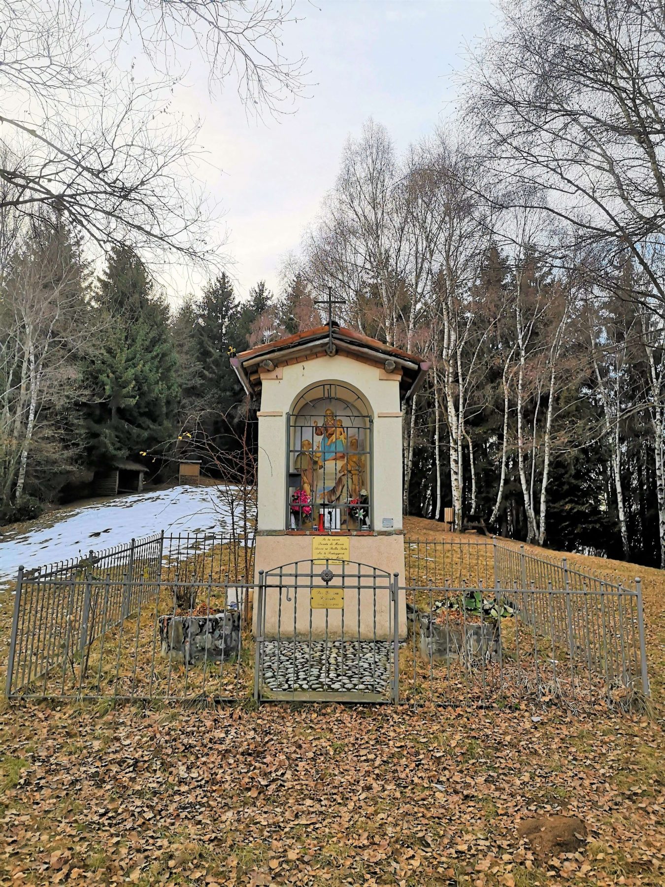
Go down the paved road and, keeping to the right, you will find the monument to the Fallen of the Battle of Fonteno. From here you continue to the right, following the path CAI 568, which first leads near Monte Torrezzo, from which then begins the descent to Monte Boario. Here there is a small chapel and, continuing the descent through the path in the direction of Fonteno, you arrive again at the town square.
DE – Von der Piazza Ongaro aus geht man in Richtung Via Campello, der man folgt, bis die Straße gepflastert wird. Dies ist der Beginn des Torrezzo-Saumpfades, an dem sich die kleine Alpenkirche Santello befindet. An der ersten Kreuzung Richtung Pradetù hält man sich rechts. Wenige Meter später gelangt man zu einer zweiten Kreuzung, an der man sich stattdessen links hält und einem ebenen Stück folgt.
Wenn man die Route fortsetzt, gelangt man zu einem überdachten Rastplatz, wo man anhand von Informationstafeln mehr über die im Tal entdeckten unterirdischen Abgründe erfahren kan. Man geht weiter, bis man ein neues Informationsschild zu den Höhlen erreicht (in der Nähe einer Enel-Hütte) und betritt man einen Tannenwald. Am Ende des Waldes befindet man sich in der Nähe der Spitze von Colletto, die über eine unbefestigte Straße erreicht werden kann. Am Ende der Straße gibt es auch ein Geolabe.
Man geht die Asphaltstraße hinunter und stoßt, wenn man sich rechts hält, auf das Denkmal für die Gefallenen der Schlacht von Fonteno. Von hier aus muss man nach rechts weitergehen und dem CAI-Weg 568 folgen, der zunächst in die Nähe des Monte Torrezzo führt, von wo aus dann der Abstieg in Richtung Monte Boario beginnt. Hier gibt es eine kleine Kapelle und wenn man den Abstieg entlang des Weges in Richtung Fonteno fortsetzt, erreicht man wieder den Stadtplatz.
How to arrive and where to park / Anreise und Parkplätze
Fonteno can be reached by taking the SS 42 of the Cavallina Valley up to Endine Gaiano where you turn right towards Solto Collina. Shortly before entering the town, turn right at the crossroads and continue for about 4 km to the main square of Fonteno (Piazza Belvedere).
Alternatively, for those arriving from Lake Iseo, it is possible to take the coastal road SP 469 up to Riva di Solto, from here follow the signs for Solto Collina and then Fonteno.
You can park in the rest areas near the sport field of Fonteno (on the left going down just before Piazza Ongaro).
DE – Nach Fonteno gelangt man über die Staatsstraße 42 des Cavallina-Tals bis nach Endine Gaiano, wo man rechts in Richtung Solto Collina abbiegt. Kurz vor Ortseingang biegt man an der Kreuzung rechts ab und fährt etwa 4 km weiter bis zum Hauptplatz von Fonteno (Piazza Belvedere).
Alternativ können diejenigen, die vom Iseosee kommen, die Küstenstraße SP 469 bis nach Riva di Solto nehmen und von hier aus den Schildern nach Solto Collina und dann nach Fonteno folgen.
Es gibt Parkplätzen in der Nähe des Sportplatzes Fonteno (links bergab, kurz vor der Piazza Ongaro).
Credits: La Collina Outdoor
DETAILS
- Difficulty:
Difficult - Duration:
4h - Distance:
14 km - Elevation gain:
+850 - Starting point:
Square of Fonteno - Arrival point:
Monument dedicated to the Fallen of the Battle of Fonteno - Trail number:
CAI 568
Book now:
Scenic walk to the Big Bench in Franciacorta
Rovato
Among vineyards, woods, and breathtaking views, enjoy an authentic experience in the heart of Franci...
 BOOK NOW
Treasure hunt in Franciacorta
Franciacorta
A fun experience suitable for everyone in the vineyards of Franciacorta: a team orientation test bet...
BOOK NOW


