4th stretch: Colpiano – Zone
The trail / der Weg
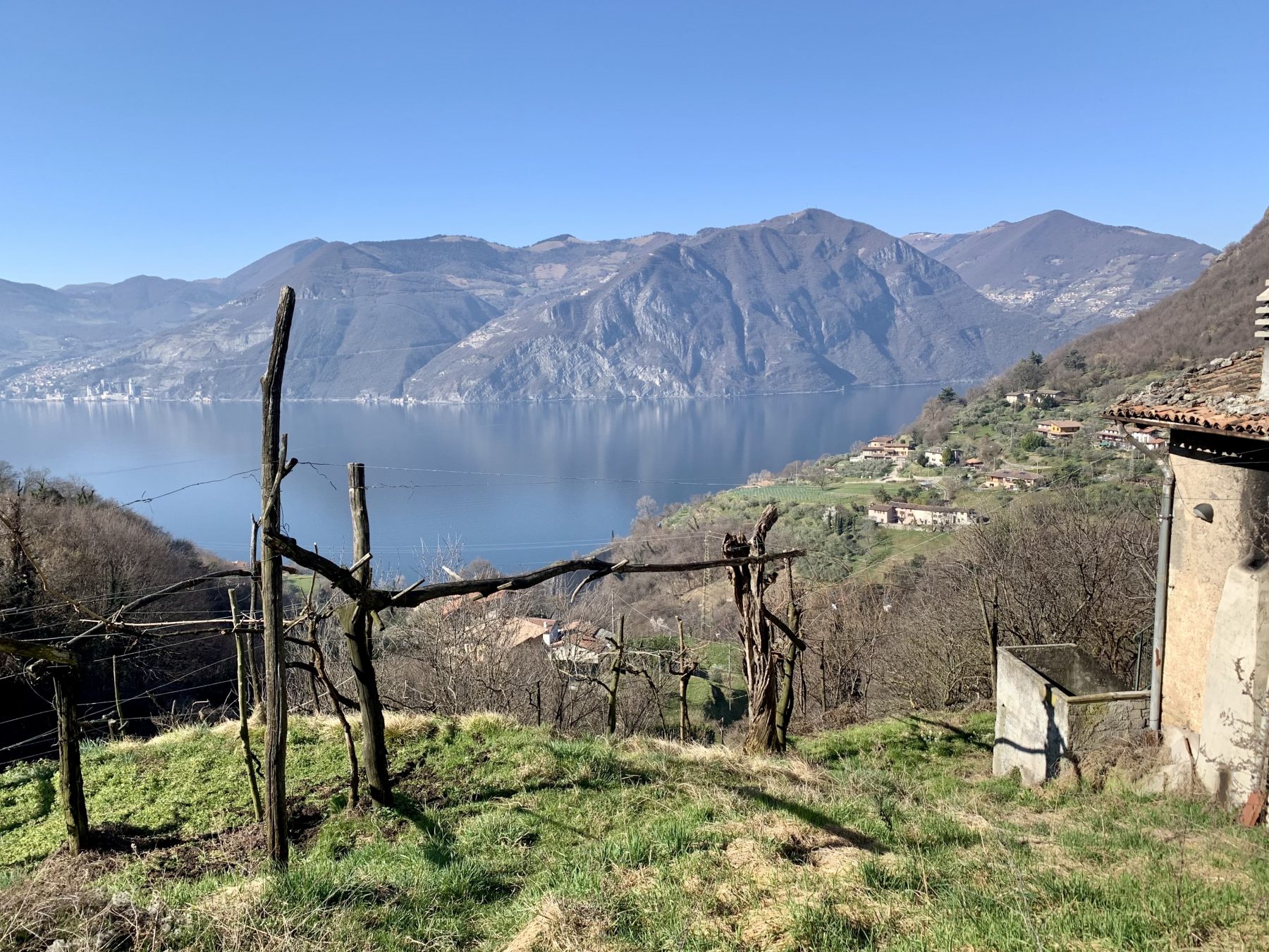
You will start climbing to Zone from Colpiano, turning into a path that seems to take directly to the top of the rocky Punta Cunicolo, walking through new environments different from the previous ones as less influenced by the microclimate of the lake. You will keep on covering the path that takes to Zone walking beside little stone walls and passing through a very narrow way. With the last houses the slope, which remains on the hydrographical left of the valley, becomes steeper.
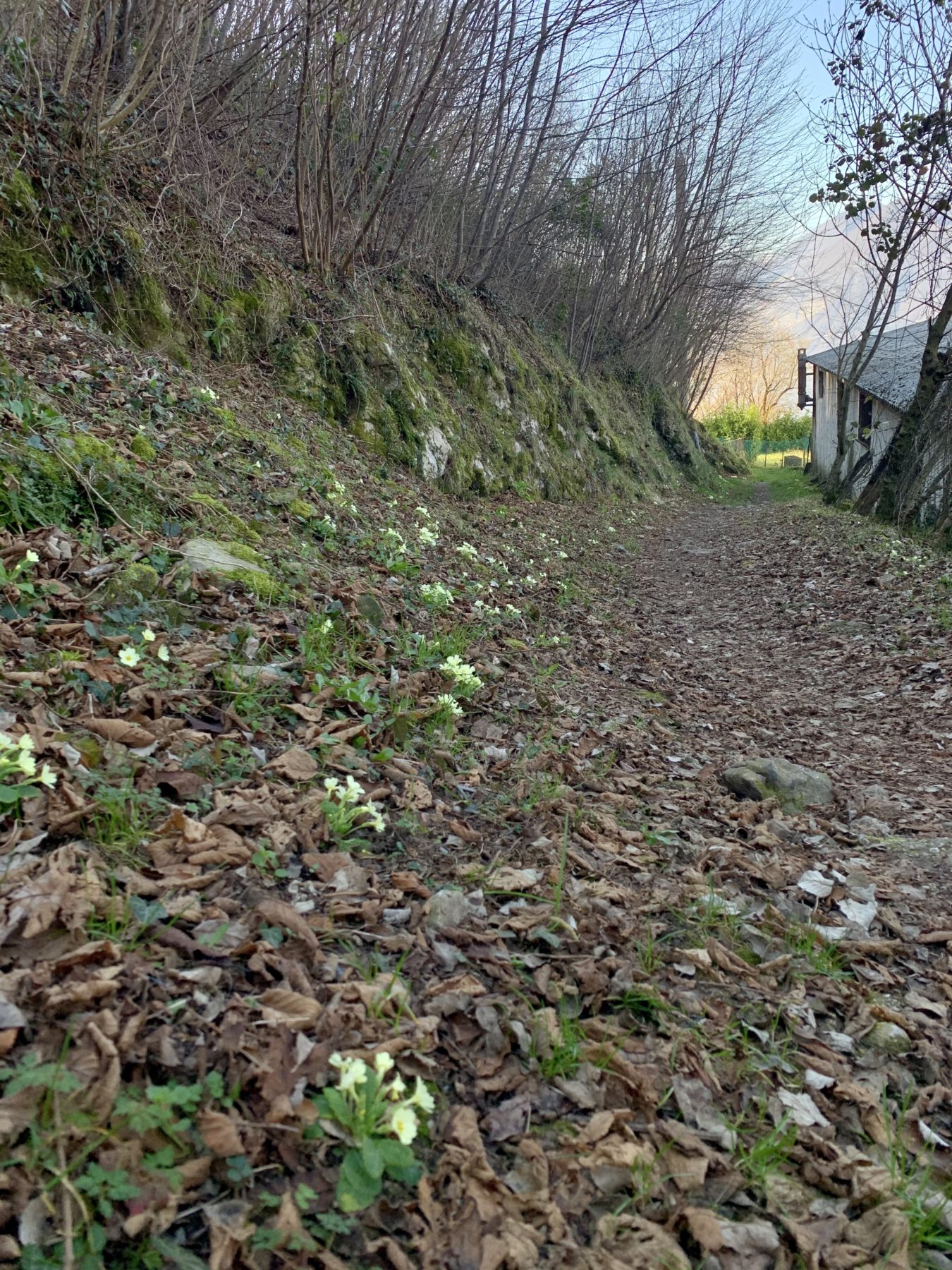
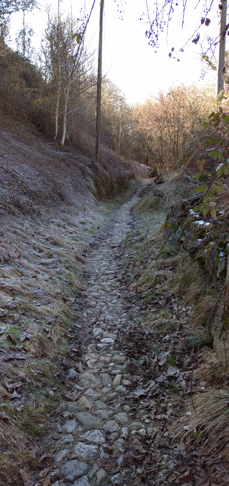
After coming across a pair of old cottages, you enter again the road that takes to Zone, near a cableway that transports the dolomite mined in the Calarusso quarry on Monte Pura to Marone plants for processing. After a few metres down on the asphalt, you will keep on walking along a cobbled mule track, passing through a lot of hazels (Corylus avellana) and some chestnuts (Castanea sativa). Suddenly, the erosion Pyramids appear: they testify to the presence of the Oglio glacier during the Würmian glaciation. The glacier penetrated into Val Bagnadore with a lateral lobe, creating a bound and fostering a morainic deposit made of fine materials as sand silt and clay, as well as of rough materials as rocks and cobbles. The erosive action of the rain over the morainic deposit isolated big rocky boulders. They exerted a protettive action on the material below as if they were umbrellas, managing to model earth columns: the pyramids themselves. When their cap falls down the pyramid quickly crumbles.
The Antica Strada Valeriana route continues offering an enchanting view of the Regional Nature Reserve of the Pyramids and passes through the hamlet of Cislano, where there is Saint George Church, dating back to the XV century, which shows internal and external frescoes. In the surroundings you will find: a picnic area, the beginning of the circular route to the pyramids, a tourist centre and a large parking space. The route covers a paved road for several hundred metres and then it turns on the left downhill among the fields. At this point you are supposed to pay attention to the traces of the path, since they are not evident, in order not to get lost. You will go down to the valley floor to the stream bed and you will follow its course for a while before crossing it on a little wooden bridge. A mule track climbs up on the other side, keeping the cascina di Marse on the left.
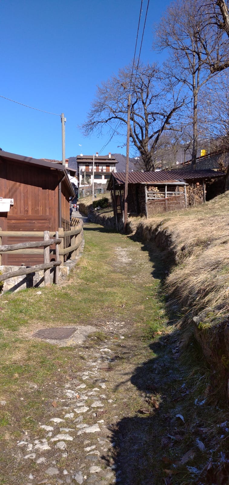
After several fields you will be able to see Zone and Val Vandul: go through the road that takes to the hamlet of Cusato. Once gone beyond it, you will start entering Val Rinat, where a stream flows. Cross it and you will soon find yourself among the rocky houses of Zone.
DE – Von Colpiano aus beginnt der Aufstieg nach Zone auf einem Weg, der direkt zur Spitze des felsigen Punta Cunicolo zu führen scheint. Die neuen und anderen Umgebungen als bisher sind weiter vom See entfernt und weniger vom Mikroklima beeinflusst. Man überquert die Straße, die nach Zone führt, und begeht Steinmauer und einen einzigartigen Engpass im Felsen. Bei der Überwindung der letzten Häuser wird der Aufstieg entscheidend.
Man kommt an einigen alten Bauernhäusern vorbei und überquert erneut die Straße, die nach Zone führt, in der Nähe der Seilbahn, die den aus dem Steinbruch Calarusso gewonnenen Dolomit nach Marone transportiert. Nach einigen Metern bergab auf dem Asphalt geht man auf einem gepflasterten Saumpfad weiter, an dessen Seiten sich zahlreiche Exemplare von Haselnüssen (Corylus avellana) und einigen Kastanien (Castanea sativa) befinden, die die bis vor kurzem angetroffenen Olivenbäume ersetzt haben. Hier, in der Nähe einer Haarnadelkurve, erscheinen die Erosionspyramiden, die den Durchgang des Oglio-Gletschers während der Würmianischen Vereisung bezeugen. Der Gletscher drang mit einer seitlichen Zunge in das Val Bagnadore ein und bildete eine Barriere, wodurch die morainische Ablagerung von feinem (Sand, Schlick und Ton) und grobem (Felsbrocken und Kiesel) Material begünstigt wurde. Die erosive Wirkung des Regens auf die Moränenlagerstätte isolierte allmählich große Felsbrocken. Diese Felsbrocken üben eine schützende, schirmartige Wirkung auf das darunter liegende Material aus, bis eine Erdsäule modelliert wird: die Pyramide.
Nach dem faszinierenden Blick auf das regionale Naturschutzgebiet der Pyramiden setzt sich die Antica Strada Valeriana fort und überquert den Ortsteil Cislano, in dem sich die Kirche San Giorgio aus dem 15. Jahrhundert mit Fresken innen und außen befindet. In der Nähe gibt es einen Haltepunkt, den Beginn der Rundreise für den Besuch der Pyramiden und das Besucherzentrum, sowie einen großen Parkplatz. Man geht auf der asphaltierten Straße einige hundert Meter fort und biegt dann links durch Wiesen bergab ab. Man muss genau auf die Spuren der Route achten, da der Pfad nicht markiert ist. Hier geht man zum Talboden hinauf zum Bachbett, das man etwas weiter unten auf einer Holzbrücke überquert. Auf der gegenüberliegenden Seite steigt ein Pfad an, der links das Cascina di Marse verlässt. Nach den sanften Wiesen mit Blick auf die nahe gelegene Stadt Zone und das Val Vandul überquert man die Straße, die den Ortsteil Cusato verbindet. Dahinter betritt man das Val Rinat, an dessen Grund der Bach fließt, den man in Kürze überschreiten wird, um sich zwischen den Steinhäusern im Zentrum von Zone zu befinden.
How to arrive and where to park / Anreise und Parkplätze
In order to reach Colpiano (Marone), take the SP 510 with direction Pisogne and take the exit Colpiano / Zone.
There is a parking space at the exit of the provincial road.
DE –Um den Ortsteil Colpiano (Marone) zu erreichen, nimmt man die SP 510 Straße Richtung Pisogne und den Ausfahrt Colpiano / Zone.
Parkplatz am Ausfahrt der Landstraße.
DETAILS
- Difficulty:
Medium - Duration:
1h 50 min - Distance:
4,8 Km - Elevation gain:
+400 - Starting point:
Località Colpiano, Marone - Arrival point:
Via Valurbes, Zone - Trail number:
291
Book now:
Treasure hunt in Franciacorta
Franciacorta
A fun experience suitable for everyone in the vineyards of Franciacorta: a team orientation test bet...
 BOOK NOW
Scenic walk to the Big Bench in Franciacorta
Rovato
Among vineyards, woods, and breathtaking views, enjoy an authentic experience in the heart of Franci...
BOOK NOW


