Trekking from Iseo to Punta dell’Orto
The trail / der Weg
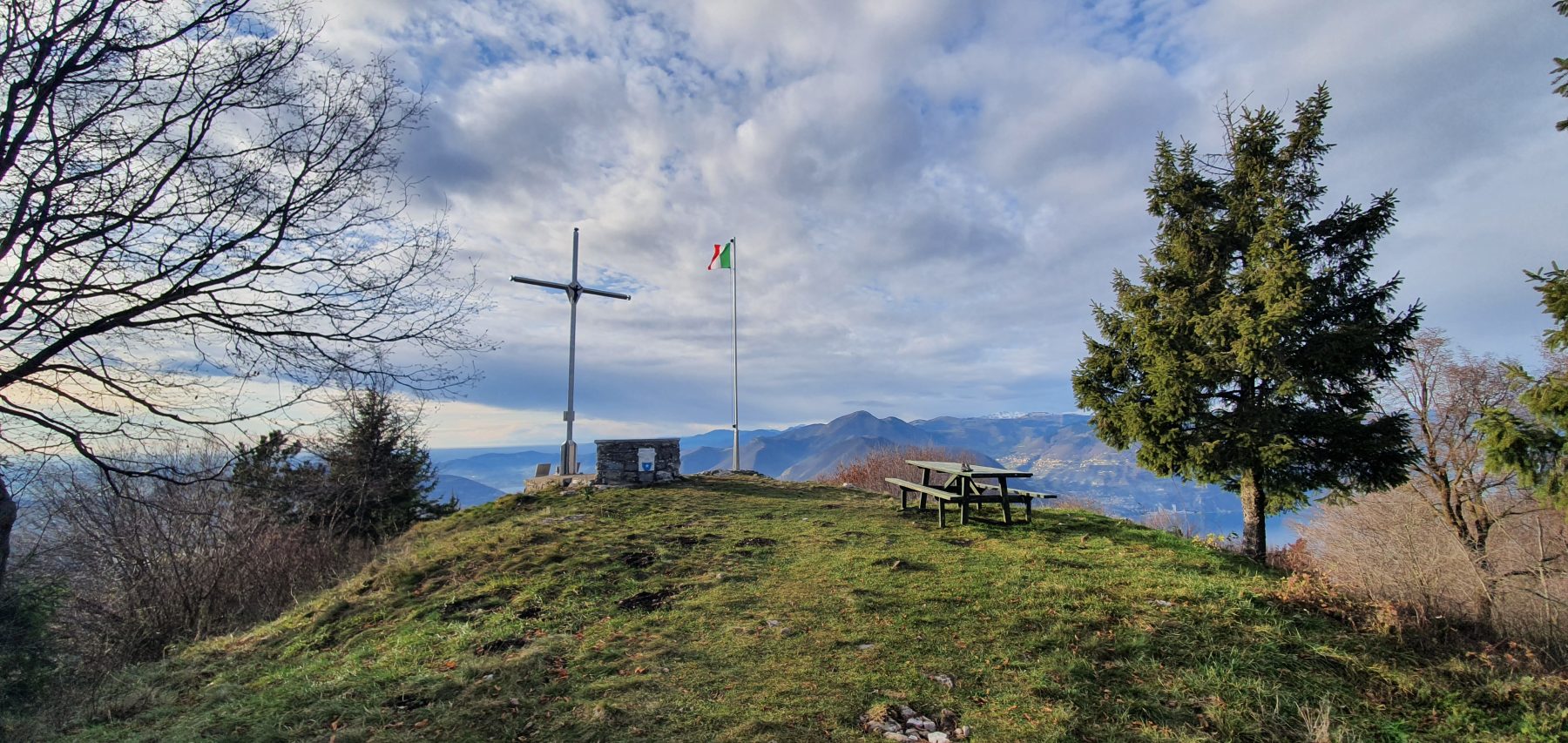
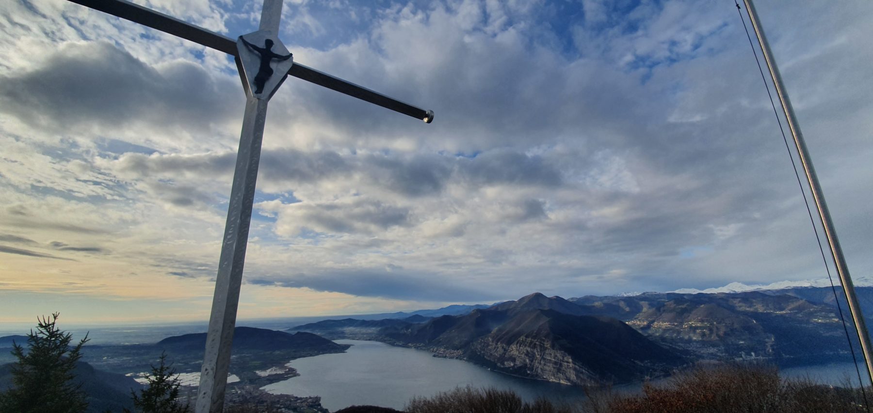
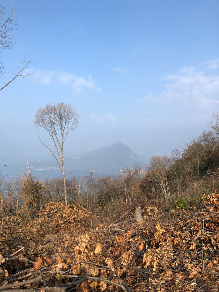
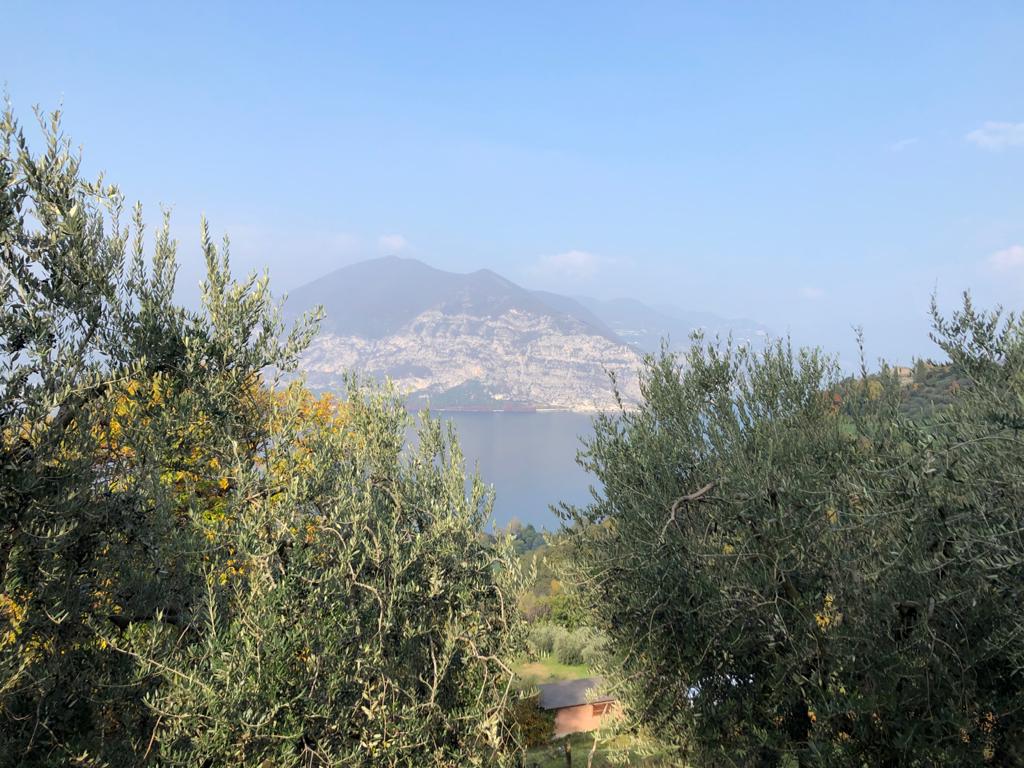
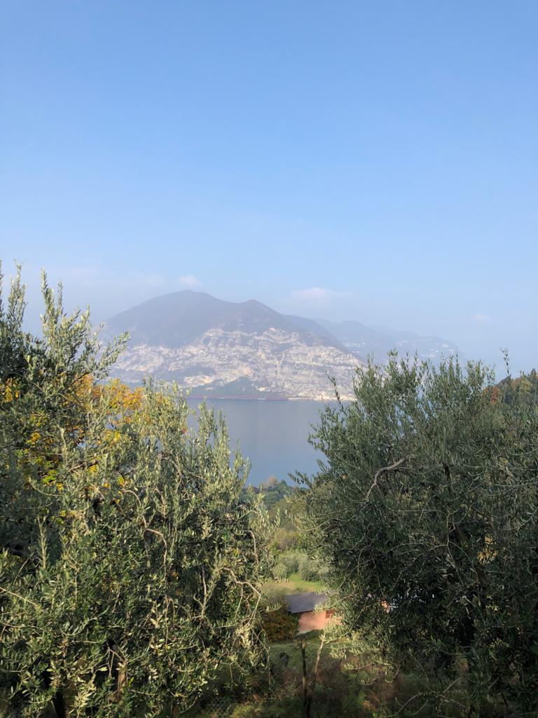
Punta dell’Orto dominates the towns of Iseo and Pilzone with its 1000 meters. Thanks to its central position, the view from the top sweeps across almost the entire Lake Iseo with Montisola, Iseo, the Torbiere Nature Reserve and the lower lake.
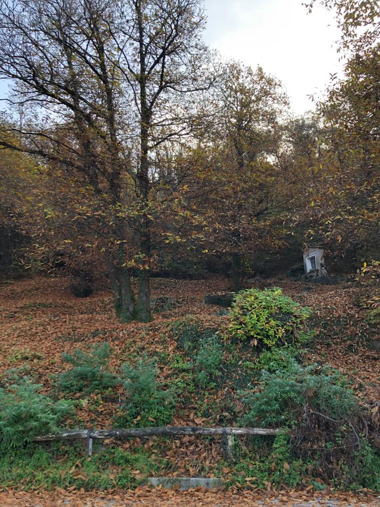
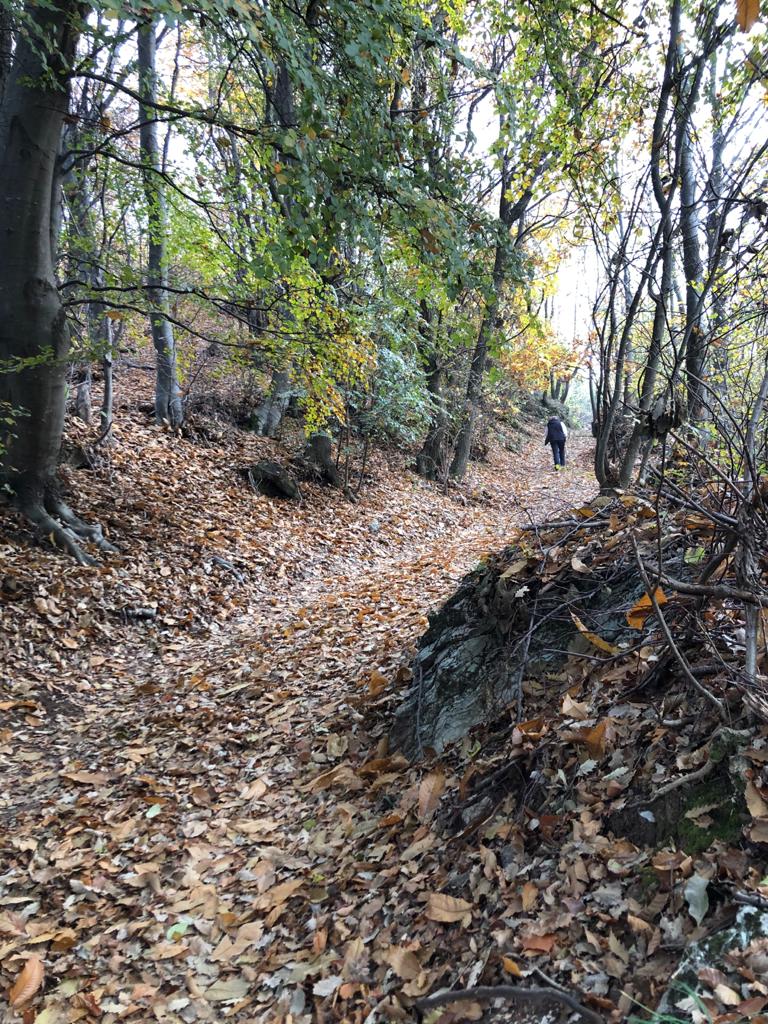
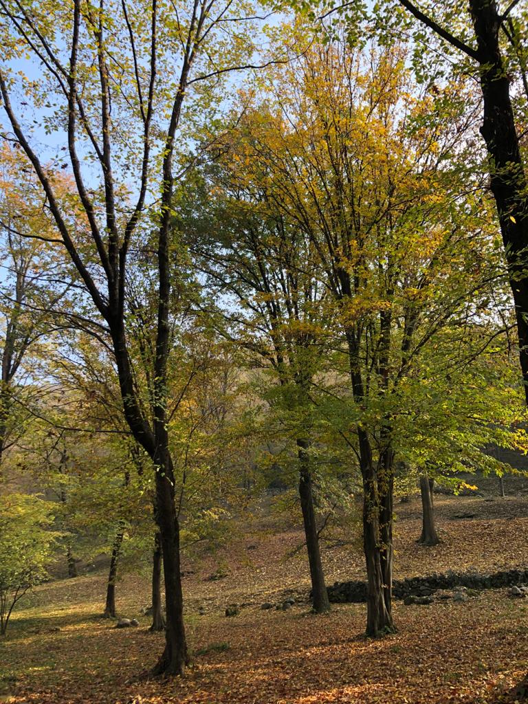
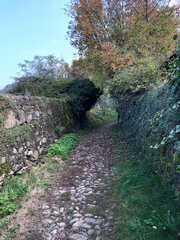
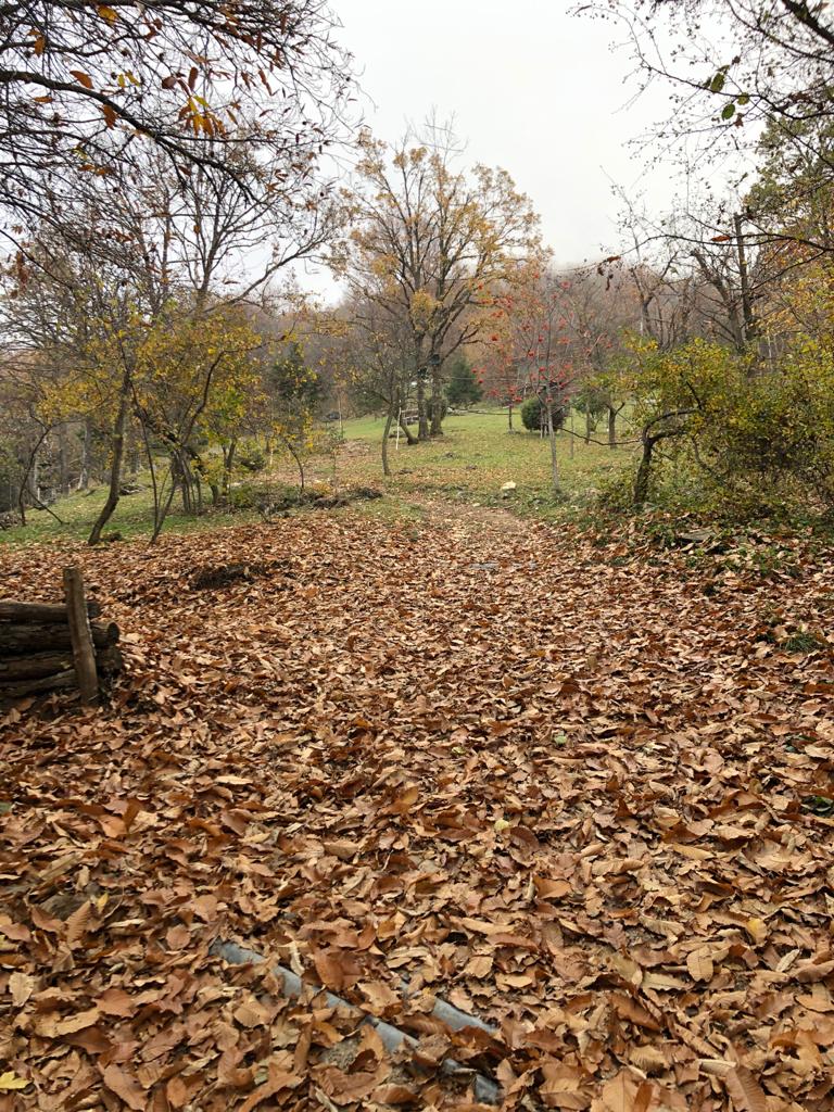
The itinerary begins in via Silvio Bonomelli where, at the road sign “Brescia-Polaveno”, it is necessary to turn right into a cobbled path, following the signs for paths 241,242 and 246. After 15 minutes you will come out on the provincial road to Polaveno, which runs for a few meters and then turns right into a clearing. From here you enter a chestnut wood, following the white-red trail sign 241 to Punta dell’Orto. Once arrived in the locality Bosine , continue for 500 meters again on the provincial road – which already offers some views of the lake – and take an unpaved road at the first bend, that is closed by a barrier on the left. Here enter a plateau with wonderful white hornbeam and red oak trees and begin the climb that leads to a crossroads, where the signs 241 to the right have to be followed. On the left, however, a sign indicates the path 242 which leads to church of San Fermo and the giant bench of Pilzone, from where you can enjoy a splendid view of the lake. The path climbs again and you encounter the path 290 Proai-Golem. Following it briefly up to a new deviation of path 241, walk among chestnut trees until you come out on an unpaved road. Turn right and walk along a ridge with panoramic views. Here, some fixed huts follow one another in sequence (be careful during the hunting season) and the last stretch is a steep slope. By carefully following the red and white trail markers also near other huts, you will reach Punta dell’Orto.
DE – Mit ihren 1000 Metern, dominiert Punta dell’Orto die Stadt Iseo und den Ortsteil Pilzone. Dank ihrer zentralen Lage erstreckt sich der Blick von oben über fast den gesamten Iseosee mit Monte Isola, Iseo, das Naturschutzgebiet Torbiere del Sebino und dem unteren Teil des Sees.
Die Route beginnt in Iseo in via Silvio Bonomelli, wo man am Straßenschild “Brescia-Polaveno” rechts in einen Kopfsteinpflasterweg einbiegt und den Schildern für die Wege 241.242 und 246 folgt. Nach 15 Minuten kommt man auf der Provinzstraße nach Polaveno, dem man einige Meter folgt, biegt man dann rechts in eine Lichtung ein. Von hier aus betritt man den Kastanienwald und folgt dem weiß-roten Wegweiser 241 zur Punta dell’Orto. Wenn man Bosine erreicht habt, fährt man erneut 500 Meter auf der Provinzstraße, die bereits einige Ausblicke auf den See bietet. In der ersten Kurve nimmt man links eine unbefestigte Straße, die durch eine Barriere gesperrt ist. Hier betritt man ein Plateau mit prächtigen weißen Hainbuchen und roten Eichen und beginnt den Aufstieg, der zu einer Kreuzung führt, wo man den Schildern 241 nach rechts folgt. Links zeigt jedoch ein Schild den Weg 242 an, der zur Kirche San Fermo und zur Big Bench von Pilzone führt, von wo aus man einen herrlichen Blick auf den See genießen kann. Der Weg steigt wieder an und kreuzt dann den Weg 290 Proai Golem, der ihm kurz bis zu einer neuen Abweichung von Weg 241 folgt. Man geht zwischen Kastanienbäumen weiter , bis man auf einem Feldweg herauskommt. Man biegt rechts ab und geht den Kamm mit Panoramablick entlang. Hier folgen einige feste Hütten nacheinander (Vorsicht während der Jagdsaison) und die letzte Strecke ist an einem steilen Hang bedeckt. Wenn man den roten und weißen Wegmarkierungen auch in der Nähe anderer Hütten genau folgt, erreicht man Punta dell’Orto.
How to arrive and where to park / Anreise und Parkplätze
From Brescia: take the SP 510 and follow the signs for Lago d’Iseo/Iseo.
From Bergamo: take the A4 motorway towards Venice and exit at Palazzolo sull’Oglio. From the motorway tollbooth it is necessary to follow the signs for Lago d’Iseo/Iseo, first on the SP 469 and then on the SP 12.
Small free parking in via Silvio Bonomelli.
Alternatively, the free parking spaces near Iseo’s cemetery in via Roma is recommended.
DE – Von Brescia: Man nimmt die SP 510 Straße und folgt den Schildern zum Lago d’Iseo/Iseo.
Von Bergamo: Man nimmt die Autobahn A4 in Richtung Venedig und fährt am Palazzolo sull’Oglio ab. Von der Autobahnmautstelle aus muss man zuerst auf der SP 469 und dann auf der SP 12 den Schildern zum Lago d’Iseo/Iseo folgen.
Kleine kostenlose Parkplätze in via Silvio Bonomelli.
Alternativ werden die kostenlosen Parkplätze auf dem Friedhof in via Roma empfohlen.
Useful info / nützliche Info
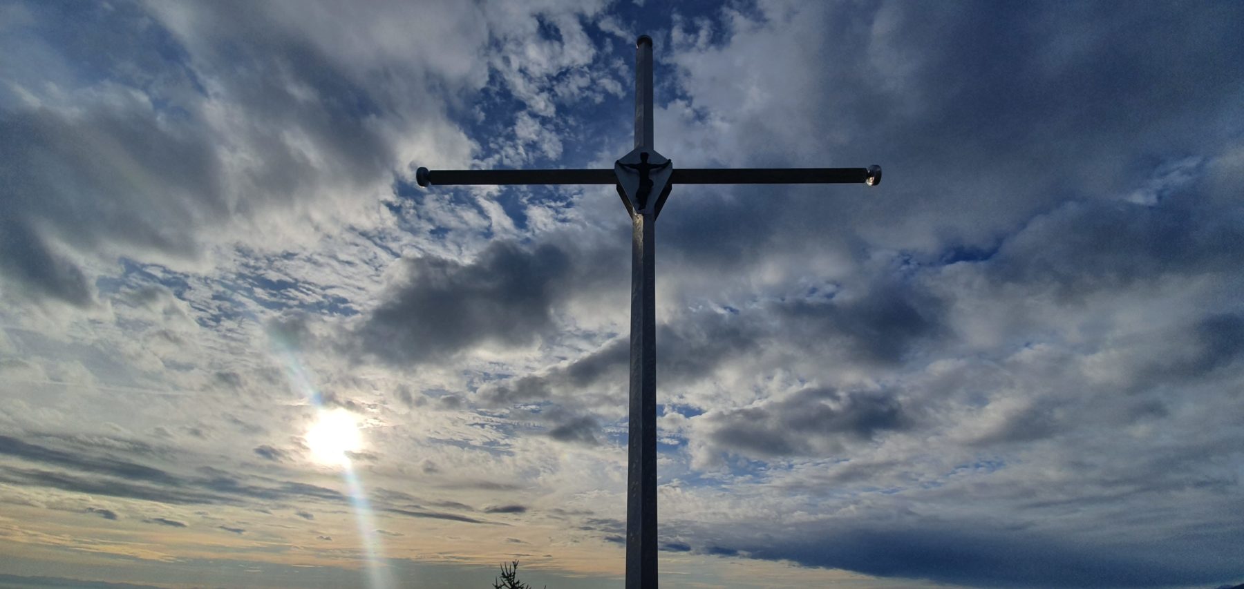
The place is particularly dear to Iseo’s inhabitants also because here the sacrifice of the Alpine Agostino Foresti is commemorated .On June 10th, 1963 he died on Cima Vallona in the heroic attempt to bring relief to his superior.
Shorter alternative route: park the car near the bend of the Iseo-Polaveno provincial road after Bosine.
Trekking shoes are recommended.
DE – Der Ort ist den Bewohnern von Iseo besonders wichtig, weil hier das Opfer von Agostino Foresti gedacht wird. Am 10. Juni 1963 starb er auf Cima Vallona in dem heldenhaften Versuch, seinem Vorgesetzten Erleichterung zu verschaffen.
Es ist möglich, das Auto in der Nähe der Kurve der Provinzstraße Iseo-Polaveno nach dem Ort Bosine zu lassen, um die Strecke zu verkürzen.
DETAILS
- Difficulty:
Medium - Duration:
2 h - Distance:
5 km - Elevation gain:
+774 m - Starting point:
Via Silvio Bonomelli, Iseo - Arrival point:
Punta dell'Orto - Trail number:
241


