Carlo Magno’s Route
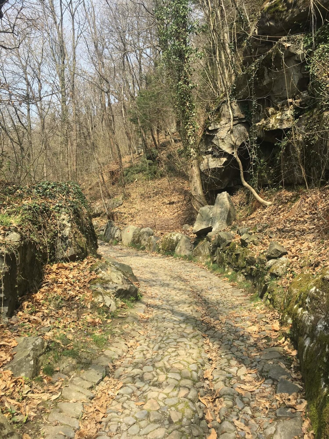
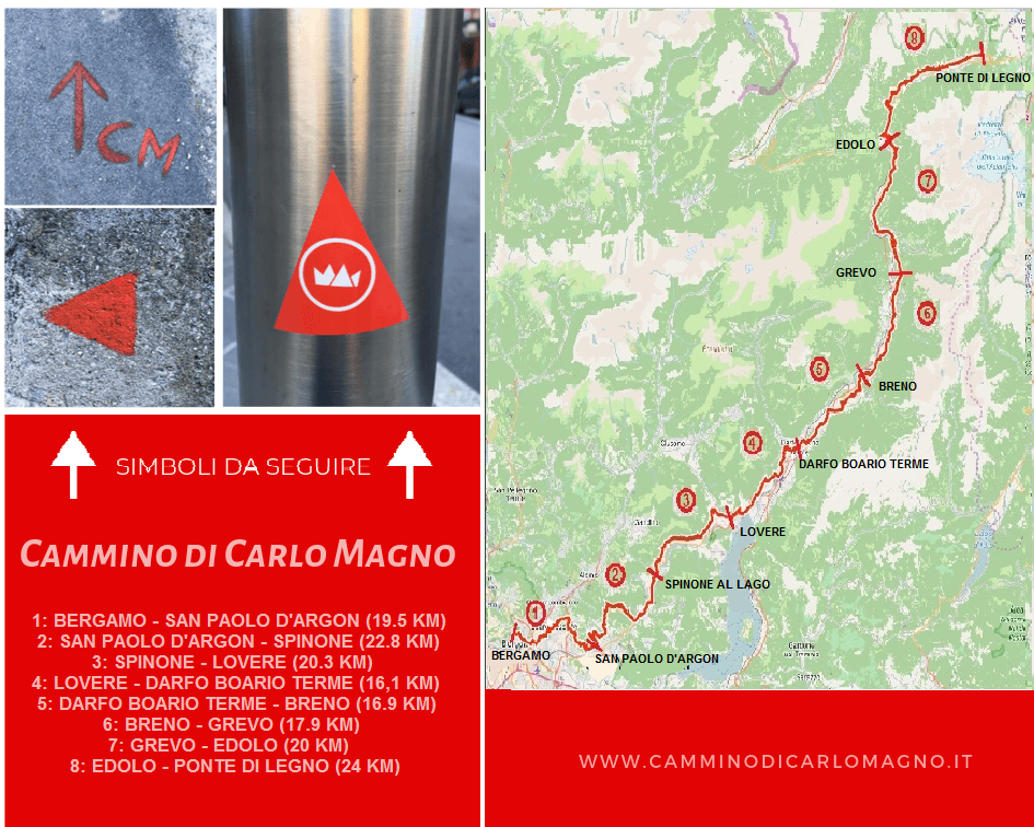
The “Cammino di Carlo Magno” (Path of Charlemagne), recognizable thanks to the appropriate signage, takes its name from a 15th-century legend that tells of the passage of the first Roman emperor.
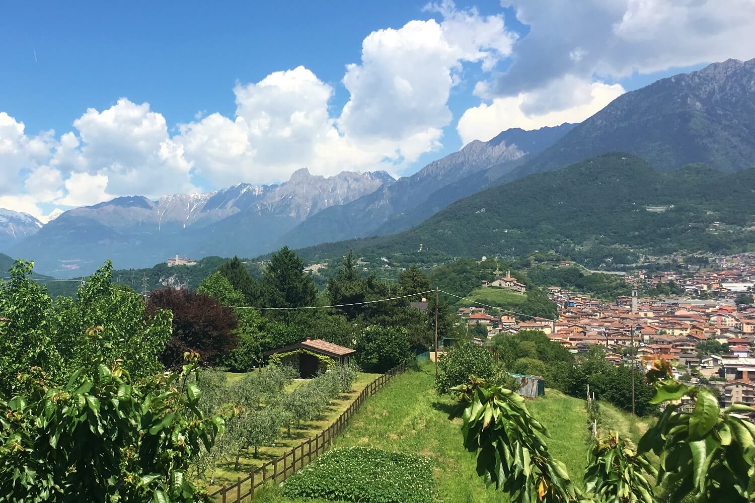
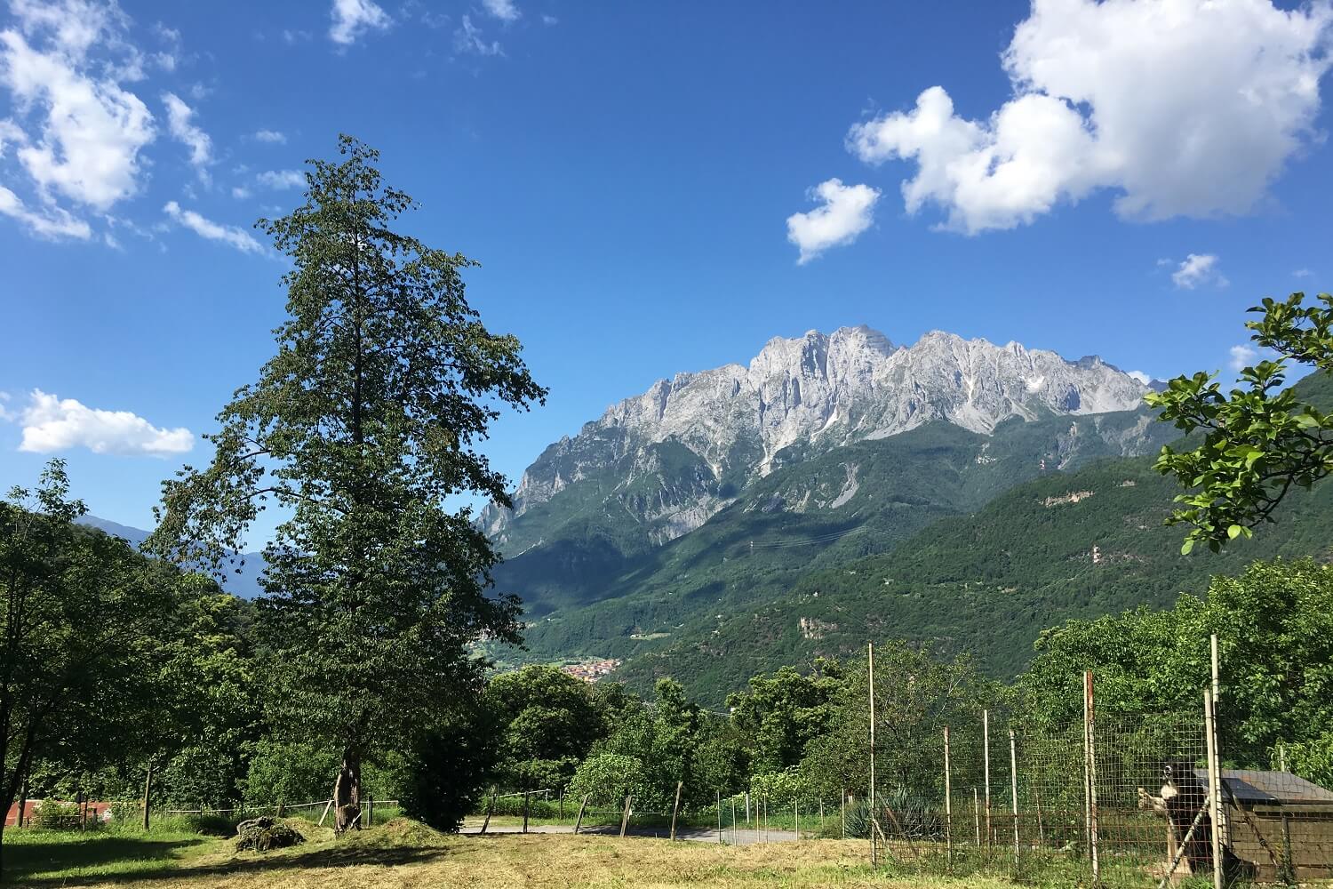
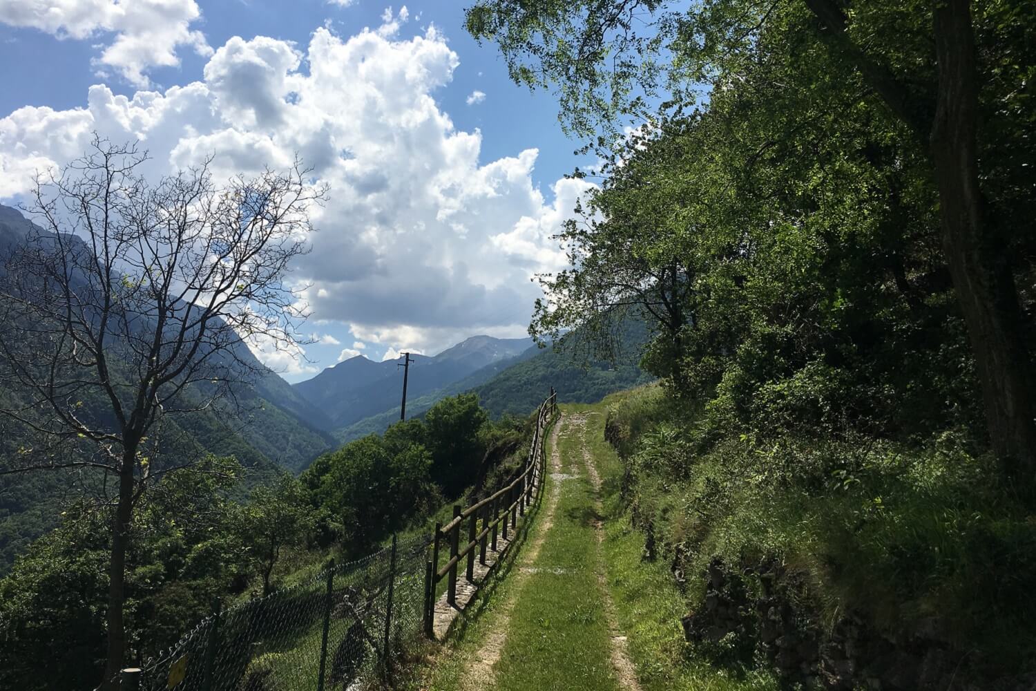
The route develops from the Upper Town of Bergamo to Madonna di Campiglio (TN) and winds for the most part along the hillside of the mountain ranges between the two locations.
Despite being an itinerary of medium difficulty, it still has some quite challenging climbs and descents and the altitude varies from stage to stage. The direction of the Cammino is unidirectional and leads towards the mountains.
DE – Der „Cammino di Carlo Magno“ (Weg Karls des Großen), erkennbar an der entsprechenden Beschilderung, hat seinen Namen von einer Legende aus dem 15. Jahrhundert, die vom Durchzug des ersten römischen Kaisers erzählt.
Die Route entwickelt sich von der Altstadt von Bergamo nach Madonna di Campiglio (TN) und windet sich zum größten Teil entlang der Hänge der Bergketten zwischen den beiden Orten.
Obwohl es sich um eine Route mit mittlerem Schwierigkeitsgrad handelt, hat sie dennoch einige recht herausfordernde Anstiege und Abfahrten und die Höhe variiert von Etappe zu Etappe. Die Richtung des Weges ist unidirektional und führt in Richtung der Berge.
The trail / der Weg
From Bergamo, going up and down the hills, you reach San Paolo d’Argon, near the Benedictine abbey. Then continue through woods and fields up to Cenate Sopra. Here the climb begins to reach the Sanctuary of Santa Maria Assunta di Monte Misma, and then descends to the small village of Luzzana. Continuing almost always on the flat, you first reach Spinone al Lago on Lake Endine and, later, Lovere. From Lovere, follow the orographic right side of the Oglio river up to the center of Boario Terme, where crossing the town, you pass on the orographic left, to then return to the right side from Edolo up to Ponte di Legno.
Then climb up to Passo del Tonale, passing next to the old hospice of San Bartolomeo, and descend on the path up to Vermiglio, the first village in the Val di Sole and, later, to the Castle of San Michele in Ossana. Once you reach the valley floor, you go through some villages and then go up again from Dimaro up to the Campo Carlo Magno Pass. The path finally descends through Val Rendena to Madonna di Campiglio and ends in the nearby Church of Santo Stefano in Carisolo.
DE – Von Bergamo geht es bergauf und bergab nach San Paolo d’Argon, in der Nähe der Benediktinerabtei. Dann weiter durch Wälder und Felder bis nach Cenate Sopra. Hier beginnt der Aufstieg zur Wallfahrtskirche Santa Maria Assunta di Monte Misma und man geht dann zum kleinen Dorf Luzzana hinab. Fast immer flach weiterfahrend, erreicht man zunächst Spinone al Lago am Endine-See und später Lovere. Von Lovere aus folgt man dem orographisch rechten Ufer des Flusses Oglio bis zum Zentrum von Boario Terme, wo man beim Durchqueren des Ortes auf dem orographisch linken Ufer vorbeigeht, um dann von Edolo auf das rechte Ufer bis zur Ponte di Legno zurückzukehren.
Man steigt dann zum Passo del Tonale hinauf, vorbei am alten Hospiz San Bartolomeo, und steigt auf dem Weg nach Vermiglio, dem ersten Dorf des Val di Sole, und später zum Schloss San Michele in Ossana ab. Sobald man den Talboden erreicht hat, geht man durch einige Dörfer vorbei und dann von Dimaro wieder hinauf zum Campo Carlo Magno Pass. Der Weg führt schließlich durch das Val Rendena hinunter nach Madonna di Campiglio und endet in der nahe gelegenen Kirche Santo Stefano in Carisolo.
Useful info / nützliche Info
Click here to find out more details about the itinerary.
Carlo Magno’s Route is indicated through special signs. In Boario Terme and in Edolo, the Route is crossed by the Via Valeriana.
DE – Hier clicken,um mehr Details über die Reiseroute zu erfahren.
Credits: camminodicarlomagno.it
DETAILS
- Difficulty:
Medium - Duration:
12 legs - Distance:
225 km - Starting point:
Piazza del Duomo (Città Alta) - Bergamo - Arrival point:
Chiesa di S. Stefano - Carisolo (TN) - Trail number:
Cammino di Carlo Magno


