Forcella Molere trail
The trail / der Weg
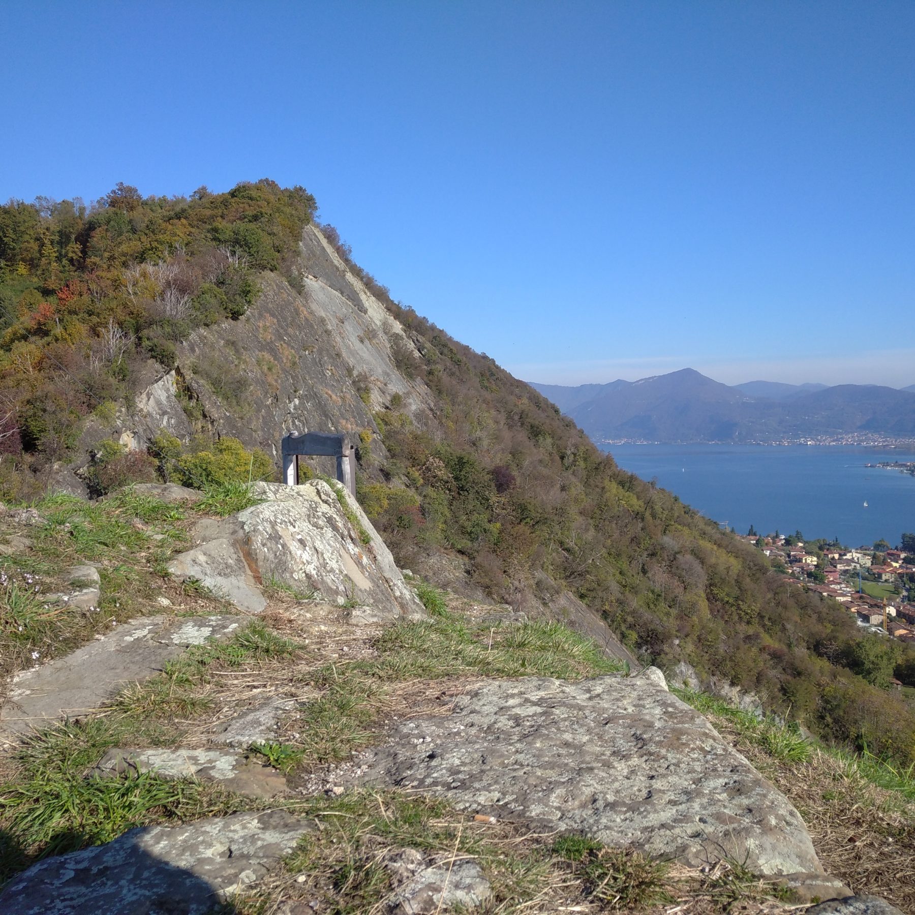
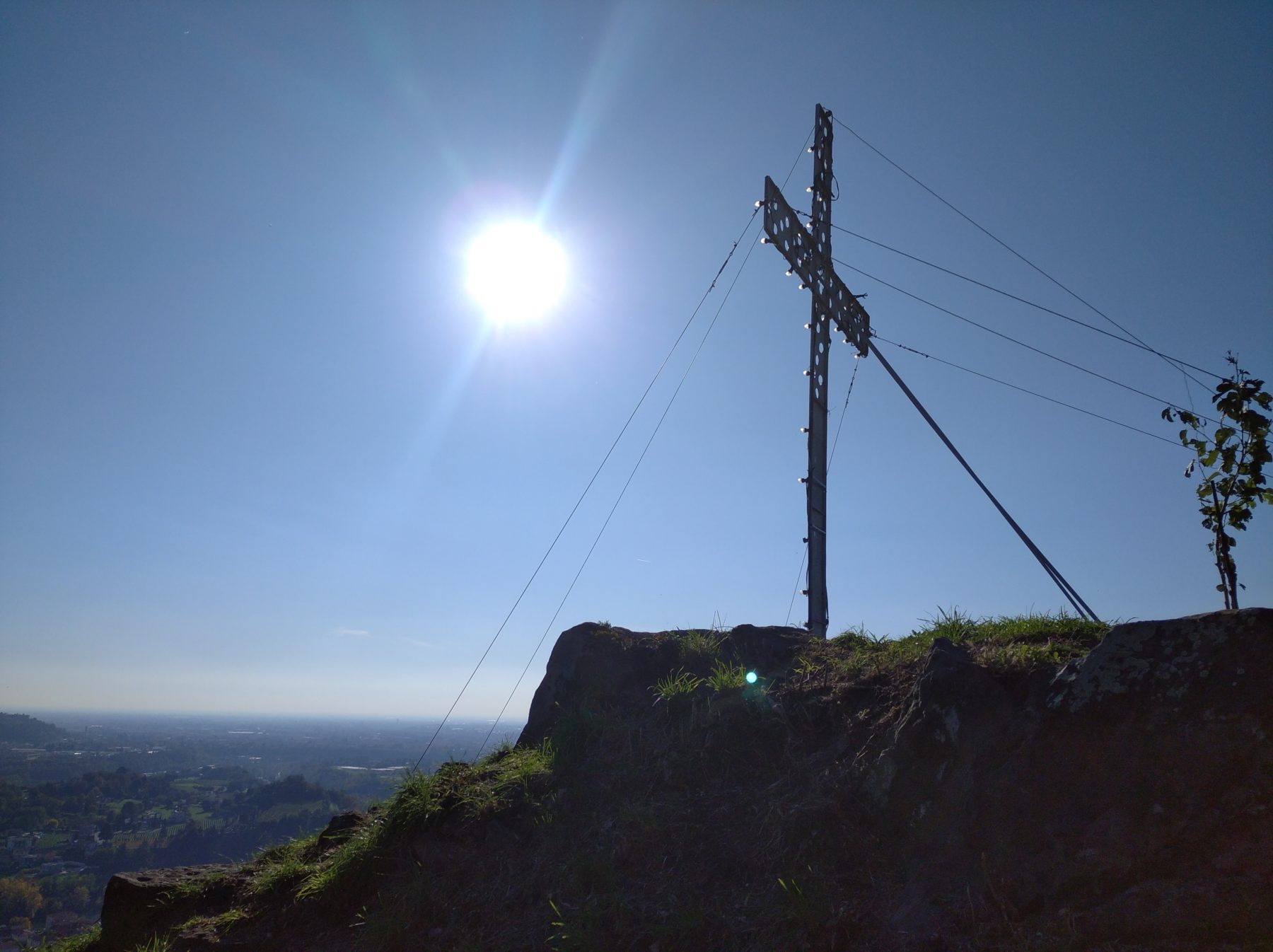
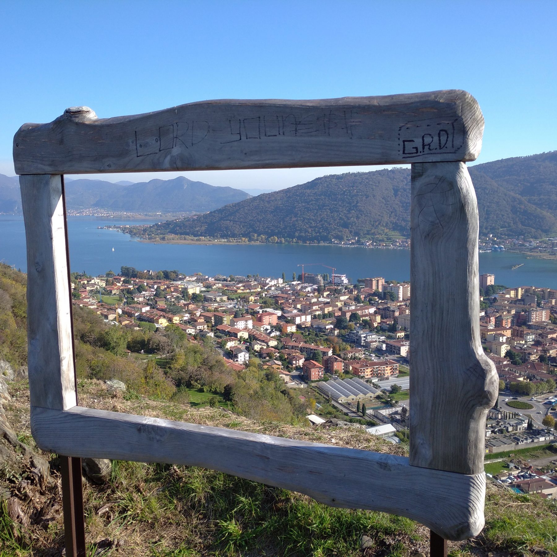
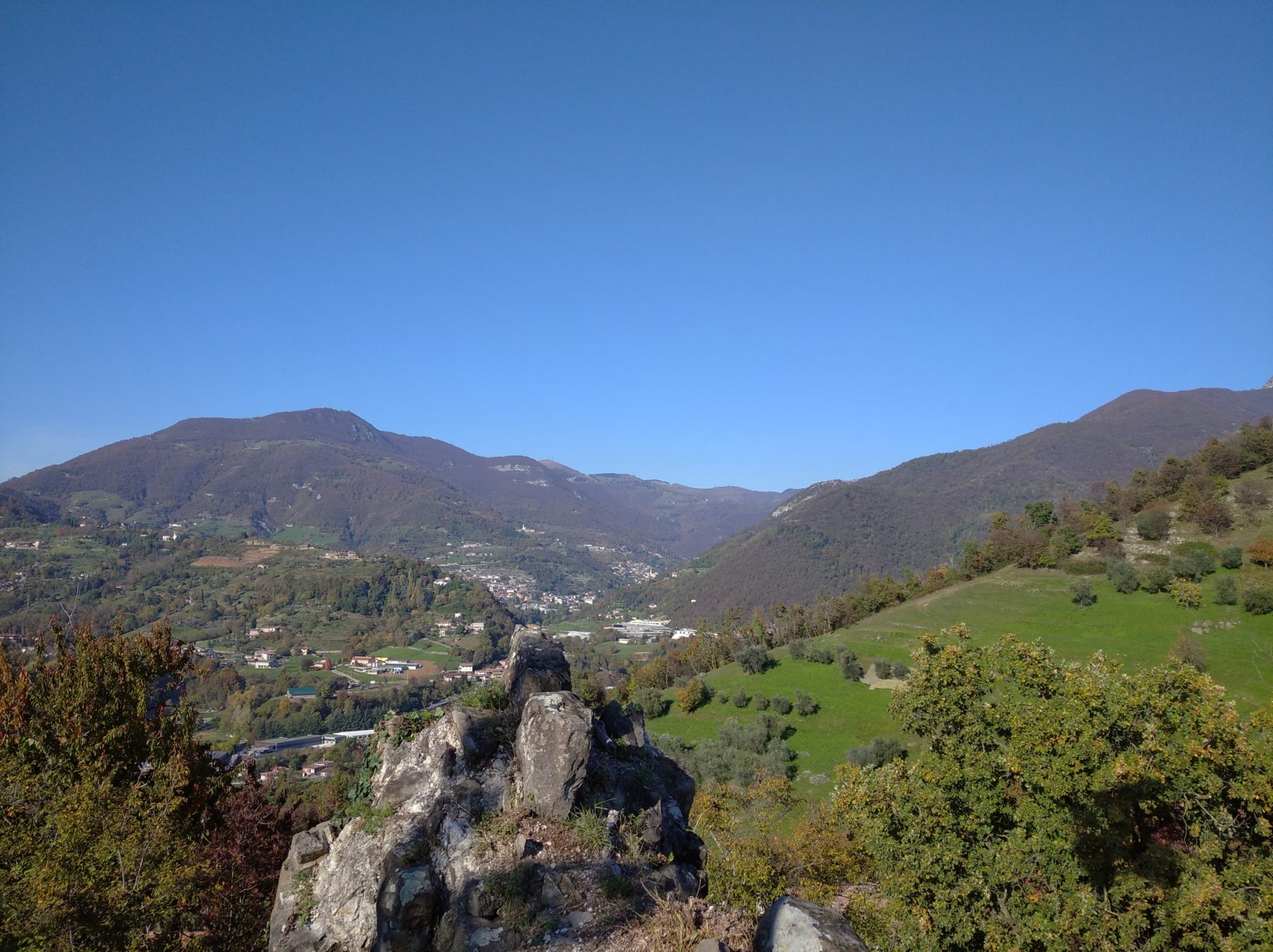
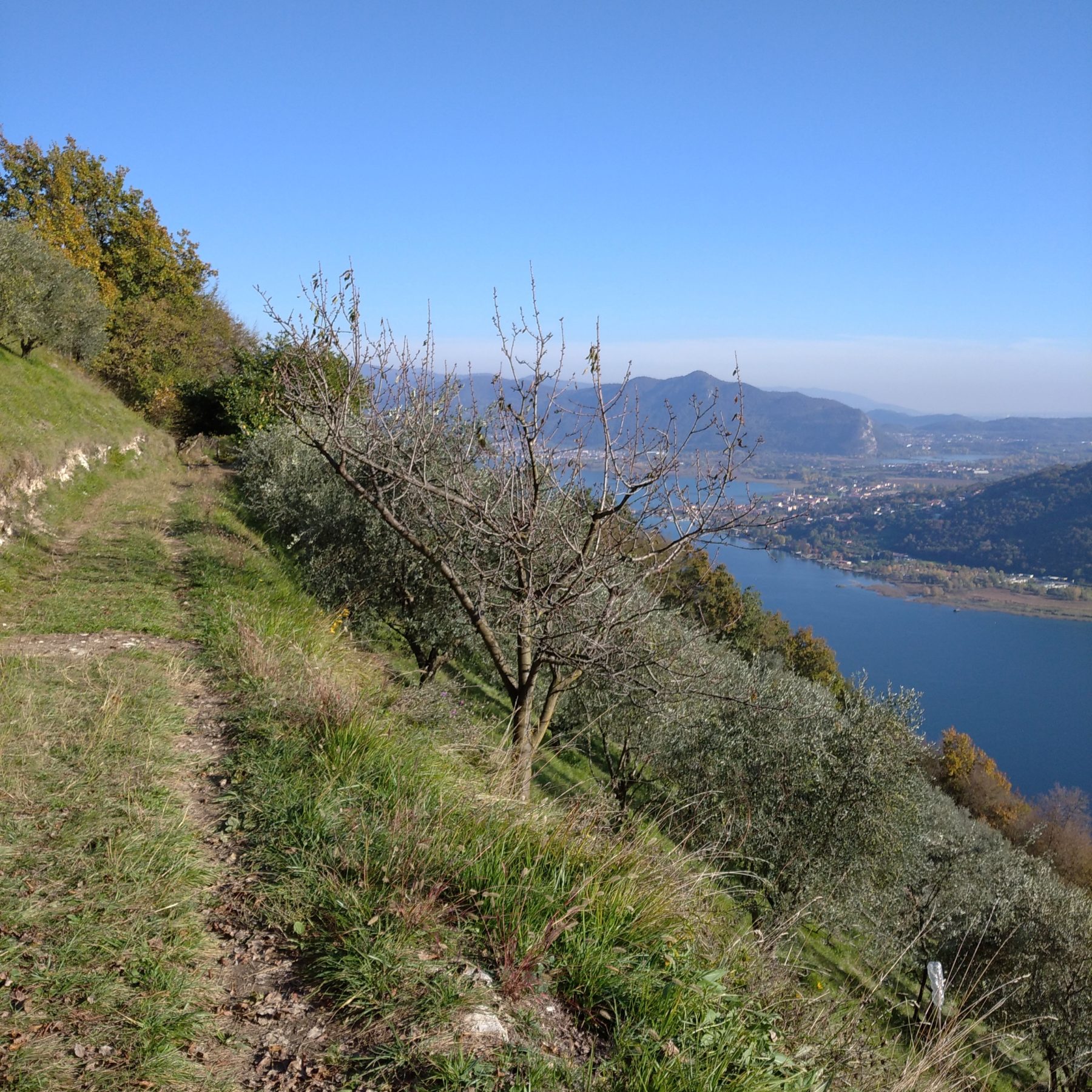
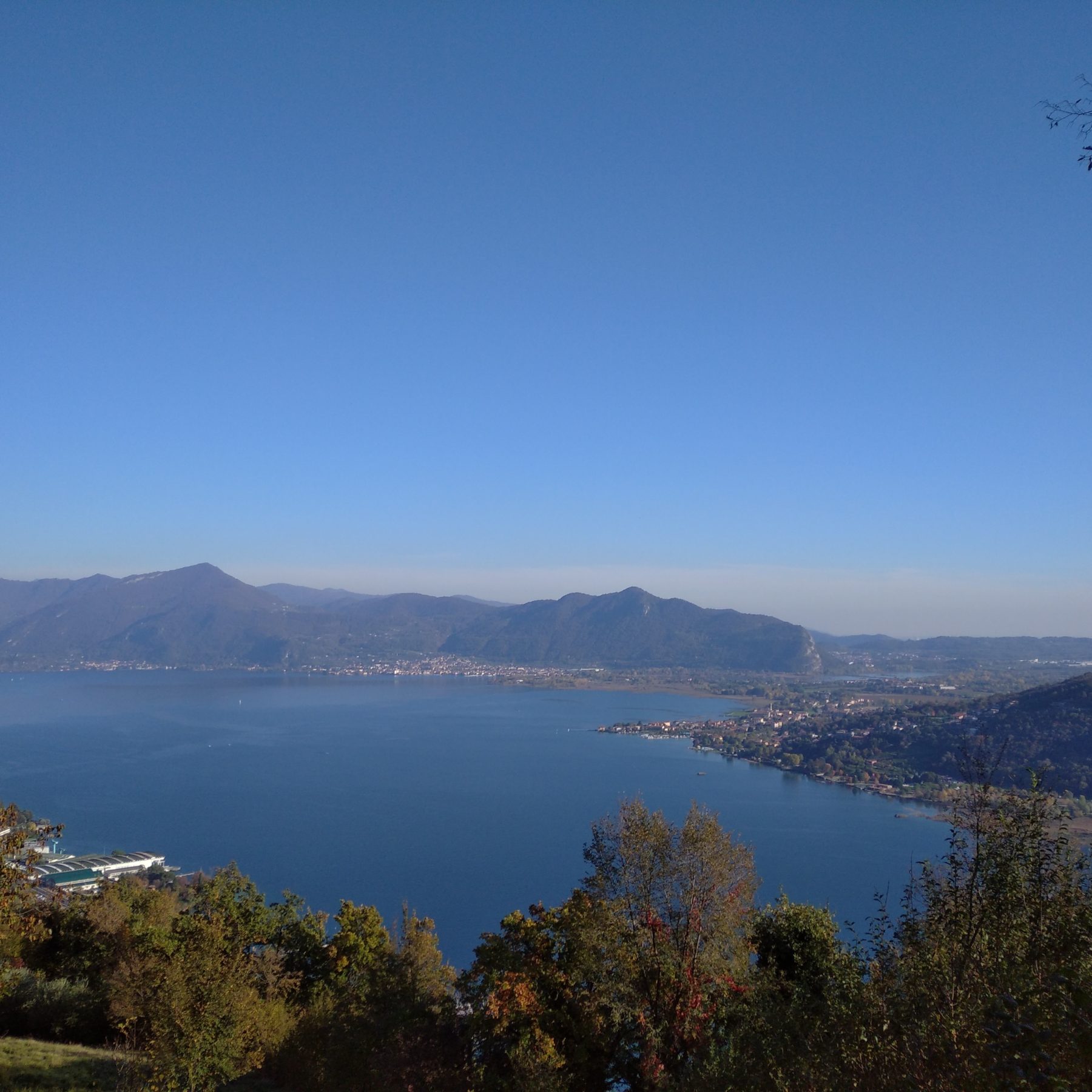
The Forcella-Molere trail runs along the crest of the hills, about 400 mts high, just behind the center of Sarnico, in a panoramic position on the Iseo Lake; it is a mountain path, surrounded by an unspoilt copse facing the southern part of Lake Iseo. The trail, having been restored and made easy accessible, represents the main axis of a net of routes that link the Forcella to the towns of Predore and Viadanica.
The envisaged path runs mostly on the Trans Padana Centrale (TPC), the most important excursional path of the area: from the Post Office car park on Corso Europa, along Via Faletto, you can reach the path named “Percorso della Madonna” characterized by beautiful olive trees and cypresses that takes you deep inside the beautiful mediterranean atmosphere.
You will soon find the tiny chapel dedicated to the Virgin Mother, 398 mts high, where you can enjoy a stunning view of the lake and walk along a precious, ancient and well kept stone pavement road with steps in local stone and sideboards in pebbles.
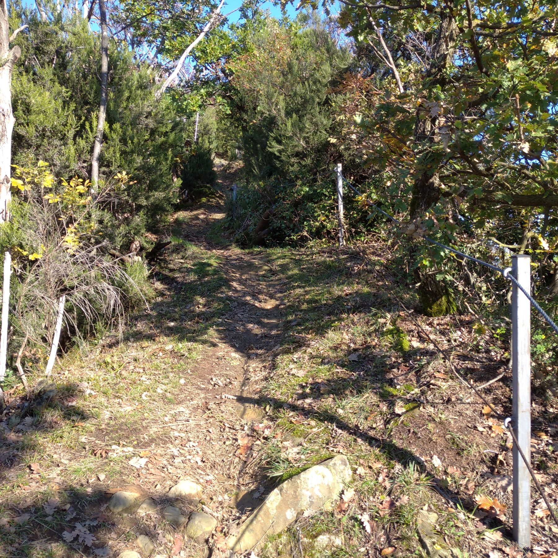
In a few steps you’ll reach the Forcella, turn left and follow the road that will take you higher into the woods, where the scenary becomes more and more interesting from a nature point of view.
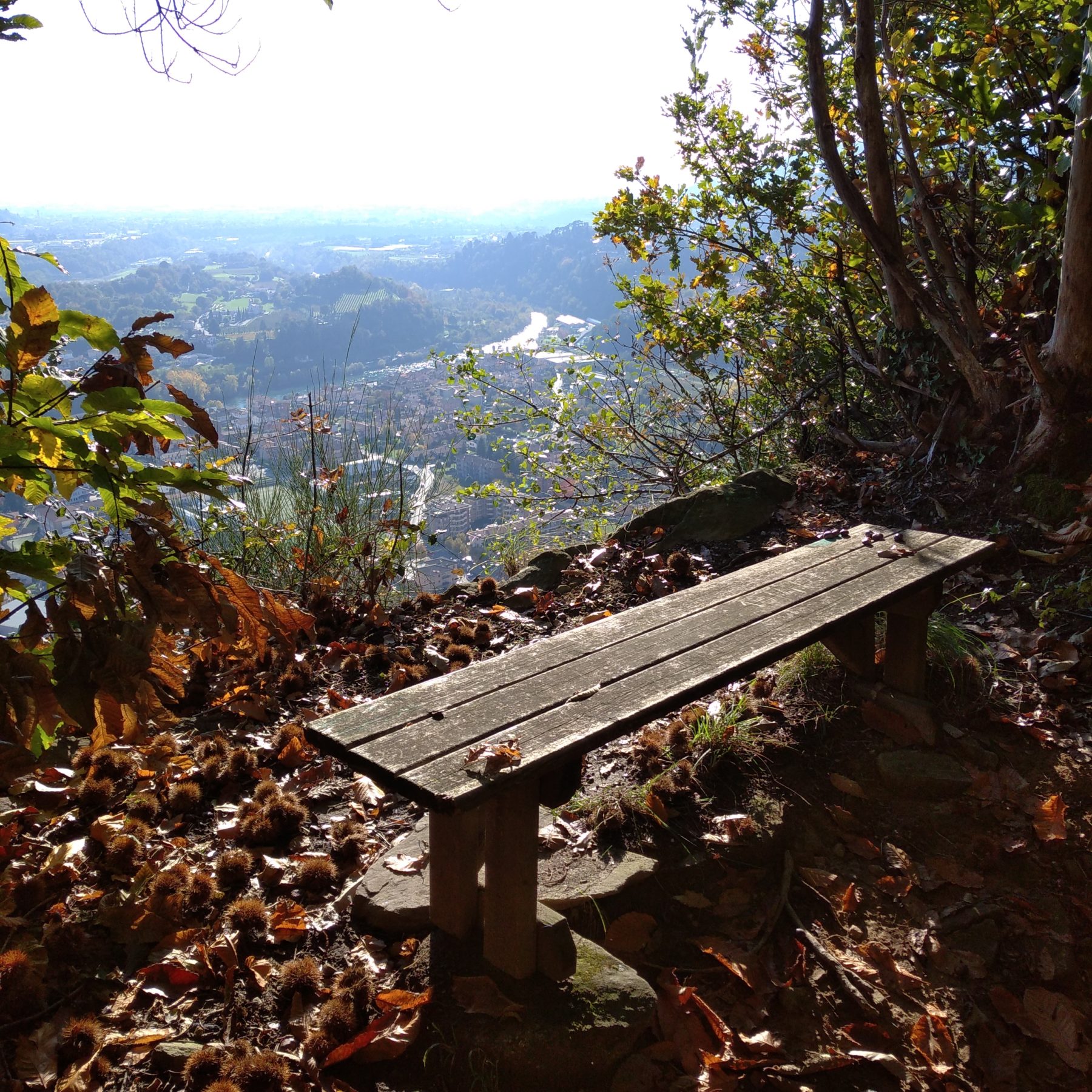
After a few minutes walk from the Forcella, following the signs the path will take you on the crest of the mountain characterized by a beautiful view of Sarnico and the Oglio river. You then proceed in the woods through a gently rolling hills road, where you can find area dedicated to rest and enjoy the tranquillity of the places.
Past the Molere area which is the most captivating element of our walk, you will find the Rocca de Zucchellis, an ancient defence outpost of our territory, built in the second half of the XIII century.
The trail very well sign-posted, ends nearby Cerro Alto, not far from Castione, precious historical center perfectly represented by the church of SS Nazario and Rocco and by the Rocchetta.
DE – Der Forcella-Molere-Weg entwickelt sich entlang des Hügelkamms hinter dem Stadtzentrum von Sarnico, auf etwa 400 Metern über dem Meeresspiegel, mit einem Blick auf den Iseosee. Es handelt sich um einen hügeliger Weg, der durch zwei besondere Elemente gekennzeichnet ist: er ist von Niederwald umgegeben und bietet einen Blick auf den unteren Teil vom Iseosee.
Vom Postparkplatz am Corso Europa, nimmt man via Faletto und folgt dem Weg “Pfad der Madonna” (Percorso della Madonna), im Schatten von Oliven- und Zypressenbäumen, die der Umgebung eine typische mediterrane Atmosphäre verleihen. Nachdem man eine Kapelle erreicht hat, aus der man einen herrlichen Blick auf den See genießen kann, wandert man auf einem gut erhaltenen gepflasterten Weg mit Stufen aus Sarnico-Sandstein. Kurz nach der Abzweigung bieget man links ab und folgt einem asphaltierten Pfad, der sich fortsetzt und in der Höhe ansteigt. In einem Szenario, das sowohl landschaftlich als auch naturalistisch immer interessanter wird, kommt man zum Wald. Wenige Minuten von der Forcella entfernt setzt sich die Route fort und folgt den Schildern entlang des Hügelkamms, der durch einen herrlichen Panoramablick auf das Stadtzentrum von Sarnico, den Iseosee und den Fluss Oglio gekennzeichnet ist. Man geht in einem großen Waldgebiet durch, wo sich ausgestattete Panorama-Stellplätzen befinden, die ideal für einen Zwischenstopp sind. Nachdem man das Molere-Gebiet vorbeigegangen ist (der eindrucksvollste Abschnitt der gesamten Route), wird man die “Rocca de ‘Zucchellis” erreichen: ein alter Vorposten des Territoriums, der in der zweiten Hälfte des 13. Jahrhunderts erbaut wurde. Die Route endet in der Nähe von Cerro Alto, nicht weit vom Ortsteil Castione entfernt, einem wertvollen historischen Kern mit der Kirche von Santi Nazario und Rocco und der Rocchetta.
How to arrive and where to park / Anreise und Parkplätze
A4 highway exits: Ponte Oglio and Palazzolo sull’Oglio. It is then necessary to follow the signs to Sarnico. For those arriving from Bergamo and Brescia: follow the indications for Lake Iseo and then for Sarnico. For those arriving from Lovere: follow the SP 469 until you reach the Post Office parking space.
Free parking space in corso Europa, near the post office.
DE – Autobahnausfahrt A4: Ponte Oglio und Palazzolo sull’Oglio, dann folgt man den Schildern nach Sarnico. Wenn man aus Bergamo oder Brescia anreist, folgt man den Schildern zum Iseosee und dann nach Sarnico. Wenn man aus Lovere anreist, folgt man dem SP 469 zum Postparkplatz.
Kostenloser Parkplatz des Postamts, Corso Europa.
Useful info / nützliche Info
Proper shoes are recommended.
The trail may be slippery in rainy days.
DE – Geeignete Schuhe werden empfohlen.
Der Weg kann an Regentagen rutschig sein.
DETAILS
- Difficulty:
Medium - Duration:
1h 20 min - Distance:
4 km - Elevation gain:
+276 m - Starting point:
Corso Europa, Sarnico - Arrival point:
Via Cerro Alto - Trail number:
TPC (Transpadana centrale)


